-
Posts
10,751 -
Joined
-
Last visited
Content Type
Profiles
Blogs
Forums
American Weather
Media Demo
Store
Gallery
Everything posted by Chinook
-
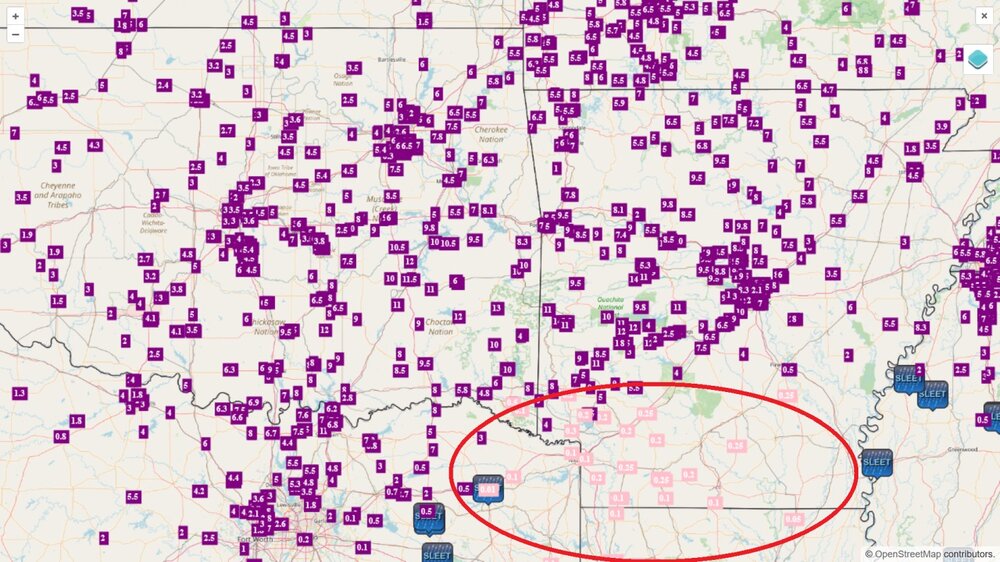
snow reports from Dallas to you guys in Missouri, including some ones over 10" in Oklahoma and nearby areas of Arkansas.
-
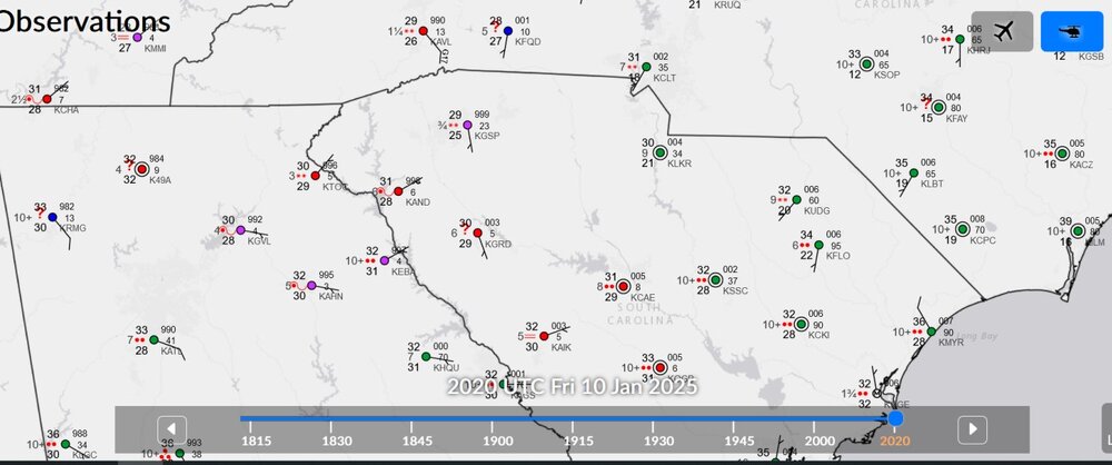
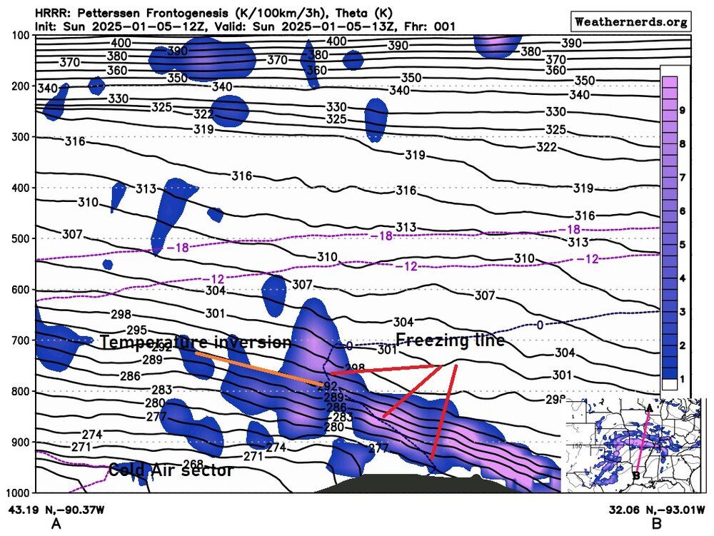
31 degrees and -RA in South Carolina? It sounds like a -FZRA to me. Hope everybody stays safe out there with this storm.
-
-

Let’s talk winter!! Ohio and surrounding states!! 24'-25'
Chinook replied to buckeye's topic in Lakes/Ohio Valley
-
-
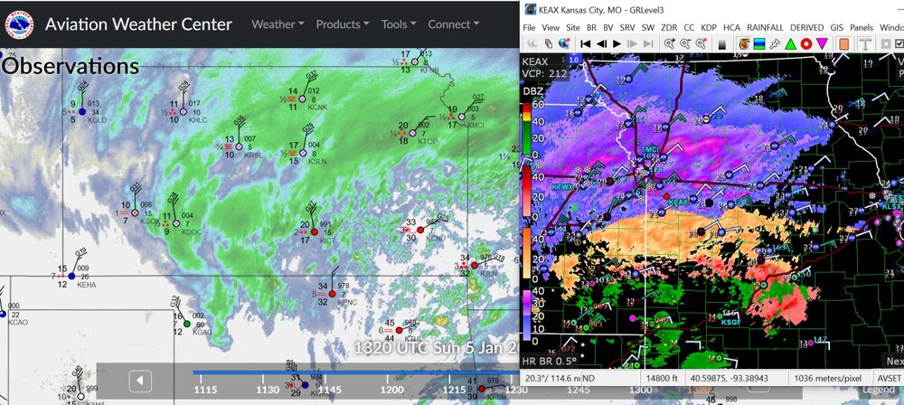
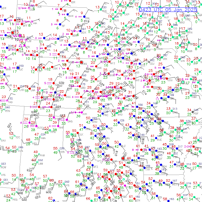
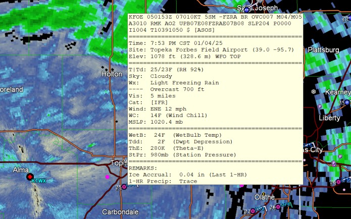
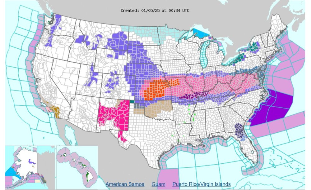
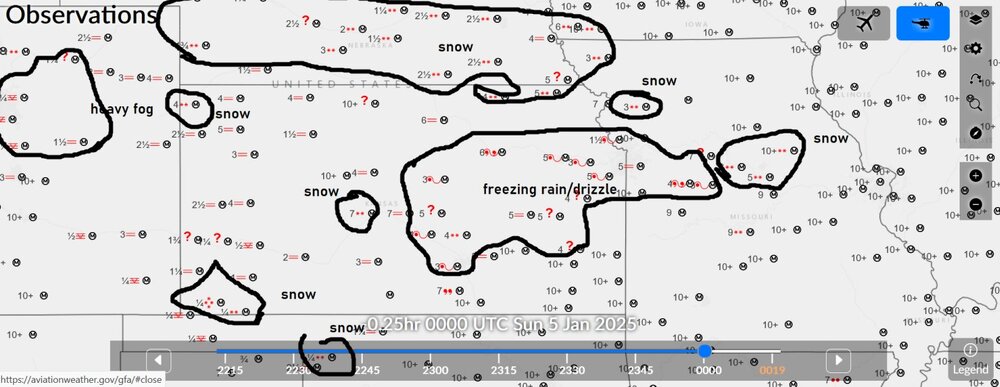
The winds are getting strong in Kansas, leading to blizzard conditions. There has been some brief lightning (thundersnow) in Kansas. There is snow, sleet, and freezing rain in Missouri.
-
-
-
-
-
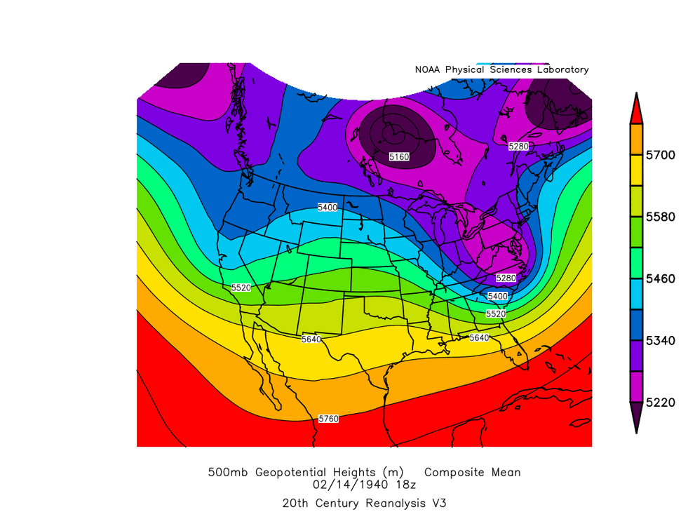
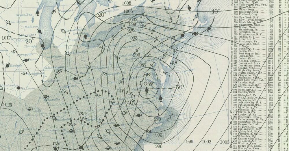
Don't you wish you could time travel to 1940 to see this bomb storm, went from 1011 to 987 and lower 15"-25" for PA to NY State (Susquehanna PA had 22") February 14, 1940
-
-
-
-
-
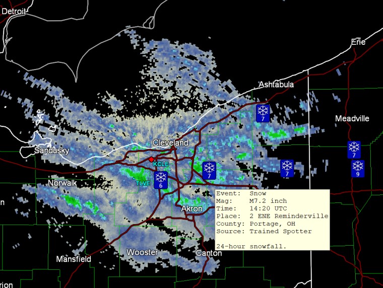
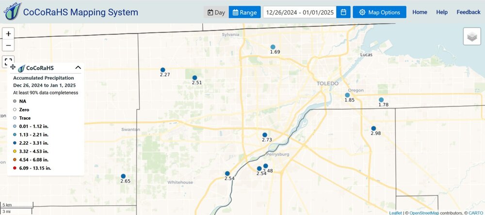
And then I had to drive 100 miles to go to my family Christmas party! (Not at 6:00AM though.) The end of December precipitation is like a month worth of precipitation. There were lakes in fields on my trip yesterday. Up to 3.32" (not shown) in two spots in NW Ohio over this time frame.
-
my place just got the warm front fog.
-
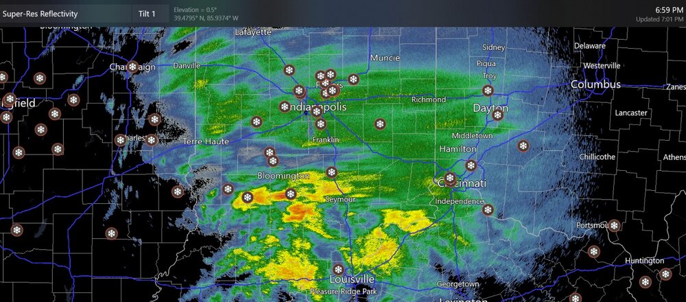
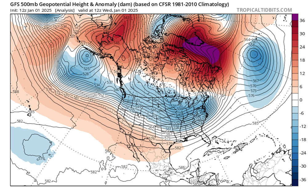
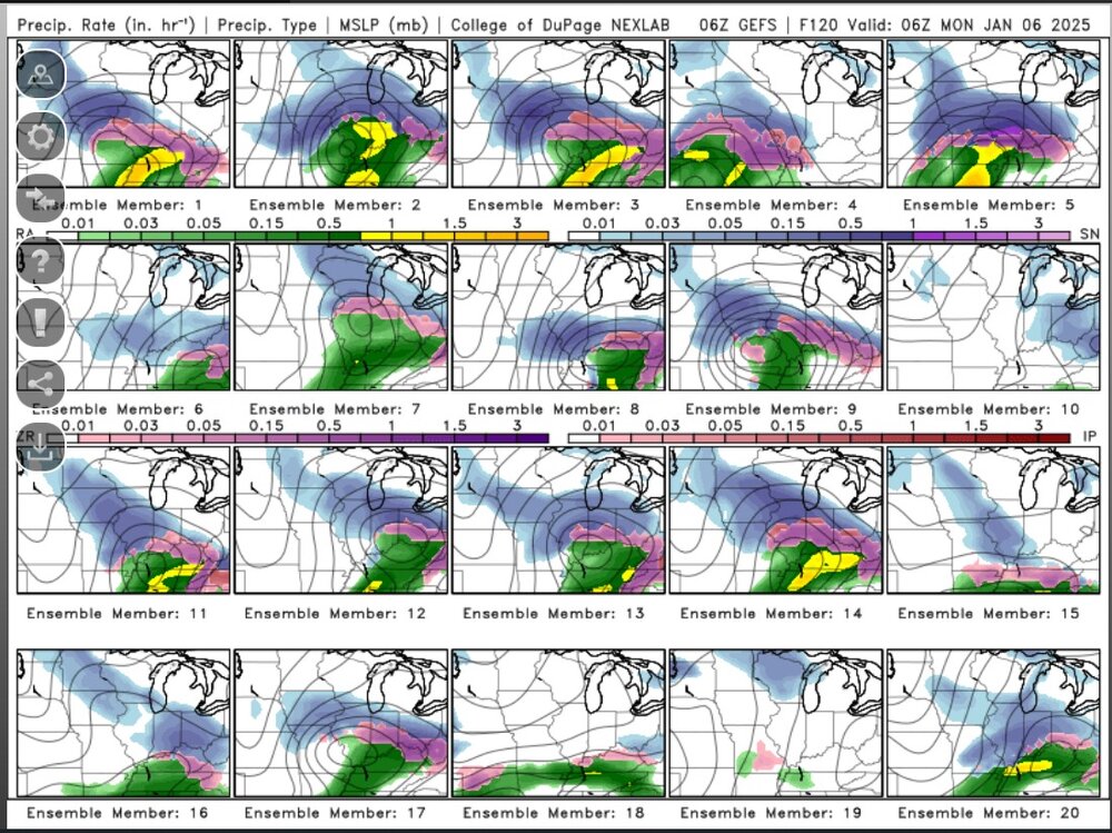
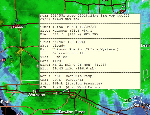
unknown precipitation? must be sleet. You're right. With colder air we would say that this low pressure position would bring a nasty snowstorm in Michigan and the Chicago area. The 850mb temps aren't close, though, really, as you would want a zone of -6C to -10C for the deformation zone and some -4C values for guaranteed snow. I would say that if things were 9degrees C cooler, we'd still manage to get rain right at Toledo, or possibly freezing rain.
-
-
-
-
-
-
-






.thumb.jpg.f675fdc482dc8c57e5ff9677a7b59a28.jpg)
