kat5hurricane
-
Posts
918 -
Joined
-
Last visited
Content Type
Profiles
Blogs
Forums
American Weather
Media Demo
Store
Gallery
Everything posted by kat5hurricane
-
An unforgettable moment.
-
Ok, I can't be the only one that felt that. I was just saying to people at work, what the hell was that? Edit: I see that all you guys felt it too. Wild
-
No it's not. You guys are being dramatic. Who knows if we'll see a period like 2000-2018 in our lifetimes again (likely not) but to say that snowy winters won't exist anymore is hyperbolic. The cold and snowy combo might be harder to come by though but we will have above normal snow winters again.
-
Rain is relentless. Over 2" here
-
My favorite time of year sportswise. March Madness, playoffs around the corner for the NBA and NHL, NFL draft, start of baseball and the weather starting to get warmer livening up the mood in general.
-
This morning felt freaking freezing mainly because our bodies got accustomed to warmer temperatures. In a "normal" mid to late March or what used to be normal, this wouldn't feel as cold. Last week and this past weekend were beauties, lets get back to that please.
-
The SSTs will also fuel bigger storms so while winters will warm, we should experience more bigger storms. More winters like '05-'06 and '15-'16 and less like '13-'14 and '14-'15. We really need a cooperative pacific for prolonged winter or the real big storms and that just hasn't happened for a long time. Eventually the warmer climate will likely be so overwhelming that relatively snowless winters will be the norm but I don't think that'll happen in our lifetime. A snowy period will occur again.
-
Not just that but 5 straight 30+ inch seasons to close out the 2010s and this is Central Park measurements. We were truly spoiled in the 2000s and 2010s so eventually the pendulum was going to swing in the other direction and ... here we are. I don't think this is the new norm snowwise, it's just a down cycle.
-
Refresher snow & obs between ~midnight and Noon Sat Feb 17 2024
kat5hurricane replied to wdrag's topic in New York City Metro
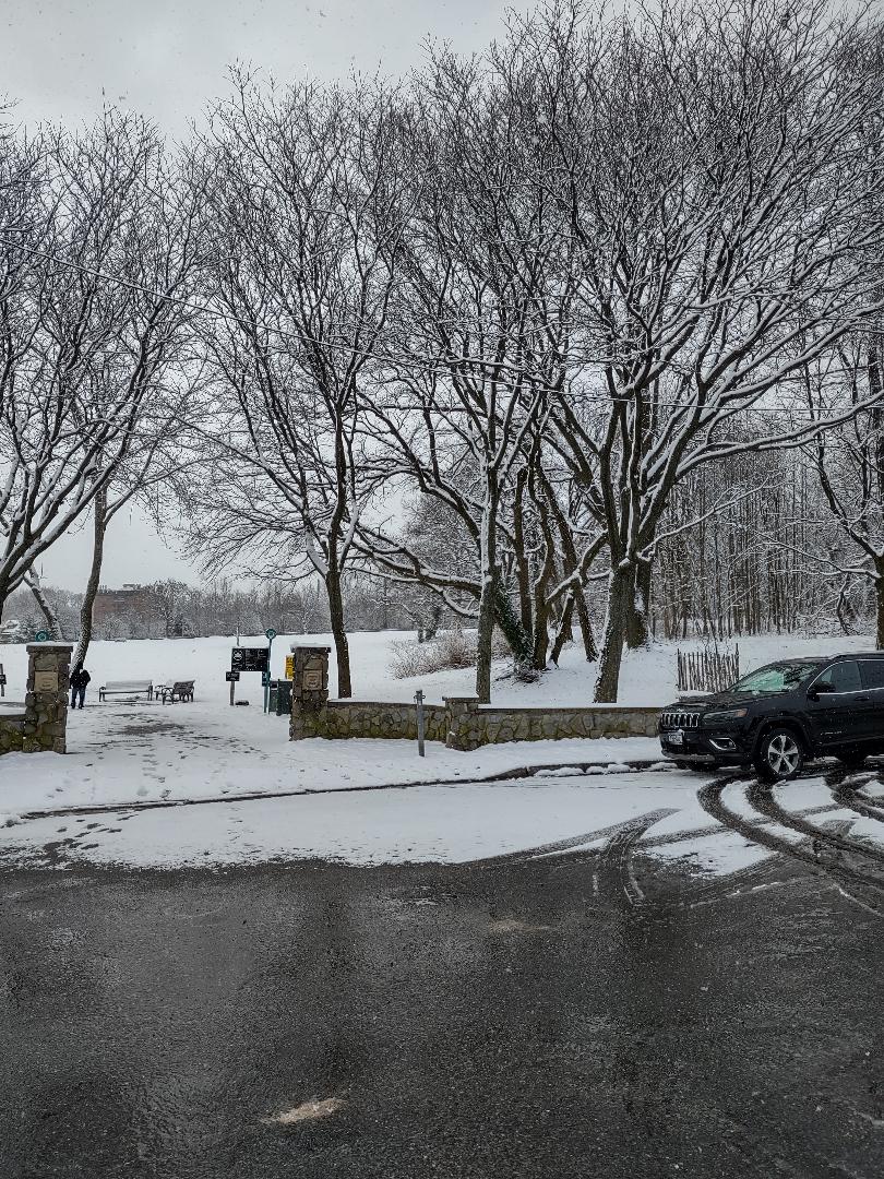
It's not much but it's beautiful, around 3-4 inches here.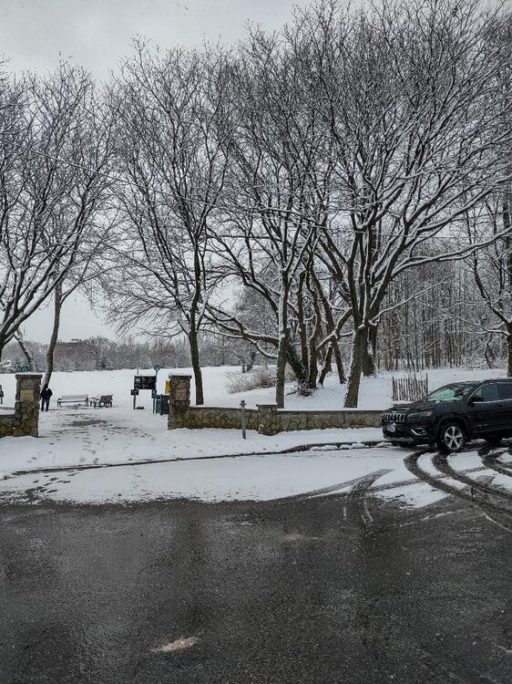
-
Refresher snow & obs between ~midnight and Noon Sat Feb 17 2024
kat5hurricane replied to wdrag's topic in New York City Metro
Only about 2" here but it's a pretty snow. Looks like the Central Jersey folks did quite well. -
2016 was kind of a fluke. It was a nothing winter saved by one massive storm, sort of like '05-06. The difference in perception with 2016 is that it was smack dab in the middle of the snowiest 20 year period in history or close to following 2 great winters and my personal favorite '14-'15 so it was ok to have a down winter, relatively. When you have 2 winters in the previous 4 at below 5" (at Central Park at least), it makes another ratter a tough one to deal with. Personally, as much as I love snow, I care less about cold winters as I get older and I'm not really that old so if we're not going to snow, bring on spring.
-
Sure, if you compare this to arguably the worst winter of all time it's fine but compared to a normal winter this has been another awful winter so I think there's a lot to complain about if you're a snow lover. It's all a matter of perspective I guess.
-
North and west almost always does better.in any setup. That isn't exclusive to this winter or recent winters. The coast (L.I. specifically) did extraordinarily well in the 2000-2018 period because there were so many dynamic systems with perfect benchmark tracks, not to mention lots of blocky periods creating long duration events. This system was moving too quickly like so many in recent years and not dynamic enough to drop really high totals at the coast. Still, it was a very good storm for most so nothing to complain about really.
-
4-8" in and around the metro. Pretty spot on forecast overall outside of the northern areas which greatly overperformed. I think some saw the 6z euro with the 12"+ numbers and set unreasonable expectations. Very nice storm, the best in 2 years.
-
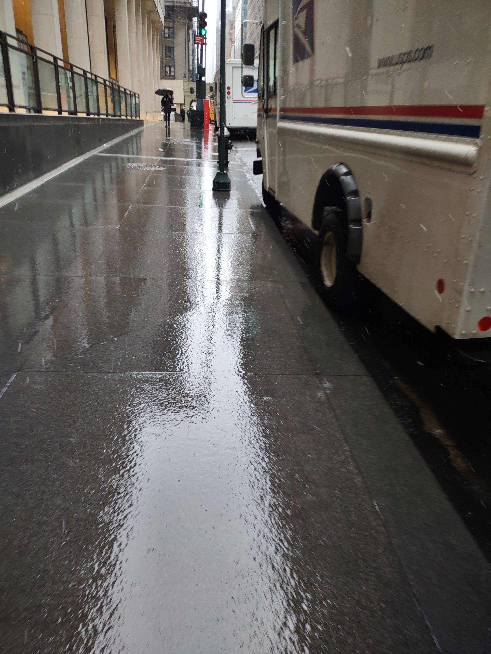
I was actually sad going into Manhattan, the transition from beautiful snowcovered landscape in western Queens going into the tunnel to gross wet concrete coming out of the tunnel was eye opening. Not that I expected any different.
-
Oh I know. I just find it funny that you couldn't tell it snowed at all in Manhattan while everywhere else is a winter wonderland. The snow has picked up here recently fwiw.
-
Heat Island, Concrete Jungle, New Puddle City etc.

-
Yep, we got the screw zone on this one. NYC and North Central Jersey. Reminds me of March 2018 with so many near misses with the real heavy stuff. Still, it's a nice little storm 4-6 inch kind of deal which we take after 2 years of mostly nothing.
-
Yep, the real heavy stuff will be reserved for you guys on L.I. and north and west of the city. You're in a prime spot to get blitzed.
-
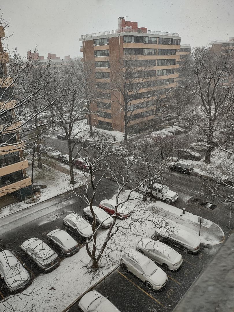
Steady moderate snow, big flakes. About 3" now
-
Moderate here occasionally heavy, eyeballing around 2". I'm starting to think that NYC is going to get stuck in the subsidence zone between the heavy band on L.I. and north and west. Hopefully the NW band pivots through here. We'll see
-
Gotcha. Just to clarify though, I did say wet main roads and a nice little coating on the grass. We dumping now though so lets have some fun. Hopefully the sun angle doesn't melt everything, I kid I kid.
-
Yep, same here but it was more like 7:30
-
Yeah, I'm just off of Powells Cove.
-
@ag3 @BxEngine@MJO812 This was about 30 minutes ago...