

CAPE
-
Posts
36,283 -
Joined
-
Last visited
Content Type
Profiles
Blogs
Forums
American Weather
Media Demo
Store
Gallery
Everything posted by CAPE
-
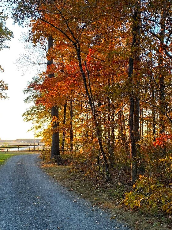
Colors are pretty decent considering how dry it is here. Probably a bit ahead of schedule and more leaves than usual have fallen prematurely.
-
Problem is the pattern that would produce that warmth is also a dry one.
-
No. The Dean Pees D had the same problems for much of the time he was here- Playing soft and giving up leads(Swiss Pees). At this point probably just have to stick with Orr with Pees helping out and hope things improve. Wish they would have hired Pagano as an advisor instead of Pees.
-
Kind of agree, but 2 weeks ago they brought back Dean 'Swiss' Pees as a consultant. Shockingly, no improvement lol.
-
Good win, but it should have been much easier. Might be good for this team to have issues to work on going forward rather than being frontrunners. That didn't work out so well in 2019 or last year when statistically they were dominant.
-
And don't throw a backwards pass with a big lead. That gave the Bucs a spark when they had no life.
-
Ravens need to fix the damn defense. And figure out how to recover an on sides kick. Also wtf is Harbaugh doing on that last drive pulling Lamar and D Henry when the Bucs had 3 timeouts? Ravens offense is close to a juggernaut if they can clean up the penalties. But no lead will be safe with the D as it is.
-
After last winter's debacle with the extended/weeklies products, I will be even more cautious than usual with the pattern depiction, especially any suggestion of a wholesale change beyond the range of the ensembles. So with that said, the Euro Ens and GEFS both depict a +WPO/EPO pattern developing going forward, which is usually a warm one for us. GEFS look is probably warmer in the LR with a trough along the west coast into early November, while the Euro has a bit of a PNA ridge.
-
72 with a DP of 34 here. Feels nice. Tuesday and Wed will feel hot, with more of a flow from the south and temps of 80 or so.
-
low of 38
-
Less than a mile from my house.
-
Less than 2" in Sept, and nothing so far in October.
-
Saw a decent sized dust devil today over a dry, dusty field. Remnant corn husks were pulled into the circulation, which made it pretty impressive looking. Tried to get a video but some guy and his wife in a pickup truck pulled over so she could run out into the middle of it and flail her arms around. Was kind of annoying.
-
low of 37 With a very dry air mass in place and continuing drought conditions, at least there won't be any wind to speak of.
-
Us? Location dependent. Not sure what a cooperative Pac means tbh(you didn't say that but you responded to a post that did). A 'flood' of PAC air associated with the NPJ will often produce prolific snows in the high terrain of the western US. Also, the Pac jet characteristics(extensions, contractions) are variable, and will induce shifts in the strength/location of associated h5 features that ultimately impact the sensible weather further downstream. This is never a constant, so even in an overall hostile pattern for winter weather, periods of actual legit winter weather can still occur. We have seen this happen multiple times in recent winters with -PDO/Nina conditions.
-
The warmth is a bit annoying. Rather have sunny and 60, but looks like multiple days of mid 70s next week. Some places will likely see 80 in the next week.
-
From the evening Mount Holly AFD- LONG TERM /SATURDAY NIGHT THROUGH WEDNESDAY/... The long term forecast required little changes to an overall stagnant weather pattern. Our area will generally lie under the upper ridge through Monday before the ridge shifts offshore on Tuesday. A shortwave then looks to approach the area on Wednesday. At the surface, high pressure will remain situated overhead through at least Monday before shifting east on Tuesday. A cold front tries to work its way into the region from the northwest on Wednesday, but current forecast guidance suggests there may be limited moisture available with it. With this being said, there simply does not appear to be any beneficial rain in sight, so the prolonged period of dryness continues with clear skies and above normal temperatures.
-
low of 39
-
Too dry. I have to water the new grass and then ofc it becomes a feeding ground for the moles as the earthworms come up towards the surface.
-
Rex Ryan would have been better, but probably not available.
-
Might be a good thing. He was the Titans DC when they derailed the Ravens dominant offense in the playoffs in 2019. That said, I wasn't a big fan of his work overall as the DC when he was here. Remember the 'Swiss Pees' prevent defense? Seems quite similar to the issues they are having now.
-
Don't apologize. Literally no one else would have a problem with it, and 'getting' the intent of it.
-
If only the Ravens could get past Mahomes in the playoffs.
-
Meanwhile Lamar owns the entire NFC. 22-1.
-
How bout dem cowboys! What a joke lol.


