

TellicoWx
-
Posts
2,632 -
Joined
-
Last visited
Content Type
Profiles
Blogs
Forums
American Weather
Media Demo
Store
Gallery
Everything posted by TellicoWx
-
January 15th-17th 2024 Arctic Blast/Snow Event
TellicoWx replied to John1122's topic in Tennessee Valley
For those stuck up against the base of the mountain and rain..the HRRR, which has been fairly accurate with the snow cutoff imby, has slowly been bumping totals up last couple runs for later this evening. Is it right, who knows, but may not end up completely blanked. -
January 15th-17th 2024 Arctic Blast/Snow Event
TellicoWx replied to John1122's topic in Tennessee Valley
Congrats, hope you guys can score om that side. We are fighting a SE wind..got up to 15-20 as the temp jumped. Until that switches directions we are out of luck. -
January 15th-17th 2024 Arctic Blast/Snow Event
TellicoWx replied to John1122's topic in Tennessee Valley
WAA really kicking in here..jumped 3° in last 30 mins..up to 36.1 now -
January 15th-17th 2024 Arctic Blast/Snow Event
TellicoWx replied to John1122's topic in Tennessee Valley
Nc/TN line on Cherohala Skyway..all rain as well...0" snow -
January 15th-17th 2024 Arctic Blast/Snow Event
TellicoWx replied to John1122's topic in Tennessee Valley
At least I can use my rain gauge to help figure out the ratios lol -
January 15th-17th 2024 Arctic Blast/Snow Event
TellicoWx replied to John1122's topic in Tennessee Valley
It's all good lol, will say in all my model watching years, this craziest storm ever. Was good learning lesson...fear the nose...even if arctic air is here. -
January 15th-17th 2024 Arctic Blast/Snow Event
TellicoWx replied to John1122's topic in Tennessee Valley
Congrats to everyone who scored. Glad a decided to take a nap this morning...all rain here. -
January 15th-17th 2024 Arctic Blast/Snow Event
TellicoWx replied to John1122's topic in Tennessee Valley
This is about one of the most complex systems I can remember IMBY. Just when I go to throw in the towel, the RAP does a 180. QPF is a major problem from my area, more so than a warm nose. HRRR could be right, but I've never seen the state line on the Skyway stay below freezing while Coker Creek/Rafter doesn't, and Tellico does. -
January 15th-17th 2024 Arctic Blast/Snow Event
TellicoWx replied to John1122's topic in Tennessee Valley
Well that didn't take long...all snow and elevated surfaces are white. Sister didn't believe me so made a mini snowball -
January 15th-17th 2024 Arctic Blast/Snow Event
TellicoWx replied to John1122's topic in Tennessee Valley
Looking at Chatt PWS stations, looks like they will wetbulb below 32 -
January 15th-17th 2024 Arctic Blast/Snow Event
TellicoWx replied to John1122's topic in Tennessee Valley
Got a 50/50 sleet/snow mix now -
January 15th-17th 2024 Arctic Blast/Snow Event
TellicoWx replied to John1122's topic in Tennessee Valley
If you would have asked me 3 hrs ago if I could get to 32 without wetbulbing, I would have said not a shot...yet here we are. T32...DP 26 -
January 15th-17th 2024 Arctic Blast/Snow Event
TellicoWx replied to John1122's topic in Tennessee Valley
Yep...should have drawed the eyes bigger -
January 15th-17th 2024 Arctic Blast/Snow Event
TellicoWx replied to John1122's topic in Tennessee Valley
I helped it out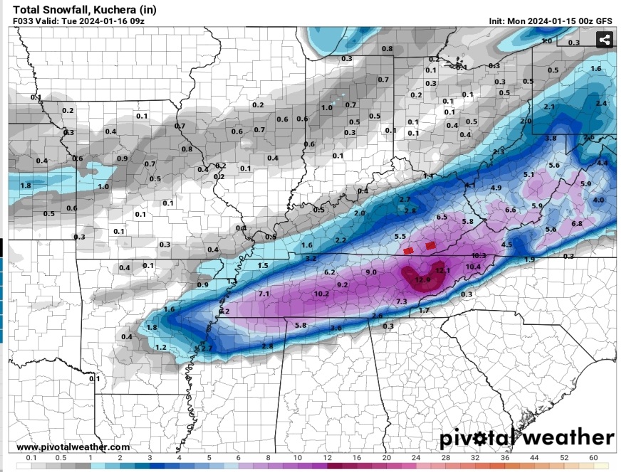
-
January 15th-17th 2024 Arctic Blast/Snow Event
TellicoWx replied to John1122's topic in Tennessee Valley
I can drive a mile up the road I go from 37 to 31...there is definitely a tight gradient here -
January 15th-17th 2024 Arctic Blast/Snow Event
TellicoWx replied to John1122's topic in Tennessee Valley
Temps starting to fall off the cliff here...28 in Madisonville. Good news is DP has stayed steady as air temp dropped. -
January 15th-17th 2024 Arctic Blast/Snow Event
TellicoWx replied to John1122's topic in Tennessee Valley
Did they hire actual meteorologists lol...their afd have been a tremendous improvement -
January 15th-17th 2024 Arctic Blast/Snow Event
TellicoWx replied to John1122's topic in Tennessee Valley
Pulaski TN reporting 3" -
January 15th-17th 2024 Arctic Blast/Snow Event
TellicoWx replied to John1122's topic in Tennessee Valley
Last yard stick reading I saw posted was around 3"..been a few ago -
January 15th-17th 2024 Arctic Blast/Snow Event
TellicoWx replied to John1122's topic in Tennessee Valley
Congrats to TYS on its "Iconic" 12" lol -
January 15th-17th 2024 Arctic Blast/Snow Event
TellicoWx replied to John1122's topic in Tennessee Valley
Not sure if anyone posted...2 hrs ago from SPC...show has really got rolling yet. -
January 15th-17th 2024 Arctic Blast/Snow Event
TellicoWx replied to John1122's topic in Tennessee Valley
Lot of videos from Hun of sidewalks and cars encased in ice...Shoals area and north border on TN side is all snow with roads covered -
January 15th-17th 2024 Arctic Blast/Snow Event
TellicoWx replied to John1122's topic in Tennessee Valley
Think finally found the Arctic boundary on radar (blue circle)..if you loop the radar out of Hun you can see it moving due south -
January 15th-17th 2024 Arctic Blast/Snow Event
TellicoWx replied to John1122's topic in Tennessee Valley
Hope you guys score...yeah anxiety little high here waiting on the temps..or I'm just old and impatient lol -
January 15th-17th 2024 Arctic Blast/Snow Event
TellicoWx replied to John1122's topic in Tennessee Valley
3k


