

radarman
-
Posts
14,474 -
Joined
-
Last visited
2 Followers


About radarman

Recent Profile Visitors
11,797 profile views


-
 That's gonna feel good after my 106 high and 84 low yesterday at AFW
 -
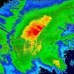
I was on eastern Long Island the weekend before last and they got absolutely rocked with severe on the 4th of July. Damage in every yard, with multiple measured gusts of 87. I saw Hartford (edit Bristol) got 3" hail that day too. Better than anything I've seen nearby this spring. BTown has been hit a few times too as usual. Anyway I'm still involved in running the UMass radar and following wx back there closely.
-
Very, very doubtful. Maybe some TORs here though, 12/26/15 featured a violent EF4 in DFW. S Rockies hopefully will cash in on Nino climo, not too far of a flight / drive from here to N NM and SW CO.
-
Yes in April and we'll see for how long. "Enjoying" low 100s this week, but headed back to the valley and maybe get a beach day on the cape this weekend. We still haven't been as hot as what SNE has been this year, and much less humid and smoky too. Plus the super nino might take some of the sting off missing winter.
-
No guarantee it gets that hot down here (Ft Worth) this summer.
-
Congrats, post pics
-
from 202 in Granby/Btown
-
Positive bust on coverage in this part of the valley. Aesthetic too, just not severe.
-
Ski resort tycoon game based on the NELSAP site https://icecoastrevival.com/
-
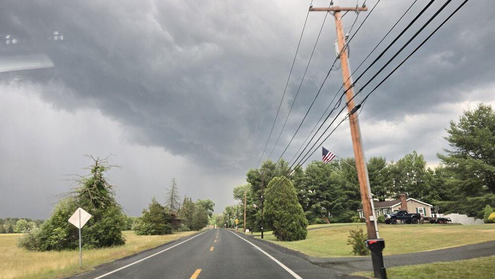
Heading back to W MA this morning after moving to TX for business reasons. Could be the most exciting wx I've seen all spring. With the nino we've had great lapse rates down there several times but hardly any shear. Now we'll see if the opposite can produce. Local pockets might be able to come up with a small amount of surface instability in the valley, kind of hope the line shows up a bit later than progged.
-
31 for the low. Beautiful nonetheless. Sunny, birds chirping. Buds starting to open up into a light green mist in the canopy.
-
The big blue circles that appear quickly are absolutely ducting effects in general. But the bird signal tends to be buried in that noise because they aren't usually flying all that high off the ground and also because they roost at night and take off in the morning when the inversions are most pronounced. The reflectivity levels they produce are often pretty low because even though they are solid with a decent cross-section there aren't all that many of them (usually) in a volume of air compared to say droplets in moderate rain. Close to the radar where the measured volume sizes are smaller they'll be brighter. Also, the correlation coefficient is lower compared to rain based on the random orientation of their wings and asymmetric shape. Anyway I've met those guys and a few times I did get the sense that they were mistaking radar artifacts for birds but that would be the data in which you'd be looking for birds.
-
Yeah, it's over. Good luck making it to Sunday. Groomers can do magic but I had two locals tell me today was their last day.
-
Then hit up Treehouse Deerfield on this warm July night, packed. Folks in short shorts outside. 80 degrees still my goodness
-
Awesome day up your way, fair amount of fog shifting around run to run but super chill with a good bunch of peeps. Hayride skiers right might have been my fave


