TSSN+
-
Posts
4,772 -
Joined
-
Last visited
Content Type
Profiles
Blogs
Forums
American Weather
Media Demo
Store
Gallery
Everything posted by TSSN+
-
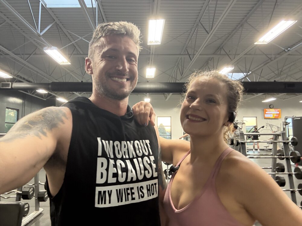
Anyone else here into working out? Me and my fiance hit the gym 6 days a week and take what we eat seriously. Gym couple goals.
-
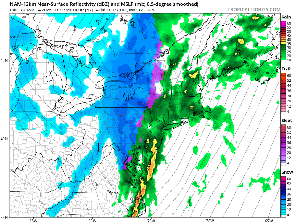
 I would guess LWX will issue a special weather statement later highlighting the risk. They put one out for the line that blew down all the power lines in Westminster in that moderate risk event like 3 years ago.
 -
Local news stations also show Spc outlooks
-
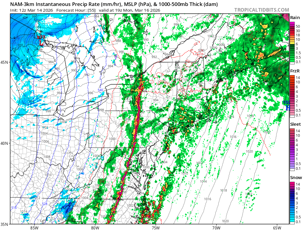
12z hrrr has a few cells west of dc that push ne into Maryland then kinda merge with the line.
-
Too confusing to me and I’m sure even more to general public.
- 1,093 replies
-
- 1
-

-
- severe
- thunderstorms
- (and 1 more)
-
I’m interested to see how this plays out. I think this looks more realistic than the 60% wind. At least into Maryland maybe more impressive over central/eastern VA and NC. To me it doesn’t look all that impressive on models. I hope I’m right and we don’t get widespread wind damage. I don’t want to be without power for an unknown amount of time.
- 1,093 replies
-
- 1
-

-
- severe
- thunderstorms
- (and 1 more)
-
Ya I was kidding haha.
-
North crew anal front this time?
-
It’s happening
-
12z Nam has nasty line in the afternoon

- 800 replies
-
- 3
-

-
- severe
- thunderstorms
- (and 7 more)
-
Not very impressive
-
Heck high risk or bust. lol
-
I mean if it continues I see 45% wind hatched at least for sure
-
It’s always cloudy on higher risk days. Always get the “ if it clears out” but hardly ever does lol
-
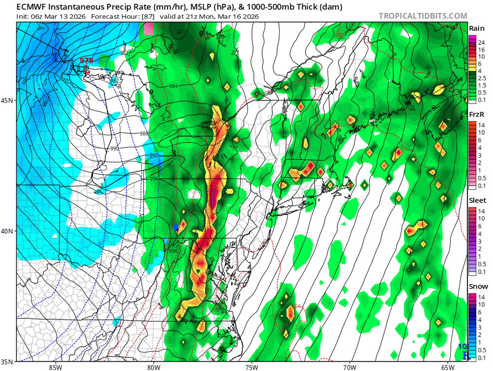
Euro looks pretty active
- 800 replies
-
- 3
-
-
- severe
- thunderstorms
- (and 7 more)
-
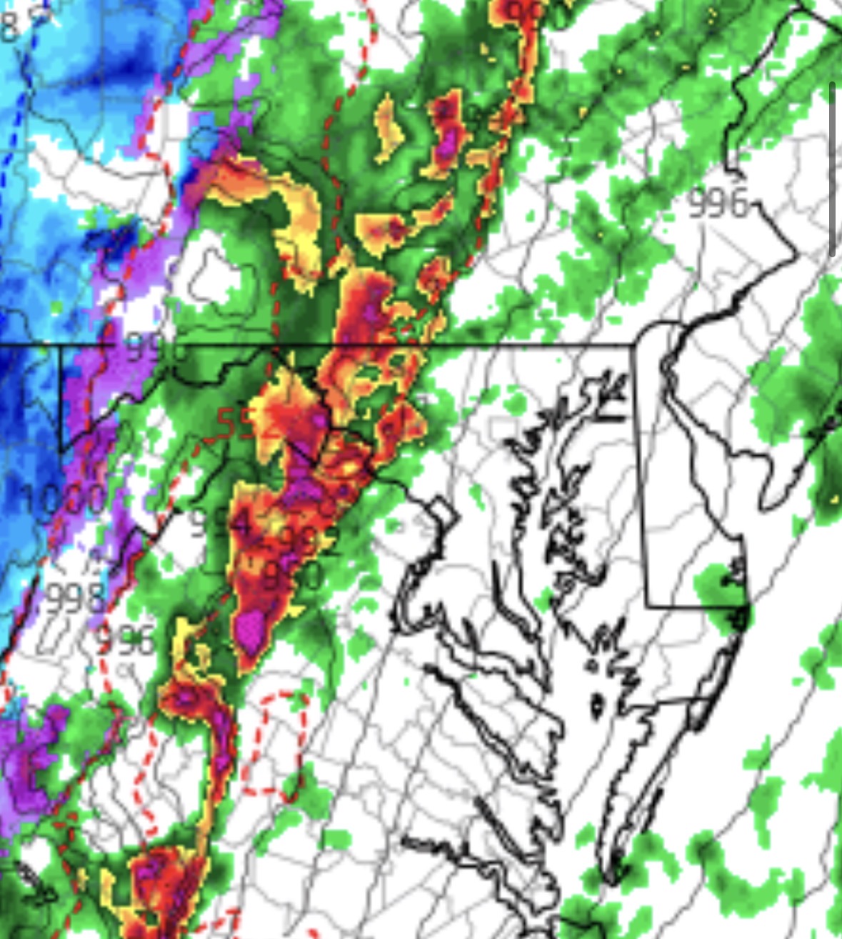
Saying I got not accumulation while people south of me did.. again.
-
Had me getting 5” I got 5 flakes not so great.
-
Nada for psu and me
-
And again after being in the 80s I don’t want to ever hear again it can’t snow and stick the next day lol
-
Missing the goods to the south again. The theme of the winter for me haha.
-
Snow/sleet 36