TSSN+
-
Posts
4,772 -
Joined
-
Last visited
Content Type
Profiles
Blogs
Forums
American Weather
Media Demo
Store
Gallery
Everything posted by TSSN+
-
More like the jester on this storm. Finally catches on in the last 24hrs
-
Yes
-
Fold
-

The February 22-23 Late Season Miracle: JV Disco/Banter Thread
TSSN+ replied to bncho's topic in Mid Atlantic
Been on a liquid diet for 24hrs. Finally got upgraded to real food lol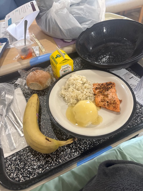
-
Hey if we get lucky, let it snow. If not I will carry on.
-
We all know the super unhinged haha
-
Track them yes. But I’m not crying over a storm misses. I don’t care if I get 1” or 15”. It’s whatever
-
Since when have I got upset that it’s not snowing? I haven’t. I say who cares. I don’t.
-
People get too worked up over this stuff. Over the last 2 years I learned to just let it go. Do I want snow? Sure. Am I going to freak out over it not? No
-
The February 22-23 Late Season Miracle: JV Disco/Banter Thread
TSSN+ replied to bncho's topic in Mid Atlantic
Not a lot to do when laying in a hospital bed haha -
The February 22-23 Late Season Miracle: JV Disco/Banter Thread
TSSN+ replied to bncho's topic in Mid Atlantic
I didn’t even see this thread. Thanks for all the well wishes. I am feeling better mostly. Had a high fever but that’s gone now, still have some pain in my abdomen but it’s much less than it was. Been on antibiotics, Tylenol,and pain meds. Waiting for a doctor to come in to discuss game plan. I wanna go home lol. -
In the hospital still but feeling much better than yesterday. Thank you
-
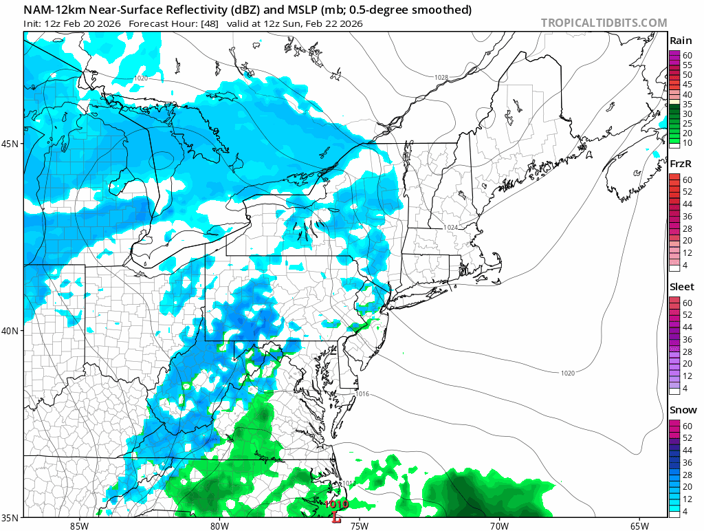
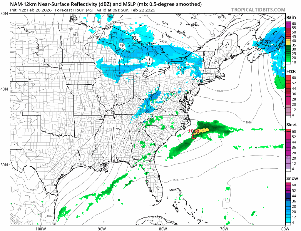
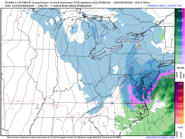
I’d say it’s about time we got positive game time improvements from a system. Hopefully it continues into tonight and we all looking at a massive snow storm.
-
They do now
-
URGENT - WINTER WEATHER MESSAGE National Weather Service Baltimore MD/Washington DC 812 AM EST Sat Feb 21 2026 DCZ001-MDZ013-016-504-VAZ053-054-057-501-506-526-527-212115- /O.EXA.KLWX.WS.A.0003.260222T2000Z-260223T1500Z/ District of Columbia-Prince Georges-Charles-Central and Southeast Montgomery-Fairfax-Arlington/Falls Church/Alexandria-King George- Northern Fauquier-Eastern Loudoun-Northwest Prince William- Central and Southeast Prince William/Manassas/Manassas Park- 812 AM EST Sat Feb 21 2026 ...WINTER STORM WATCH IN EFFECT FROM SUNDAY AFTERNOON THROUGH MONDAY MORNING... * WHAT...Heavy snow possible. Total snow accumulations of 5 or more inches possible. Winds could gust as high as 35 mph. * WHERE...DC and portions of central and southern Maryland, and central and northern Virginia. * WHEN...From Sunday afternoon through Monday morning. * IMPACTS...Plan on slippery road conditions. The hazardous conditions could impact the Monday morning commute. PRECAUTIONARY/PREPAREDNESS ACTIONS... Monitor the latest forecasts for updates on this situation.
-
It’s about to smoke
-
Lovely

-
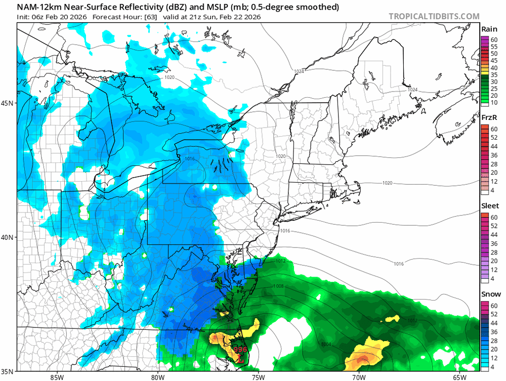
Ok let’s see where this goes

-
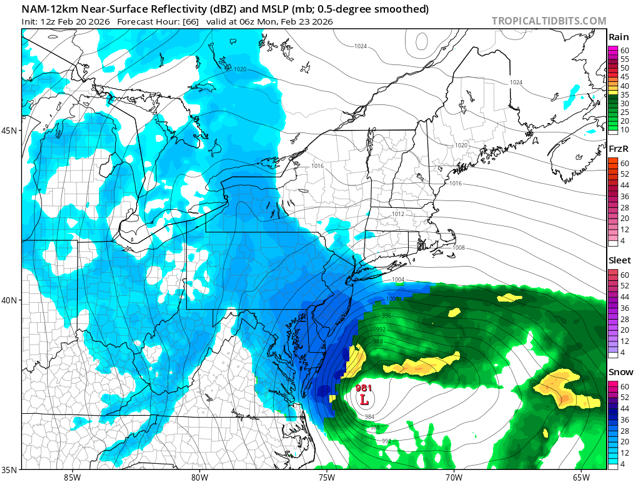
Looks pretty dang good to me
-
Better than 6z
-
USA gave all the other models bad data and only gfs got the right data so it can look good for once lol
-
We pretty much know what the cmc will look like from the Rgem
-
Probably won’t be as good, but cave? Idk
-
Sounds like your posting skills.
-
Cool thanks for the info