Winter Wizard
-
Posts
666 -
Joined
-
Last visited
Content Type
Profiles
Blogs
Forums
American Weather
Media Demo
Store
Gallery
Everything posted by Winter Wizard
-

Reconsider majoring in meteorology!
Winter Wizard replied to stormguy80's topic in Weather Forecasting and Discussion
I know this is an old thread (and unfortunately not a ton has changed over the past decade), but my two cents is if you're going to get a degree in Meteorology, it is important to supplement it with another marketable skill. Those include programming, GIS, business/finance, etc. depending on the path you choose. There is a lot of talk about how bad starting salaries are in this field and yes, there is a lot of truth to that, but you can do well if you look into the right places and are willing to expand your horizons. If you want to go on TV, you are looking at salaries in the 20s or low 30s to start and will likely have to move to a small town in a different part of the country. There are opportunities to move up, but those jobs are highly competitive, so you will really have to hustle. Ultimately, due to low wages and station politics, many end up leaving this sector after a few years. If you end up in broadcast, I would recommend not getting fixated on market size; rather, focus on where you can get the most on-air experience. That will help you eventually move up. The next main sector is operational forecasting and I'm bearish about long-term prospects here. Salaries are about the same or slightly higher than broadcast, but in many cases barely a livable wage and laughable for the work put in for the degree. You will be required to work overnights and weekends at most companies and this can take a major physical and mental toll. Not much upward mobility. NWS is a similar deal, however, the pay and benefits are much better and increase over time. To get in, you will likely need a couple years of experience in a private sector job or a Master's. Additionally, with automation becoming more and more prevalent, the demand for a large team of human forecasters is likely to decline, although there will still be a need. Overall, operational forecasting is a good way to get into the industry, but probably best to leave after a couple years. What has changed in the past 10 years is the emergence of the Weather Risk sector. This is a program only offered at a few schools; Penn State pioneered the program and others have recently added it. Weather risk involves sectors including catastrophe modeling, travel risk management, energy and commodities, insurance, reinsurance, etc. In these sectors, the salaries are much higher (can easily pull six figures) and demand will continue to increase as businesses are forced to adapt to climate change. Overall, if you are planning on getting a degree in Meteorology, this is definitely the most fruitful path, BUT it is highly competitive. Long story short, I would say reconsider majoring in Meteorology if it forces you into tens of thousands of dollars into student debt and you end up in a sector with little-to-no upward mobility. The Math, Physics, Chem, Programming, Stats, and Business (in weather risk) classes you are required to take gives you a variety of skills that can easily be applied to other fields outside of Meteorology. If you do go through with the major, please consider the various sectors above and do what you can to network, get internships, and become involved in extracurricular activities in college so you can be a strong candidate once you graduate. -
With regard to the AO and Nina winters, there have been 41 -AO winters since 1950-51. Among those 41, 11 occurred during La Nina years, 14 occurred during El Nino, and 16 in ENSO-neutral. By percentage, this comes out to, 52.3% of La Nina years (11/21), 53.8% of El Nino years (14/26), and 69.5% (16/23) ENSO-neutral winters. Among those 21 La Nina years at DCA, the average snowfall is 12.0", below the 1981-2010 average of 15.4". In +AO years, the average is just 8.8" with only one season (1971-1972) finishing above average (1999-2000 was exactly average). In -AO Nina years, the average is 14.4", however only 3 out of 11 featured above average snowfall. If you remove the massive outlier of 1995-96, the average falls to just 11.2". For BWI, those numbers don't get much better. In fact, they arguably paint a bleaker picture. Among those 21 La Nina years at BWI, the average snowfall is 16.0", below the 1981-2010 average of 20.1". In +AO years, the average is just 12.1" with only one season (1999-2000) finishing above average. In -AO Nina years, the average is 18.9", however only 1 out of 11 featured above average snowfall and it's, you guessed it, 1995-96. If you remove the massive outlier of 1995-96, the average falls to just 14.5". If you break it down by month, in Nina winters at DCA, 4/21 Decembers have seen above average snowfall (3/4 in -AO years), 7/21 Januarys (4/7 in -AO years), and 4/21 Februarys (2/4 in -AO years). At BWI, it's 7/21 Decembers (5/7 in -AO years), 8/21 Januarys (5/8 in -AO years), and 5/21 Februarys (4/5 in -AO years). Long story short, historically speaking, La Ninas are no bueno for the Mid-Atlantic, which should not come as a surprise. Clearly Atlantic blocking helps, as PSU outlined, but still an uphill battle from there. I'd be interested to see how the Pacific numbers shake up too - I imagine the +AO years had at least a semblance of +PNA/-EPO/-WPO.
-
2020 Mid-Atlantic Severe Weather - General Thread
Winter Wizard replied to Kmlwx's topic in Mid Atlantic
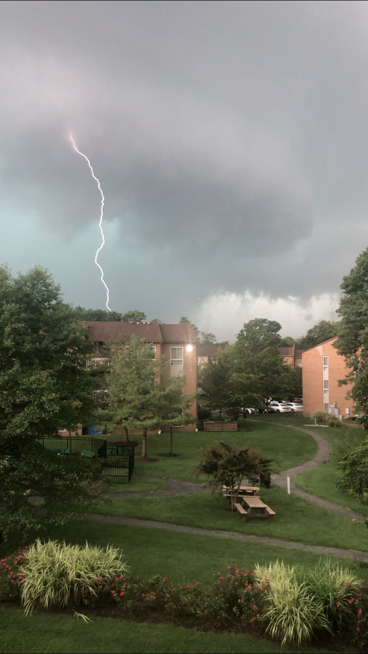
Well this was a storm for the books here in Annapolis. I could clearly see the edge of the shelf cloud and rotation right in front of me. Some pretty extensive damage in Edgewater, which is a few minutes south of me. Full videos (2 parts) attached in this tweet
-
Last night’s flood event in Wilmington was statistically a once-every-1000-year flooding event. Insane. Scroll up in the thread for full video of the flooding. Can anyone recall what the stats were for rainfall intensity during the Elliott City floods?
-
Last night was officially considered a once-every-1000 year flooding event in Wilmington.
-
For reference, going back to 1950, average rainfall for the month of August in Wilmington is 3.79”. So if this is accurate, we just saw over a month’s worth of rainfall in 30 minutes. Incredible.
-
I don’t live in Wilmington anymore, but in 20 years of living in the area, I have never seen flooding this bad in my backyard. The entire backyard is now submerged. It’s a screenshot from a video, which I tweeted out, so sorry for the grainy quality.

-
I lived in Wilmington for 20 years and this is the worst flooding I’ve ever seen at my old house. Way worse than Irene, Sandy, Isaias, etc. apologies for the grainy pic, it’s a screenshot from a video. Most of the backyard is totally submerged and the basement is flooding. What a week of weather.

-
That storm near the Bay Bridge is no joke, just had some penny-sized hail here in Annapolis. A nice little surprise.
-
2020 Mid-Atlantic Severe Weather - General Thread
Winter Wizard replied to Kmlwx's topic in Mid Atlantic
Ended up getting hit with an initial round of convection here in Annapolis before the main squall line went through. Part one actually had some pea-sized hail along with torrential downpours. Second one also had torrential downpours, but contained stronger winds. No reports of damage here, but friends in Rockville reported several downed trees in their neighborhood. -
This one has I'm sure been overshadowed by more recent storms, but 10 years ago today, this was an all timer for Long Island and the mid-Atlantic and MECS for NYC.

-
DCA: +5.5 and 0.25", good for 2nd warmest and 3rd driest IAD: +4.6 and 0.41", good for 3rd warmest and 2nd driest
-
BWI: 11/7 IAD: 11/7 DCA: 11/25 RIC: 12/2 Tierbreaker: 10.24"
-
Central/Western Medium-Long Range Discussion
Winter Wizard replied to andyhb's topic in Central/Western States
Going to be out storm chasing in the Plains from 5/7 to 5/17. Pattern isn't the most favorable, but should still get a few solid chase days in.