TugHillMatt
-
Posts
10,356 -
Joined
-
Last visited
Content Type
Profiles
Blogs
Forums
American Weather
Media Demo
Store
Gallery
Everything posted by TugHillMatt
-
Upstate/Eastern New York
TugHillMatt replied to BuffaloWeather's topic in Upstate New York/Pennsylvania
Snow starting here as well. Remaining Snow pack...and driveway is an icy, rugged mess. Looks like April. Ready for some volleyball, Buffaloweather? -
Upstate/Eastern New York
TugHillMatt replied to BuffaloWeather's topic in Upstate New York/Pennsylvania
That event map makes my mouth water....this area was socked. Locals have mentioned several events that have dropped 100 to 150 inches in a week during their lifetimes. -
Upstate/Eastern New York
TugHillMatt replied to BuffaloWeather's topic in Upstate New York/Pennsylvania
True. They did excellent with the last one. -
Upstate/Eastern New York
TugHillMatt replied to BuffaloWeather's topic in Upstate New York/Pennsylvania
The "rocking December" many were excited about a week or so ago is quickly looking yawnilicious. -
Upstate/Eastern New York
TugHillMatt replied to BuffaloWeather's topic in Upstate New York/Pennsylvania
Looking forward to hearing reports...especially when you get some SW flow events! -
Upstate/Eastern New York
TugHillMatt replied to BuffaloWeather's topic in Upstate New York/Pennsylvania
Checking out webcams this morning and noticed a few things. The ridge sure does lose snow faster than the Tug! They had several feet fall, and Perrysburg is already down to a couple inches of slush and some grass. The northern Tug seems to lose snow faster than down here in Central/Southern Tug. I know Buffalowx mentioned this when I was looking for a location. My guess is the warm SEly winds downslope from the higher elevation. Still solid several inch snowpack here...other than where rainwater was draining. -
Upstate/Eastern New York
TugHillMatt replied to BuffaloWeather's topic in Upstate New York/Pennsylvania
Love having someone representing Jefferson County. You haven't used your snowblower yet? I didn't realize you guys hadn't gotten much snow yet. -
Upstate/Eastern New York
TugHillMatt replied to BuffaloWeather's topic in Upstate New York/Pennsylvania
Sitting here with the wife and we both jumped at a huge boom of thunder. 39 degrees, 6 inch snow pack, and a thunderstorm...sorry, Buffalo! -
Upstate/Eastern New York
TugHillMatt replied to BuffaloWeather's topic in Upstate New York/Pennsylvania
Yuck...that screams Pacific Jet. -
Upstate/Eastern New York
TugHillMatt replied to BuffaloWeather's topic in Upstate New York/Pennsylvania
Lol... Bummer! Just has not been your year for weather. -
Upstate/Eastern New York
TugHillMatt replied to BuffaloWeather's topic in Upstate New York/Pennsylvania
You guys in Buffalo might get more thunder than you did all summer... -
Upstate/Eastern New York
TugHillMatt replied to BuffaloWeather's topic in Upstate New York/Pennsylvania
Wow! Mid to Upper 30s most of the day here. -
Upstate/Eastern New York
TugHillMatt replied to BuffaloWeather's topic in Upstate New York/Pennsylvania
Pass...too much SW'll flow.. Looks like the long range shows the northeast staying cool with a stubborn trough hanging in. -
Upstate/Eastern New York
TugHillMatt replied to BuffaloWeather's topic in Upstate New York/Pennsylvania
Wow, crazy how different it is across the county. Complete overcast here all day with temp not making it much past 40. -
Upstate/Eastern New York
TugHillMatt replied to BuffaloWeather's topic in Upstate New York/Pennsylvania
Sounds like we are going to get more tomorrow than originally thought. -
Upstate/Eastern New York
TugHillMatt replied to BuffaloWeather's topic in Upstate New York/Pennsylvania
How is everybody's snowpack surviving the thaw? Still a solid snowpack...Probably 6 inches?'...of DENSE snow here. -
Upstate/Eastern New York
TugHillMatt replied to BuffaloWeather's topic in Upstate New York/Pennsylvania
Chill out. Your temperament is all over the place. The only whining is coming from you. Let's enjoy talking weather with each other...Ok? -
Upstate/Eastern New York
TugHillMatt replied to BuffaloWeather's topic in Upstate New York/Pennsylvania
My apologies if I came across as whining. We are allowed to be disappointed and discuss what December is looking like. -
Upstate/Eastern New York
TugHillMatt replied to BuffaloWeather's topic in Upstate New York/Pennsylvania
BUF's forecasts do seem off. I didn't want to say anything, because I am new to their region. Wolfie, 10:1 ratio, that would be about 6 inches for me. Is it normally pretty difficult to get west winds here? -
Upstate/Eastern New York
TugHillMatt replied to BuffaloWeather's topic in Upstate New York/Pennsylvania
Well, BUF's forecast discussion sure was depressing this morning... Our significant west flow lake effect event has now become "not significant", cold pattern break down, above normal temperatures....... -
Upstate/Eastern New York
TugHillMatt replied to BuffaloWeather's topic in Upstate New York/Pennsylvania
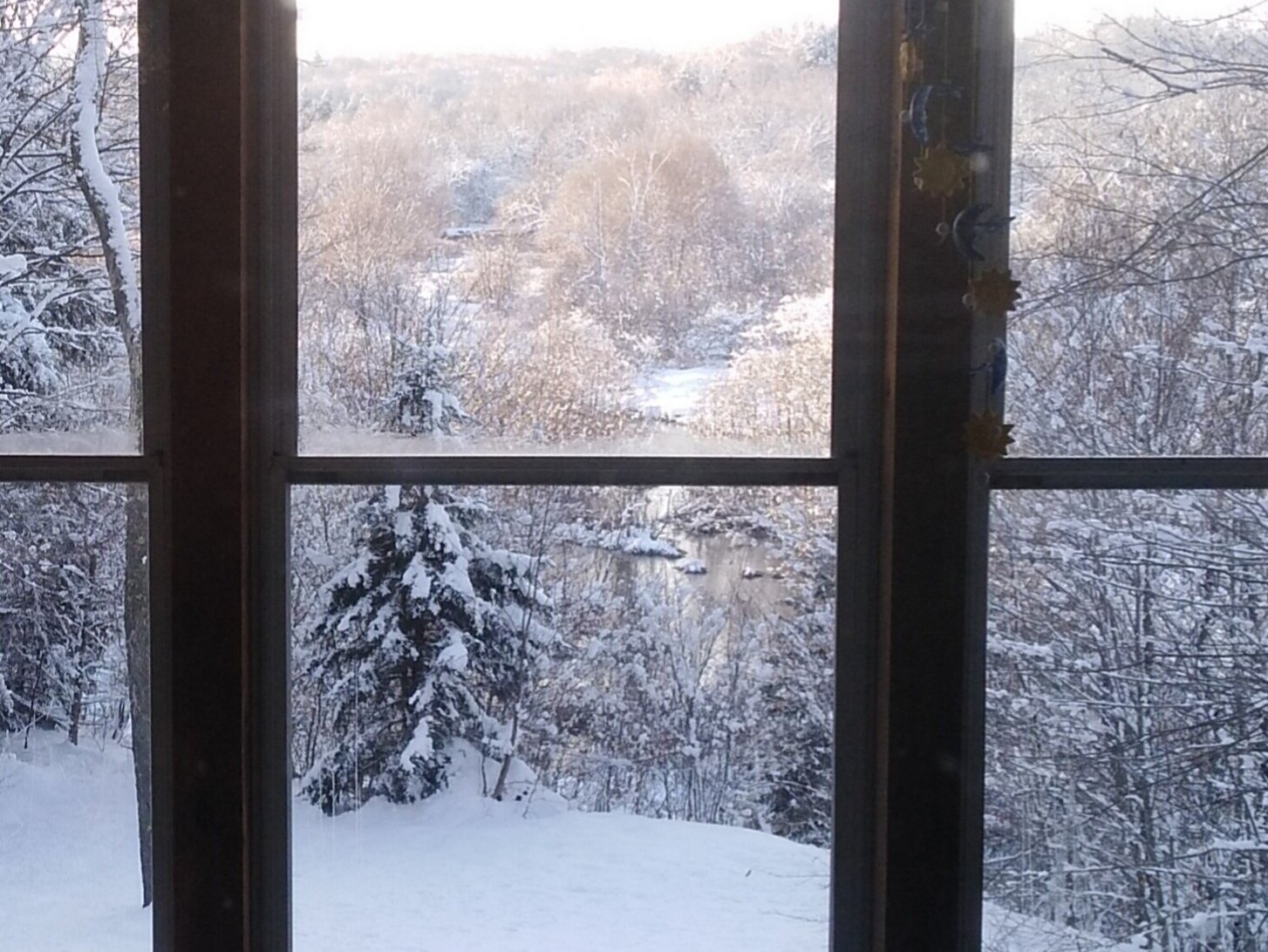
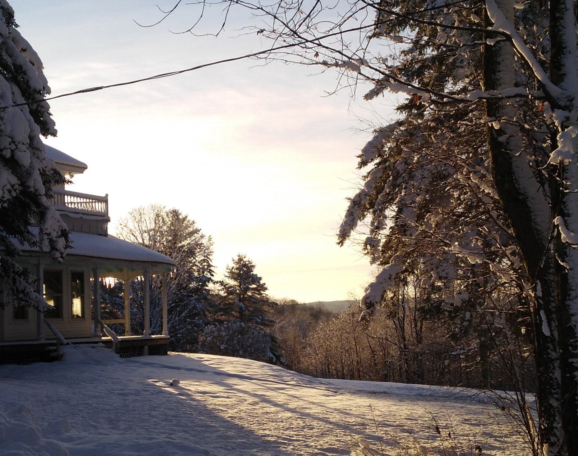
Thanks, Dave. I don't own the home, but it is where I work and serve. I live just down the driveway. This is the view from my back porch.
-
Upstate/Eastern New York
TugHillMatt replied to BuffaloWeather's topic in Upstate New York/Pennsylvania
Thanks! Love the scenery where I live. -
Upstate/Eastern New York
TugHillMatt replied to BuffaloWeather's topic in Upstate New York/Pennsylvania
Sunshine!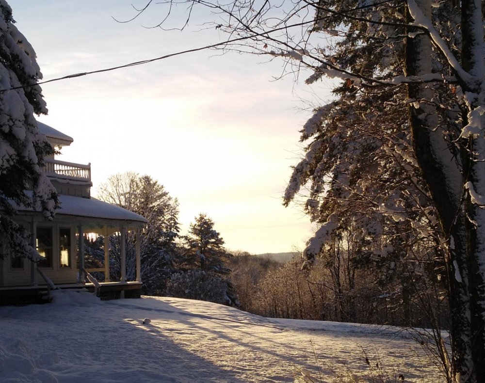
-
Upstate/Eastern New York
TugHillMatt replied to BuffaloWeather's topic in Upstate New York/Pennsylvania
Snow pack does seem to have more endurance up here... -
Upstate/Eastern New York
TugHillMatt replied to BuffaloWeather's topic in Upstate New York/Pennsylvania
No doubt. Your location does better with NW flow...especially with the banding this week.