
HIPPYVALLEY
-
Posts
33,018 -
Joined
-
Last visited
Content Type
Profiles
Blogs
Forums
American Weather
Media Demo
Store
Gallery
Everything posted by HIPPYVALLEY
-

It was a Flop... February 2024 Disco. Thread
HIPPYVALLEY replied to Prismshine Productions's topic in New England
Light coating here earlier but temps suck and the precipitation shield looks like it went through a grater. Flakes and a few pellets. 34F -
It was a Flop... February 2024 Disco. Thread
HIPPYVALLEY replied to Prismshine Productions's topic in New England
Many here would love to get an event like that! -
It was a Flop... February 2024 Disco. Thread
HIPPYVALLEY replied to Prismshine Productions's topic in New England
Cheer up, if we warm that quickly, it will speed up the disruption of the thermohaline circulation cycles. Then you will be on your way to those truly legendary winters of yore for which you long. -
It was a Flop... February 2024 Disco. Thread
HIPPYVALLEY replied to Prismshine Productions's topic in New England
Maybe we can get blocking that lasts from mid March right into May… Wheeee! -
It was a Flop... February 2024 Disco. Thread
HIPPYVALLEY replied to Prismshine Productions's topic in New England
This is heading for a full ratter here relative to normal. I'm sitting at 21" of snow on the season. December and February (so far) being full on disasters. Seeing little to no snow yesterday all the way down I-91 from N VT was depressing. People are out on the ice here, including the coves of the CT River. -
There is hardly any snow-cover from St. Johnsbury all the way down 91 through White River Junction. In mid-February! Brutal.
-
It was a Flop... February 2024 Disco. Thread
HIPPYVALLEY replied to Prismshine Productions's topic in New England
Nice to experience some actual winter. Morning snow squalls and then sunny afternoon. Our view for the weekend: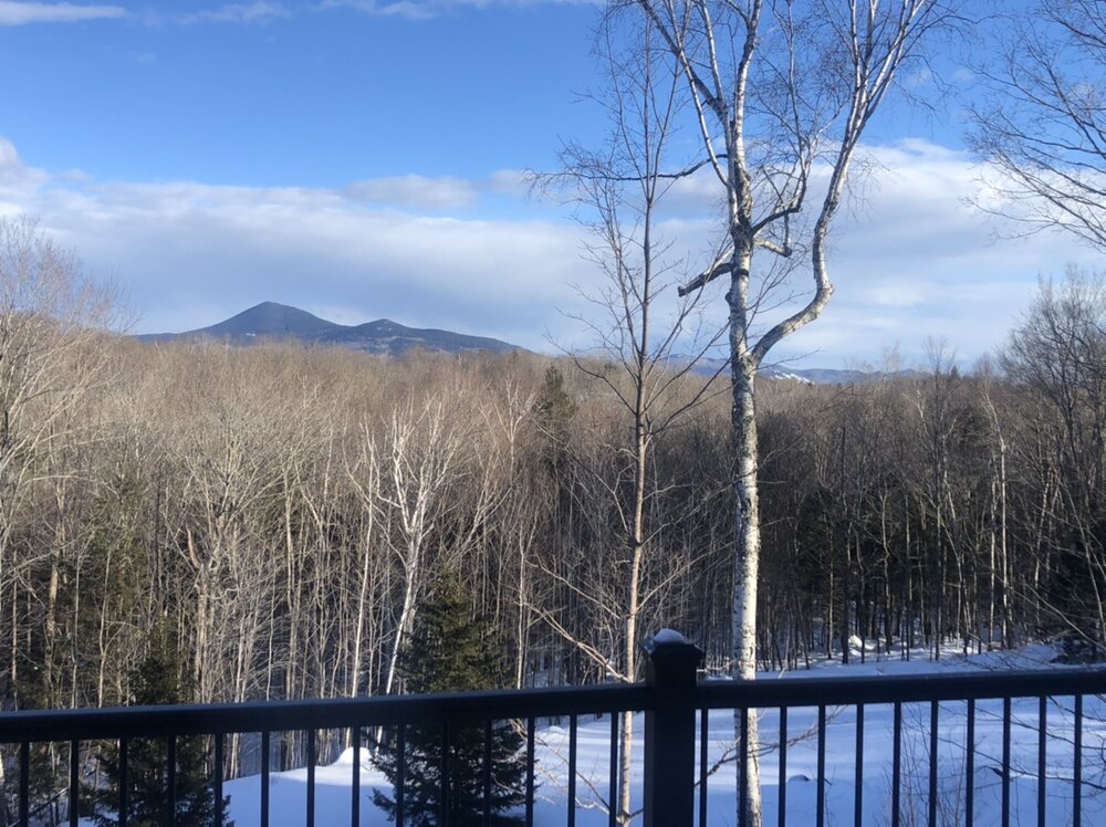
-
It was a Flop... February 2024 Disco. Thread
HIPPYVALLEY replied to Prismshine Productions's topic in New England
Snowing pretty hard in N Conway right now. 33F -
It was a Flop... February 2024 Disco. Thread
HIPPYVALLEY replied to Prismshine Productions's topic in New England
Same, maybe a little more but steady light baking powder still falling here. Dense, I made a pass with the shovel and it wasn’t the fluff I thought it was. -
It was a Flop... February 2024 Disco. Thread
HIPPYVALLEY replied to Prismshine Productions's topic in New England
Have a nice burst of moderate snow here. Probably be done after this band moves through. -
It was a Flop... February 2024 Disco. Thread
HIPPYVALLEY replied to Prismshine Productions's topic in New England
Still steady light snow here with radar looking OK to my West. -
It was a Flop... February 2024 Disco. Thread
HIPPYVALLEY replied to Prismshine Productions's topic in New England
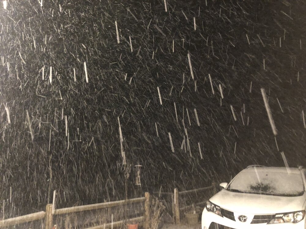
I know. Ironically this might be the heaviest rates I’ve seen all winter right now. -
It was a Flop... February 2024 Disco. Thread
HIPPYVALLEY replied to Prismshine Productions's topic in New England
-
It was a Flop... February 2024 Disco. Thread
HIPPYVALLEY replied to Prismshine Productions's topic in New England
Flipping between arctic fog and big dendrites visibility dropping quickly. 30F SN/+SN too bad it’s short-lived. -
It was a Flop... February 2024 Disco. Thread
HIPPYVALLEY replied to Prismshine Productions's topic in New England
Same but it’s wind shattered dendrites of arctic sand with bigger flakes occasionally mixing in. Should improve with the heavier echoes just to my West. -
It was a Flop... February 2024 Disco. Thread
HIPPYVALLEY replied to Prismshine Productions's topic in New England
Saturday, tonight is coming from a different direction. You might be in the game for Saturday if it keeps trending. -
It was a Flop... February 2024 Disco. Thread
HIPPYVALLEY replied to Prismshine Productions's topic in New England
Tonight looks like 1”-2” max S of the VT/NH border. Maybe I’ll break out the leaf blower to clear the driveway in the morning. -
It was a Flop... February 2024 Disco. Thread
HIPPYVALLEY replied to Prismshine Productions's topic in New England
Hudson and upper CT River Valleys are just completely devoid of snow including the surrounding high terrain. Brutal but looks good elsewhere. You can see that most of Connecticut has more snow cover than the Berkshires. The Berkshires have had a terrible winter this year. -
It was a Flop... February 2024 Disco. Thread
HIPPYVALLEY replied to Prismshine Productions's topic in New England
There will be a period of chances in the first half of March. -
It was a Flop... February 2024 Disco. Thread
HIPPYVALLEY replied to Prismshine Productions's topic in New England
It's pretty much a lock here. -
It was a Flop... February 2024 Disco. Thread
HIPPYVALLEY replied to Prismshine Productions's topic in New England
That’s great, we are heading to North Conway Friday. -
It was a Flop... February 2024 Disco. Thread
HIPPYVALLEY replied to Prismshine Productions's topic in New England
Brutal. -
Northampton is only 40 miles from Hartford so that’s a pretty amazing gradient to go from 14 inches of snow to zero.
-
Man, I wish I could’ve taken the day and gone to the Cape. There’s nothing quite like seeing snow on the beaches.
-
And I’m happy that you’re happy!