Typhoon Tip
-
Posts
44,235 -
Joined
-
Last visited
Content Type
Profiles
Blogs
Forums
American Weather
Media Demo
Store
Gallery
Everything posted by Typhoon Tip
-
I’m thinking that the GEF’s machine is trying to see a negative EPO frankly
-
lol, yup When I was younger I used to hate that… Because it always started happening just when the snow pack was going to really get crazy-we’ve never really had a snow pack really get crazy. 2015 was the closest we ever got to that psycho realm … but the storm train shut off. The last week of February into that March stay very cold with deeply negative daytime highs in the 20s if not high teens, deep into March but there was no storms. It all just shut off as though the hemisphere just ran out of short waves. I always felt that if we had kept up the storm train we could’ve actually made that something special that year something like a 6 foot on the level pack. Ye 1700s style i’ve never been a snow depth guy. Mainly just cause it’s too frequently challenged. But once in a while will get the resting snow pack like between storms around 30 … 32 inches and I start to wonder. It always seems to choose that rough depth to fade back or stop. Talking about where I’ve been in that 300 to 500 foot elevation range. I’m sure it’s different for people of above 700
-
Yeeeeah it does but, transitions like that don’t happen on a dime. It’ll start being noticeably more twilight at 5:30 and slightly warmer sun to the skin and all that shit probably in the last week of January etc. I mean slight first. Just using that as a vague sort of metric. Folks shouldn’t be offended by that though - just in case - because most of the damage in 2015 (for ex) happened after the solar min ended that month. Really doesn’t mean jack shit until probably the ides of March. The snow retention may be affected because sun shining will start to shard the snow back … detail that only an excruciating nerd would know lol
-
You know it’s model runs like that GFS… Does NCEP really parameterize the models to deliberately stop storms from forming Heh. Just reading the onion during lunch… In the spirit of their headlines, “NCEP cites ability to stop storm genesis in forecast models a ringing success”
-
Tough before the solar min ends but yeah… good warm-up recognition for that sort of thing as we head into the nape time of year in about 3 weeks. Same look’ll pop 62 and likely blow MOS/machine numbers first week of Feb. Be interesting to see.
-
Oh …all that, sure I was just amusing over the surgical precision that model made in abasing the -EPO comments I made earlier in the day… haha. yeah I mean it’s a pattern change so there’s gonna be weird variations on it most likely until it gets closer and all that jazz. It was just funny. Like whatever the great model engineer in the sky, must’ve been listening went oh yeah fuck you. I swear did actually occur to me yesterday that even though it was predominantly a positive PNA emergent so I was wondering if it might try to retrograde into that look.
-
Madcap hilarity ... man I don't know if any actually paid attention to content in posts today, but... this morning I ventured that the pattern change wouldn't likely be preceded by a -EPO burst, where by a nervy audience would suffer seeing the trough carve west... HA! Seemingly on purpose, what summarily comes from the GFS? THIS

-
And I would also further that that is not uncommon result in modern more recent climate mode all over the planet. A lot of places are making seasonal quota in short duration from what are called “rain bomb” phenomenon (which “rain“ in this context means any precipitating event). Fwiw, attribution flags they’re related to elevated ambient pwat around or injecting into any kind of rain mechanisms. I posted a don’t give up post over in the NYC Metro sub forum yesterday and I had a lot of this in mind. Setting up two or three week favorable regimes it’s probably something like three or four opportunities to observe precipitation anomalies that make up deficits
-
Like this particular post. For winter enthusiasm, there need be a changing of the guard, first, in order to “set the table” — entering a regime that has better chances to placate what it is you’re after. This post above recognizes the table as being set, without committing one way or the other. But that’s all that is required for now. Those who feel seasonally lovelorn… You’re at least getting word that girl or guy of your dreams has been talking about you. That may precede an actual phone call lol
-
The pattern changing and the potential to succeed is all very real, guys. I realize there’s sarcasm and low patience - related blow back but … whether the new paradigm actually rolls eyes back in a d-drip winter event in the models or not, bears no relevancy to whether that happens. Having said that … regime changes can be led and/or exit with events. It seems there is prelim attempt to do so … but it could also be rain/west tracked ordeal just the same
-
And it seems like these sort of wholesale change scenarios are less often timed in guidance altogether accurately. It will either come in more abruptly, or stage
-
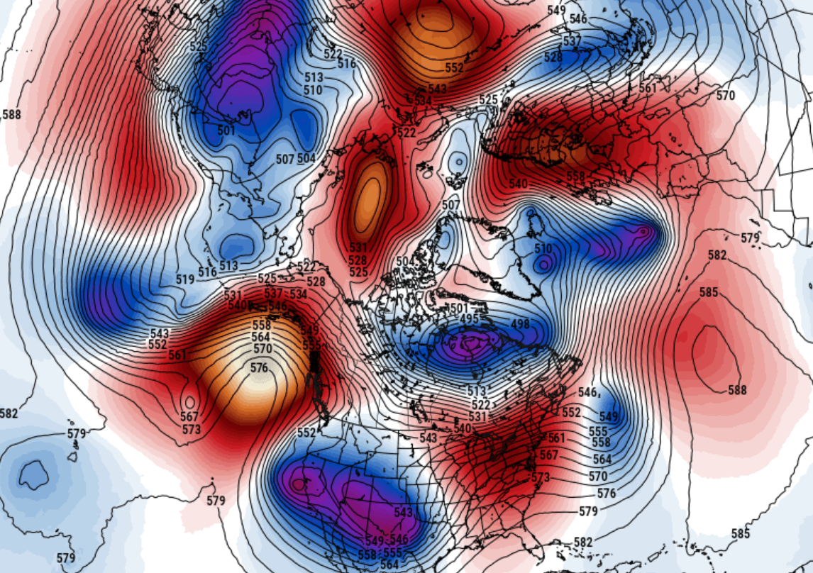
ok, so looking over the ensembles, cross -guidance, there is some sort of event or risk around the 19th/20th - mind you, D8/9 is extended range, but not exactly over the horizon given the day and age. It is of the open wave/progressive handling. It is also a sub-index driven event, which is interesting, because the pattern from Japan around the globe begins to rapidly modulate toward a +PNA and/or a pattern that would burgeon western heights - so + "PNAP" either way. By just short days later, we see that really taking over the ensemble means. The atmosphere is tentatively marginal+1 ..so likely rain.. And there is still western biased solution potential. Nevertheless, there have been run cycles offering more cold high pressure over QUE, so a colder profile scenario and track suppression is an option on the table Re pattern change: Again...it is not merely ensemble suggestive but is also derivative by other means related to shorter and longer term air and/or sea telecon. There's suggestion of their source regions coming into constructive interference - of course predicated on a some stability, which is unfortunately in question. We'll have to see. But I get the personal sense that it is real. Probably a -AO (modestly)/+PNA with a negotiable NAO ... So far the EPO does not appear to lead this transition with the canonical negative burst, which may be a good thing for the nerve-spooked winter enthusiasts ... Not having to suffer seeing week of the continent imploding through the Rockies first in the guidance would be nice for a change ...
-
When was the 10th idea floated ? This period has frankly looked like shit to me the whole way… The idea for circa 20th has been suggestive in the ensembles, but only recently has that been derivative from a broader inclusion of both technique and observation.
-
It's a little fast... broad scale systemic changes are likely in the circulation mode ...pretty much all over the atmosphere, but the timing is really 20th+ ... It is not clear if that above is part of that. There is going to be more confluence evolving in Canada as part of the new regime, ..woulda thunk more 25-ish. That 1040 high has some deep 2-meter temperatures associated with it. Haven't seen a lot of that this year. Bit of a first... If future guidance start flagging these polar highs, the notion isn't lost.
-
Oh ... speaking of Will's 2015 homage to flat snow pigs...
-
It seems you folks are setting the bar rather low. Personally ..I'm not worried for the NYC s-forum, not on Jan 10 - not from what I'm looking at. Will revisit Feb 10... Observed pressure and wind patterns in the deep layer troposphere signal an ENSO break-down may be underway. The recent attempt by multi-guidance source on MJO propagation through ( albeit low amplitude) phase 8-1-2 is already in a constructive interference with a firehose Pacific anachronistic NINO flow. A planetary wave reshuffle toward a NE Pac AB circulation mode is not altogether a terrible fit for a longer resolution, as longitudinal flow tends to precede the materialization of ridging. That's the pattern modulation... where's the goods? Agreed, but we set the table first. Noting some recent GFS cycles did take a primitive stab at an index scaled event ...way out toward 270 - little or no actual deterministic value at the this time. Give it a week. It only takes one event in/when the global pwat budget is what it is. You could bang out a foot in 6 -9 hours from clipper/NJ model low and still see the sun sun set.
-
Very active Solar/space weather implications ongoing ... Nothing imminent, ...however, X1.9 class flare exploded from AR3181 yesterday (9th), and though no CME expulsion took place ( as well, it is escaping the eastern limb) there are two that have arrived over the western limb recently. '82 and '84 both both are Earth aiming over the next day(s). Both contain unstable delta fields capable ( also ) of X class flares.
-
Succinctly stated lol
-
interesting .. I've been waiting, and there it is - the 12z GFS is clearly offering a first primitive attempt at the concomitant index scaled event ... With limited/no deterministic value at this range. Probably a week,.. .maybe a click or two less? we may see a system to consider.
-
I wasn't being sarcastic. However, there's questions as to whether the changes would necessarily play nice for winter enthusiasts (20th and thereafter). In short, +PNA likely to return. But if the +PNA is only moderately amplified and/or sets into the hemisphere through a warm (relative to season) Canada and a pinched off high Arctic. Longer ... Not just relying upon the ensemble means of the EPS/GEFs way out there from D10 onward, either. The changes are in the systemic machinery at planetary scales ... We are all aware the recent MJO monitoring and forecasting has a phase 8-1-2 presentation/migration. Something is in constructive interference - or modeled to be so - in order for that to take place, given to the erstwhile La Nina. CPC's weekly publication released yesterday, corroborates that idea "• Some changes in the observed wind patterns in both the lower and upper atmosphere portend a potential weakening of the long-lived La Nina." The MJO is not driving the pattern ...but the models predicting its current behavior, combined with these observations in real time, suggests/implicates a paradigm shift. The La Nina isn't going away on a dime..no. But, the pressure and wind patterns tend to lead the SST distribution, so the decoupling we've been seeing over the last ..since the week of Christmas, really, may signal the beginning of the end. That's quite plausibly beginning to take place. The constructive interference already beginning ...lends to the +PNA. The ensemble means all suggest this ... pretty coherently picking a date, too. Right around the 20th. In fact, the D9/10 of the operational models are in primitive detection as of last night..
-
Big changes coming …
-
There are actually people getting degrees in lawn and turf. Boggles the mind -
-
I suspect the “fraudulent” cred may in part be because they’ve probably been overused and abused. The first sniff out in guidance from four or five days out may not even be interpreted correctly. I’ve seen this before, in general. People incorrectly apply concepts of meteorology to what they’re seeing and saying. They reach for IVT this and ANA that … it becomes the meme of the week … ultimately fails and then everybody has a bad impression for the journey. I mean there’s some of that too. Fact the matter is all those aspects have produced.
-
Also… There seems to be a failure to understand that there’s a distinction between storm frequency and what’s actually falling from the sky. 10 storms in 1930 vs 10 storms in 2020: the 10 storms in 2020 precipitating more. there’s nothing else. it’s that simple. and it’s because a warmer atmosphere in which the 10 storms occur in 2020 are formulating in more available water; more available to condensation processes in the atmosphere resulting in heavier rain.
-
Actually I doubt a phase diagram of that Vortx out there would demonstrate it’s got very many tropical characteristics now that look at the evolution. That looks like a typical pinch off low to me