wx2fish
-
Posts
2,631 -
Joined
-
Last visited
Content Type
Profiles
Blogs
Forums
American Weather
Media Demo
Store
Gallery
Everything posted by wx2fish
-
Both would rip up to your area verbatim, but I'd probably shave back that qpf output some.
-
NAM pretty much hammers everyone. Both 12k and 3k went absolutely wild for SNH
-
Active mid December with multiple event potential
wx2fish replied to Typhoon Tip's topic in New England
Great looking NAM run for SNH. A few miles south from 12z with the ML banding. -
Active mid December with multiple event potential
wx2fish replied to Typhoon Tip's topic in New England
A better look with a more intact WCB, and better band placement around here. Would help avoid major subby issues. -
Active mid December with multiple event potential
wx2fish replied to Typhoon Tip's topic in New England
As far as I know that graf output uses a model derived snow ratio. It may go a little wild in some of the banding -
Active mid December with multiple event potential
wx2fish replied to Typhoon Tip's topic in New England
I don't think 8-12 is unreasonable around here. Maybe someone unlucky gets under 8, but I don't it'll be a big area -
Active mid December with multiple event potential
wx2fish replied to Typhoon Tip's topic in New England
Pretty relentless signal across the board. My guess is some of the meso's are a little wild with it, but the signal is undeniable. -
December 5-6, 2020 Storm Observations and Nowcast
wx2fish replied to Baroclinic Zone's topic in New England
Have to see what happens over the next couple hours, but the 18z nam dumps another 1"+ qpf over SE NH after 21z ...well see -
December 5-6, 2020 Storm Observations and Nowcast
wx2fish replied to Baroclinic Zone's topic in New England
Mostly snow. 34F -
December 5-6, 2020 Storm Observations and Nowcast
wx2fish replied to Baroclinic Zone's topic in New England
Periods of cat paws mixing in. Temp steadily tickling down. 37F -
Dec 5/6th major coastal/ west Atlantic cyclogenesis ...?
wx2fish replied to Typhoon Tip's topic in New England
Looks way different than the one they posted to social media an hour or 2 ago. Timestamp is like 4am too, weird. -
Pretty ugly CAD on the nam Wed/Thurs north of the pike. 3km looks slick wed PM for the central NH/ME CAD crew
-
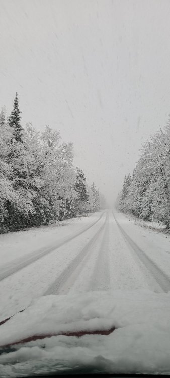
2.8", still pretty steady light snow
-
1.8" with steady snow continuing. Impressive temp drop since sunrise, down to 29.5F.
-
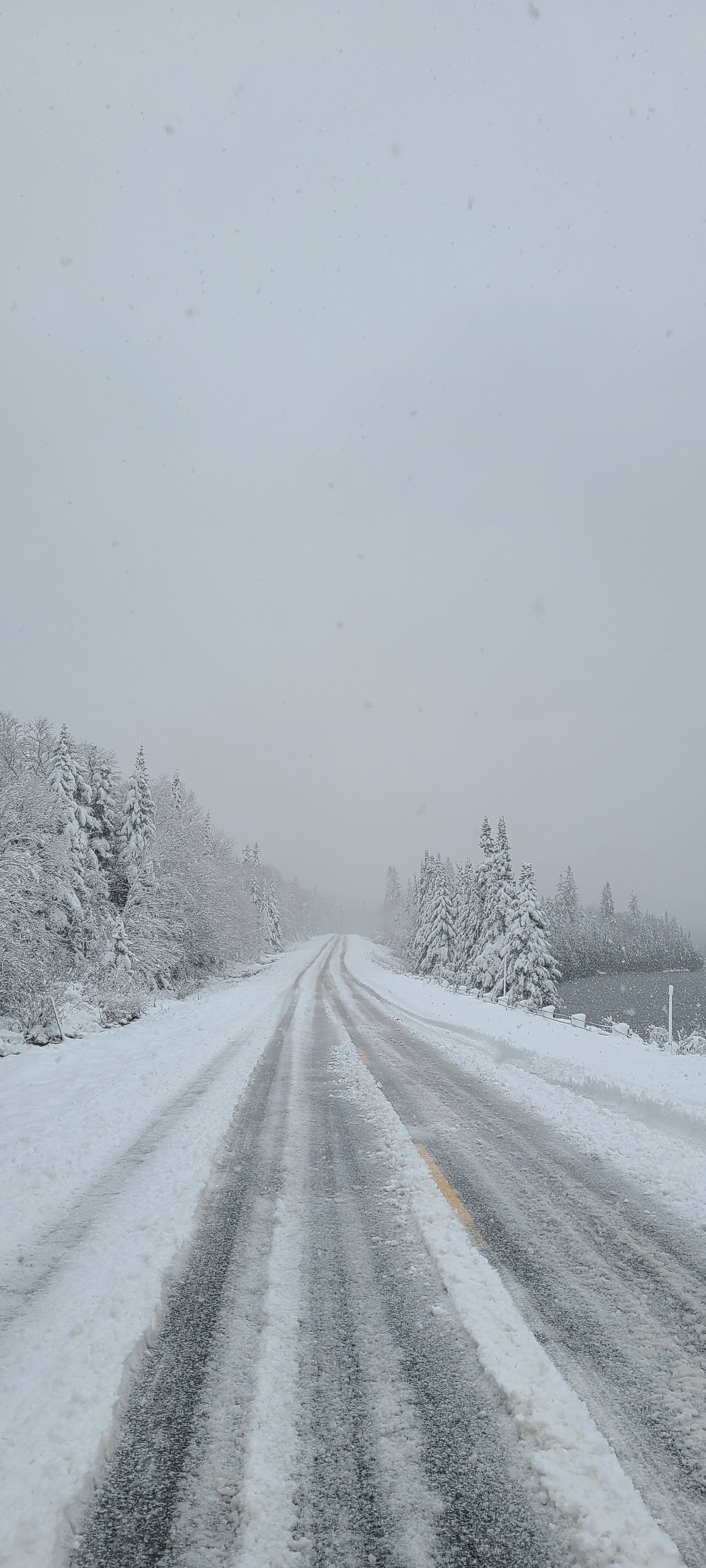
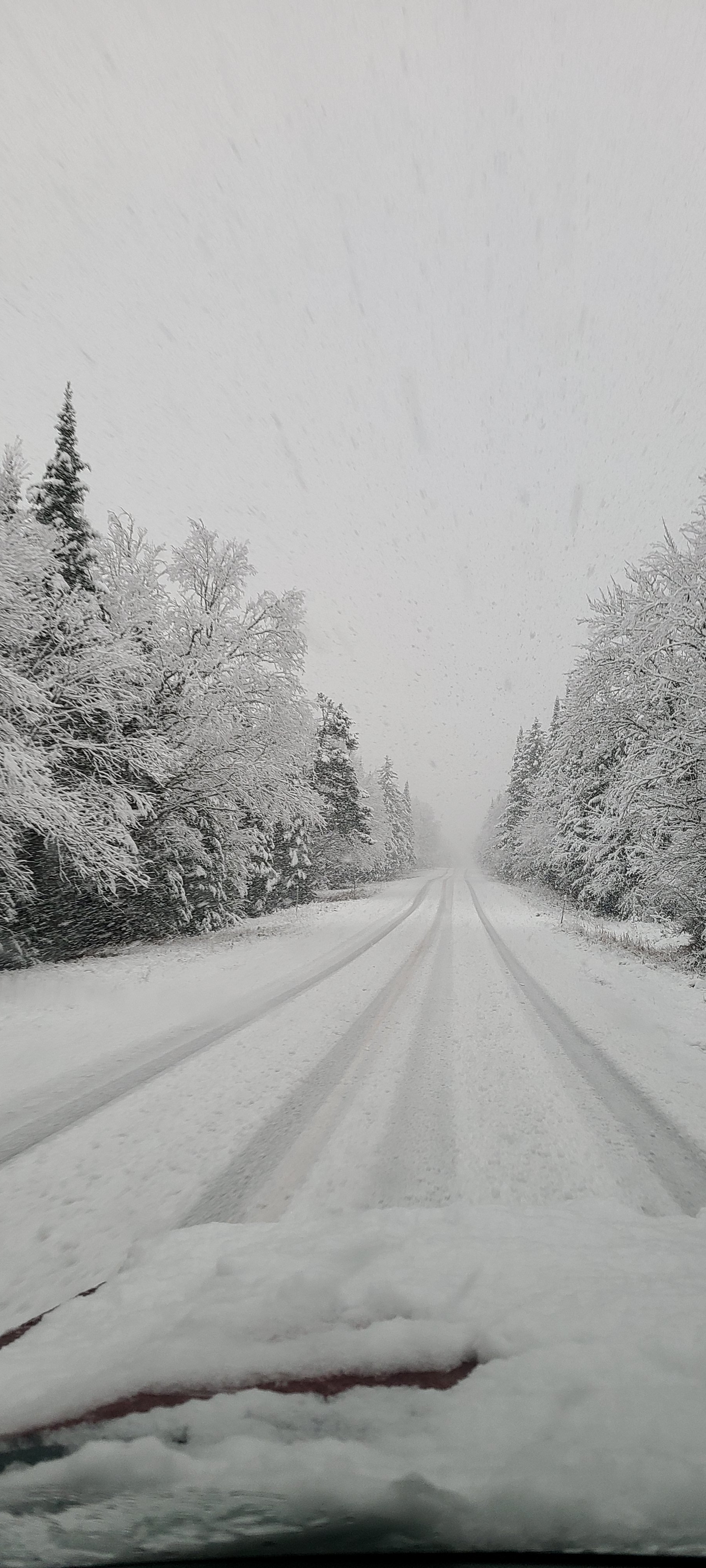
I left Pittsburg this morning and the snow was crusted over after softening up yesterday. Wouldve been a great base builder in a month, had some meat to it. Snowpack got thin between Stratford and Lancaster, then picked up again south of Lancaster to the notch. Quickly dropped to nothing along 93 on the southside of the notch.
-
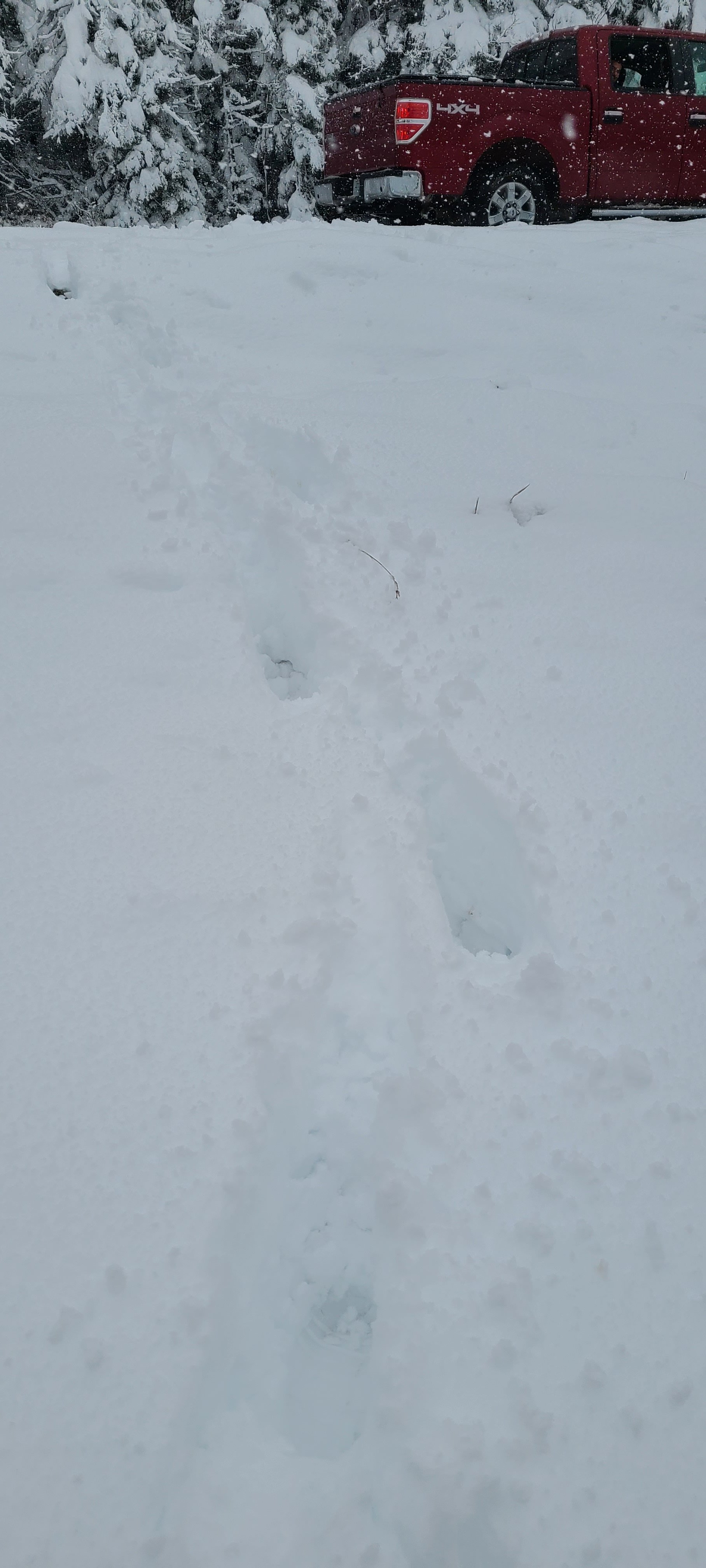
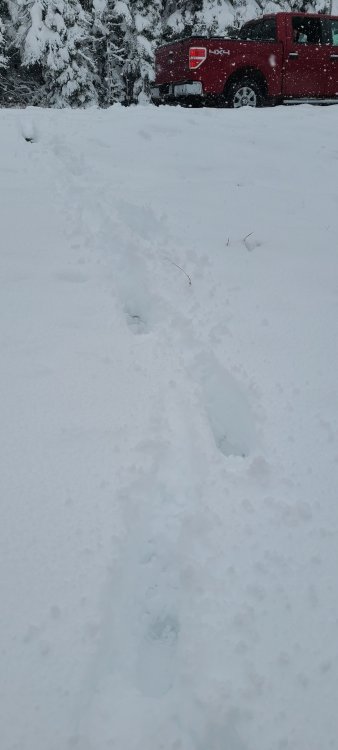
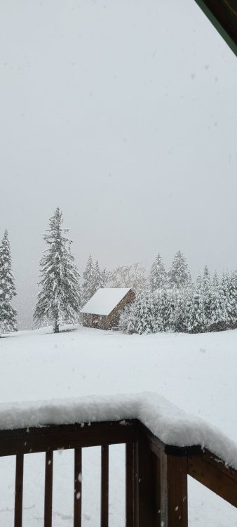
End with about 5" right on the First CT Lake. Took a ride up to 3rd CT lake and theres 10"+ above 2200'
-
About 4" at the First CT Lake. Still mod, heavy at times
-
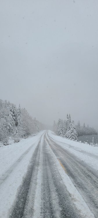
Pushing an inch and coming down pretty good.
-
Up in pittsburg, flipped to snow at the cabin at 1700' . 33F
-
Heading up to Pittsburg this week with the dog. Hearing theres a ton of birds up there this year
-
One of my favorite stretches here. A damaging 15" event immediately followed by close to 2' of pure fluff. That second storm was the highest ratio large event I've seen.
-
Massabesic, ASH and Hampstead coops are all 24-26". Hudson is 29". Airport seems low, but its still well below normal elsewhere
-
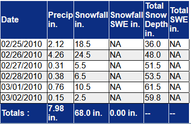
This is from an old Randolph site, 68" on 8" of qpf, mostly over 5 days
-
The combo of upslope and synoptic will make Randolph tough to beat
-
Bass fishing has been good the past couple weeks. Post spawn, but still alot of fish fairly shallow. Ive managed to boat a couple largemouth over 5lb, biggest was right at 6lb