wx2fish
-
Posts
2,631 -
Joined
-
Last visited
Content Type
Profiles
Blogs
Forums
American Weather
Media Demo
Store
Gallery
Everything posted by wx2fish
-
Couple nice ones. The stretch of the Nashua River behind stellos has surprisingly good fishing too. I've caught a couple in the 5-6lb range in there.
-
The lake by my house is small, only about 350 acres, max depth about 60ft. Temp is only mid 50s, but still a few smallmouth moving up. Simlar to what youve seen at the Quabbin, the bigger lakes Ive fished up in the lakes region winni,newfound, ext seem to average late may through June for the smallmouth spawn
-
The bass spawn is definetely behind schedule locally. There were a few smallies on beds today at my local lake, but it's just starting. I've seen them on beds there in late April during warmer springs. I also saw plenty of largemouth cruising up shallow after a couple warmer days.
-
May 8-9 mid-spring rain, snow, cold, wind obs
wx2fish replied to CT Valley Snowman's topic in New England
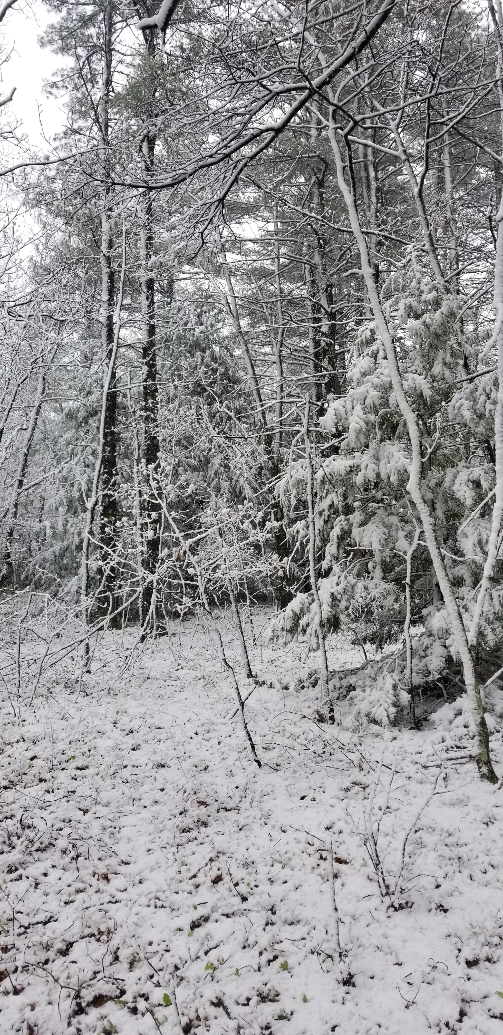
Big differences in small elevation changes around here. Here's a pic from near Warner Hill in Derry.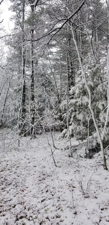
-
May 8-9 mid-spring rain, snow, cold, wind obs
wx2fish replied to CT Valley Snowman's topic in New England
Pounding, decent coating above about 300' -
May 8-9 mid-spring rain, snow, cold, wind obs
wx2fish replied to CT Valley Snowman's topic in New England
Ripping, starting to stick to the grass -
May 8-9 mid-spring rain, snow, cold, wind obs
wx2fish replied to CT Valley Snowman's topic in New England
Steady light snow -
That's awesome. What did that thing weigh?
-
Yeah I love fishing them, but especially the bigger events can be brutally long days. I've been fishing mainly team tournaments the past few couple years
-
Havent taken out the boat yet, but getting the itch. I fish a few bass tournaments, but theyve all been canceled through May which is a bummer.
-
March 12/13/14 Blizzard/Winter Storm/WWA etc
wx2fish replied to Bostonseminole's topic in New England
Closest 2 COOPs to me pulled 17-18:1 ratios...Hudson NH pulled 26.3" on 1.43 LEQ / W Hampstead NH 26.2" on 1.57 LEQ -
March 12/13/14 Blizzard/Winter Storm/WWA etc
wx2fish replied to Bostonseminole's topic in New England
KASH has to be close to 2', though a Coworker in Milford had 10" at 9pm last night just outside that band -
March 12/13/14 Blizzard/Winter Storm/WWA etc
wx2fish replied to Bostonseminole's topic in New England
Another 3.5" since I shoveled last night. 25.5" total with some light snow when I left for work. -
March 12/13/14 Blizzard/Winter Storm/WWA etc
wx2fish replied to Bostonseminole's topic in New England
Yeah they may have gotten the meat of the band a little longer. If I measured incrementally I probably would be an inch or 2 higher -
March 12/13/14 Blizzard/Winter Storm/WWA etc
wx2fish replied to Bostonseminole's topic in New England
23.5". Total depth is 27-32" in the shaded part of the yard but its already settling some. Hopefully pull off enough overnight to call it a 2'er when I get up for work. -
March 12/13/14 Blizzard/Winter Storm/WWA etc
wx2fish replied to Bostonseminole's topic in New England
21.8". This is insane. So fluffy I'm sure it's compacted some too. Just hours of 3"+/hr -
March 12/13/14 Blizzard/Winter Storm/WWA etc
wx2fish replied to Bostonseminole's topic in New England
Just walked out to the Davis. Close to 2' otg. This is even like upslope fluff too -
March 12/13/14 Blizzard/Winter Storm/WWA etc
wx2fish replied to Bostonseminole's topic in New England
18.5". Absolutely nuking in this band -
March 12/13/14 Blizzard/Winter Storm/WWA etc
wx2fish replied to Bostonseminole's topic in New England
12.5" still pounding -
March 12/13/14 Blizzard/Winter Storm/WWA etc
wx2fish replied to Bostonseminole's topic in New England
10". 3" past hour -
March 12/13/14 Blizzard/Winter Storm/WWA etc
wx2fish replied to Bostonseminole's topic in New England
7". ~2" last hour. Heaviest if the day right now -
March 12/13/14 Blizzard/Winter Storm/WWA etc
wx2fish replied to Bostonseminole's topic in New England
5.5" +SN 27.5F. Pretty fluffy -
March 12/13/14 Blizzard/Winter Storm/WWA etc
wx2fish replied to Bostonseminole's topic in New England
3.8" 28F. Probably the heaviest of the day now. Under 1/2sm. Looks like a good band working in