mitchnick
-
Posts
28,569 -
Joined
Content Type
Profiles
Blogs
Forums
American Weather
Media Demo
Store
Gallery
Everything posted by mitchnick
-
The Jan 31 Potential: Stormtracker Failure or 'Tracker Trouncing
mitchnick replied to stormtracker's topic in Mid Atlantic
Here comes the northern stream energy to kick it east. -
The Jan 31 Potential: Stormtracker Failure or 'Tracker Trouncing
mitchnick replied to stormtracker's topic in Mid Atlantic
That's snow depth measuring what's already on the ground that isn't melting. -
The Jan 31 Potential: Stormtracker Failure or 'Tracker Trouncing
mitchnick replied to stormtracker's topic in Mid Atlantic
Just like the Gem, it's got the northern stream system coming out of the Dakotas. Gfs has essentially nothing of consequences on the map. -
The Jan 31 Potential: Stormtracker Failure or 'Tracker Trouncing
mitchnick replied to stormtracker's topic in Mid Atlantic
Could see it coming. That kicker in the upper Midwest came flying south out of Canada.
-
The Jan 31 Potential: Stormtracker Failure or 'Tracker Trouncing
mitchnick replied to stormtracker's topic in Mid Atlantic
Watch out for that kicker on the Gem. -
The Jan 31 Potential: Stormtracker Failure or 'Tracker Trouncing
mitchnick replied to stormtracker's topic in Mid Atlantic
Not quite as good 0z. -
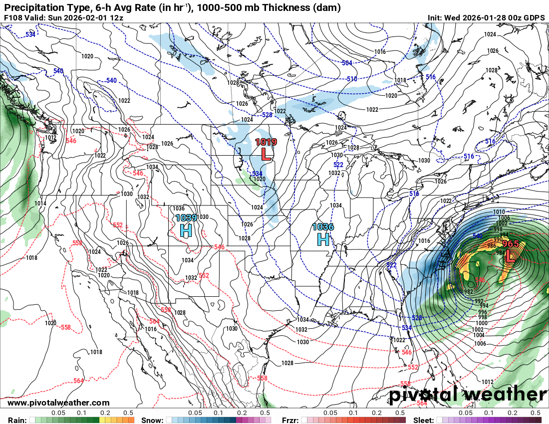
Surface looks "busy." https://meteocentre.com/numerical-weather-prediction/map-explorer.php?lang=en&map=na&run=18&mod=cmc_gdps&stn=PNMPR&comp=1&run2=18&mod2=cmc_gdps&stn2=PNMPR&hh2=000&fixhh=1&stn2_type=prog&mode=latest&yyyy=latest&mm=latest&dd=latest&hh=084
-
18Z GGEM https://meteocentre.com/numerical-weather-prediction/map-explorer.php?lang=en&map=na&run=18&mod=cmc_gdps&stn=PNM&comp=1&run2=18&mod2=cmc_gdps&stn2=PNM&hh2=000&fixhh=1&stn2_type=prog&mode=latest&yyyy=latest&mm=latest&dd=latest&hh=084
-
Actually, cut snowfall in half from 12z for mby, BWI, DCA and even SBY.
-
-
Height lines are not as far north at 72hrs and trough up north and little east of 12z
-
Maybe, but the surface map looks like the Gfs and unlike other medium range models. Just sayin'.
-
Posted that 2 hours ago. He's a copy cat! Lol
-
Appears to be a kicker coming down near the Dakotas and the Gfs has it further north into Canada, the Gem further south, and the Ukie the furthest south. It's killing the ridge orientation.
-
Ukie on the road to a total miss unless that trough has a miracle.
-
You could see it coming instead height lines all backing up.
-
Closer
-
-
Look at those height lines rising and everything backingvup
-
84hrs vs last runs
-
Icon definitely further west with the western lobe of the northern trough at 72 vs 6z run fwiw.
-
Eps updated....meh
-
Pivotal has stopped at 57 hrs on the 6z Euro. Any other vendors stuck?
-
There may be a few twists and turns left, but we are getting to a point of near consensus in general terms to think it's slipping/slipped away.
-