bkviking
-
Posts
744 -
Joined
-
Last visited
Content Type
Profiles
Blogs
Forums
American Weather
Media Demo
Store
Gallery
Everything posted by bkviking
-
Since Heatwave began my spot In Smithtown 7/23: 97 7/22: 94 7/21: 89 (Severe storm) 7/20: 97 7/19: 93
-
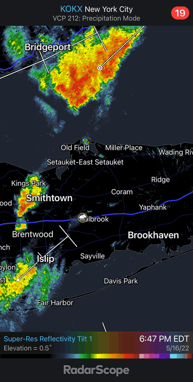
My weatherflow in Smithtown recorded .78” of rain with that cell that came across north shore. My station is near PSV88 so curious if he’s similar
-
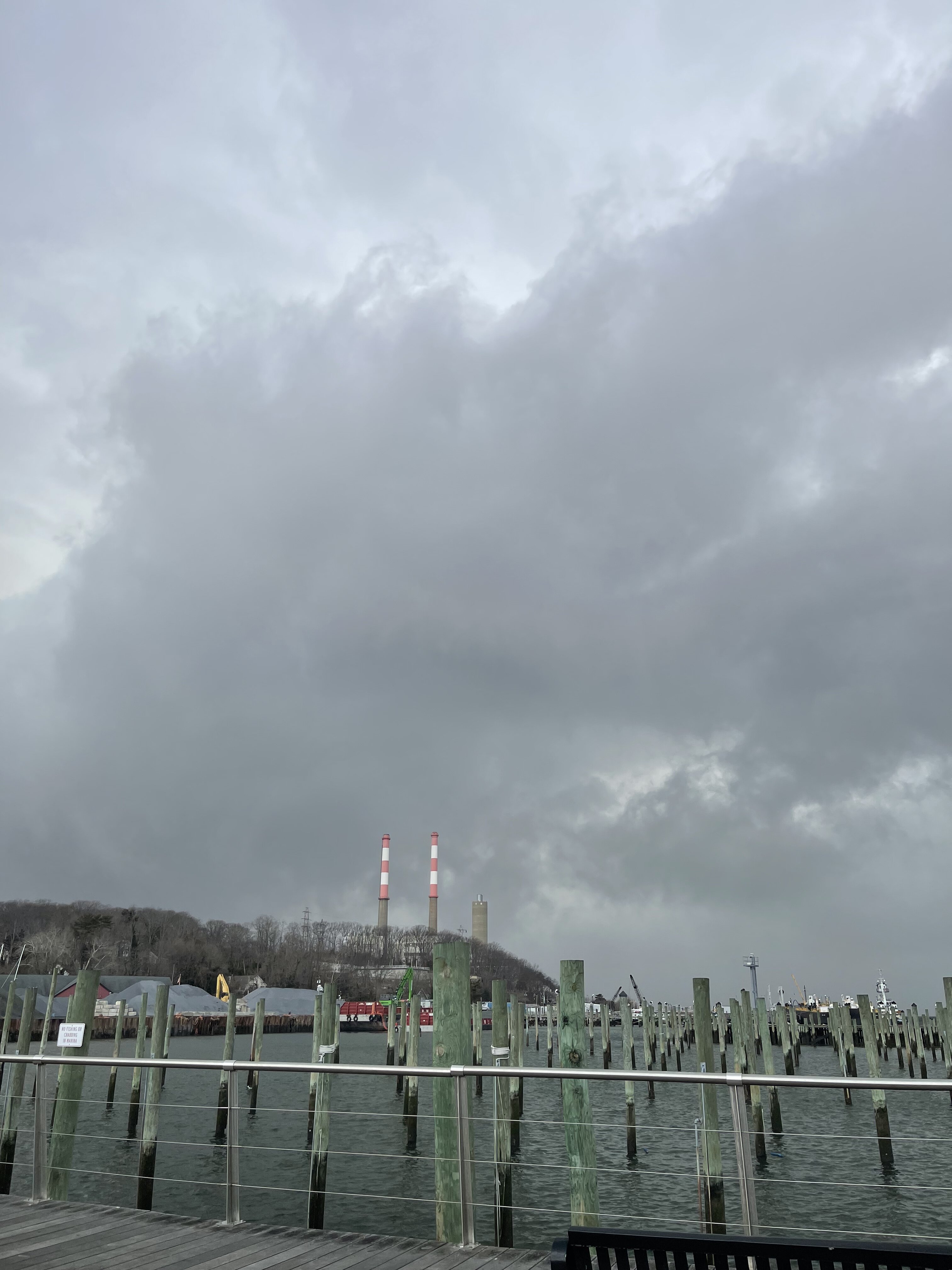
I can second PSV on the monsoon here on north shore - storm now over Port Jefferson dumping nicely .
-
Is today the block party ? Storm on north shore is moving kinda slow.
-
I’m in Port Jefferson by Ferry and it’s dark all points south of me and RadarScope shows training storms. Not getting hit here yet.
-
DCA: +1.3 NYC: +1.0 BOS: +.9 ORD: +2.6 ATL: +2.6 IAH: +2.4 DEN: +2.5 PHX: +2.0 SEA: +0.8
-
DCA: +1.2 100 NYC: +1.0 99 BOS: +1.1 97 ORD: +0.7 99 ATL: +1.0 100 IAH: +1.0 101 DEN: +1.8 100 PHX: +1.8 119 SEA: +1.2 94
-
Don - the SOI has been way above average between moderately strong and extremely above average for seemingly weeks now. I presume this despite MJO/ CCKW crossing the pacific - nonetheless it is reinforcing a La Niña pattern . Can this lend confidence to at least next 4 months ? even if things suddenly changed - isn’t this La Niña pattern baked into future at this point ? i am not sure but presume we are safe with La Nina styled pattern for summer at this point . mot sure where we stand statistically at this point although this is quite anonymous with a third year La Niña .
-
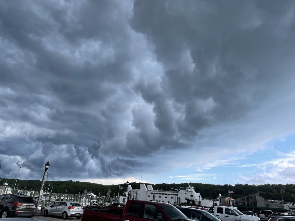
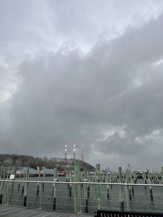
Port Jefferson as storms approach. Buddy on other side about to take ferry in Bridgeport reported hail
-
This from Twitter from Dr Alecia Bentley on severe storms in northeast and why certain o patterns over-perform (maybe explaining tonight’s underperformance) https://journals.ametsoc.org/view/journals/wefo/32/5/waf-d-17-0044_1.xml
-
Yep. Heavy rain , a little breezy in PJ. Was really trying to have hope. Nope. Cleaned truck or pollen though
-
Nice little hook developing with this tiny cell heading towards Port Jefferson
-
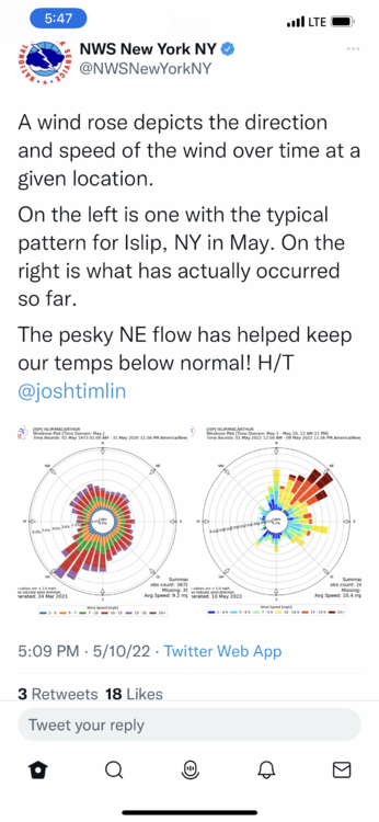
Pretty cool graphic depiction for wind direction at Islip. Didn’t know they analyze this like that. I believe Bluewave has done stats on wind direction for each season.
-
April 2022 temperature forecast contest
bkviking replied to Roger Smith's topic in Weather Forecasting and Discussion
Jeez I blew it in April - didn’t foresee below normal even with solid forecast for blocking. much more cautious for May despite predicted breaking down of AO/NAO. -
May 2022 temperature forecast contest
bkviking replied to Roger Smith's topic in Weather Forecasting and Discussion
DCA: +0.5 NYC: +0.5 BOS: +0.2 ORD: -0.2 ATL: +1.0 IAH: +1.3 DEN: +0.8 PHX: +1.2 SEA: +0.2 i don’t have a good feel. April turned our colder than I thought . A bit gun shy now. Cool start NE with warmer finish ? -
Does this lead to increased tropical activity in the Atlantic? Didn’t we just go through this a few years ago?
-
March 2022 temperature forecast contest
bkviking replied to Roger Smith's topic in Weather Forecasting and Discussion
Thanks Roger. -
April 2022 temperature forecast contest
bkviking replied to Roger Smith's topic in Weather Forecasting and Discussion
DCA +0.8 NYC +0.9 BOS +0.4 ORD +1.0 ATL +2.2 IAH +1.6 DEN +1.0 PHX +0.4 SEA -0.8 -
Absolute miserable day on LI North Shore. Endless rain on north and I can see just 20 miles south ain’t dealing with this.
-
Hail here in Port Jefferson LI
-
I drove from Smithtown (Landing Ave area) to Stony Brook around 6pm and roads were covered with snow and it was a slow drive, so it definitely iced up. On way back just now from Stony Brook to Smithtown and roads were treated.
-
March 2022 temperature forecast contest
bkviking replied to Roger Smith's topic in Weather Forecasting and Discussion
DCA +2.6 NYC +1.9 BOS +1.4 ORD +0.2 ATL +2.9 IAH +2.0 DEN +0.9 PHX +1.4 SEA +.2 -
I have hated the winters since 2012-13 since then it’s been a mass negative EPO driving winter after winter and I’m sick of it. I will always love 2002-2003 to 2010-11 far more. We’ve just had brutal and ruinous springs since the big climate change the massive EPO is now what determines winter.. and it’s sad bc it doesn’t measure up to the massive negative Ao/NAO era
-
Port Jefferson - snow squall warning now in effect
-
I wish he was right. I never considered this before but Oil bills are out of control. Gas is a little different , but with it. I hate hate seeing a - EPO build now . Just screw off cold producer. Just the theme since we swapped out of -AO/-NAO period ending 2011. EPO is becoming our main producer of cold and snow since 2011. I got my 40” of snow here Smithtown and would love a run at a record but it ain’t happening so - not happy with change in long range models at this point in season .