

madwx
-
Posts
2,354 -
Joined
-
Last visited
Content Type
Profiles
Blogs
Forums
American Weather
Media Demo
Store
Gallery
Everything posted by madwx
-
looks like the snow with tonight's system will stay just north of here, and we will end up with 1/3 to 1/2 inch of beneficial rainfall
-
March finished exactly at average for temps in Madison. Was the 6th wettest March on record, over 2.4 inches above average.
-
our floor in the past 30 years has been around 30". Shows how much of a gradient there is between our latitudes
-
It's deja vu all over again
-
Been getting mostly sleet this morning with a few bursts of snow since the changeover. Luckily the back end of the defo band is only an hour or so away
-
The month of April has been a mixed bag around here recently. Varying from very cold and snowy(2018) to warm and wet(2017) and mild and dry(2021). Looks like the first week of the month will be seasonal to cool but the active storm track looks to continue. Those who know more than I are thinking the active weather will continue and possibly pick up for the second half of the month, which means more severe for the SE half of the sub and rain/snow chances for the NW half.
-
some heavier than expected snow incoming tomorrow morning. Expect some advisories to be issued for southern Wisconsin shortly
-
It’s going to be a rough month and a half for radars in the area. MKX, DVN and LOT going to be out of commission for 2 week stretches
-
pretty impressive cold. We've had two straight days with almost wall to wall sunshine and we've only topped out in the low to mid 30s each day. Really shows the depth of the cold airmass
-
Sleet mixing in with rain this morning as the occluded low winds down over our area
-
western troughing should set back up first week of April
-
up to at least 72 out there. Nice torch
-
most migrate south but a few stay around during the winter
-
next week looks pretty mild
-
temp jumped 13 degrees from 7 to 20 in a half hour as the inversion broke.
-
Under clear skies, fresh snow cover and an inversion we got down to 2 this morning at my house. The airport nearby stayed well mixed and is in the middle teens
-
was about 4" at 7 this morning, with snow still falling. Fairly good storm for March
-

2022 Short/Medium Range Severe Weather Discussion
madwx replied to Chicago Storm's topic in Lakes/Ohio Valley
tornado occurred in SE Dane county last night -
Ensembles are backing off on the intensity of the cold snap. Also looks to be fairly short lived
-
the temp contrast between the northern and southern areas of our sub the past few weeks has been pretty crazy
-
February Snow Bonanzas - the new norm in SE MI?
madwx replied to michsnowfreak's topic in Lakes/Ohio Valley
we were in a real bounty stretch from about 2005-2016 but it's cooled off since then. The real untold story (besides the obvious December is garbage), is that March snowfall has really tanked here in the past 10 years -
2022 Short/Medium Range Severe Weather Discussion
madwx replied to Chicago Storm's topic in Lakes/Ohio Valley
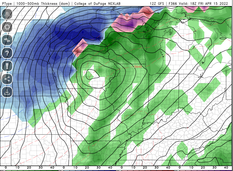
The main severe threat should be shifted east this season with the drought out west. Mildly optimistic about things especially as we head into summer. for this weekend, looking at a strongly forced line to push nw out of Iowa and give us some gusty winds -
Minnesota stands out like a sore thumb in both these maps. Pretty crazy localized pattern for them
-
major overperformance in temps for a second day in a row, closing in on 50 here after tagging 42 yesterday. The HRRR was the only model to sniff this out, as always the NAMs do horrible with temps coming out of winter and into spring.
-
Winter 2021-22 Short/Medium Range Discussion
madwx replied to Chicago Storm's topic in Lakes/Ohio Valley
who's ready for another ice storm next weekend?


