madwx
-
Posts
2,355 -
Joined
-
Last visited
Content Type
Profiles
Blogs
Forums
American Weather
Media Demo
Store
Gallery
Everything posted by madwx
-
So smoky out there this morning. A few cumulus trying to grow vertically. 77/71
-
blew past Madison's daily record high of 87, up to at least 89. Record high min of 66 is in play as well. Only down to 68 this morning
-
82/71 at 1030 AM on May 10th. What a time
-
up to 80/63 at the house. First true hot and humid feel of the season
-
already getting wildfire smoke enhanced sunsets and it's only May 8th. This summer is going to be wild and horrifying.
-

2022 Short/Medium Range Severe Weather Discussion
madwx replied to Chicago Storm's topic in Lakes/Ohio Valley
Tuesday has my interest in southern Wisconsin. Should be a boundary set up across the area with plentiful moisture -
9.15" at the house so just behind you two. Any lingering drought effects are in the water table now as the lawn and plants don't show any signs of impact
-
Getting some light precip this morning and it’s not all liquid
-
hit 80 at MSN. First of the year
-
Sky is pretty hazy. Assuming it’s at least partially due to wildfire smoke and dust advecting in from the SW
-
Bold of you to believe snow is over for both those cities
-
Under an inch of snow on rooftops and patchy snow on the grass. Nothing on the roads here
-
models backing off a bit on snowfall totals. Column saturation appears to be a bit of an issue in Southern Wisconsin, with better dynamics north and south of here.
-
dang, International Falls only made it up to 20 yesterday. Breaks the previous record low max by 7 degrees
-
Early day precip/clouds become much less of an issue as we go into the summer months. The baseline moisture and ability to rapidly warm at the surface really mitigates those risks.
-
Up here it looks like Sunday night and then a lesser chance early Wednesday. After that it looks mild but I don't want to jinx it
-
yikes
-
winds definitely getting very feisty out there with ample mixing. multiple 60 mph gusts in northern Iowa and DVN just issue a High Wind Warning
-
After tomorrow the next week+ is going to suck immensely
-
Plains drought is gonna be wild this year
-
Pretty nasty elevated storm passing north of La Crosse right now
-
woke up to the ground covered in snow this morning. Roads are still just wet
-
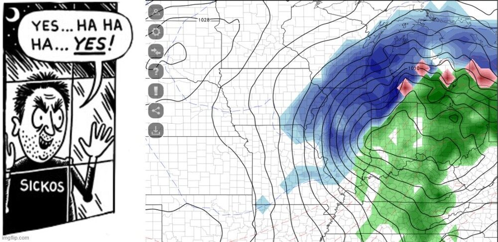
LMAO the GFS now bombing out a 969 mb low over Milwaukee at D11. America's Best Model!
-
Antecedent drought?
-