Kay
-
Posts
2,313 -
Joined
Content Type
Profiles
Blogs
Forums
American Weather
Media Demo
Store
Gallery
Everything posted by Kay
-

2024 Valentines Day Who the Hell Knows - Comeback Thread
Kay replied to DDweatherman's topic in Mid Atlantic
This may be the saddest report of 1" snow I've ever seen Can't really manage to report a T today. I'm at 8" seasonally. Coastal plain lyfe tho -
2024 Valentines Day Who the Hell Knows - Comeback Thread
Kay replied to DDweatherman's topic in Mid Atlantic
Wow. All snowtv, no stickage here. -
2024 Valentines Day Who the Hell Knows - Comeback Thread
Kay replied to DDweatherman's topic in Mid Atlantic
So cool that they're still touring Lost the rates and it's light snow/white rain here. No accums. -
2024 Valentines Day Who the Hell Knows - Comeback Thread
Kay replied to DDweatherman's topic in Mid Atlantic
Just flipped to light-mod snow here by the bay. For the moment. Huge flakes. 34 -
General Longwave Pattern
- 2,509 replies
-
- 9
-

-

-
- weenie fest or weenie roast?
- weenies got roasted
- (and 2 more)
-
Of course! I post. And fit so many other criteria. But the important thing is that we blame each other. So you can, and probably should, blame me. But no one should blame themselves! The rage must be directed outward.
-
Friends. If the epic advertised patterns don't deliver, the important thing? Is that we blame each other. VICIOUSLY. I'm keeping a list of who to blame: -optimists -skeptics -realists -debs -people who start threads -people who refuse to start threads -people who protest threads -people who post -lurkers -all people with any interest in weather both on and off this forum
-
2023 Mid-Atlantic Garden, Lawn, and Other Green Stuff Thread
Kay replied to mattie g's topic in Mid Atlantic
Amazing! Should this be a Garden, Lawn, Other Green Stuff and Nature thread (either by title or just understood)? Like, both flora and fauna? -
By pure coincidence I ran across this recently...I actually printed it what a weenie
- 550 replies
-
- 11
-
-

-

-
Iris poking up
-
Have been watching a beautiful pair of common ravens foraging and exploring and hanging out in a group of tall trees IMBY/neighborBY this afternoon. I know they aren't rare but not too common IMBY that I've seen. Unlike black vultures. which I thought they were for a sec. I wish it were cold and snowing, obvs, but it is a nice day. Dry ground...weird.
-
May I make a recommendation?
-
Did your captors make you post this? Mods I am concerned this is a cry for help.
- 2,509 replies
-
- 4
-
-
-
- weenie fest or weenie roast?
- weenies got roasted
- (and 2 more)
-
Anyone else have this weird thing where "January 31" triggers a mistaken feeling of it being New Year's again? Like just for a second, when you hear or see the date, it's...here we go, a new year... No? Ok, thanks, carry on.
-
Lamar is a huge Mozart fan
-
Jan/Early Feb Medium/Long Range Discussion Part 3
Kay replied to WinterWxLuvr's topic in Mid Atlantic
Not posting this to make a point or a case, mainly I just enjoyed "sneaky look" appearing in an AFD .LONG TERM /TUESDAY THROUGH FRIDAY/... Troughing will persist over the Northeast CONUS much of next week as ridging over the Intermountain West is slowly shunted eastward. Within the eastern trough, a stout ULL will pivot from the Great Lakes toward the Carolinas and Mid-Atlantic Tuesday through Wednesday. With surface high pressure persisting over New England, there may be enough cold air in play for at least some of the precipitation to fall as snow east of the mountains (with all snow over the higher terrain anticipated). The GFS has been the most amplified with this wave, with the 27/00Z run showing an extended period of precipitation over the Mid-Atlantic. Other guidance is generally less bullish, but has the same overall pattern. As is typically the case, uncertainty looms surrounding this system for the middle of next week. That`s because (1) the upper-level low will be at least partially cutoff, and the behavior of such lows can be erratic and hard to predict even a couple days in advance; (2) the area this system is coming from has a bit less observational data for the models to ingest; and (3) temperatures east of the mountains will be marginal, casting doubt on precipitation type. All-in-all, the system has a bit of a sneaky look to it, and bears close monitoring. But, at least from a climatological standpoint, it is not the traditional pattern that brings significant (i.e. warning- level) snow to the lower elevations of the Mid-Atlantic. Beyond that, models diverge quite a bit. This is because they are having trouble resolving a quasi-omega block developing over eastern NOAM during the latter half of next week. Temperature/precipitation forecasts are both of low confidence later next week as a result. -
Morning low of 51. Steady 51-52 midnight-present.
-
"General Longwave Pattern" would be a good username. Like, a lesser known Civil War general lol. I'm bored w mine. Have considered Onshore Flo, for obvious reasons. But idk. Flo. re-posting this in support of the acronym.
-
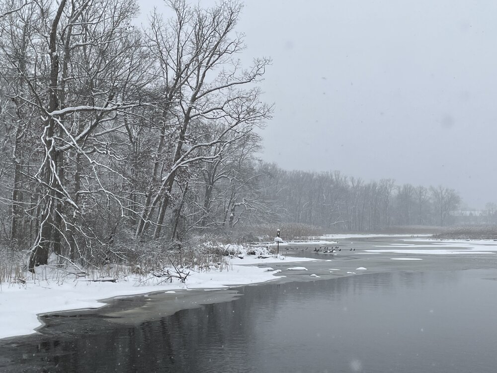
Snow hides things...streets, mud, some of civilization's uglier bits. Big part of its appeal. Snow also reveals things, like animal tracks, where birds are demolishing berries, and the fact that all of nature is a giant toilet. Have a great day, everyone!
-
Has anyone directly told the El Nino that this is not okay
-
TIL apparently it's a different but similar looking sphinx moth caterpillar https://inaturalist.lu/journal/origamilevi/60093-types-of-manduca-sphinx-moths-in-the-usa
-
Low of 14
-
Lastly, one from obs thread