Amped
-
Posts
14,586 -
Joined
-
Last visited
Content Type
Profiles
Blogs
Forums
American Weather
Media Demo
Store
Gallery
Everything posted by Amped
-

January: Medium/ Long Range: May the Force be with Us....
Amped replied to Weather Will's topic in Mid Atlantic
GFS looks odd, but you gotta admire the way the cmc just shreds the energy when there's not a strong confluence zone. Makes even less sense. -
January: Medium/ Long Range: May the Force be with Us....
Amped replied to Weather Will's topic in Mid Atlantic
One of the largest snow swaths you'll ever see. Extends all the way back to NM -
First flurries of the year
-
Rafael was not supposed to be this strong in the gulf.
-
GFS fantasy land tracks right over our favorite FL town again.
-
-
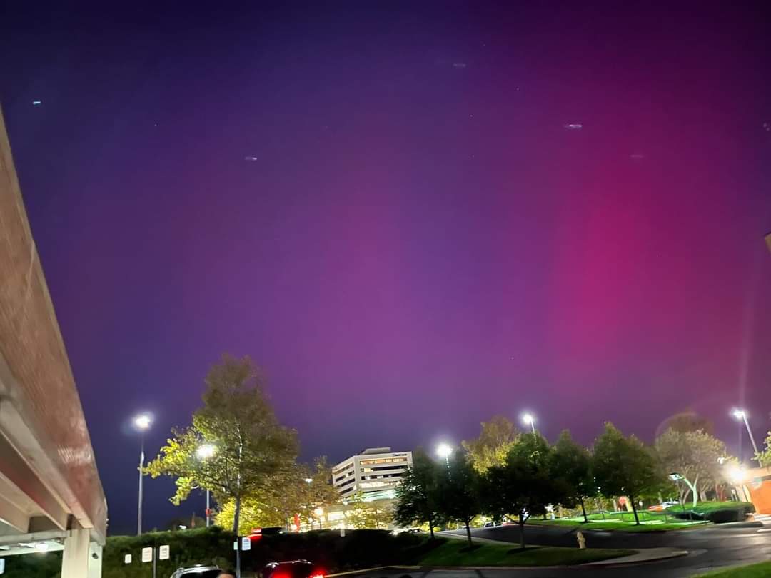
Funny I was in downtown Columbia all night and it didn't look like this. Maybe a tenth that bright.
-
Never wanted a power outage so badly
-
There's still a huge waterspout outbreak going on off Floridas east coast.
-
Coming for Orlando and Daytona next.
-
The rainband headed for Orlando later tonight. Hopefully the heaviest part misses to the north, but it does seem to be having a hard time advancing north on radar.
-
I think it made landfall over the southern half of Longboat Key, which is mysteriously missing from the COD radar map.
-
Got my "Eye of the storm" playlist ready.
-
The eastern part of the eye is a couple frames away from Siesta Key
-
The main rainband looks like it will pass directly over Tampa. Models were showing 10"-15" rainfall totals in that band.
-
Modeling didn't do a bad job. The tornado threat was overlooked by a lot of people who were distracted with things like ERCs, Recon passes, ADT numbers, and nitpicking every run of every model.
-
The north wobble might be starting to correct itself, it's back on course towards Bradenton/ Longboat key. Pretty much the consensus over the last couple days.
-
On radar, it appears to be moving ENE pretty fast, you'd get landfall well before 10pm if you extrapolated it.
-
The movement on radar has been pretty straight the last few hours, right along the NHC track towards Sarasota.
-
It seems like it's further north and slower than most 12z guidance.
-
The severe is overperforming so not a bust.
-
Hmon and HWRF still have wind trajectories that look like they are sucking water out of the bay rather than pushing it in, and from this storm size/shape it would have to track way north through Port Richey for TB to get the maximum surge.
-
Sorry gotta binge watch another 12-18hrs of Goes-16 porn.
-
GFS looks like it's over Bradenton 6z Thursday.
-