Jump to content

SBUWX23

Meteorologist
  • Posts

    1,282
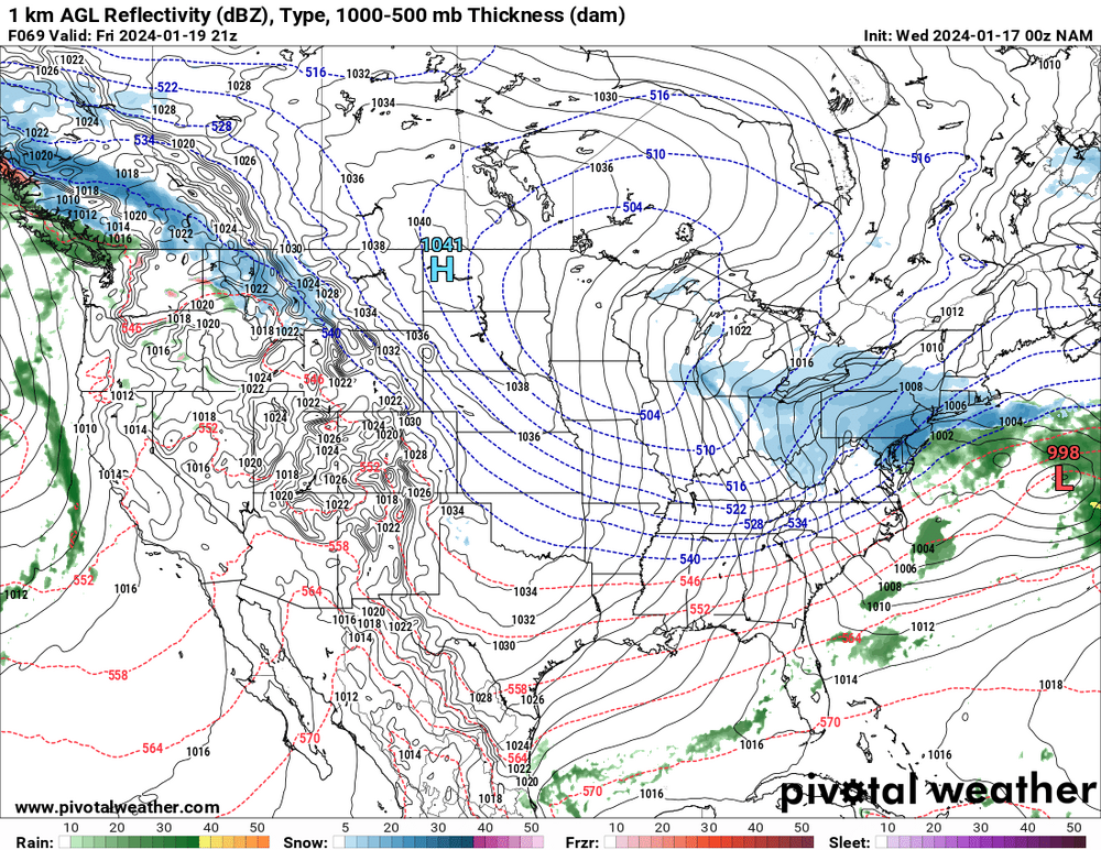
  • Joined

  • Last visited

Everything posted by SBUWX23

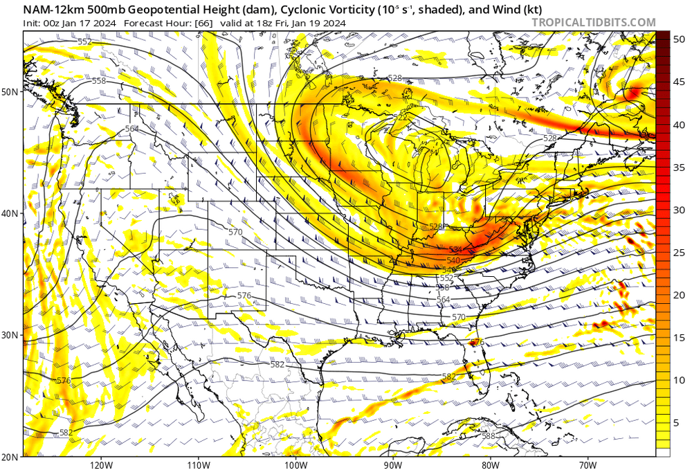
  1. that is some top notch analysis. It improved at 500 mb since 00z. There is a ceiling with this, but the 500 mb improvement could yield a bit more snow down the road.
  2. I will say though models almost never trend west or north. Wherever the gradient is now should verify. Models almost never miss these situations.
  3. At the same time it can also tighten the forcing gradient and where it is snowing under light returns its full of fluff.
  4. You live near an ocean that has a warm stream running near and off the coast. You have been spoiled over the last 10-15 years with big storms and KUs. They don't always work that way. Both of these systems are not classics by any stretch and of course they'll have some challenges.
  5. No significant change on the GFS. Been pretty consistent the last several cycles on a light but fluffy event for portions of the region mainly south of New England.
  6. Clown map from the 18z rgem. Continues to trend towards more of the inverted trough compared to a larger coastal influence
  7. The one thing id consider is the sun will do some work on the sun tomorrow but there should be some snow left for sure
  8. Some of it I don't think is his fault. They were missing their best offense guy last playoff. They need 1 more power forward who can score. He has completely changed their culture and don't think he's gone after this year if they don't win it all
  9. I know many are worried about the pattern change coming but we should not forget that we have not yet reached our climo highest snow month. I'm gonna be venture to say we will have chances at some point later in February
  10. The forcing should be a bit better Fri if it evolves. Just concerned if it's soley the inverted trough that lots will be screwed by it. Always difficult to know where
×
×
  • Create New...