SBUWX23
-
Posts
1,292 -
Joined
-
Last visited
Content Type
Profiles
Blogs
Forums
American Weather
Media Demo
Store
Gallery
Everything posted by SBUWX23
-
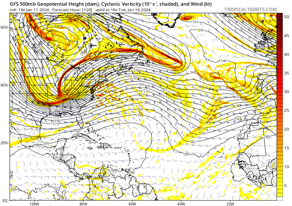
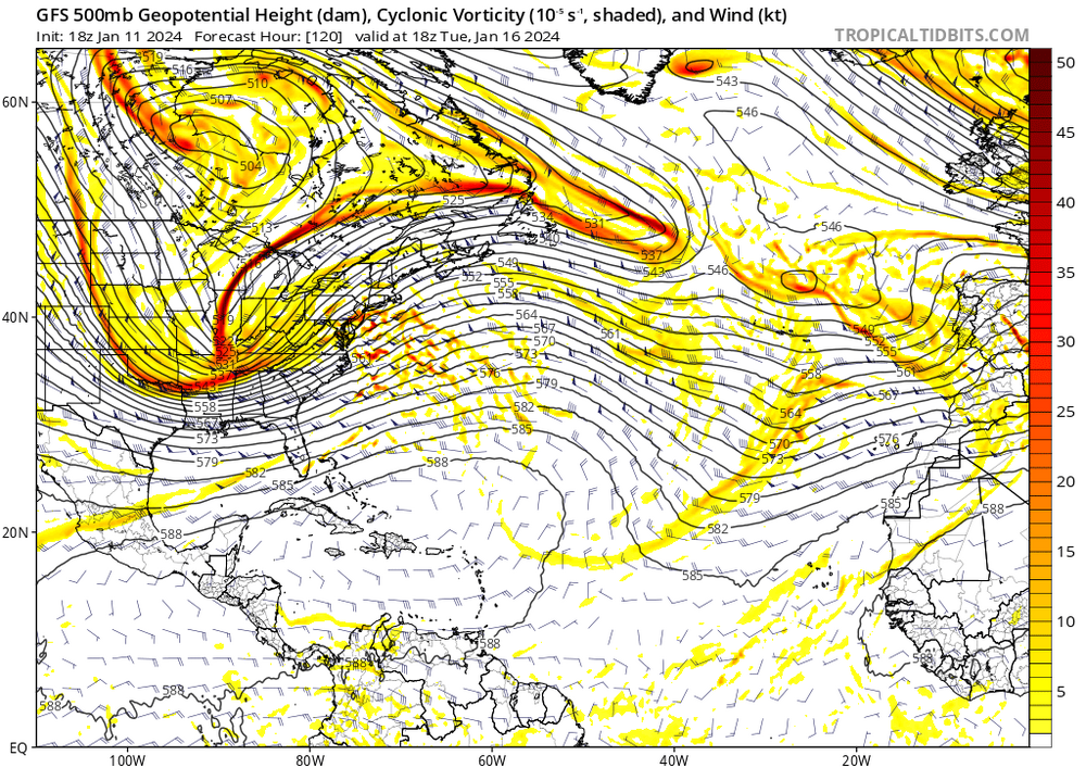
 That was all jet dynamics. The models did not handle the upper jet well at all leading up to it. Within 12-24 hours out the GFS i remember finally picked up on the amplification of the jet and we had excellent right entrance lift from a departing 160-180 kt. The flatter solutions leading up to the event led to models to have precip offshore.
 -
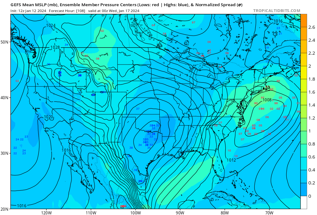
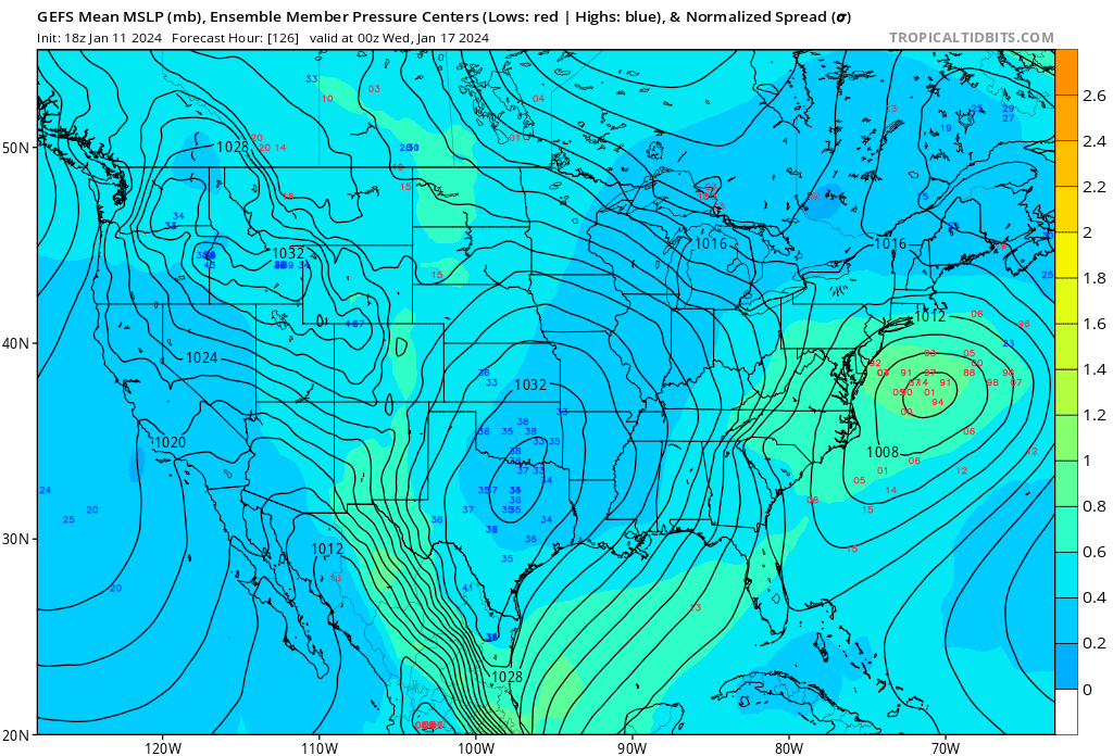
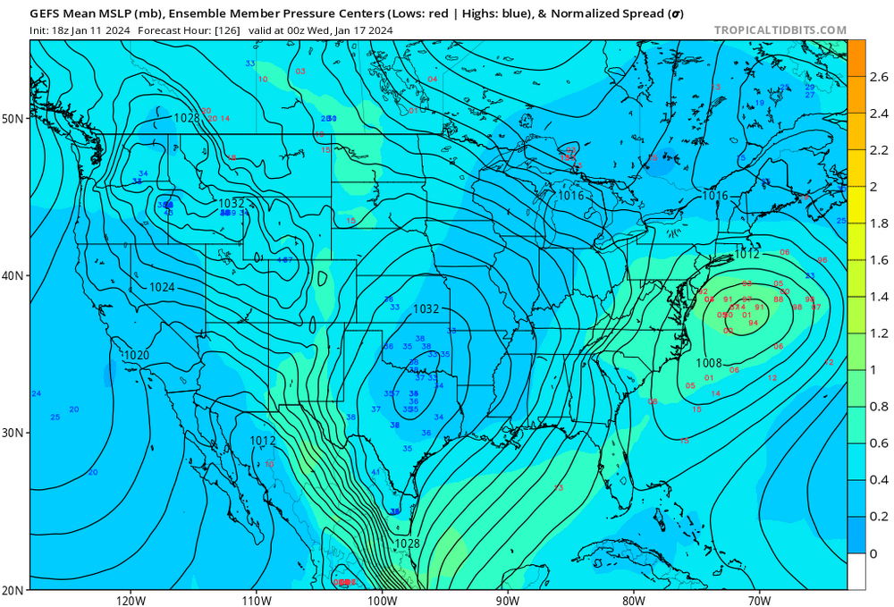
Notable shift NW at valid time 00z Wed with GEFS members compared to the 12z and 06z suite.
-
As long as the low doesn't end up close to coast where an onshore flow develops
-
Just heard a cicada
-
The euro has more snow than the GFS now. Models are nodding at nothing other than uncertainty
-
I was thinking this the other day. We have been fortunate with some of the historic events in the last 10 or so years.
-
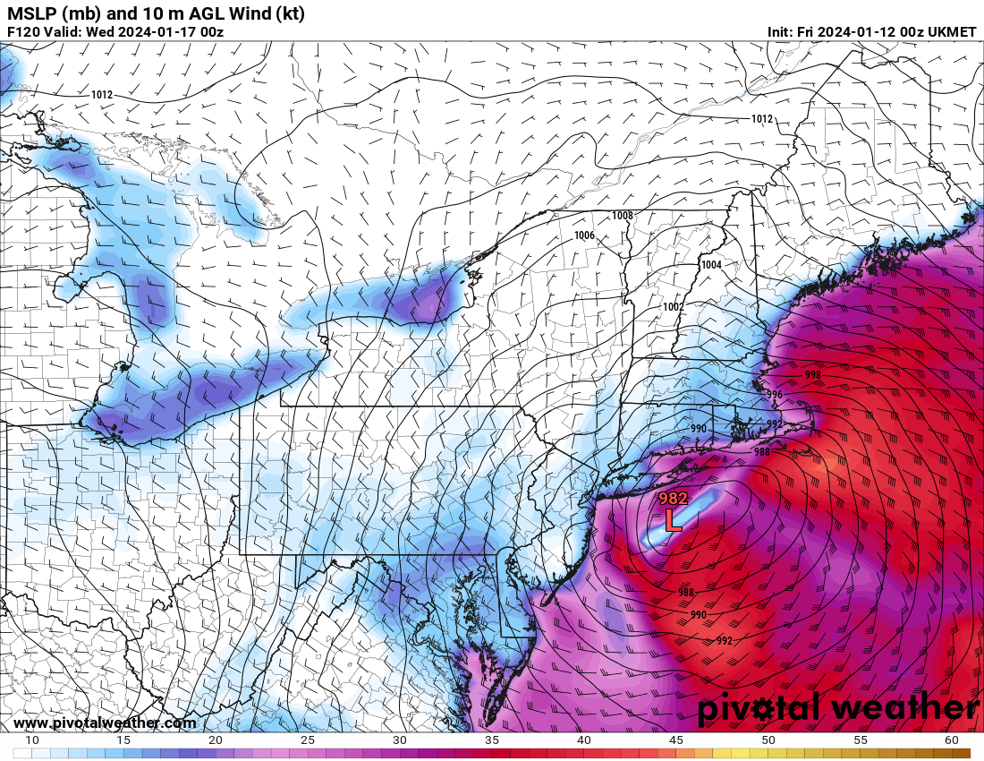
It's east of its 12z counterpart. It's also stronger as it comes up coast which does introduce concern of mixing but looks like 982 low se of mtp that would snow pretty much for all for a time too. So mixing verbatim but also probably a good storm involved either way.
-
00z GEFS present spread which is expected with some earlier and some later developing lows. All in all the signal is robust enough to watch.
-
At this point I think NYC would be thrilled with a 3-6 event knowing we have plenty of time left for more.
-
Agree. And even the western side of the suite ICON shifted much further east tonight. The 00z gfs is a good solution for many. Don't expect a blockbuster here but could be a welcome site for many. We are overdue to be honest and finally have some pieces on the table that seem favorable. That's all we can hope for now!
-
Those snow maps are way overdone based on that solution. It has snow but it is warm for the I95. No sense in discussing further at this point as it's been in the western side of the guidance anyway.
-
Cmc is not a good solution for any of the I95
-
It may just be slower to evolve
-
We don't want it too close as that introduces issues aloft and potentially surface.
-
Some members close to the coast but not a bad look.
-
I feel like what's going on in the 50/50 region is very important to this outcome. Let's hope it's onto something because I think this prevents the low from being an inland runner.
-
It kinda looks a little slower
-
Yep, laughing at the calls its more right here. The key is we just dont know yet. There are so many variables at play here and this is where models struggle. No storm is just a real possibility as well as a storm. Gotta give it a few days at least.
-
euro is just well offshore. The CMC is probably right though right? Lol, who knows whats gonna happen at this point.
-
12z Euro is looking either delayed or nothing. Looks way different than 00z and any of the rain solutions of the CMC and UKMET