

SBUWX23
-
Posts
1,292 -
Joined
-
Last visited
Content Type
Profiles
Blogs
Forums
American Weather
Media Demo
Store
Gallery
Everything posted by SBUWX23
-

2/13 Significant/Major Winter Storm Discussion & Observations
SBUWX23 replied to Northof78's topic in New York City Metro
Its a very complex system -
2/13 Significant/Major Winter Storm Discussion & Observations
SBUWX23 replied to Northof78's topic in New York City Metro
Its easy to sit here and arm chair forecast, but I do not think some realize the pressures of professional forecasting especially in a highly populated area. To say no one is right anymore is a bit harsh. We have so much data to look at and so many variables that have to be considered. Think about how many towns, cities, etc the local NWS offices in the NE have to deal with. They are not just putting forecasts out for the general public, its also for emergency managers who need to make informed decisions. -
2/13 Significant/Major Winter Storm Discussion & Observations
SBUWX23 replied to Northof78's topic in New York City Metro
The thing here is there may be real obs now with the southern vort and northern stream the models are initializing with that are leading to the changes. I am very interested in the 00z runs, but dont expect anything significant, it may not be till tomorrow morning. -
2/13 Significant/Major Winter Storm Discussion & Observations
SBUWX23 replied to Northof78's topic in New York City Metro
its further south, wouldnt say much weaker. its just south and not as broad. -
2/13 Significant/Major Winter Storm Discussion & Observations
SBUWX23 replied to Northof78's topic in New York City Metro
what is this? did a child draw that? there are better model sites out there then this. -
2/13 Significant/Major Winter Storm Discussion & Observations
SBUWX23 replied to Northof78's topic in New York City Metro
it could also bump north. these changes are noise. euro still has temps too high in the city area. yes i know dynamical cooling etc. -
2/13 Significant/Major Winter Storm Discussion & Observations
SBUWX23 replied to Northof78's topic in New York City Metro
dont think its snowing that far west at 21z. that is a 6 hour avg ptype. -
2/13 Significant/Major Winter Storm Discussion & Observations
SBUWX23 replied to Northof78's topic in New York City Metro
It looks cold enough for snow... Sneaky warm layers near the coast at 750-800 mb.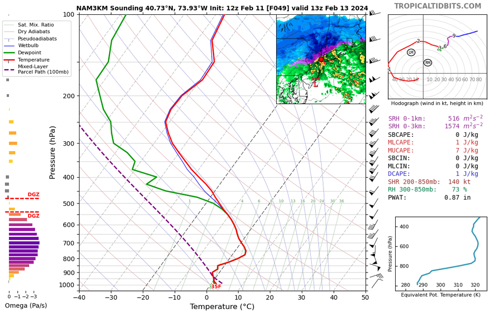
-
2/13 Significant/Major Winter Storm Discussion & Observations
SBUWX23 replied to Northof78's topic in New York City Metro
its on the 10:1 snow maps so it must be real. -
2/13 Significant/Major Winter Storm Discussion & Observations
SBUWX23 replied to Northof78's topic in New York City Metro
not really, members look similar overall to previous runs. this is based on track and other fields, not 10:1 snow maps and mean snow map. -
2/13 Significant/Major Winter Storm Discussion & Observations
SBUWX23 replied to Northof78's topic in New York City Metro
weenies will be surprised at how it will struggle to snow when a 979mb low is 50 miles south of the coast. -
Snow may be a thing of the past for NYC and Long Island. Category 6 storms but no snow.
-
2/13 Significant/Major Winter Storm Discussion & Observations
SBUWX23 replied to Northof78's topic in New York City Metro
Not sure what's going on there but the point click ranges seem broader then the maps do. -
2/13 Significant/Major Winter Storm Discussion & Observations
SBUWX23 replied to Northof78's topic in New York City Metro
Their deterministic forecast on the snow forecast map is only around 1.5 near you. The ranges in the point and click seem broader than the maps. -
2/13 Significant/Major Winter Storm Discussion & Observations
SBUWX23 replied to Northof78's topic in New York City Metro
it looks like its for the NW interior not all of NE NJ -
2/13 Significant/Major Winter Storm Discussion & Observations
SBUWX23 replied to Northof78's topic in New York City Metro
it is suppressed with everything. -
2/13 Significant/Major Winter Storm Discussion & Observations
SBUWX23 replied to Northof78's topic in New York City Metro
Edit nvm I see it above! -
2/13 Significant/Major Winter Storm Discussion & Observations
SBUWX23 replied to Northof78's topic in New York City Metro
What's the surface look like? -
2/13 Significant/Major Winter Storm Discussion & Observations
SBUWX23 replied to Northof78's topic in New York City Metro
It's better to put out the worst case forecast 3.5 days out? -
2/13 Significant/Major Winter Storm Discussion & Observations
SBUWX23 replied to Northof78's topic in New York City Metro
vertically stacked lows are decaying and do not produce the same dynamics. you want the mid level loves to pass to your south. -
2/13 Significant/Major Winter Storm Discussion & Observations
SBUWX23 replied to Northof78's topic in New York City Metro
all you need is a slight shift north and it is 95 percent rain for the coast. Also its not gonna stick with temps above freezing during daytime Tuesday. Chances are very slim at the coast. Get out, enjoy life. -
2/13 Significant/Major Winter Storm Discussion & Observations
SBUWX23 replied to Northof78's topic in New York City Metro
This is usually a red flag because this can be very thread the needle when your airmass is marginal at best. Dynamics can only do so much. Case in point a few weeks back when even the interior struggled to get any snow. -
2/13 Significant/Major Winter Storm Discussion & Observations
SBUWX23 replied to Northof78's topic in New York City Metro
CMC is not north and is not anywhere near the GFS aloft. -
The 13th
-
The GFS continues to show less phasing and less favorable northern and southern stream spacing to lift the low further north like earlier runs. We should not be looking at snow clown maps now as they are just not good but rather what is going on aloft. Will see what the other guidance has, but the GFS may not be completely wrong with the scraper for us. Again i would not put stock in its ptype or snow amount at all. It has a cold bias


