SEwakenosnowforu
-
Posts
378 -
Joined
-
Last visited
Content Type
Profiles
Blogs
Forums
American Weather
Media Demo
Store
Gallery
Everything posted by SEwakenosnowforu
-
Why do u say that? Have u not watched the radar all day? The moisture is aimed towards NE wake co. Still holding on hope that changes. He is not trolling. Obviously u know nothing about SE wake co and the continuous heartache Sure we are going to get something...but damn dude
-
Ok...saving this. Hope u r right
-
Stop squinting! Hope u r right though!
-
Exactly...gonna be tough to get to se wake. Se wake yes!
-
I have been relaxing all day. But thanks for the encouragement...I need it!
-
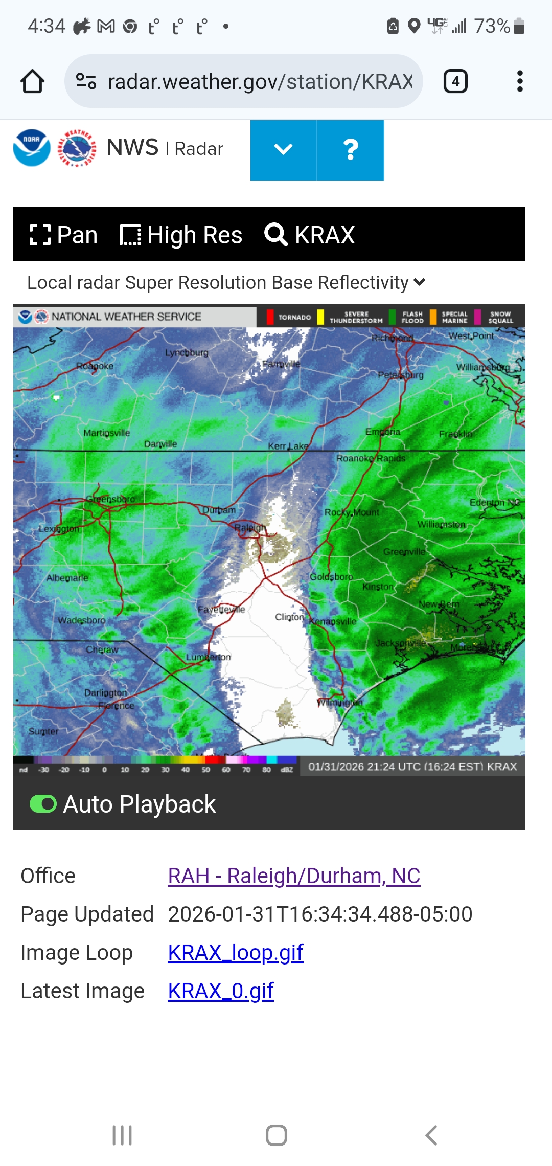
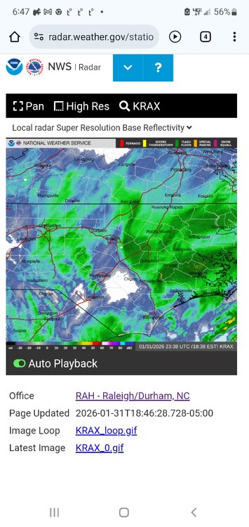
I hope u are right...look at the white spot headed for Wake. After that something for sure.
-
You sure about that ron? All I have is a sleet mound in the driveway from last week's dry slot! Rotfl
-
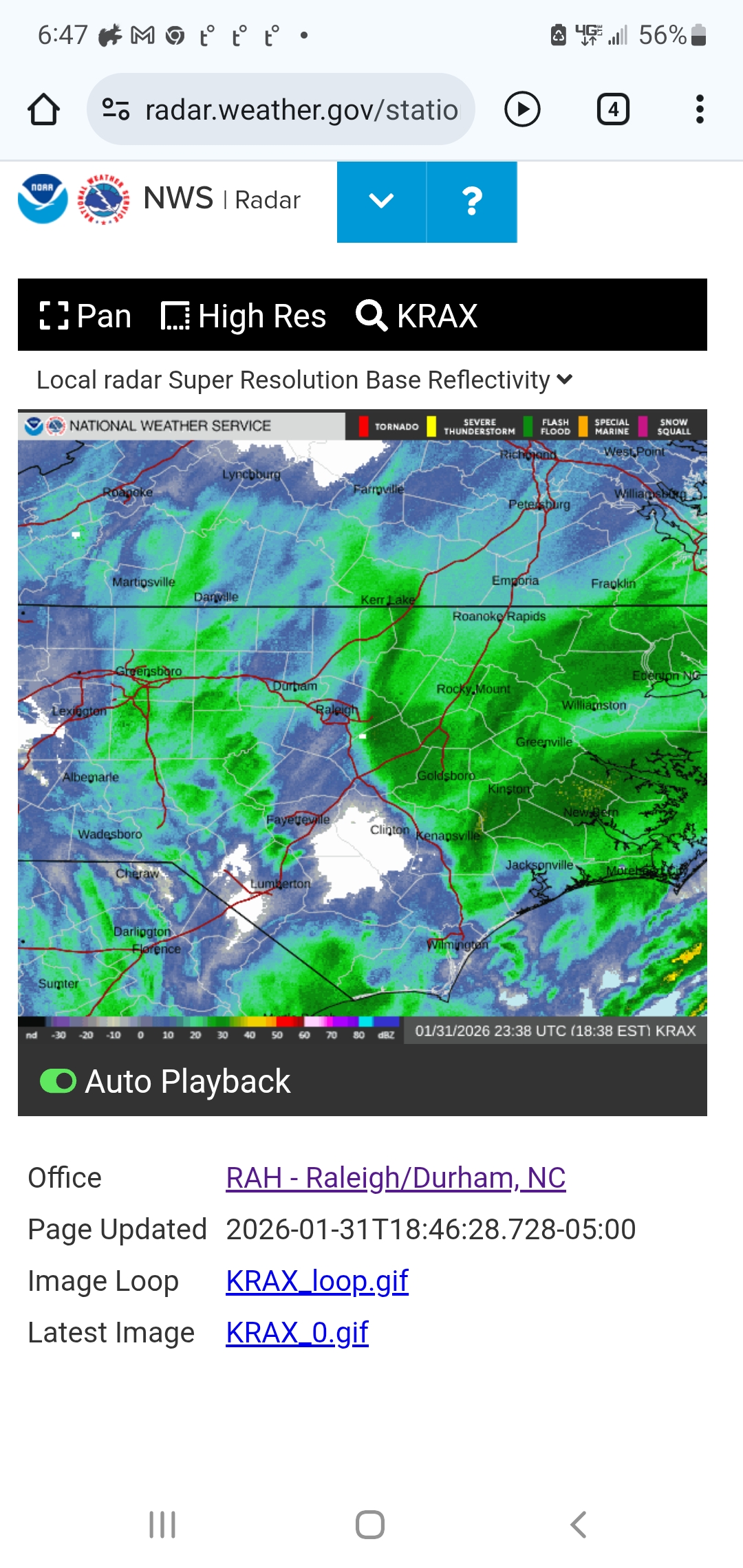
Radar is shrinking to the west. We have to get that coastal moisture in here....or we r done
-
January 30th- Feb 1st ULL and coastal storm obs
SEwakenosnowforu replied to JoshM's topic in Southeastern States
Something is about to give! Right? This dry slot can't continue -
January 30th- Feb 1st ULL and coastal storm obs
SEwakenosnowforu replied to JoshM's topic in Southeastern States
Atlanta 60mph? -
January 30th- Feb 1st ULL and coastal storm obs
SEwakenosnowforu replied to JoshM's topic in Southeastern States
Hate u bro...this is jeff...hate u but happy for u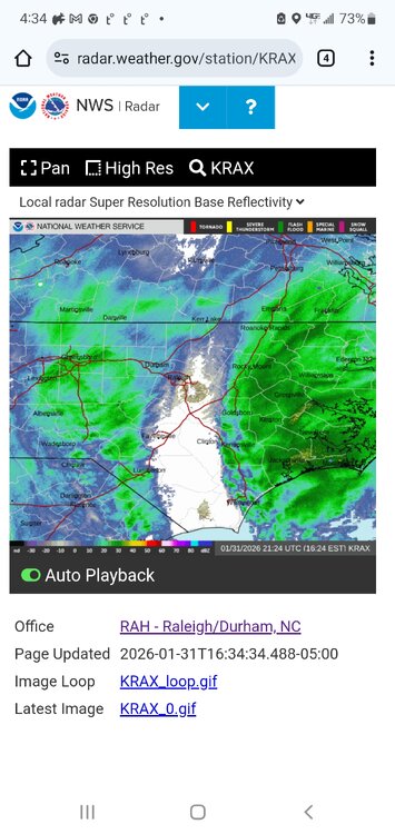
-
Not true. Wake co is big from north to south. South Wake always gets shafted like u. But I am happy for u guys
-
I will say I am happy for the GA people and upstate to Charlotte. I am just talking panhandle of FL getting snow and we can't. It does kind of look like that precip from the coastal merge with the ull moisture. I am cliff diving but who knows what might happen
-
It's been filling in since noon bro...
-
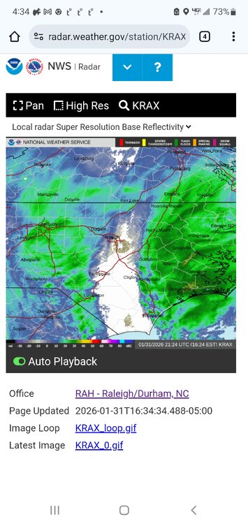
This is a cruel joke
-
I will say it. I am tired of locations 500 miles south of Raleigh getting more snow than us...TIRED of it.
-
Don't care...worthless at this point
-
Lol
-
January 30th- Feb 1st ULL and coastal storm obs
SEwakenosnowforu replied to JoshM's topic in Southeastern States
Let me help u...Raleigh trace -
January 30th- Feb 1st ULL and coastal storm obs
SEwakenosnowforu replied to JoshM's topic in Southeastern States
Sooo happy for u bad sad -
I mean...we even got dry slotted last weekend! It would have been sleet not ZR...we can't fing get anything here. My screen name is 100% the true
-
I really am done after this...
-
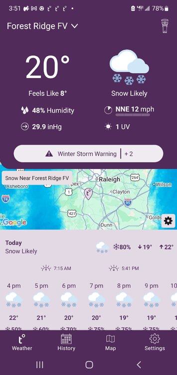
Another beautiful radar shot
-
I got my expectations up about two hours ago because it appeared the dry slot was shrinking...then BOOM...back even stronger. Precip stalled just west of us...sigh
-
Thank God I have a sleet mound in my driveway from last weekend...