

cyclone77
-
Posts
18,990 -
Joined
-
Last visited
Content Type
Profiles
Blogs
Forums
American Weather
Media Demo
Store
Gallery
Everything posted by cyclone77
-
A little bonus frost this morning with an unexpectedly low-low temp of 35 here.
-
As expected temps overachieved. Hit 31.
-
One last freeze tonight and hopefully that is it until fall. Already down to 38 here. Only under a frost advisory but we always get a few degrees colder here in the valley.
-
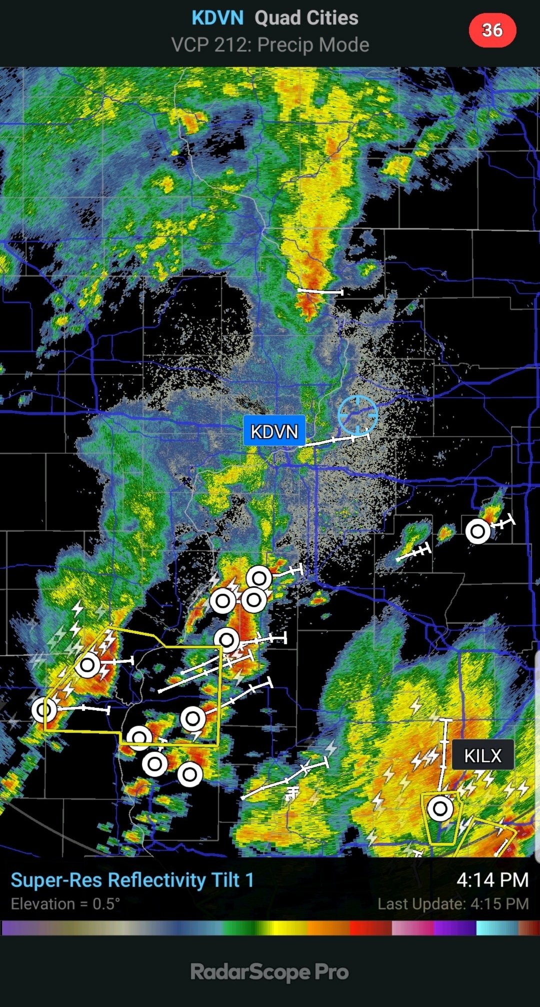
Was under a severe warning earlier. Nice surprise, wasn't expecting much action here. Lots of thunder and gusty winds. Picked up 0.16". Perfect for new grass seed.
-
Quite a bit of thunder out of these tiny high-based cells. See-through fall streaks of rain beneath high-based updrafts, and quite a bit of lightning. Getting some 40mph gusts beneath one right now, but rain is pretty wimpy.
-
Nah it's gonna suck ass.
-
12z Euro shows snow mixing in with the showers on Thursday over much of Iowa and surrounding areas. Just awful.
-
A freeze here this morning with 31.
-
We forked.
-
0.04" from some light rain earlier. Brings the final April total up to 7.52".
-
Very nice. Gonna be some awesome scenic snow capped mountain views at Banff Springs golf course deep into the warm season.
-
Hopefully it'll be awhile before Canada's smoke arrives to milk out the skies.
-
Looking ahead we are going to have frost potential as late as May 10th. I'd hold off planting a garden for a good 12+ days. Even if the frost is light/patchy the plants probably wouldn't grow much anyway with these cooler temps.
-

Potential Sever Weather Outbreak 4/27/2026
cyclone77 replied to pen_artist's topic in Lakes/Ohio Valley
As expected it was a non-event for the entire DVN cwa. Another bullet dodged. -
Impressive wake low winds today. Didn't realize it was that bad whilst at work. Several large limbs and partial tree sections down here in town. Unfortunately the house blocked the wind from hitting the weather station directly.
-
Nice morning soaking with 0.73". Brings April up to 7.46". Maybe some bonus showers later but main show likely over.
-
Hopefully we can get a decent rainfall tomorrow morning with the crapvection, as the afternoon stuff looks like a non-event for this area. Been a nice and rainy past month or so, but sort of a drier stretch coming up for the next few weeks. Still have ground to make up for that abysmal Aug-Feb stretch of dry weather.
-
Potential Sever Weather Outbreak 4/27/2026
cyclone77 replied to pen_artist's topic in Lakes/Ohio Valley
Central and southern IL still in the game, and into Indiana later on. Northern IL looks pretty cooked to me. -
Be sure to check back in with us in late May after we have our below average May.
-
Potential Sever Weather Outbreak 4/27/2026
cyclone77 replied to pen_artist's topic in Lakes/Ohio Valley
The Slasher (Thompson) already removed 10% tor probs over Kansas for today's setup. -
Potential Sever Weather Outbreak 4/27/2026
cyclone77 replied to pen_artist's topic in Lakes/Ohio Valley
Best bet for the northern IL play to work out is for the morning convection to blast through quickly/faster than current model forecasts, and then the rapidly overspreading mid-level lapse rate plume could recharge that area pretty quickly by mid-afternoon. No question there's gonna be a large amount of morning convection, but if we can get it to blast out of the area by midday there may be enough time to recharge. -
Potential Sever Weather Outbreak 4/27/2026
cyclone77 replied to pen_artist's topic in Lakes/Ohio Valley
Lots of ongoing morning convection on the models over Iowa/northern MO and into northwest IL. Likely to push the best chances for afternoon main show south and east of the DVN cwa. -
Picked up 0.05" of decaying Iowa leftovers.
-
Bad timing for this event for this area. Most of the stuff will have crapped the bed before reaching here later tonight. Next shot at decent rains will come Monday.
-
Illinois is the new Oklahoma.




