

cyclone77
-
Posts
18,904 -
Joined
-
Last visited
Content Type
Profiles
Blogs
Forums
American Weather
Media Demo
Store
Gallery
Everything posted by cyclone77
-
First round quickly converted over to anvil rain on approach. Let's see what round 2 does.
-
Very surprised that there's still not a moderate risk area. Today definitely looks to have widespread severe. Already many 70-80mph wind reports out west with the incoming MCS.
-
DVN gusted to 69mph earlier, MLI hit 55mph. The Kirksville area of northern/northeast MO is really getting trained this evening. Gonna be some huge totals overnight if that remains stalled out east/west through that area.
-
Poor Patrick Ewing had to deal with the Bulls during his whole career lol.
-
This thing moved in very quickly. Temps dropped into the 60s here, so this thing is probably developing a cold pool. Had a nice burst of 50mph winds and continuous lightning.
-
Reverse jinx worked here too. Thanks @Chicago Storm!
-
Perfect skip over job here and the IL QC. Next round likely to stay south. Guess we'll see what happens with tomorrow's round.
-
Picked up 0.06" from light anvil rain earlier.
-
Eastern Iowa is gonna get hammered early tomorrow evening with the main wave. Looks like Thursday action may focus more along and south of I-80 due to the morning wave. That morning/early afternoon batch will be severe as well, but may push the main show further south in the later afternoon.
-
First day of the summer with mid 70 dews all day. Definitely not used to it quite yet.
-
1.87" total here between yesterday and today.
-
Picked up 0.00" overnight. 2-day total remains 0.07". Hopefully tomorrow we can breach the 0.10" mark.
-
Looks like tonight may miss south too lol. Guess we'll try again on Sunday.
-
Picked up 0.02" early this morning.
-
I could be down for a ring of fire pattern. Tis the season is the reason.
-
The dry air allowed us to drop to 49 early this morning. Back up to 86 this afternoon.
-
Extremely dry air advected in from the northeast this evening. Have had dews as low as 33.
-
I'm going through Canadian smoke withdrawal.
-
Ending the month with a bang. Getting some sprinkles from time to time. Will finish May with 1.77".
-
51 this morning, 88 this afternoon. Wish we could keep these low 50 degree dews.
-
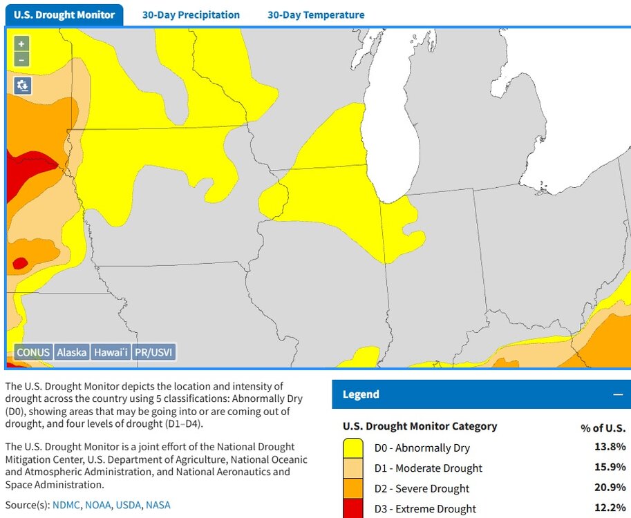
This is one for Annie Lennox's other song ♪ here comes the drought again ♪
-
Keeping the lawn, but I don't put down any chemicals or anything or water it. The birds love the well kept lawn. Out here in the sticks if you have an overgrown landscape you will have all kinds of creatures trying to get into your home. I did plant plenty of native trees all throughout the yard.
-
First 90 degree day of the year here today with 93. Sterling hit 92, DVN 90. EDIT: Sterling hit 93 as well between the hourly obs.
-
Gonna get a nice long break from mowing the lawn.
-
Guess this should lock in IL for the title for most tors this year then.


