

LongBeachSurfFreak
-
Posts
9,444 -
Joined
-
Last visited
Content Type
Profiles
Blogs
Forums
American Weather
Media Demo
Store
Gallery
Everything posted by LongBeachSurfFreak
-
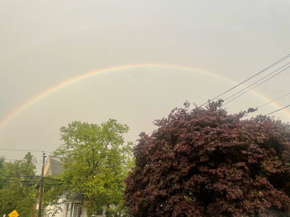
Best part of this storm is the current vivid double rainbow .
-
1” here in lynbrook most of which fell in 20 minutes with a wet microburst. Visibility was down to a few hundred feet during the peak. .
-
Prolific lighting over northern Nassau right now. Totally worth standing outside and watching .
-
Sw Nassau just got rocked by a pulse cell. Small hail and extremly heavy rain, very brief 50+ mph gusts. Literally appeared on radar after passing jfk. That was an amazing surprise .
-
I know it’s mentioned constantly, but a great CPK wtf day. 90 meanwhile EWR 97, LGA 95 and JFK 91 with an onshore wind. 96 here earlier in Lynbrook .
-

Occasional Thoughts on Climate Change
LongBeachSurfFreak replied to donsutherland1's topic in Climate Change
Exactly what predictions are failing, other then nonsense from Al Gore? . -
Possible just SW of NYC. Looks like a good south Jersey severe alley day. .
-
Winter cancelled/uncancelled banter 25/26
LongBeachSurfFreak replied to Rjay's topic in New York City Metro
I mean it’s a pretty easy forecast. This is a close the blinds winter for snow lovers. Not every super times a big storm with cold like 82/83 and 15/16. Without that it’s warm pac air with a few modified continental polar cool shots. . -
KFOK 45 so your number is impressive. .
-
Agreed, has to be 105+ at EWR at this point for CPK to have a shot at 100. .
-
I had to clear the beach at jones beach after visable CTG lightning. Just clipped by the core, brief heavy rain and a few gusts in the 30s .
-
I had to clear the beach at jones beach after visable CTG lightning. Just clipped by the core, brief heavy rain and a few gusts in the 30s .
-
Had some gusts around 40 and hardly any rain in lynbrook. Seemed to skip over me and restrengthen further east. .
-
How are the mesos looking for storms? Flow screams marine layer stability as storms aproach the coast. .
-
2026-2027 Super El Nino
LongBeachSurfFreak replied to Stormchaserchuck1's topic in Weather Forecasting and Discussion
There were allot of coastal storms and resulting erosion that winter. I was working on a research project tracking erosion at the time. Snow wise in the north east it was a lack of cold air that produced the negative result not the storm track. . -
2026 Atlantic Hurricane Season
LongBeachSurfFreak replied to Stormchaserchuck1's topic in Tropical Headquarters
12/5/2 . -
2026 Atlantic Hurricane Season
LongBeachSurfFreak replied to Stormchaserchuck1's topic in Tropical Headquarters
I would basically completely write off the mdr this season. Maybe something like 72 with potential for stronger systems closer the CONUS https://en.wikipedia.org/wiki/1972_Atlantic_hurricane_season#/media/File%3A1972_Atlantic_hurricane_season_summary_map.png . -
Thanks for the clarification. Interesting that the low occurred so early in the night. .
-
I’m seeing 46.9 inter hour. .
-
Yup. Even some brief heavy downpours around. .
-
4.5” in 5 days here. Pretty much everything this month fell in 5 days .
-
Still pretty crappy at jones beach, just had some drizzle. Drone show approaching and hardly anyone in the park. .
-
2.5” of rain here yesterday. Far from a few showers. .
-
Might as well just need the drought, some moderate rain had the same effect when it’s 49 and raw as drizzle. .
-
Best thunderstorm in a few years in sw Nassua. Winds were sub severe but the rain an ctg lightning was extremely impressive. Over 2” here .


