

LongBeachSurfFreak
-
Posts
9,479 -
Joined
-
Last visited
Content Type
Profiles
Blogs
Forums
American Weather
Media Demo
Store
Gallery
Everything posted by LongBeachSurfFreak
-
Closely watching the Philly action. Trajectory looks good for western li .
-
We have seen that time and time again in the past. No flood watch for the island. .
-
Lots umbrellas flying at the beach today. Other then the wind it’s a 10/10 beach day. .
-
Damn that really really sucks. Never want to rely strictly on convection. Even if you do get under decent convection with the ground parched it mostly runs off. We really want that strataform zone to trend south for a protracted soaking. .
-
Par for the course during convention season. We really need this one to work out. That northward trend is not our friend .
-
It’s actually pretty incredible how a storm this strong 985mb is able to pass this area precipitation free. .
-
Track and structure scream throw in the towel for this ever being named. .
-
If KFOK can go calm for a few hours low 40s are attainable .
-
.5” last night. Not bad and 2” in the last 7 days. Near normal precip at a time we often struggle with convection. .
-
I can remember some night squall lines just like that back in the 90s. .
-
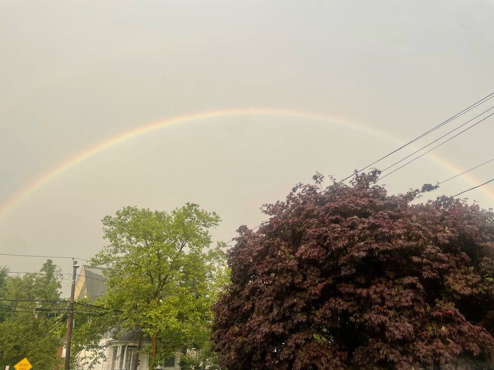
Best part of this storm is the current vivid double rainbow .
-
1” here in lynbrook most of which fell in 20 minutes with a wet microburst. Visibility was down to a few hundred feet during the peak. .
-
Prolific lighting over northern Nassau right now. Totally worth standing outside and watching .
-
Sw Nassau just got rocked by a pulse cell. Small hail and extremly heavy rain, very brief 50+ mph gusts. Literally appeared on radar after passing jfk. That was an amazing surprise .
-
I know it’s mentioned constantly, but a great CPK wtf day. 90 meanwhile EWR 97, LGA 95 and JFK 91 with an onshore wind. 96 here earlier in Lynbrook .
-

Occasional Thoughts on Climate Change
LongBeachSurfFreak replied to donsutherland1's topic in Climate Change
Exactly what predictions are failing, other then nonsense from Al Gore? . -
Possible just SW of NYC. Looks like a good south Jersey severe alley day. .
-
I mean it’s a pretty easy forecast. This is a close the blinds winter for snow lovers. Not every super times a big storm with cold like 82/83 and 15/16. Without that it’s warm pac air with a few modified continental polar cool shots. .
-
KFOK 45 so your number is impressive. .
-
Agreed, has to be 105+ at EWR at this point for CPK to have a shot at 100. .
-
I had to clear the beach at jones beach after visable CTG lightning. Just clipped by the core, brief heavy rain and a few gusts in the 30s .
-
I had to clear the beach at jones beach after visable CTG lightning. Just clipped by the core, brief heavy rain and a few gusts in the 30s .
-
Had some gusts around 40 and hardly any rain in lynbrook. Seemed to skip over me and restrengthen further east. .
-
How are the mesos looking for storms? Flow screams marine layer stability as storms aproach the coast. .
-
2026-2027 Super El Nino
LongBeachSurfFreak replied to Stormchaserchuck1's topic in Weather Forecasting and Discussion
There were allot of coastal storms and resulting erosion that winter. I was working on a research project tracking erosion at the time. Snow wise in the north east it was a lack of cold air that produced the negative result not the storm track. .


