weathermedic
-
Posts
2,235 -
Joined
-
Last visited
Content Type
Profiles
Blogs
Forums
American Weather
Media Demo
Store
Gallery
Everything posted by weathermedic
-
At work in Jamaica Queens also. Wife felt it in Farmingdale. Multiple calls coming in to NYPD for buildings shaking
-
Strongest winds of the day here now
-
2.87 at my station. Winds picking up.
-
Nice squall line developed over Long Island and entering Suffolk County now.
-
2.36 so far at my station
-
The morning KOKX AFD mentioned the possibility: Confidence in thunder is low, but with some elevated CAPE, it can not be ruled out. Some CAMs also continue to show a convective line moving through the area this afternoon into the early evening. Given the possibility of this line, strong southeast winds this afternoon and then strong northwest winds again behind this system tonight, decided to go with a Wind Advisory for the whole area. Although gusts will be marginal (mainly isolated 45 to 50 mph) soaked grounds will make it easy for trees to be downed.
-
Wind advisories posted area wide late tonight and tomorrow for gusts up to 55mph. In other news, I’m in Westbury LI and there is graupel falling mixed with rain. Car thermometer showing 45 degrees.
-
Quite foggy outside. Wonder why NWS didn’t put out a dense fog advisory for parts of the area. Or did they?
-
1.32 inches so far at my station here in southern Brooklyn.
-

Refresher snow & obs between ~midnight and Noon Sat Feb 17 2024
weathermedic replied to wdrag's topic in New York City Metro
Any reports from Staten Island? -
Refresher snow & obs between ~midnight and Noon Sat Feb 17 2024
weathermedic replied to wdrag's topic in New York City Metro
8 inches at my house in Sheepshead Bay so pretty consistent along the southern areas of Brooklyn -
Refresher snow & obs between ~midnight and Noon Sat Feb 17 2024
weathermedic replied to wdrag's topic in New York City Metro
Yes, lightly -
Refresher snow & obs between ~midnight and Noon Sat Feb 17 2024
weathermedic replied to wdrag's topic in New York City Metro
Just measured 8 inches on the picnic table here in Sheepshead Bay Brooklyn. We just got into the northern fringe of that heavy band overnight. -
Refresher snow & obs between ~midnight and Noon Sat Feb 17 2024
weathermedic replied to wdrag's topic in New York City Metro

-
Refresher snow & obs between ~midnight and Noon Sat Feb 17 2024
weathermedic replied to wdrag's topic in New York City Metro
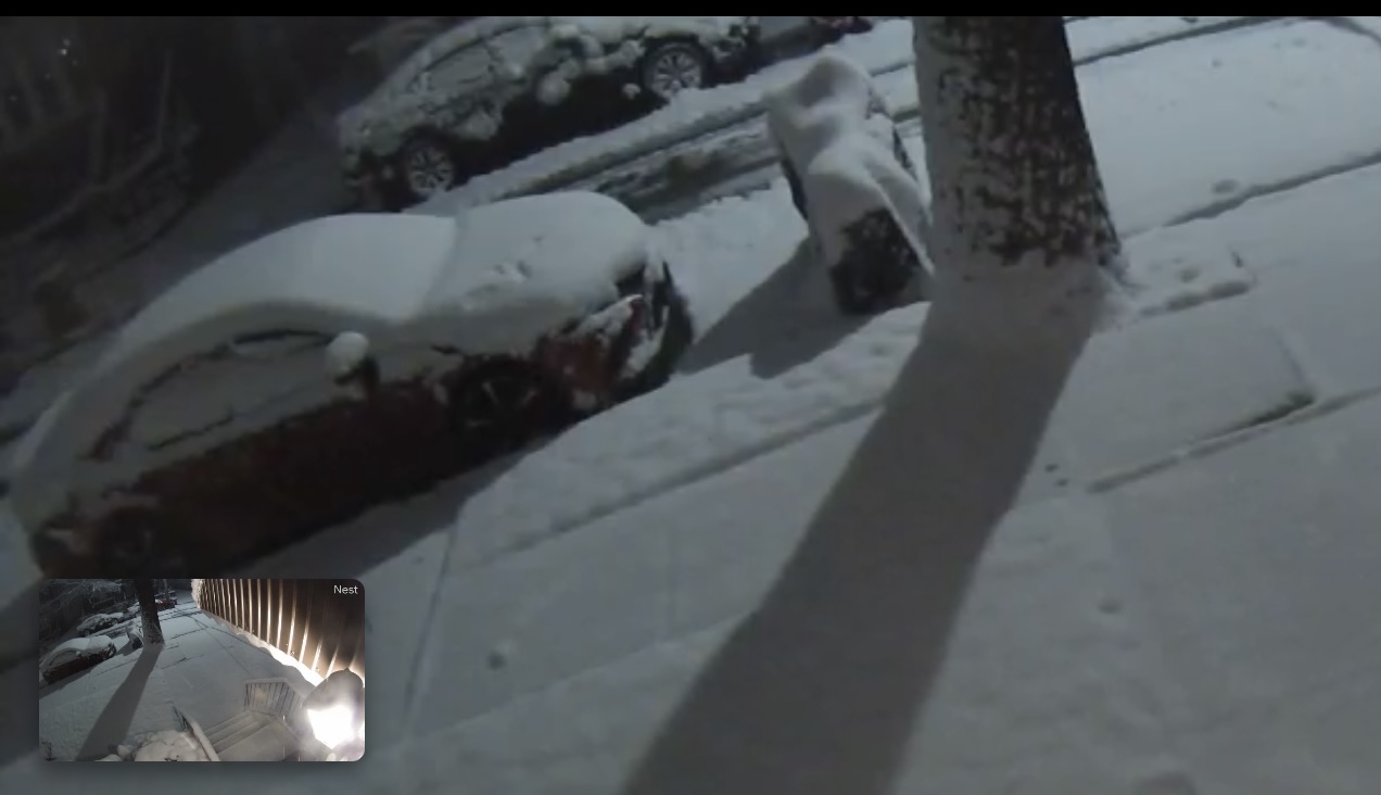
Got to be at least 4 inches judging from the cameras outside my house here in southern Brooklyn -
Still mostly rain here in Sheepshead Bay Brooklyn
-
Hearing pingers on the window a/c here in Sheepshead Bay Brooklyn. 37/31
-
.97 in the bucket at my place so far
-
.97 of rain at my station so far
-
light-moderate freezing rain at my work location in Jamaica Queens. Anything not treated icing up
-
Definitely more tidal flooding today than the last storm. Meadowbrook Pky, Wantagh Pky near Jones Beach under water. Parts of Howard Beach and Broad Channel under water along with a couple of blocks of Cross Bay Blvd in Queens. Edit: Island Park LIRR station also flooded.
- 90 replies
-
- 2
-

-
- flooding rains
- damaging wind? squalls?
- (and 2 more)
-
Winds really picking up now. No rain reaching the ground yet here despite the radar returns.
-
Two Mdt to high impact events NYC subforum; wknd Jan 6-7 Incl OBS, and mid week Jan 9-10 (incl OBS). Total water equiv by 00z/11 general 2", possibly 6" includes snow-ice mainly interior. RVR flood potential increases Jan 10 and beyond. Damaging wind.
weathermedic replied to wdrag's topic in New York City Metro
That squall line is bowing a bit in southern NJ