

rimetree
-
Posts
1,646 -
Joined
-
Last visited
Content Type
Profiles
Blogs
Forums
American Weather
Media Demo
Store
Gallery
Everything posted by rimetree
-
2 inches of fluff. Snow piles are growing. 24F
-
Winding down. 3.5". 27F
-
Coming up on 3 inches. Should be within 3-6 forecast range. 28F
-
Light snow, 33F
-
Toned down Feb 2015
-
Nice little burst of snow. 28F
-
Just did some more shoveling. The sleet added on top has made the pack pretty stout...might keep it until some time in March. 32F
-
Ping fest here at 30F
-
14.5 inches as of this morning. Still 29F
-
Up to 10" now. Temps steady at 29F.
-
Reggie still pimpin the Gulf of ME low tomorrow afternoon/evening.
-
Pouring snow. Guessing about 4 so far. 29F
-
Underway here and intensifying pretty quickly. 30F
-
Wrapping up the month with 4 inches of snow and the coldest temp on the last day of the month (2F this morning).
-

Watching closely .. February 1-3rd for moderate to major coastal event
rimetree replied to Typhoon Tip's topic in New England
Re-ignites in the GoM for the ENE/NNE folks -
Watching closely .. February 1-3rd for moderate to major coastal event
rimetree replied to Typhoon Tip's topic in New England
NAM did pretty well with the inverted stuff earlier this week at 2-3 day lead but wonder how well it handles something like this. Hope it has the right idea. -
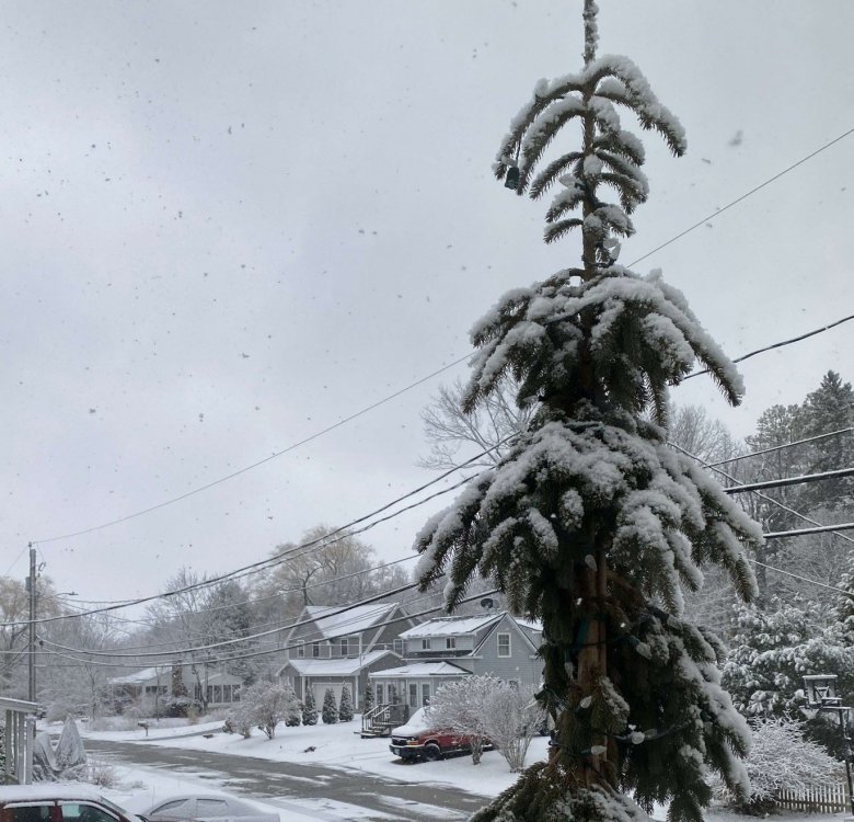
Pretty morning with snow covering trees. Grabbed an inch overnight and picking up again now. 32/30
-
Small flake size but it's definitely coming down more steadily now.
-
Coated back up out there and it looks mostly "under the radar" type stuff in from the ocean. 33/30
-
Snowing lightly here. 34/30 About an inch so far...maybe more tonight.
-
Pretty meager so far. Maybe 3/4" down. Hopefully this fills in later with some IVT action tomorrow. 28F
-
NAM FTW
-
I'll sign for the GFS. Even gets a couple inches here by mid-week.
-
No obs thread for today but I'm getting some flakes. Now up to 16.00001 inches on the season.
-
At this point just some sustained cold would be nice and hope something pops. Tired of mud season in January.

