WxUSAF
-
Posts
28,422 -
Joined
-
Last visited
Content Type
Profiles
Blogs
Forums
American Weather
Media Demo
Store
Gallery
Everything posted by WxUSAF
-
I think it bounces around as much as anything in mid and long range, but it’s pretty deadly inside D5
-
-
Nina’s are exhausting
-
If it wasn’t 48 when it started, we would have definitely gotten a couple tenths in a matter of 3-5 minutes. Temp dropped to 37.
-
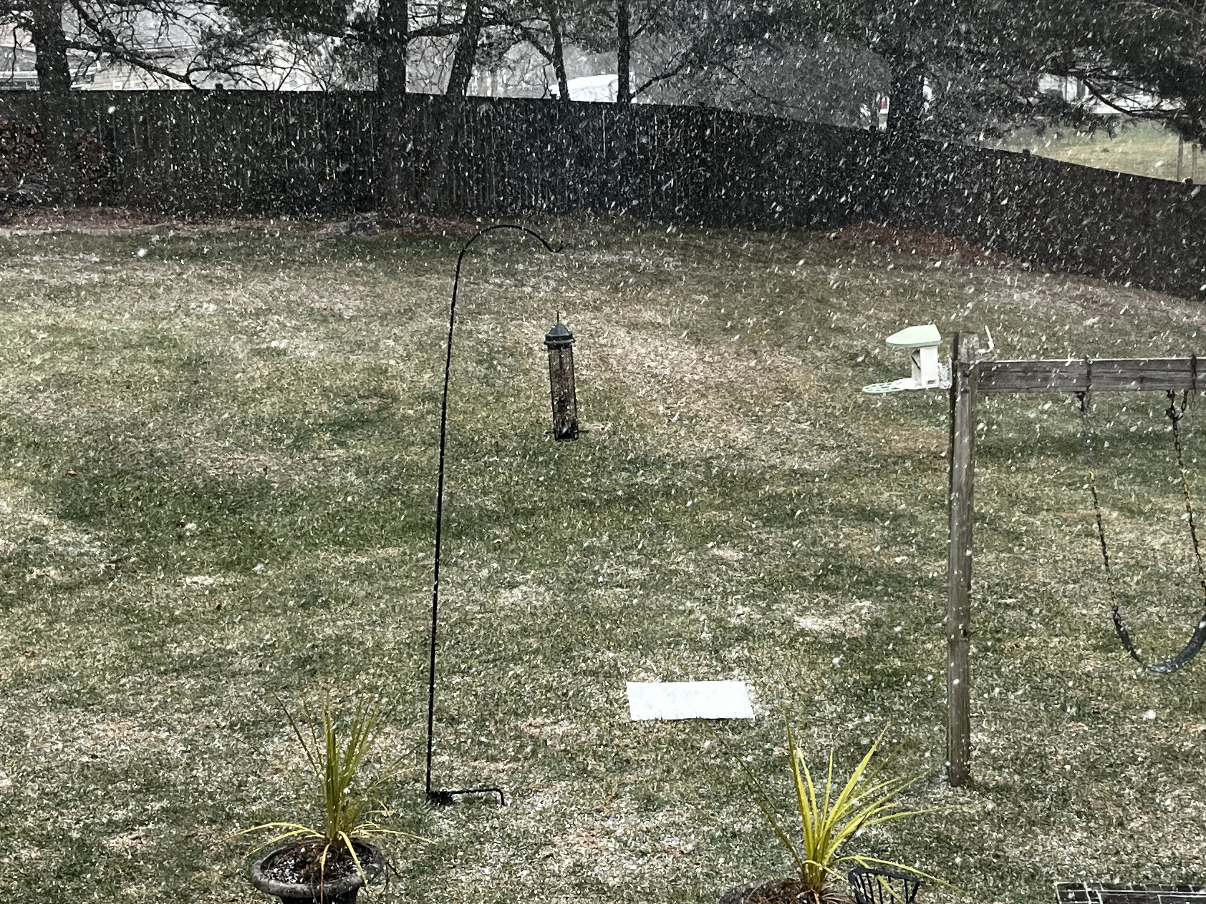
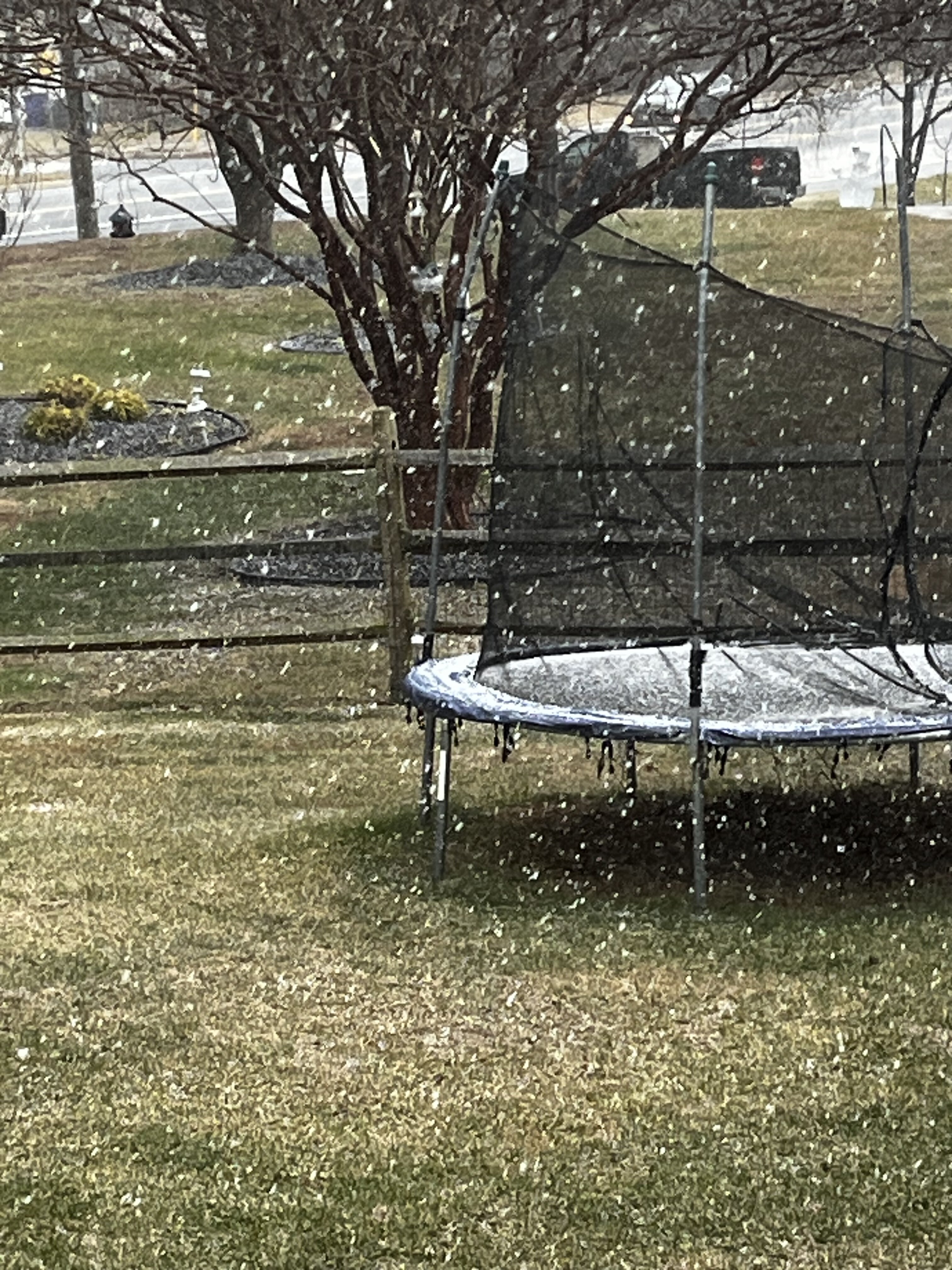
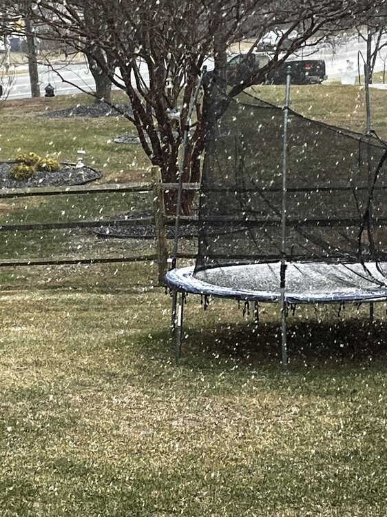
Instant mini dusting

- 776 replies
-
- 10
-

-

-
Ripping snow and graupel
-
Since the 12-20” idea that one GFS run threw out is obviously gone, we’re trading between the former Euro AI idea of a widespread 1-3” for this solution where some lucky spot may get 6-8” and some people are going to get almost totally skunked.
-
Just had some flakes with temps of like 48
-
Off the top of my head I can’t think of a great analog for this, but I don’t have the photographic memory that @psuhoffmanand others do. I’d guess New England has some experience with these? But you’re looking at a ULL deepening and capturing a surface low basically on top of us. So this is all dynamics driven with strong upward motion. There’s no great moisture feed off the ocean, no WAA or CCB well defined. So I guess we’re looking at where the best lift from the jet streak exit region and the ULL falls? Maybe there will be some frontogen at like 700mb that will produce some of those higher totals? It’s totally a Nowcast. 1-6” would be a reasonable range.
-
This is totally a thoughts and prayers event. 80% going to be broken hearted. Don’t think I’ll be relaxed until I’m shoveling. If we could be objective though, it’s potentially a really cool event to watch just from a dynamics perspective.
-
Storm thread gonna be a scene with a GFS/euro type outcome lol
-
That really was PD2 and then some. 2’ down and way more to come lol.
-
Storm thread for Thursday/friday going to be meltdown city if it plays out like the overnight runs. Waiting for a changeover from rain….blobby precip field, a few people getting raked while others get flurries…oh man it will be rough.
-
A 1 county sized jackpot zone surrounded by a 1-3” region the size of Delaware lol
-
Yeah I think there’s southern stream involvement, but less than it looked like a few days ago.
-
This is what I’m saying.
-
It’s got to dig and explode on top of us basically.
-
Having snow with a storm that’s basically over the Chesapeake is a rare thing. It’s mostly because it’s capturing the surface low and deepening right on top of us.
-
SE ridge has been over modeled for 5 months. It’ll change eventually, but I’d bet on persistence until then.
-
Don’t want to Deb and I haven’t been able to look at closely at any 12z guidance, but I still think a good ULL passage is a simpler and cleaner way to a 1-3” maybe 2-4” type event. Multiple phasing shortwaves in a Nina with a kicker in the mix and no upstream blocking to slow things down seems like a recipe for last minute heartbreak. Throw in a mid precursor airmass. You know I’m rooting for the unicorn, but I’ll take a simple layup.
-
Riding the Icon and GFS? What can go wrong. GFS shows the Mt PSU jackpot though which seems like the most realistic part.
-
-
I mean, 6z isn’t too far off that idea actually
-
Gut instinct is that our best reasonable hope for Thursday/Friday is some widespread light snow with the upper level shortwave passage. This is pretty much the euro-ai solution.
-
@winter_warlock find the banter thread dude