WxUSAF
-
Posts
28,700 -
Joined
-
Last visited
Content Type
Profiles
Blogs
Forums
American Weather
Media Demo
Store
Gallery
Everything posted by WxUSAF
-
-
Hopefully by mid-January, our frustrated lack of patience will be a distant memory for everyone except @psuhoffman who will have total recall how many misses we had before scoring.
-
I come to Chicago in December and all I get is lake effect drizzle followed by synoptic rain
-
Does it ever NOT snow on Mt. Parkton??
-
Yo @mattie g, be on the lookout for emails from Fairfax Co schools today!
-
At this point I see no reason to think that a favorable pattern even begins to end the week after Xmas. We'll just have to see how our luck shakes out, but I'd be very surprised if we're skunked through New Year's. Note that doesn't mean that we get multiple KUs. I think monthly totals of 3" at DCA and ~6" at BWI and IAD would be "wins" and is eminently achievable with the pattern we have for the last 2 weeks of the month.
-
Definitely a window for a storm/storms before Xmas and this potential arctic airmass, plus there can always be some snow squalls along the arctic boundary as @BristowWx mentioned. Still think we need to clear out this week's big storm before we get any clarity on next week.
-
15-25F departures at D14 is pretty nuts. If there's some snow cover...
-
Yeah, that WAA ripped. I think the forecast was for like 6-9” or so with it and then a bit more with the ULL? ULL was basically as advertised but the WAA overperformed for sure. Yes the daytime drizzle and 35F melting was annoying but not too bad.
-
I got 18” out of that split between 14” in the WAA and then 4” with the ULL in the evening
-
@AtlanticWx and @DarkSharkWX, appreciate your contributions as new members
-
I remember a few, but nowhere near your recall. I remember the end of Feb 2010 and the start of Feb 2015 smoking New England. A few others that looked good from range and turned into nothing (early January 2018).
-
@psuhoffman your photographic memory of our failures never ceases to amaze me lol
-
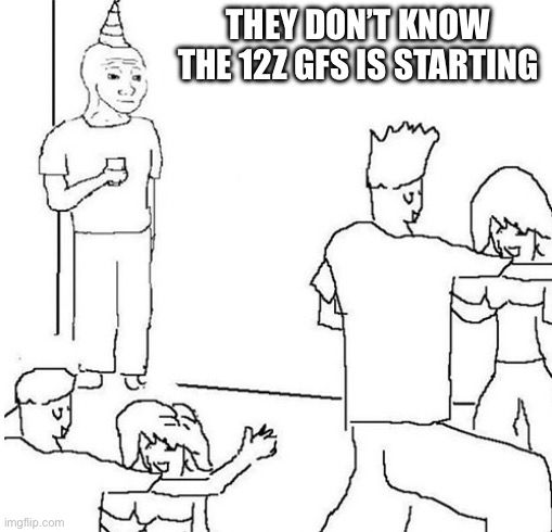
GFS is clearly locked in. Sharpen the shovels. Let’s gooooooooo
-
IIRC, that year we had the -EPO rocking, but also a super ++NAO much of the time as long as the pERleR VerTeX didn’t pay us a visit. So that could give us more space for storms to slow down.
-
Euro looks pretty ripe to me post D6. Didn’t come together, but active pattern with cold air.
-
Mountains are going to cash in with upslope the next 10+ days in almost every scenario
-
I would pay grotesque amounts of money for the GFS to be right.
-
As you know, the rule of thumb is once the surface low is north of our latitude, the precipitation shuts off in these situations. What could keep it going is lift generated by the 500mb low, which euro does seem to show.
-
Miller B wraparound! Always a winner for us
-
This. Things look ripe after this big storm passes. Plenty of cold air and continuing energy moving into the southwest. Very Nino-like. Just a matter of how things time up and where they are located.
-
To somehow stay majority frozen for us we want that coastal capture by upper level energy as far south and east as we can get it. That capture will yank the low NW like the GFS shows. Combine a Midwest primary with a warm ocean and it’s really hard to keep the column below freezing.
-
Kaiser says NEIN although probably some eis if I can interpret from TT charts. Dat storm after the storm tho…
-