

WxUSAF
-
Posts
28,708 -
Joined
-
Last visited
Content Type
Profiles
Blogs
Forums
American Weather
Media Demo
Store
Gallery
Everything posted by WxUSAF
-
Possibly a few tiny snowflakes in Columbia
-
Thunder in Columbia
-
Aside from the fact that its lobbying is helping to keep people have to keep filing complex tax returns, TurboTax’s software is just shit.
-
40F with light rain. March!
-

What Went Wrong in Winter 23-24/Base State/Will It Ever Snow Again??
WxUSAF replied to WxUSAF's topic in Mid Atlantic
-
March is #TheWorst!
-
2024 Mid-Atlantic Garden, Lawn, and Other Green Stuff Thread
WxUSAF replied to mattie g's topic in Mid Atlantic
Maple buds are really starting to show. Cherries too. -
Don’t know about snow, but I think a few hard freezes seem likely. Plenty cold to kill the magnolia tree blossoms that are going to come out next week probably…
-
Gorgeous sunrise alert
-
Despite a dry February, I think we’re pretty good with a major AN December and January. Plus guidance suggests 2”+ over the next 10 days after today’s rain. But I remain ever vigilant
-
I’m on drought watch for summer
-
I dunno…seems like this is going to be a second major underperformance on totals. 18z 3k NAM yesterday had me at 1.25” and globals were pretty uniform around 0.6-0.8”.
-
89-90, 95-96, 10-11 top analogs.
-
Happy dumbest month of the year!
-
Low of 26 to start March
-
Precip totals underperformed yesterday. CoCoRaHS mostly in the 0.1-0.4” range through the metro corridor. Only places above 0.5” in southern MD, lower Delmarva, and down toward RIC.
-
Have some work to do to get the 0.5-1” totals that guidance has been advertising.
-
Thanks chief
-
^Dear lord…what month is it!?
-
She told me she’s out as of an incident in late January
-
I am once again asking meteorologists in the media to stop normalizing above normal temperatures
-
I’d bet my retirement that 95-96 will be one of his top analogs
-
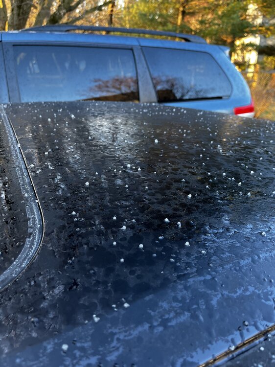
Apparently I had sleet this morning
-
Low of 21


