LP08
-
Posts
3,709 -
Joined
-
Last visited
About LP08

Recent Profile Visitors
10,262 profile views


-
That Stafford storm is close to trying to do something….maybe
-
The wait is painful….i am your meme
-
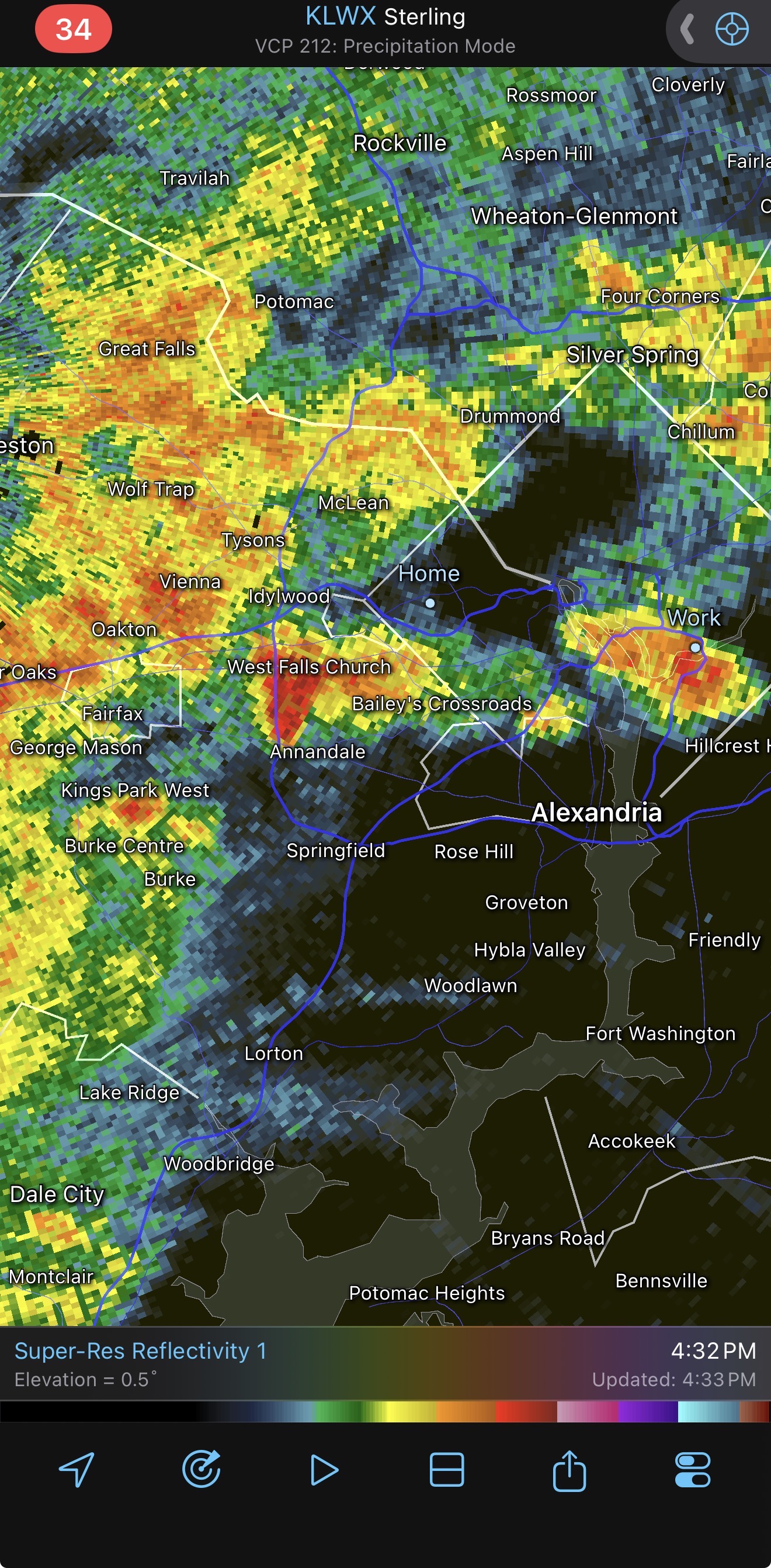
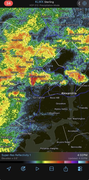
Some videos popping up out of Burke look pretty gnarly. Maybe a microburst?
-
Has to be some hail in there too, some 68dbz pixels showing up
- 1,011 replies
-
- 1
-

-
- severe
- thunderstorms
- (and 7 more)
-
Losing the 3k is unfortunate. In the few times looking at the RRFFFSSSS, the 3k was much more "correct". Losing the acuracy of mixing with be a real forcasting crunch.
-
Hail here in Arlington!
-
 Warned now
 -
Would think so.
-
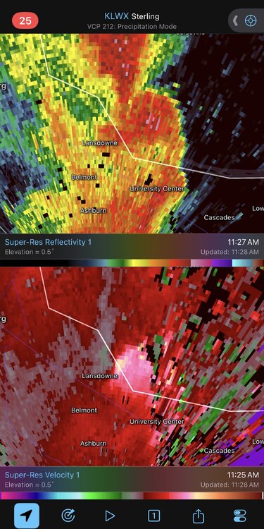
Tor watch for basically all of LWX.
-
Absolutely pouring in that thin line over the beltway.
-
First time losing power in a while here it Arlington. Very windy
-
Some street slushy-ness. Starting to taper off a bit. 0.75.
-
Trying to get to 0.5” on the deck railing. I was sweating on my 5:45 walk to the metro lol. One of the craziest weather days experienced.