weatherwiz
-
Posts
79,817 -
Joined
-
Last visited
Content Type
Profiles
Blogs
Forums
American Weather
Media Demo
Store
Gallery
Everything posted by weatherwiz
-
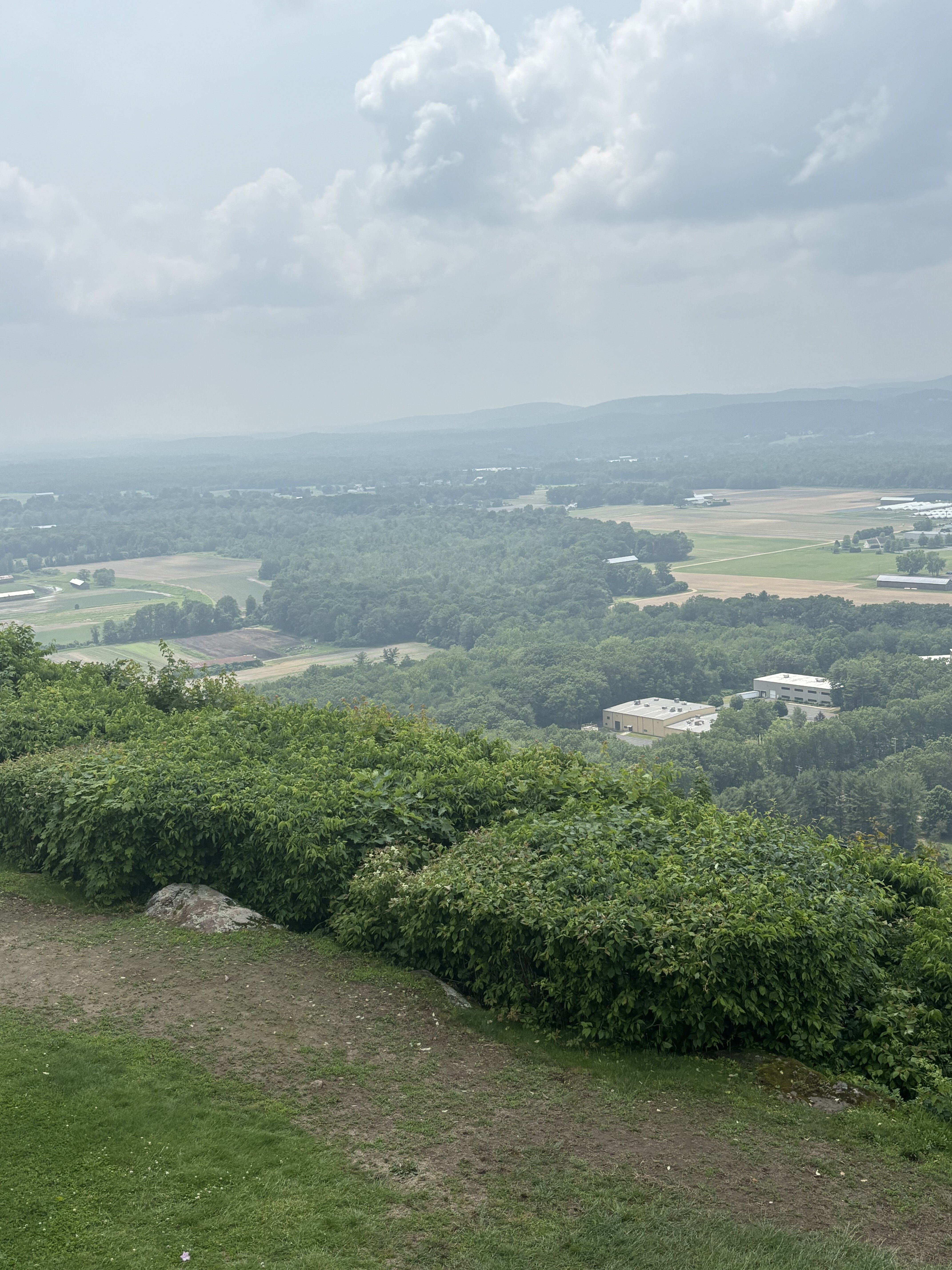
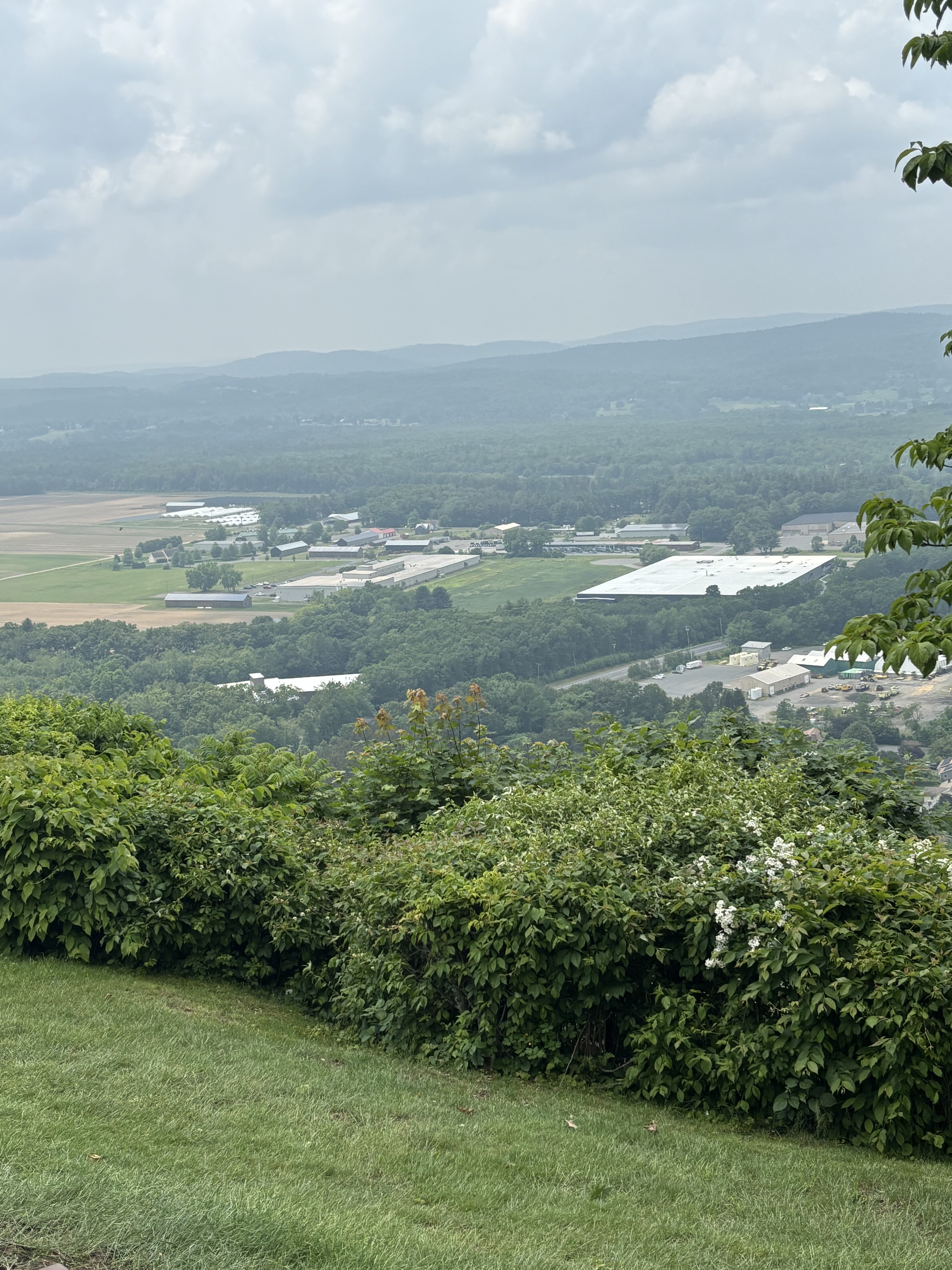
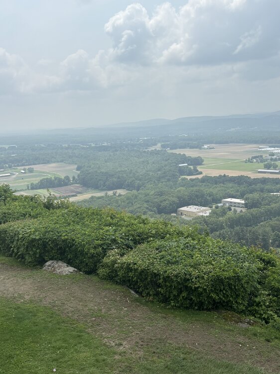
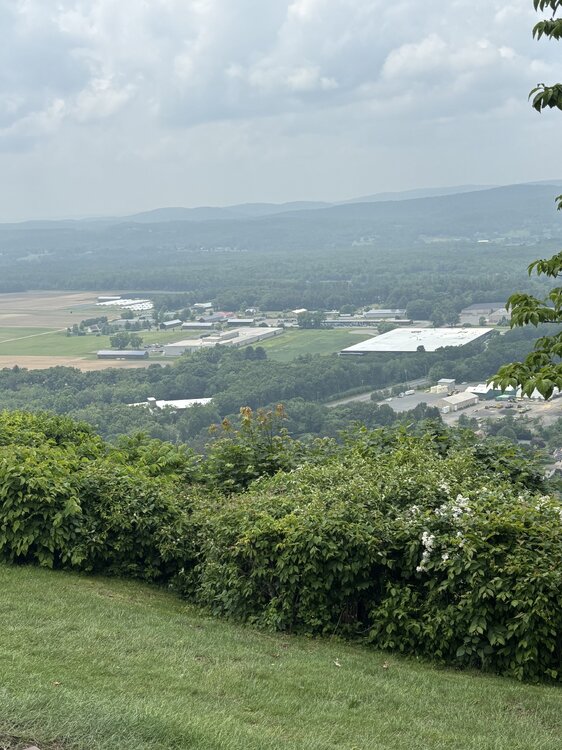
Smoky/hazy from Sugarloaf
-
If we can muster any breaks of sun in the morning there is some room for some localized strong storms early afternoon. Looks like we'll see a line of rain and embedded thunderstorms moving through so any breaks of sun there could be an embedded strong strong or two.
-
That’s freaking awful
-
I’m in the parking lot of the package store and afraid to get out
-
HOLY SHIT. super close CG strike…heard to instant booms right after, sounded like bombs went off.
-
I spent $0 on gas. Didn’t even go 1/2 tank
-
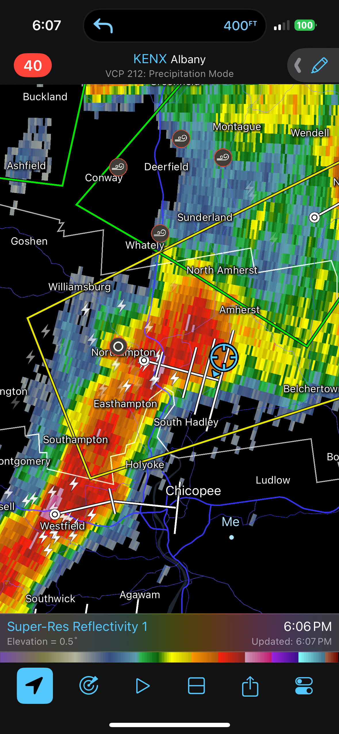
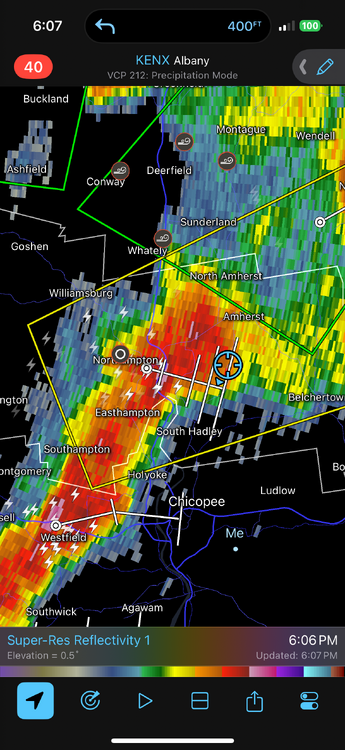
Back in Springfield now. What a day…what a beautiful, fantastic, AWT type of day. This worked out to a T…perfectly. Saw so much lightning and thunder, drove through some of the most intense rain I’ve ever driven through (even had some strong winds)…totally forgot where we were at. But had to pull into a shopping plaza lot. Now getting more rain and lightning!!!
-
New spot
-
Let’s try this again
-
Considering headed south towards Amherst and see if that southwest stuff spikes but have to act quickly
-
Ughhh it fell apart. Ridiculous
-
Hairs on my head and neck slowly rising up
-
This will be close

-
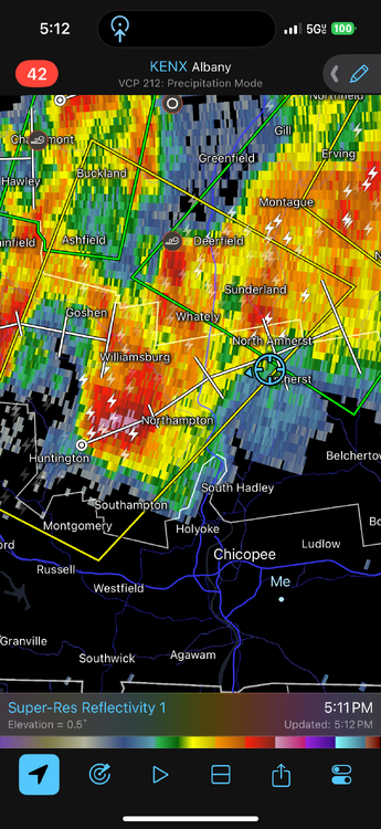
We might get the core. I want to get nailed with this core. So much thunder…rumble after rumble after rumble.
-
I love me

-
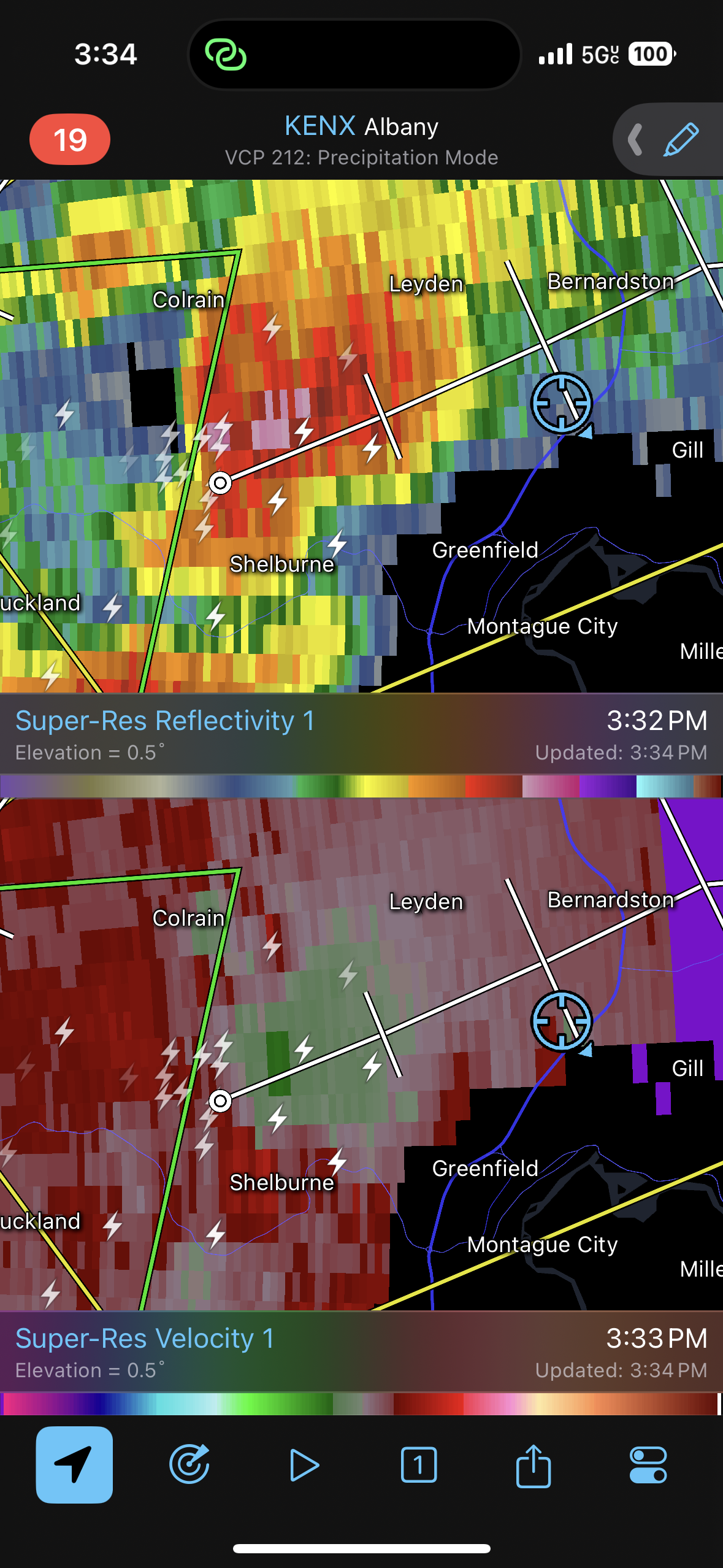
Went to Bernardston
-
October...hockey, falling leaves, and Aaron Judge strikeouts.
-
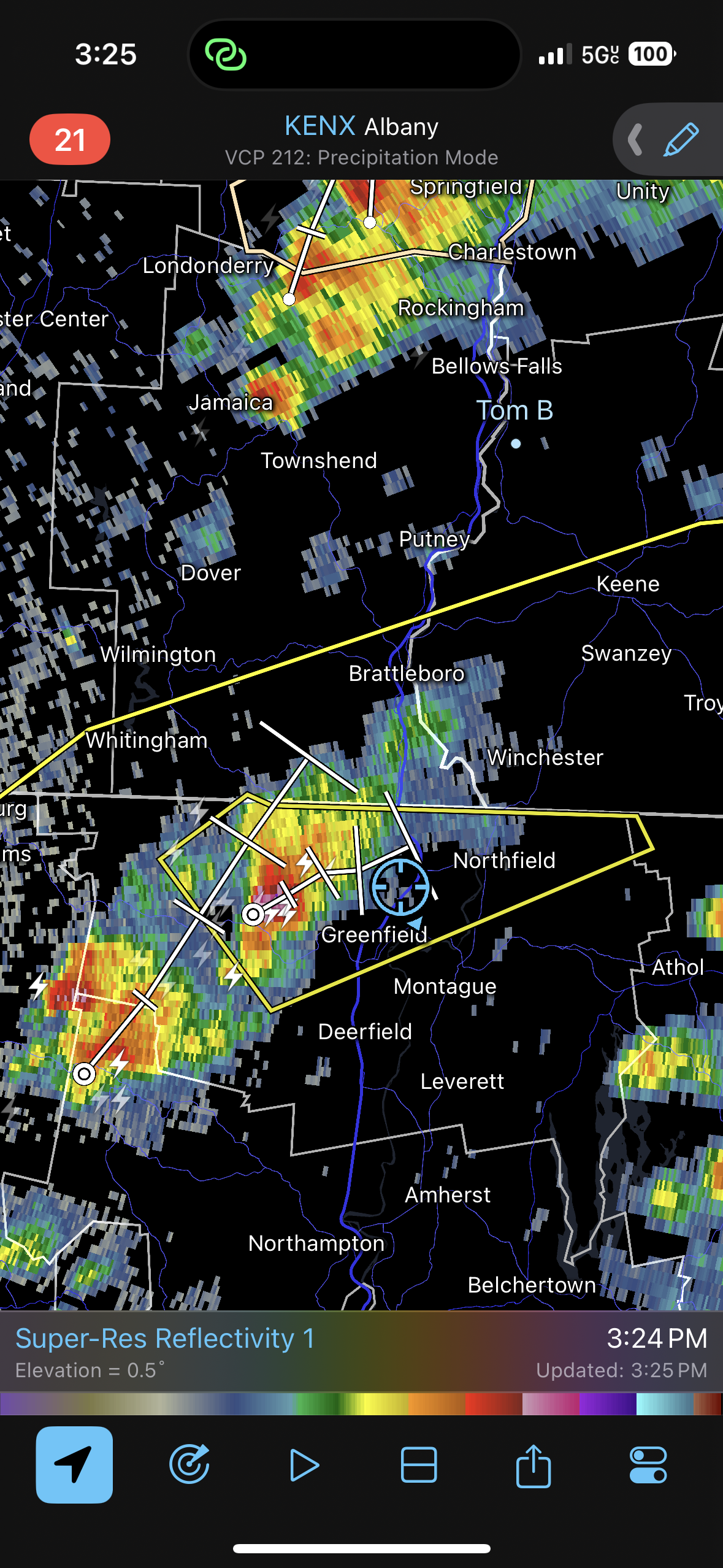
Actually going to go to Northfield, MA.
-
well going to make a move towards Ringe. That may be a bit too far north but it seems like that area (especially just south towards fitchburg) will have the best aerial coverage of storms.
-
that's pretty wild holy crap
-
The upcoming pattern isn't going to feature sustained heat/humidity. It is going to be an active patterns with fronts and shortwaves. With this, we'll get some hot/humid days mixed in, especially ahead of systems followed by a return to more seasonal conditions. Our perspectives of what should be happening are way out of whack. This looks like a much more typical stretch of weather for this time of year. We shouldn't be building in extended heat/humidity regimes early or mid-June. We should still be active with fronts and varying between a few days of heat/humidity followed by several days of seasonal weather. Building in extended heat/humidity shouldn't really happen until you move into and through July.
-
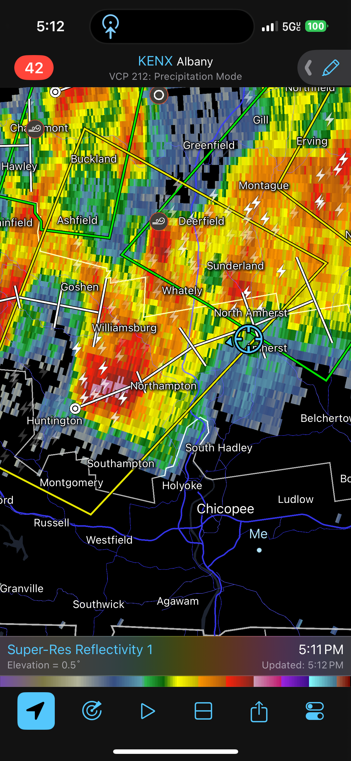
mesoanalysis isn't looking bad at all. In fact, shear is even "slightly" better than I thought it would be. Looking at the 12z ALB sounding, it looks like there is a little wind max between H5-H7 rolling through which is enhancing vertical shear a bit.
-
Have to watch next Friday/Saturday for some severe potential...been a signal for a few days. I think we get one hot day end of next week ahead of the front but have to watch warm front.
-
Thinking of going to Ringe, NH as a spot...there is a place with some decent views there. But I am thinking the area from Rindge/Fitchburg/Leominster may be the "best" local corridor today. Right along the instability axis and somewhat stronger (still meh) wind shear. What is our goal for today? See some CGs and hopefully a shelf cloud.
-
That’s why I was originally thinking remaining along CT/MA border. Unfortunately, this may be the “best”/only opportunity of vacation so have to roll with it. Maybe Tuesday can offer something or next Saturday but too far out.