weatherwiz
-
Posts
79,817 -
Joined
-
Last visited
Content Type
Profiles
Blogs
Forums
American Weather
Media Demo
Store
Gallery
Everything posted by weatherwiz
-
I almost spit out my coffee when I saw CEF was -10 lol. I really didn't pay attention to how low temperatures could get last night so I was totally off guard. I mean I knew it was going to be frigid but not -10 frigid. If someone had asked me what the temp was outside I maybe would have said single digits...but it makes total sense now based on how quickly the cold ate me.
-
Man what was going on in 1899? looks like a super strong EL Nino. so I guess super strong EL Nino's back then weren't country blow torches.
-
I actually had no clue it was as cold as it was. I was outside clearing off my gf car because she had to go out and I'm a frozen popsicle...the kind that's been in the freezer for a year and is freezer burned, that is me. I can't feel my feet. I didn't even have gloves on at one point but when I went back out I put some on. If I knew it was around -10 I would have worn boots and two layers of socks...UGHHHHH
-
THIS IS BRUTAL...THIS IS AWFUL...NOT FUN. FAKE, REAL, WHO CARES. THIS NEEDS TO END
-
I wonder how many local mets down there had to brush up on winter weather forecasting
-
I bet they get a historic snowstorm next year too...except it gets into southern Florida. The NHL is oddly doing outdoor games in Florida next January. I was betting on them like a crazy heat event with temps in the 80's but watch them get a snowstorm instead
-
I am also pissed, I for sure thought we would see some potential this weekend...i said no shot of anything going OTS....FOOKING FAIL
-
That is pretty wild. You would have thought thundersnow down there would be associated with some extreme mlvl instability...nope, due to extreme lift and crosshair sigs
-
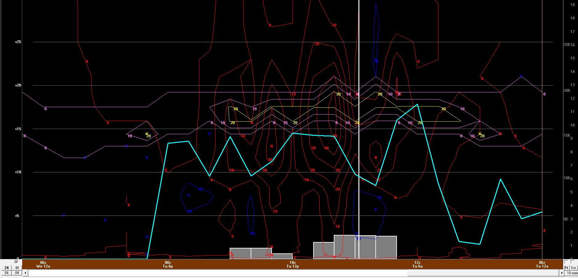
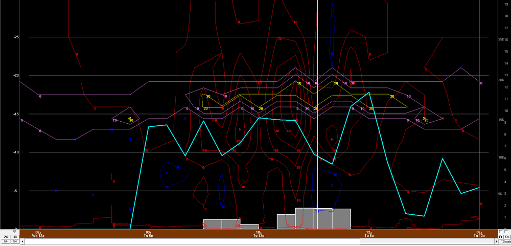
This was the 16z HRRR for MSY. This is sexy, much sexier than snow maps.
-
A 7" report in Johnson Bayou, LA...essentially right on the Gulf Coast
-
I'm surprised MSY is still open. Obviously nothing operating into/out of but shocked they didn't announce a closure.
-
I hope this bitterly cold doesn't screw up the Gulf of Mexico too much...I want 70's dewpoints in here by May. But hey...the deep south steals our snow, maybe we'll steal their severe
-
Already looks like 1-2+ in/around New Orleans
-
7" report from Hayes, LA!
-
I'm sure we'll some some whacky totals because people are measuring drifts
-
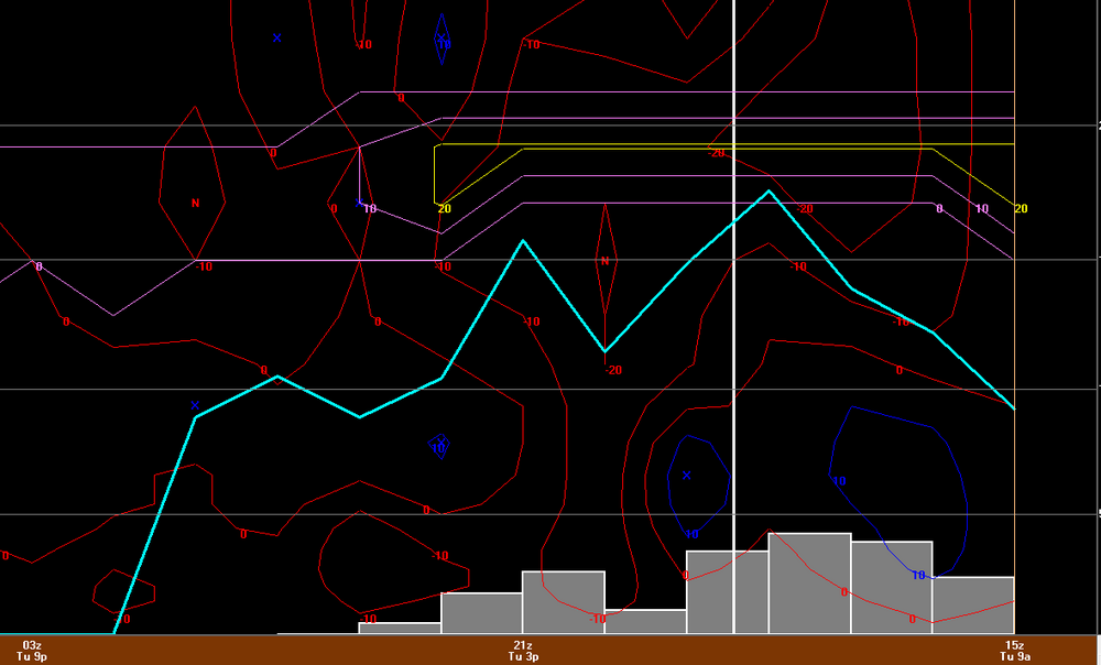
6z NAM bufkit has about 10-11" for BTR GFS not too far behind
-
They must think the world is ending
-
4.5" report in Grand Lake, LA...a bit less than 20 miles from the Gulf.
-
Are people freaking out there?
-
could be a different story in northeast Florida/southeast Georgia. I'm still thinking we see some ice storm warnings at some point. Maybe with PM package
-
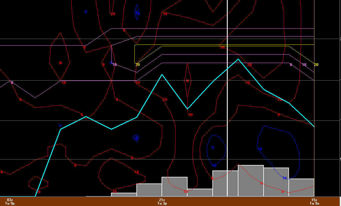
6z NAM for LFT
-
This is epic
-
I was just going to make a post and say the radar there looks better than anything we've seen here (winter wise) in a while
-
Ehh you know what let’s just keep this brutally cold stretch we’ve been in through February. It will make that first 60’s and 70’s in March AMAZING
-
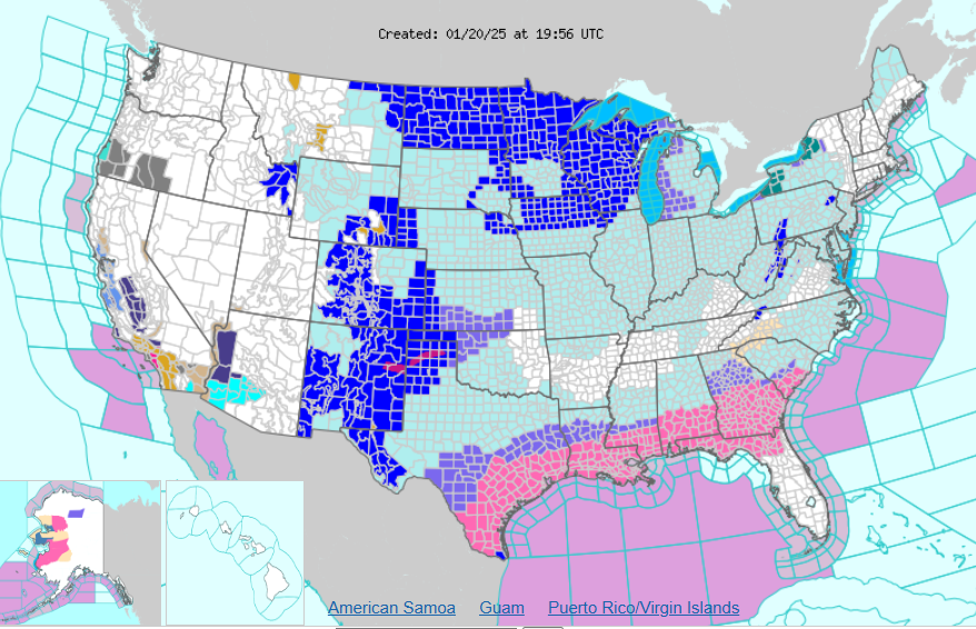
More added now. Curious if we see any ice storm warnings in southeast Georgia and Florida Panhandle.