weatherwiz
-
Posts
81,150 -
Joined
-
Last visited
Content Type
Profiles
Blogs
Forums
American Weather
Media Demo
Store
Gallery
Everything posted by weatherwiz
-
It lightens up for a bit and then back to a moderate rain.
-
This rain is RELENTLESS. Been a moderate rain much of the day with some periods of light rain.
-
yup...miserable today. Not sure what time the rain started here but took the dog out around 6:30 AM and it was raining pretty good.
-
Later today I am going to make a special thread for what is upcoming...focusing on convection but there will be other goodies
-
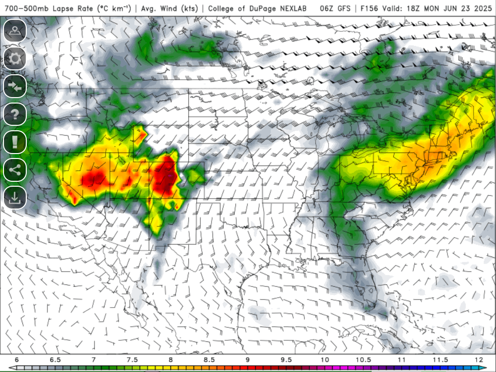
At least on the NAM anyways...pretty big differences between GFS/NAM with the thermodynamic environment due to whether we can get that EML plume to move through. It's possible the environment across the Great Lakes/Ohio Valley region becomes convectively overturned but NAM has ~1500 J MUCAPE traversing the region overnight...not bad
-
Could see a few thunderstorms tomorrow night make there way in from PA/southern NY. Pretty good elevated CAPE around if storms can hold
-
Too bad no vort coming through

-
Those that didn't install are going to be in deep, deep trouble. Time is running out folks. Once this heat/humidity comes it isn't going away for quite some time. You've been warned
-
This is what we live for
-
Yeah that could be the case. Have to watch what 925/850 dews are like too. Despite the WNW flow there will be 70's dews well into the upper-Midwest and into Canada there...so while we naturally would mix down with a WNW flow it will be a question of how much can we mix them out...of course too any fronts or sfc troughs where we get sfc winds more WSW will help pool dews a bit
-
It's brutal...and if you get anything other than like one item, they usually make you go park and someone will bring the food out to you lol. Probably a means so they can "increase" their drive thru time. But the times are ridiculous at any drive thru place...but I think its just because those places are so understaffed.
-
You can't really call it fast food anymore. The wait time getting to place your order, then the wait time to place the order, the wait time to get to the window to pick up, and the wait time at the window for the food...its like 7-12+ minutes.
-
No, I may have to stop by McDonalds after.
-
THEY HAVE DOUBLE????
-
Unfortunately, unless something makes its way into Connecticut I will not be able to go around chasing Thursday, back to work. For my two weeks next year though, it's definitely going to involve going out west. Just have to pick the two week period. But if I am ever going to do that, well that has to happen very soon.
-
We better get 90’s and 100’s into September. This is fooking awful
-
He didn't say that...he just said what was exciting about the sounding you posted
-
Of course GFS with a solid severe setup for Thursday
-
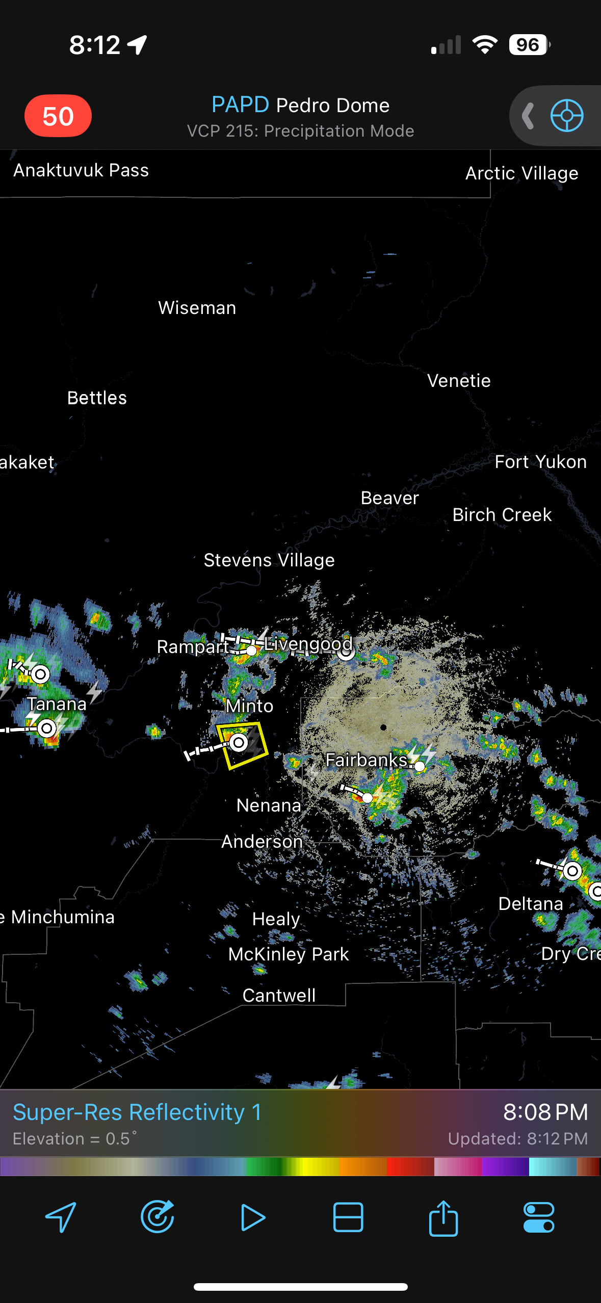
Heat advisories within Alaska.
-
I wonder if we will ever see a high risk issued in the Northeast again
-
I did not
-
Is this going to be worth staying for? Or better yet…have to travel somewhere for. Saw K Index 7 or greater expected.
-
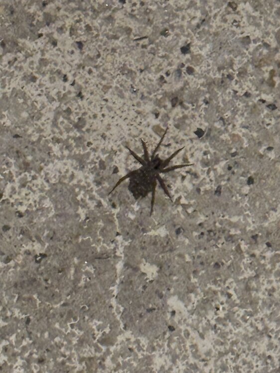
Pregnant wolf spider when I walked outside with the dog