weatherwiz
-
Posts
81,150 -
Joined
-
Last visited
Content Type
Profiles
Blogs
Forums
American Weather
Media Demo
Store
Gallery
Everything posted by weatherwiz
-
Not that I’ve ever had one but from what I’ve heard from people who have gotten them is the procedures have come a substantial ways over the last few decades. My boss from my first part time job had to have both knees replaced back in like the early 2010’s. He was back golfing within several months.
-
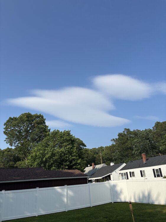
Oh wait…that is facing northeast though…Mount Tom is northwest
-
Wow don’t really see a lenticular cloud so far from a mountain…unless this is a fake lenticular look alike
-
and what a supercell there in Idaho
-
Looks EMLish
-
Just a quick glance but I would suspect something in the 85-87 range.
-
6z MAV for BOS tomorrow: 90 0z MET: 82 7z NBM: 84
-
Ahhh wtf they’re out of Fish Filet. Well that ruined a great day
-
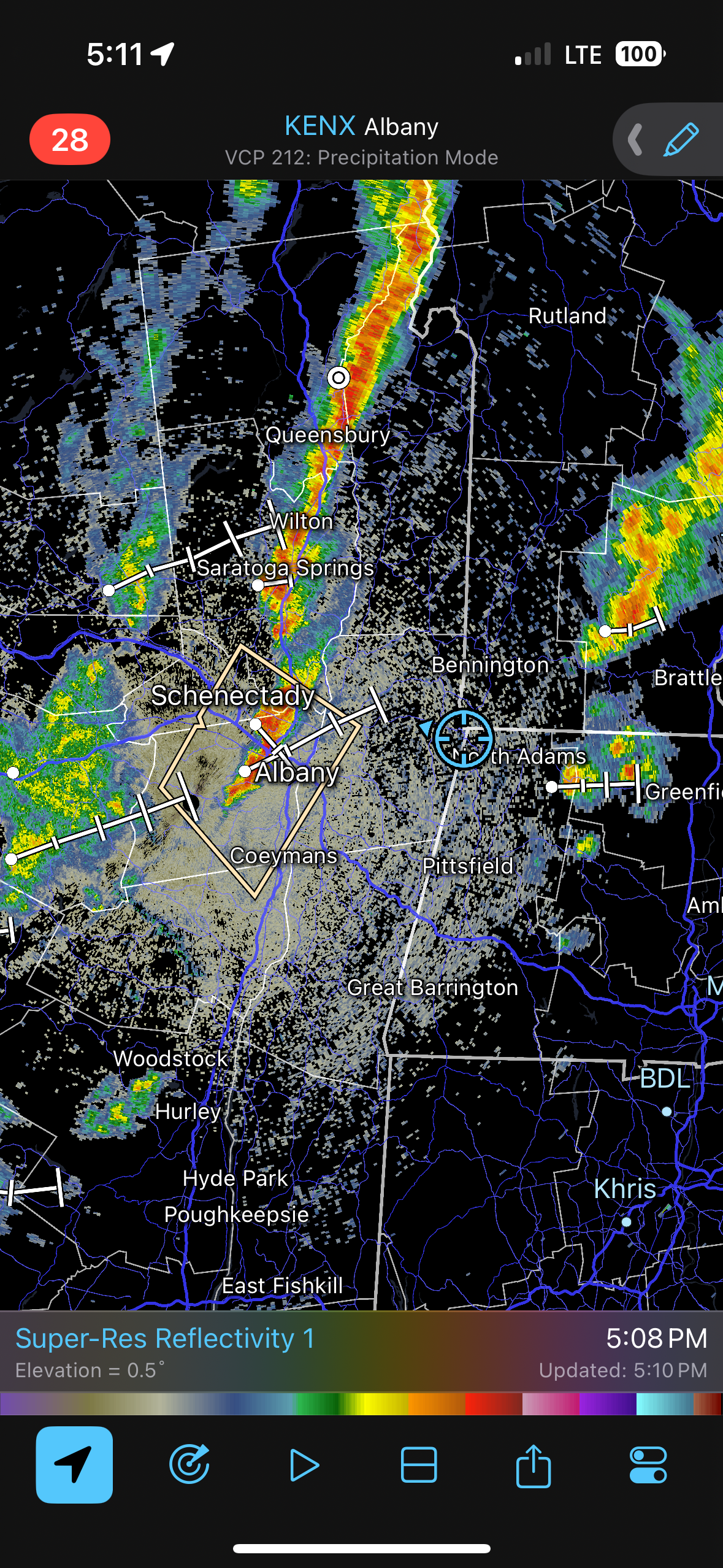
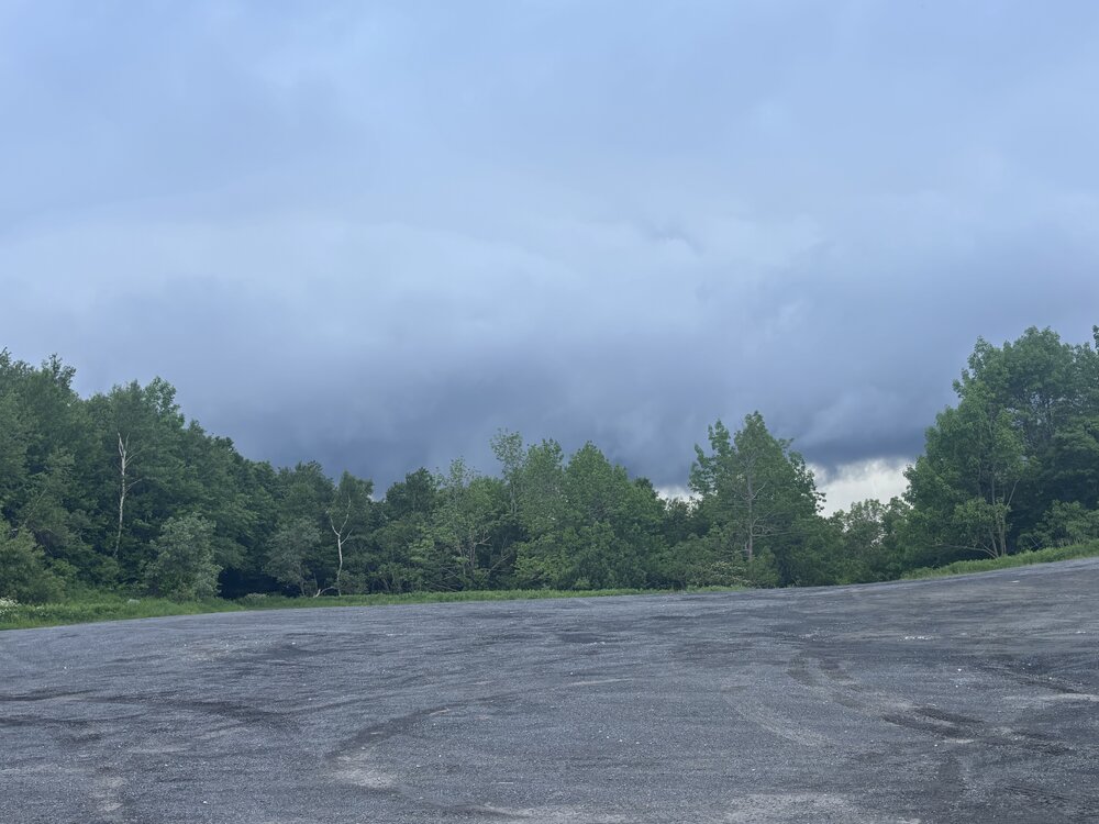
At the rest stop in Blanford. Gusty along the leading edge. Going to celebrate a fun trip with a fish filet meal from McDonald’s
-
Getting closer. It’s cool seeing air rising up into the storm
-
Seeing 45-48 mph pixels headed our way!!!
-
Hearing some thunder!! Must be CC lightning
-
Hoping for at least a few lightning strikes and 40 mph gusts
-
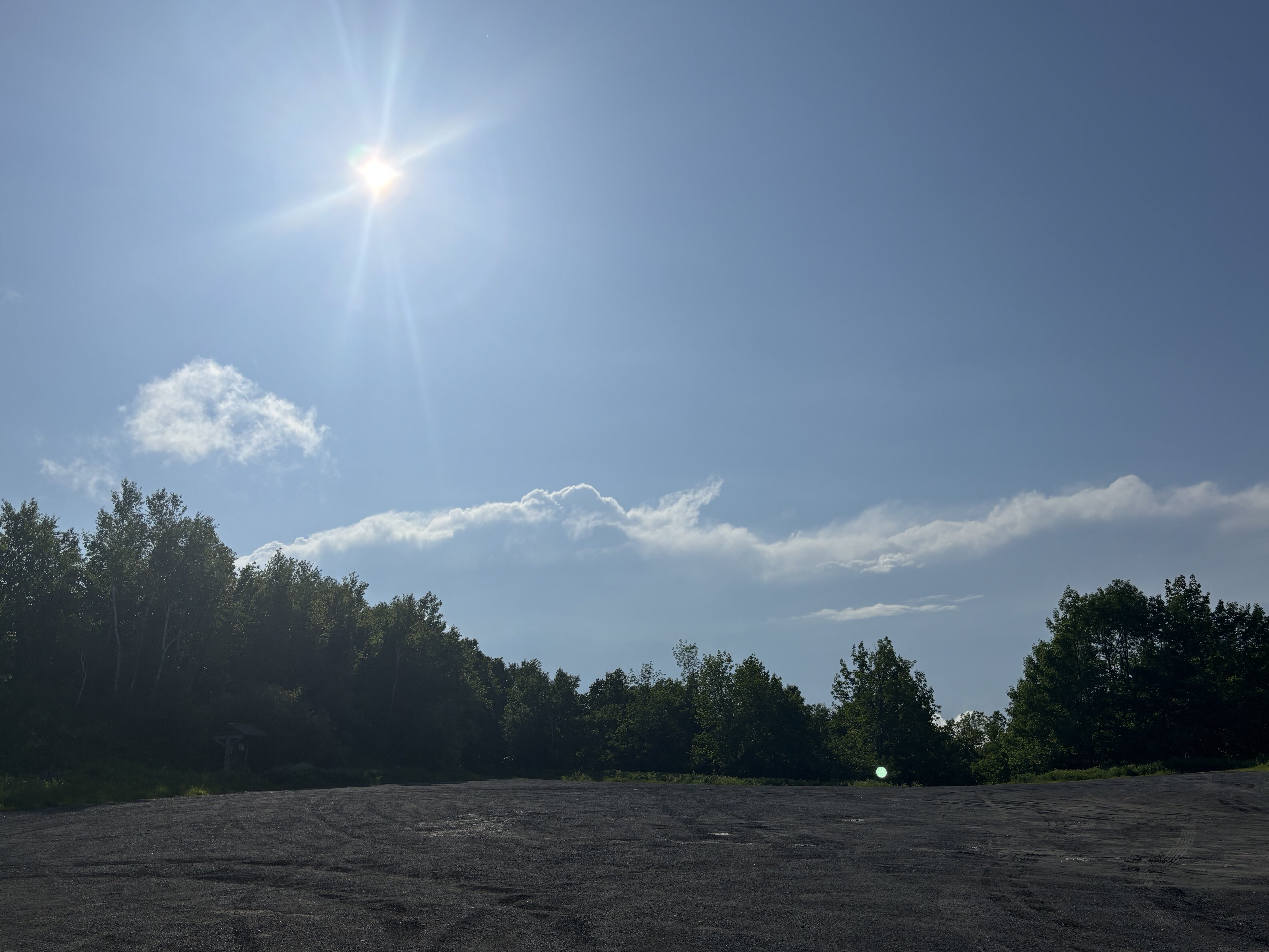
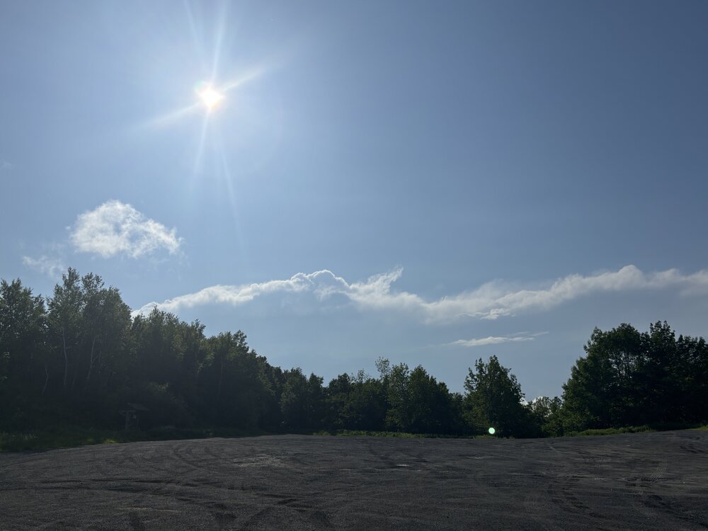
That’s our cute little storm off in the distance
-
Let’s go

-
Not going for severe, going for lightning
-
Headed out shortly. Going to Petersburgh, NY
-
Dons don’t wear shorts
-
That’s if I can ever get out of the stupid DMV
-
Probably headed towards Albany later…maybe just south or maybe a bit closer to NY/VT border.
-
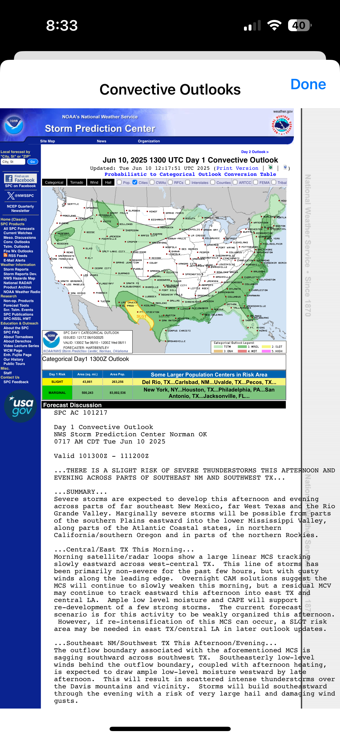
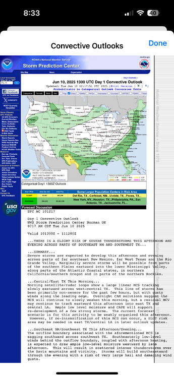
Happened one outlook earlier but AIT
-
Accuweather should just rebrand to Climoweather
-
Unfortunately, all I can do is live in fantasy land but the Euro and GFS hint at some big severe potential the weekend of June 20th.
-
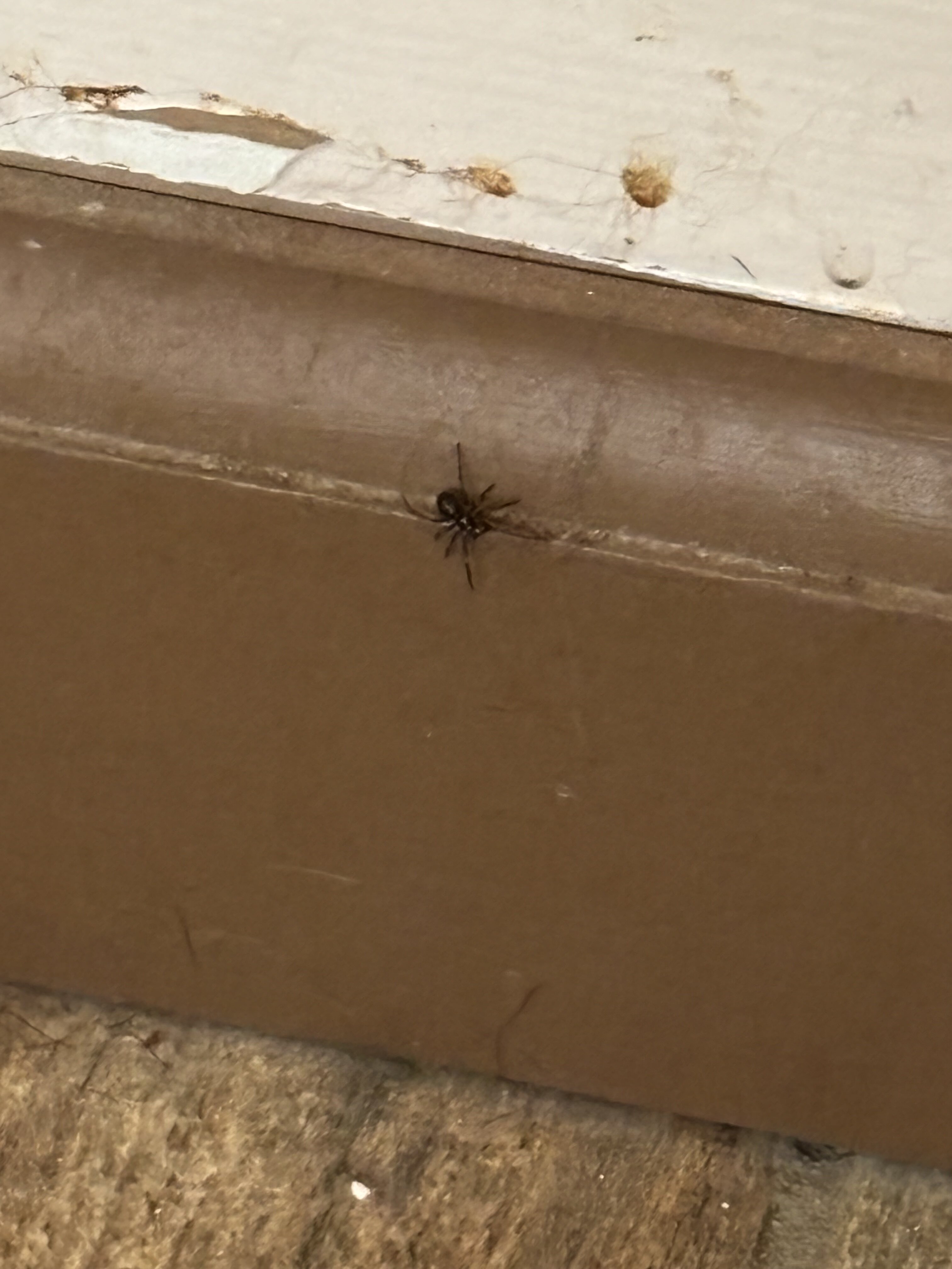
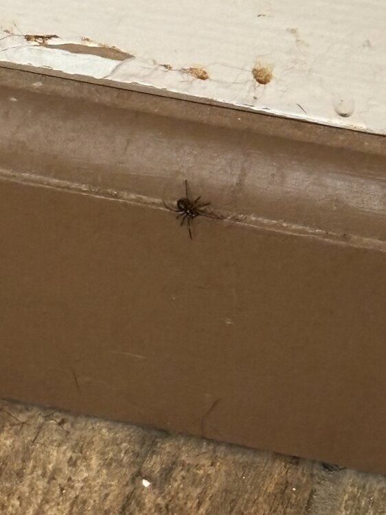
Was mopping and saw this at the base of the wall. Looks like a black widow
-
I'm bored....last few days of vacation for chasing so may as well utilize it. Was watching Twisters the other night along with what was going on in the southern Plains the last few days and I think next year is definitely going to be going out west. If I am ever going to make that happen it has to be in the next year or two.