weatherwiz
-
Posts
81,150 -
Joined
-
Last visited
Content Type
Profiles
Blogs
Forums
American Weather
Media Demo
Store
Gallery
Everything posted by weatherwiz
-
hoping to go into NW Berkshire county tomorrow...maybe up around Albany if it looks good for some lightning at least
-
eastern NY into Berkshire County definitely game on for a few strong thunderstorms late tomorrow afternoon and early evening. May see a marginal risk with 13z update tomorrow.
-
Yeah this blows...we'll have warmer days once winter rolls around
-
Wonder if there could be some strong storms tomorrow late afternoon out in E NY
-
It's been quite an active start to the season this year...I'm not sure if it's like top 5 but its been on the active side.
-
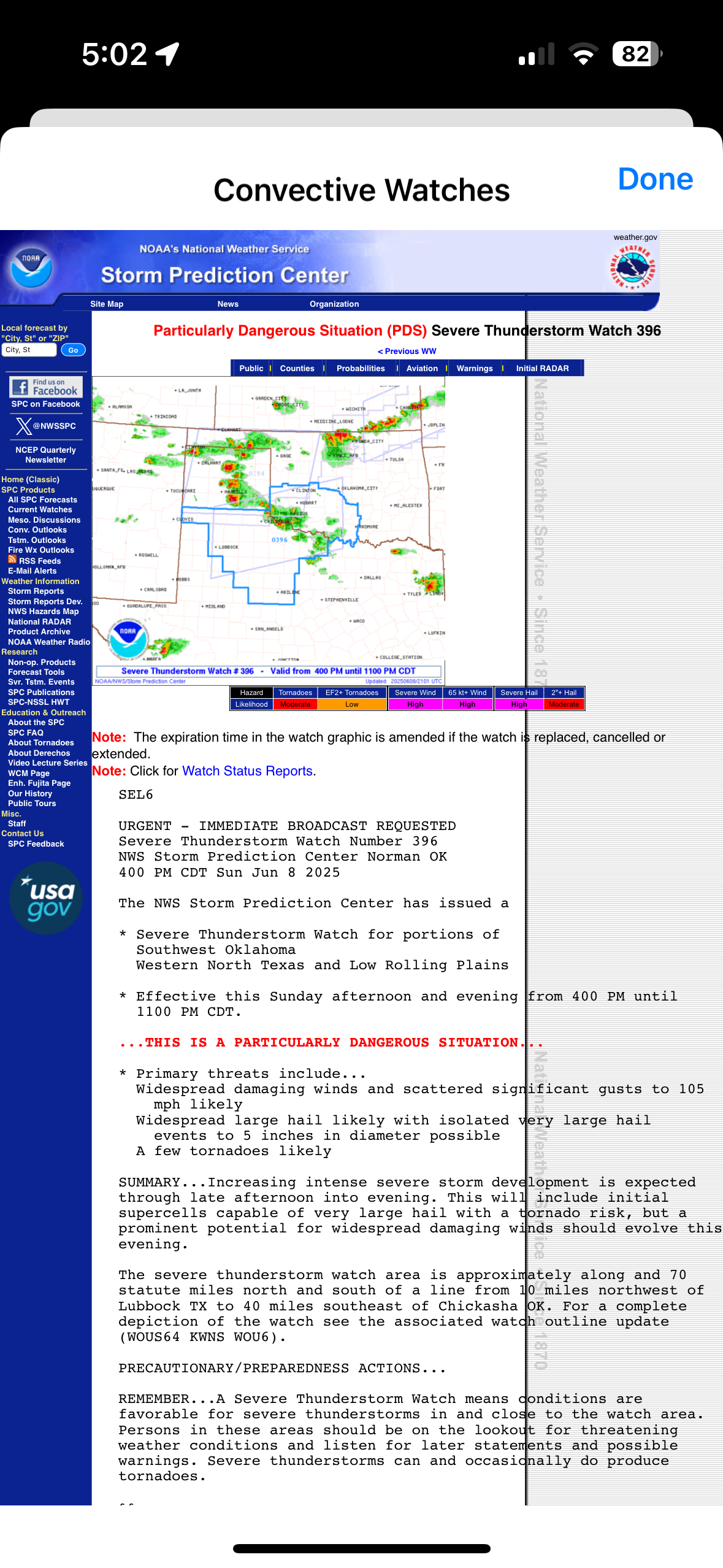
Now this is a watch

-
Only signs I noticed were “no alcohol allowed”
-
Yeah I’m not sure what to think and whether I should be concerned. I wasn’t walking in any grassy/forested areas…it was generally concrete. When we were leaving there were a few bugs flying around my leg there so maybe I had got something and the little black dot was a part of it. But for all I know these could have happened from home lol.
-
Yes and I pay extra for this MDVIP program so I can text my doctor which I may. I don’t want to like go anywhere for just a bit bit this looks…not good lol
-
Have some really weird bug bite or something on the bottom of my leg. When I came back from Wachusett the other day and got in the shower, I noticed a few small red bumps on my leg and two of them had a tiny black dot on them. They were way too small to be ticks though, but the one on the bottom of my leg has increased in sized a bit and is really dark red…even looks like it has a bit of black. Weird
-
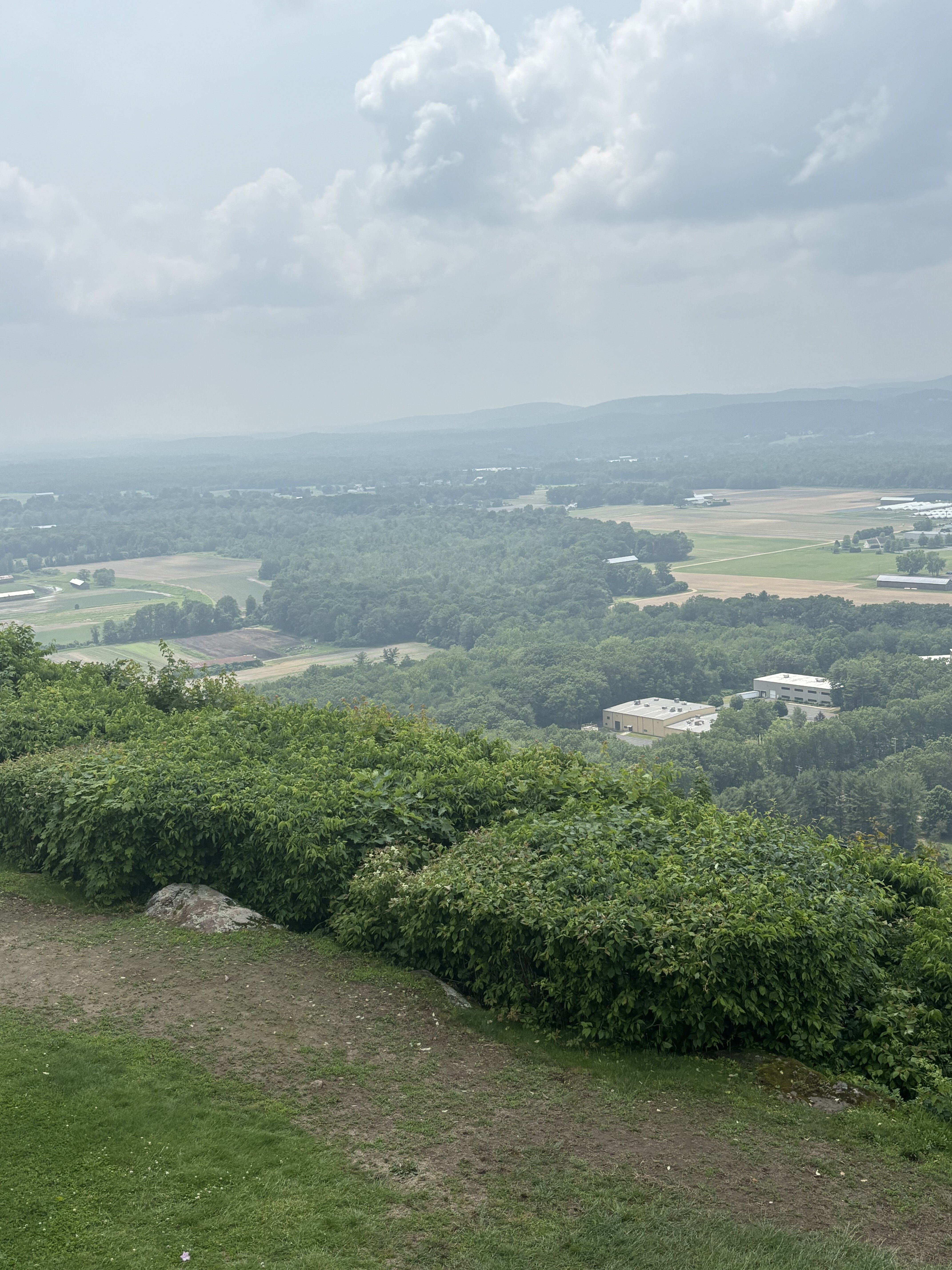
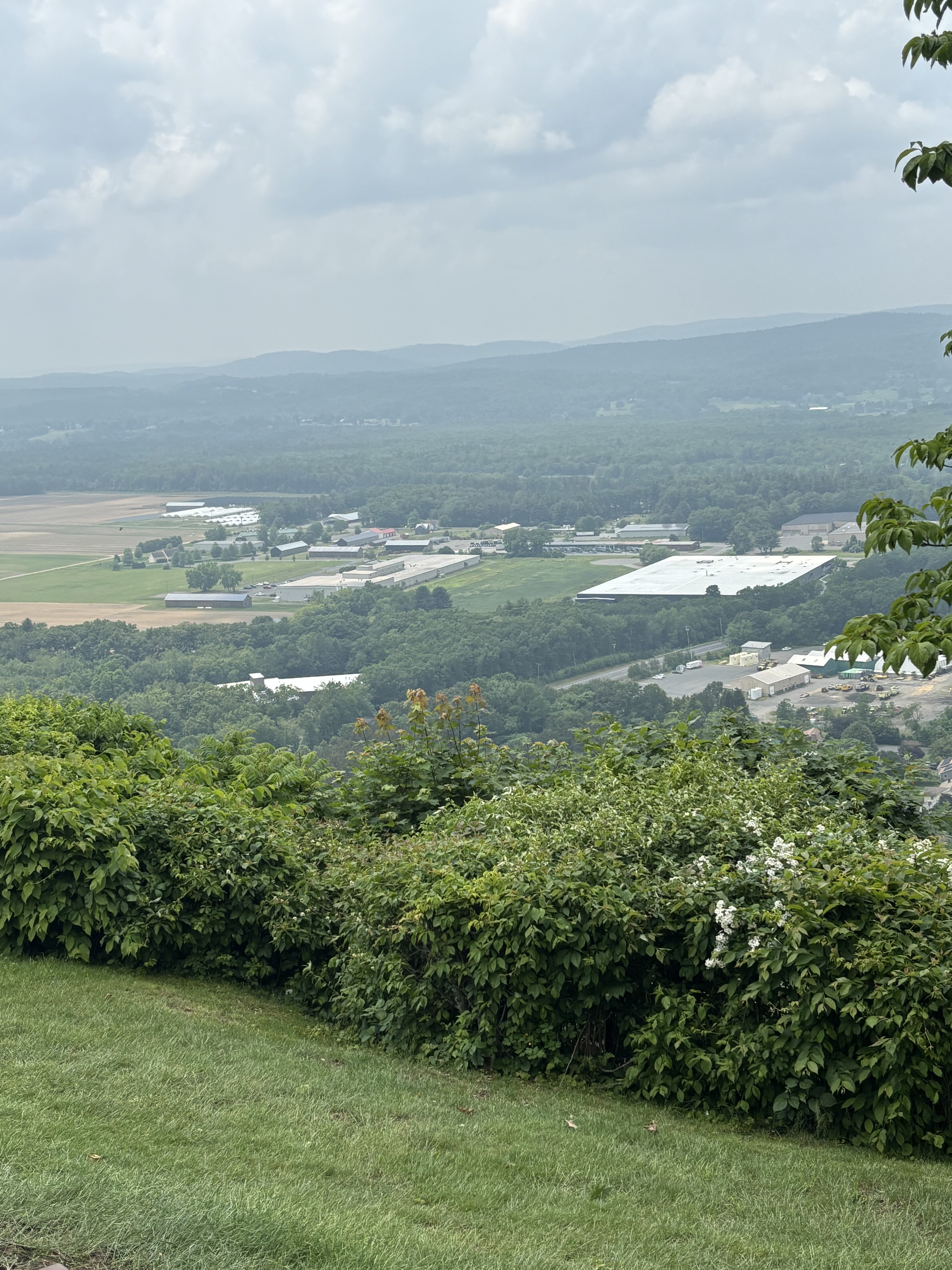
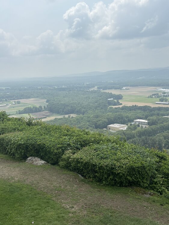
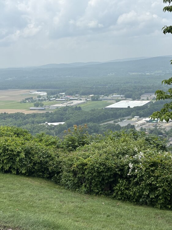
Smoky/hazy from Sugarloaf
-
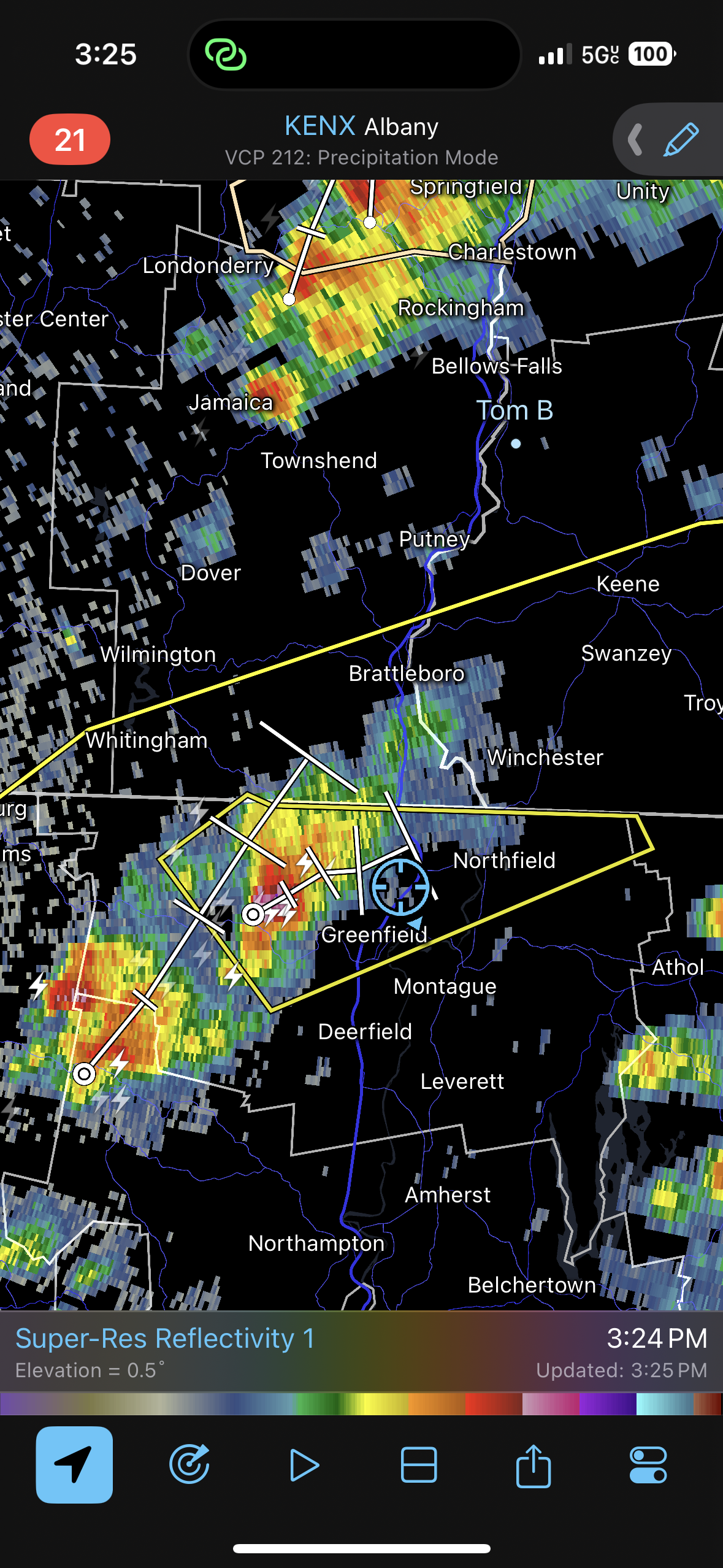
If we can muster any breaks of sun in the morning there is some room for some localized strong storms early afternoon. Looks like we'll see a line of rain and embedded thunderstorms moving through so any breaks of sun there could be an embedded strong strong or two.
-
That’s freaking awful
-
I’m in the parking lot of the package store and afraid to get out
-
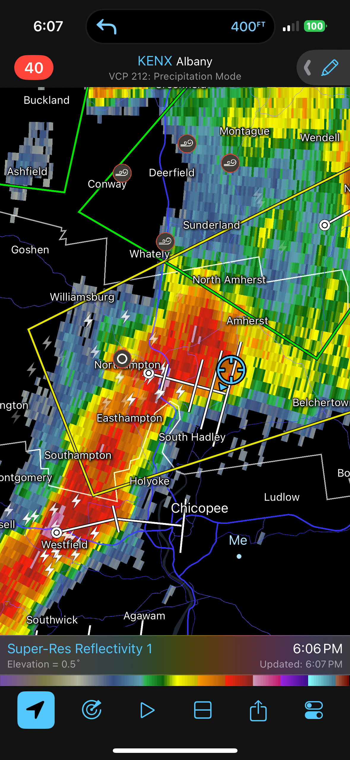
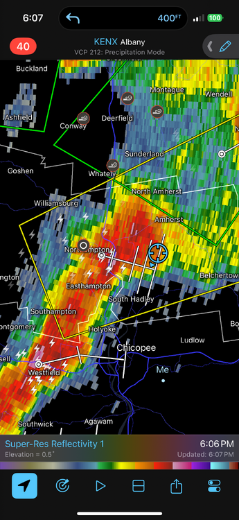
HOLY SHIT. super close CG strike…heard to instant booms right after, sounded like bombs went off.
-
I spent $0 on gas. Didn’t even go 1/2 tank
-
Back in Springfield now. What a day…what a beautiful, fantastic, AWT type of day. This worked out to a T…perfectly. Saw so much lightning and thunder, drove through some of the most intense rain I’ve ever driven through (even had some strong winds)…totally forgot where we were at. But had to pull into a shopping plaza lot. Now getting more rain and lightning!!!
-
New spot
-
Let’s try this again
-
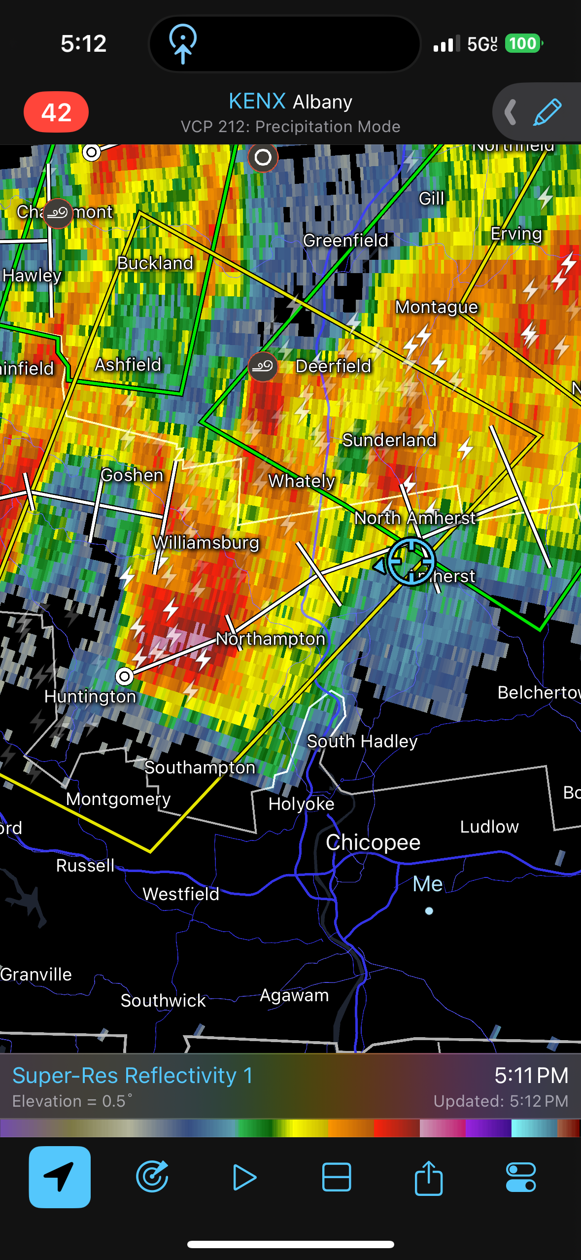
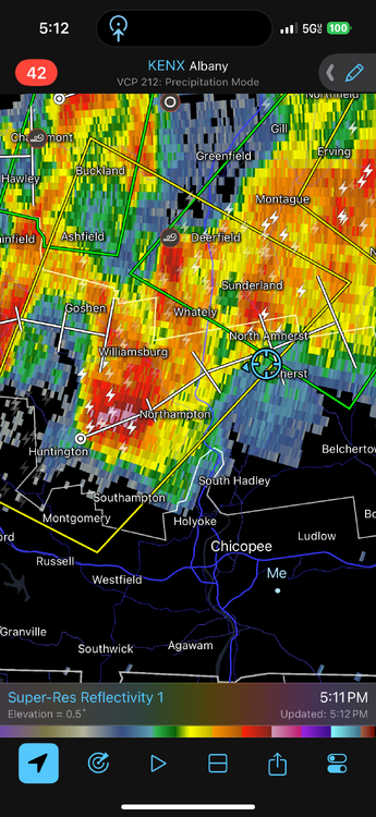
Considering headed south towards Amherst and see if that southwest stuff spikes but have to act quickly
-
Ughhh it fell apart. Ridiculous
-
Hairs on my head and neck slowly rising up
-
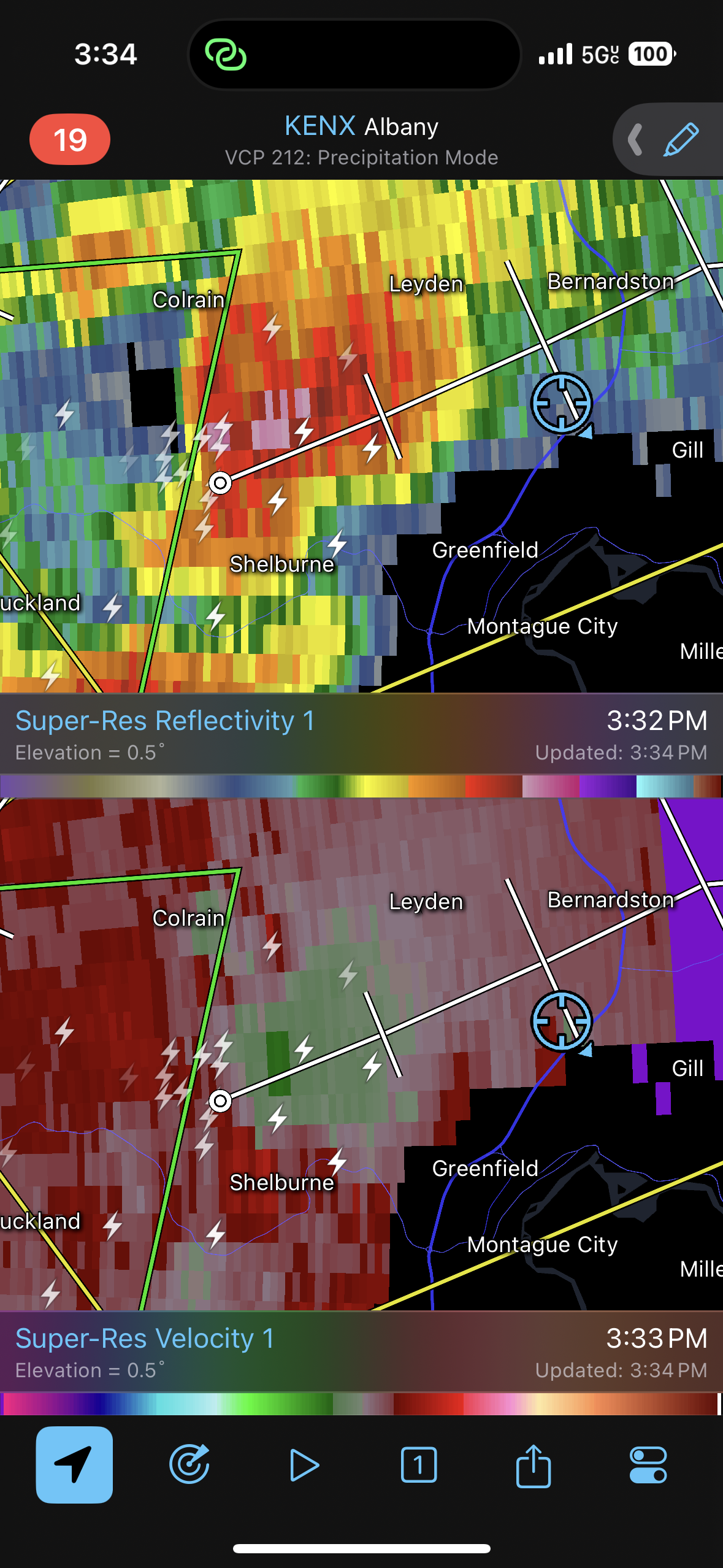
This will be close

-
We might get the core. I want to get nailed with this core. So much thunder…rumble after rumble after rumble.
-
I love me