Chrisrotary12
Meteorologist-
Posts
7,146 -
Joined
-
Last visited
Content Type
Profiles
Blogs
Forums
American Weather
Media Demo
Store
Gallery
Everything posted by Chrisrotary12
-
Just because you're wrong in the right direction doesn't make you right.
-
Do you like wind?
-
OBS/DISCO - The Historic James Blizzard of 2022
Chrisrotary12 replied to TalcottWx's topic in New England
-
Feel like you can change right up until 730p.
-
OBS/DISCO - The Historic James Blizzard of 2022
Chrisrotary12 replied to TalcottWx's topic in New England
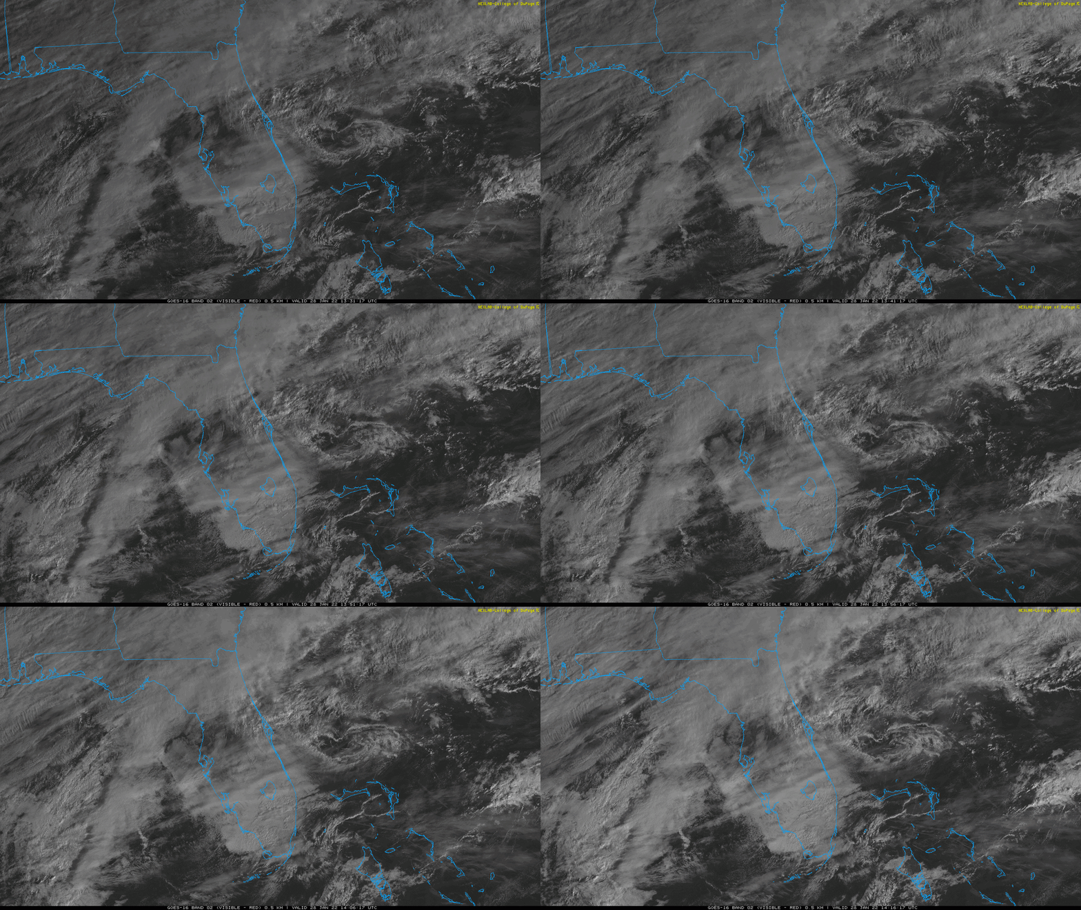
Does this mesolow off the Florida coast become our storm? Edit: probably not. Looks like it gets sucked into the warm conveyer belt. -
OBS/DISCO - The Historic James Blizzard of 2022
Chrisrotary12 replied to TalcottWx's topic in New England
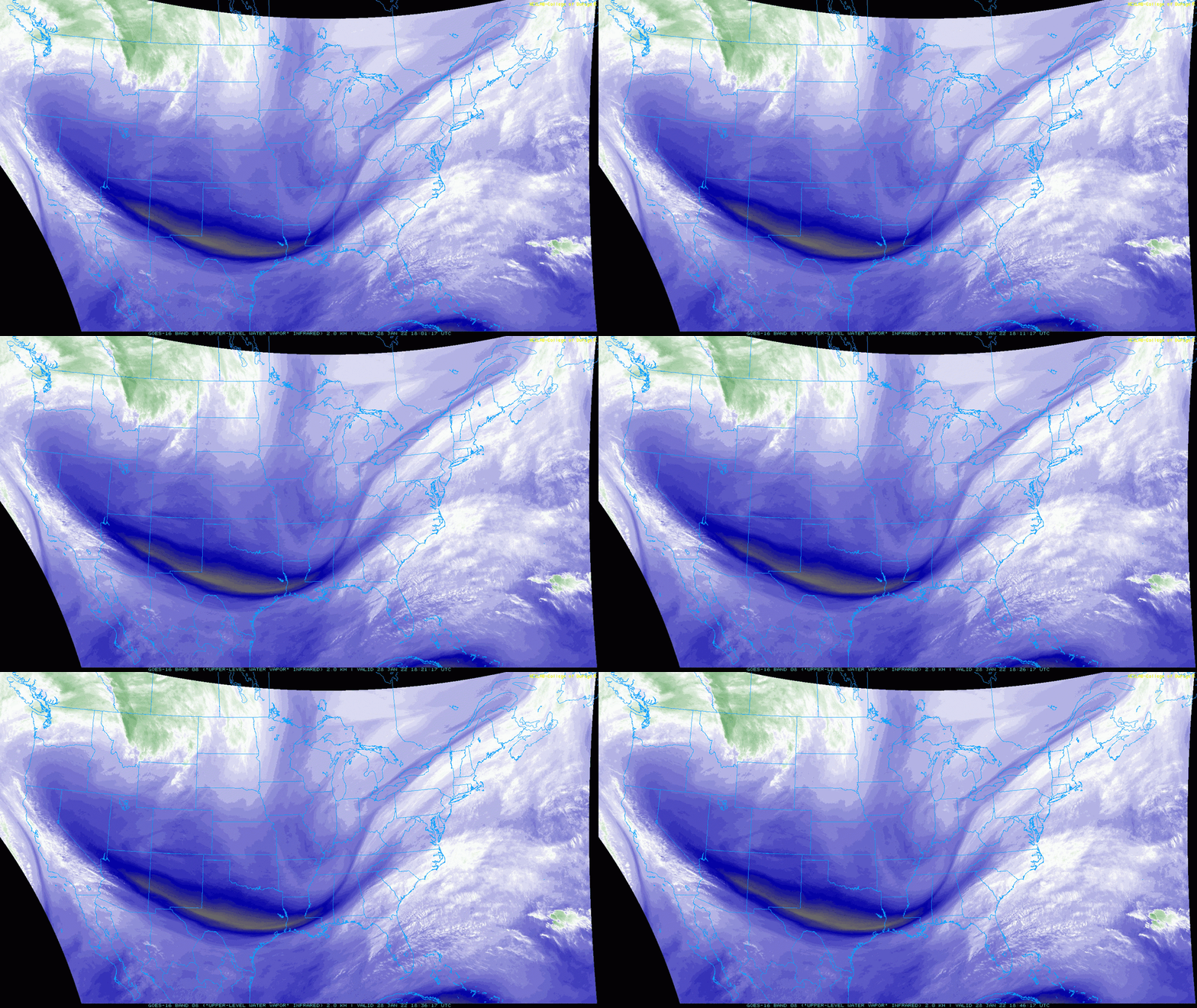
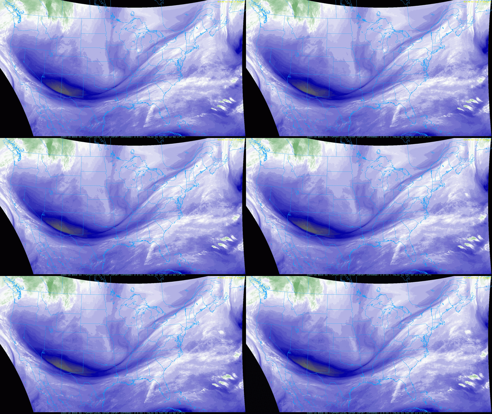
28F cloudy. Looking good from a WV perspective. PV lifting out north of us. Northern stream diving down. -
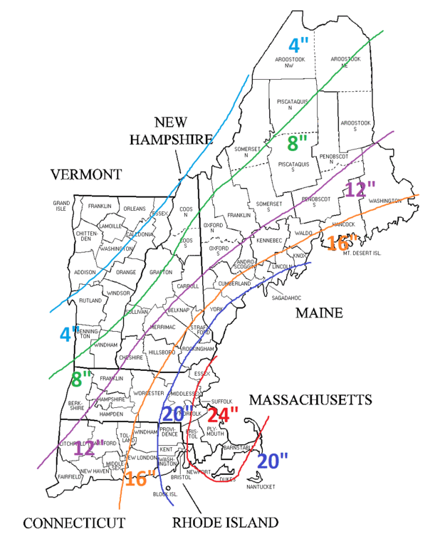
Going out on a limb - Sanford, Maine 31"
-
Taking in to account all of the various guidance; I thought the 00z Euro run seemed very logical from a meteorological perspective. We've seen countless times in the past that its tough to slow down a freight train and that the capture and "stall" typically occurs a little north of where expected. i.e. not south of MVY like the NAM, but east of the Cape like the Euro. If one were to take the Euro 10:1 snowfall map and increase it by 20-30% across eastern and western areas. And by 40-50% in the central areas where one thinks the death band sets up. That would be a reasonable forecast. Basically 20"+ in the east and central. 10-20 in central-west and dropping off from there.


