terrapin8100
-
Posts
119 -
Joined
-
Last visited
Content Type
Profiles
Blogs
Forums
American Weather
Media Demo
Store
Gallery
Everything posted by terrapin8100
-
 Moderate to heavy rain with some good lightning in Ossining. Missed out on the hail as the heaviest storms missed us to the north and south. Temp has dropped from 58° to 50° since the rain started.
 -
OBS and nowcast 10A-5P both Mon and Tue 2/22-23
terrapin8100 replied to wdrag's topic in New York City Metro
Heavy snow in Ossining, starting to stick to side streets. 33.6° -
Obs and nowcast Super Bowl Sunday 4A-6P Feb 7, 2021
terrapin8100 replied to wdrag's topic in New York City Metro
5.5" here in Ossining. Still snowing lightly. 31° -
Moderate snow in Ossining. 12" otg. 28°
-
Light snow with a dusting in Ossining. 22°
-
Flurries in Ossining, NY. 23°
-
OBs and nowcast later Tuesday morning - Noon Wednesday 1/26-27
terrapin8100 replied to wdrag's topic in New York City Metro
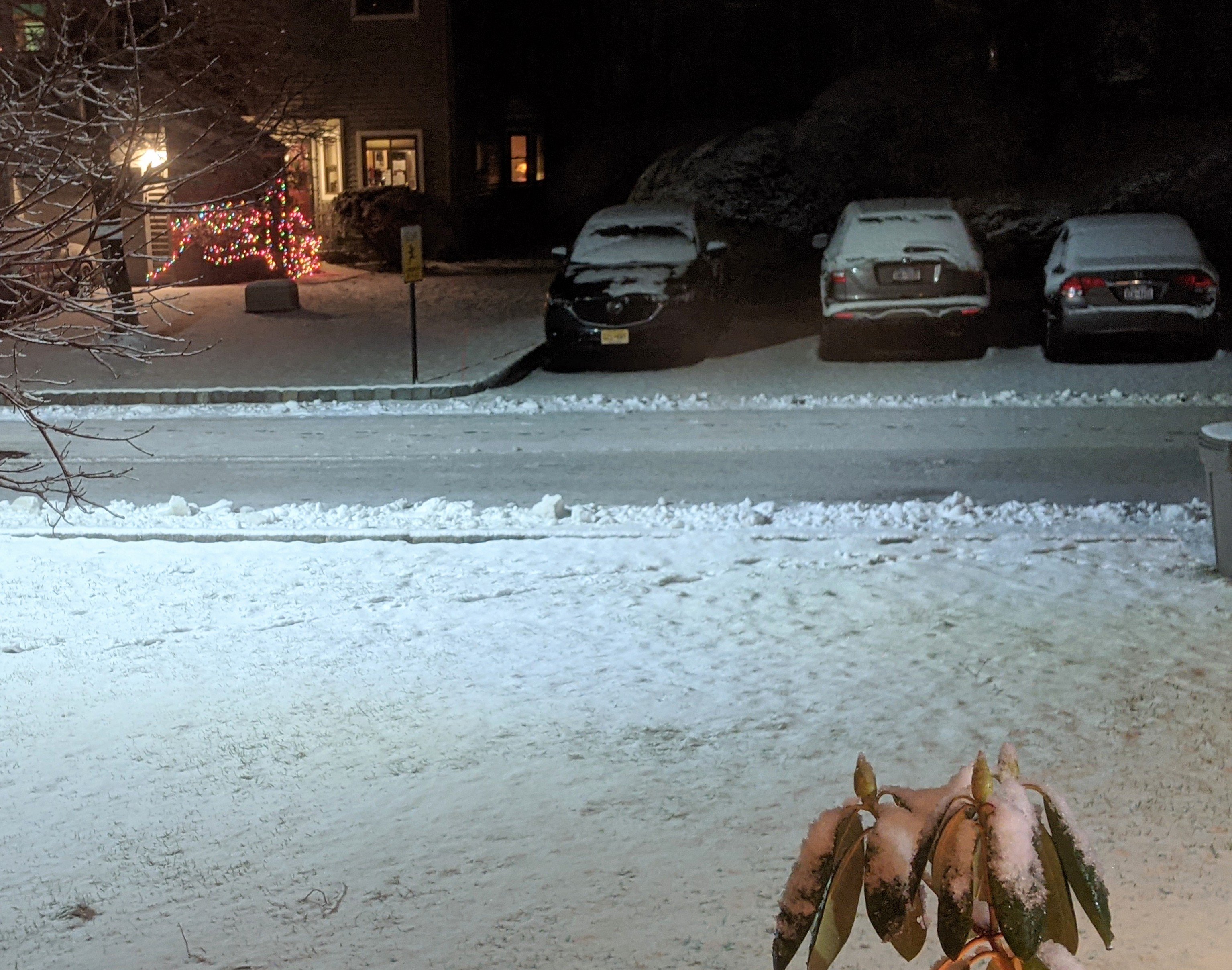
Light snow in Ossining. 31° -
Snow-ice-rain for the NYC forum 7PM Mon 1/25-6AM Wednesday 1/27
terrapin8100 replied to wdrag's topic in New York City Metro
.thumb.png.82a4e62f2e94db2d9dcee36e13ba9c5e.png)
-
Snow-ice-rain for the NYC forum 7PM Mon 1/25-6AM Wednesday 1/27
terrapin8100 replied to wdrag's topic in New York City Metro
Upton snow map for Tuesday into Wednesday morning.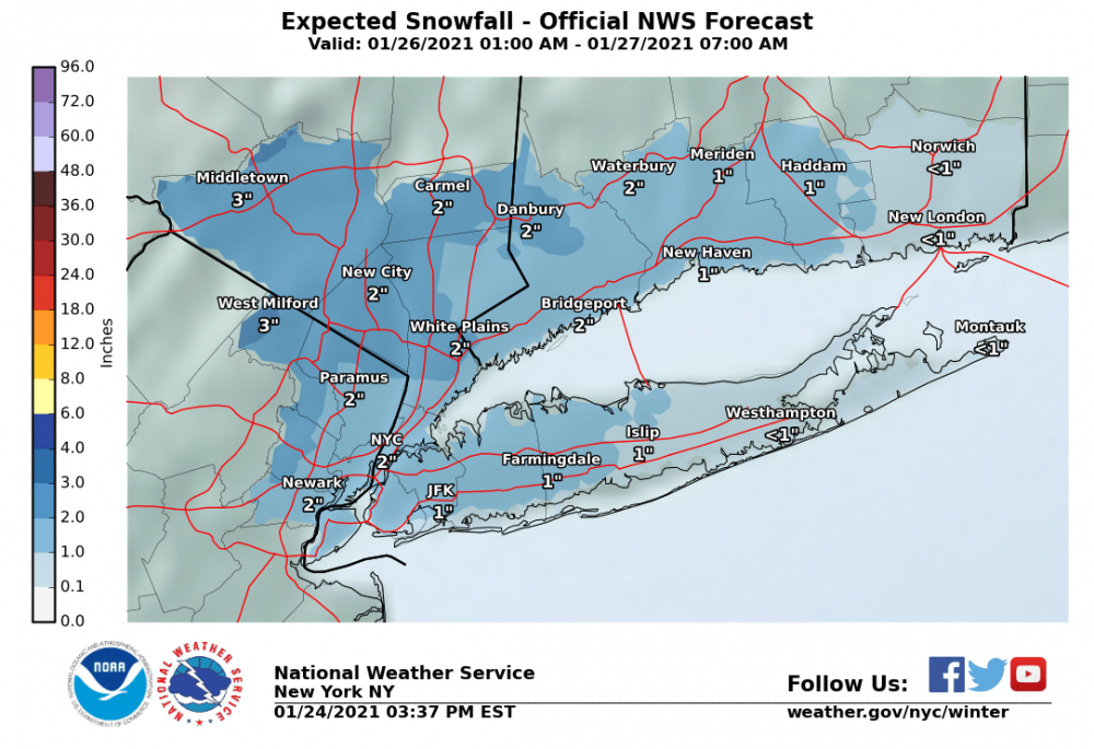
-
Obs and nowcast Sun 9A Jan 3 - 6A Mon Jan 4 2021
terrapin8100 replied to wdrag's topic in New York City Metro
From Ossining, about 10 miles north of 287. Not much but I'll happily take it.
-
Obs and nowcast Sun 9A Jan 3 - 6A Mon Jan 4 2021
terrapin8100 replied to wdrag's topic in New York City Metro
Light snow in Ossining with a coating on most surfaces. 33° -
Obs and nowcast Friday afternoon-night 18z NY Day 2021- 12z/2
terrapin8100 replied to wdrag's topic in New York City Metro
Sleet in Ossining, 35° -
December 16-17, 2020 Storm Observations and Nowcast
terrapin8100 replied to wdrag's topic in New York City Metro
Light snow in Ossining, 26° 12" storm total -
December 16-17, 2020 Storm Observations and Nowcast
terrapin8100 replied to wdrag's topic in New York City Metro
Snow/sleet mix in Ossining. 22° 6.0" -
December 16-17, 2020 Storm Observations and Nowcast
terrapin8100 replied to wdrag's topic in New York City Metro
Flurries in Ossining, 25°


.png.fef63cb61b2f68fd52b505f692d324a8.png)