NGTim
-
Posts
350 -
Joined
-
Last visited
Content Type
Profiles
Blogs
Forums
American Weather
Media Demo
Store
Gallery
Everything posted by NGTim
-
1/10-11 super awesome winter SE OBS thread
NGTim replied to strongwxnc's topic in Southeastern States
in Dahlonega getting downsloped, dryslotted, nam'd, convection robbed, virga'd ;-) while hearing all these reports West, East, and South of me. but just before 8am started to get snow. its all snow, small flakes, but coming down pretty good maybe half inch so far. Good luck everyone! Come see us up in Dahlonega @GaWx -
one thing i've noticed is there hasn't been a big blow up, harsh words, or someone getting banned (maybe they have i just didn't see it). Good job moderators by the way. But, itsn't that almost essential for a good storm? is that what we are missing? If i get banned for this, I'll take one for the team.
-
so happy for @dsaur have loved reading his stories about sleet all these years. pulling for you!!!
-
seems almost every storm that hits, there is always a period where the models lose it, then get it back again (if it is destined to happen). I thought that would have occurred a day or so ago but it didn't. hoping this is just the normal pump the brakes, then back to full speed ahead of a glorious Friday for all (or most) of us.
-
excellent. didn't think about snow pack, cold ground, evap cooling, and Especially precip falling at night. good stuff!
-
I really want to take something to knock me out till maybe Thursday cause this is like hoping your team makes it through the playoffs to the championship game. But, seriously, trying to temper things just in case. On a scale of 1 to 10, what do we need to watch out for (those things like after a bust, we say the xyz got us). I feel like most of these are zero or on the very low end, except maybe warm nose. 1 no worry < - - - - > 10 worry ----------------------------------------- 1) Sun Angle (guessing zero) 2) Warm Nose - 6?, 7? 3) Gulf convection robbing moisture (haven't heard anything so I assume none) 4) Went too negative tilt 5) Too positive tilt 6) High was in the wrong position 7) Cold couldn't get past the mountains (cold already locked in place i think)
-
Granted I'm only looking at GFS, but it seems extreme NE GA (upper Lake Lanier to the intersection of GA/NC/SC) (selfishly the spot i look at) looks good even going back several runs, and trending even better each time.
-
Thinking about you guys I know yall will be dealing with this for months and years to come. I know some of you have lost an unimaginable much. Don't know anyone other than screen names (well, other than MotoWxman) but feel i know you as friends reading your posts all these years. And i forgot to update on the guy from my church that was stuck in Montreat (thanks for the info yall gave me). Anyway, couple days later an excavator and several guys with chainsaws just appeared, fixed the road, cleared the trees, and all 12 were able to get back to Georgia safely. High Country Strong! I suspect in years to come there will be a lot of ptsd when a hurricane runs up through the states below or beside you.
-
Thank you guys that helps to know
-
If this is not allowed here or if this is not the right place, please feel free to delete but was wondering if there is anybody on here in Montreat. I got a call from someone from my church and 12 are stranded at a cabin and it’s been suggested to send the church van from Ga to get them after they walk to town. He is saying they are just gonna have to leave their cars at the cabin. Based on what I’m reading, it may not be possible logistically for us to even get to Montreat so if there’s anybody local that can PM me, I would appreciate it.
-
wow i'm just catching up and went through the last 24 hours of posts. congratulations!!! you guys deserve it. how long has it been since so many in this thread got so much? seems like forever to me. Anyway, thanks for laying down the snowpack for us further South.
-
2021-2022 Fall/Winter Mountains Thread
NGTim replied to BlueRidgeFolklore's topic in Southeastern States
-
Front Range snowstorm nowcast/conditions 3/13-15
NGTim replied to mayjawintastawm's topic in Central/Western States
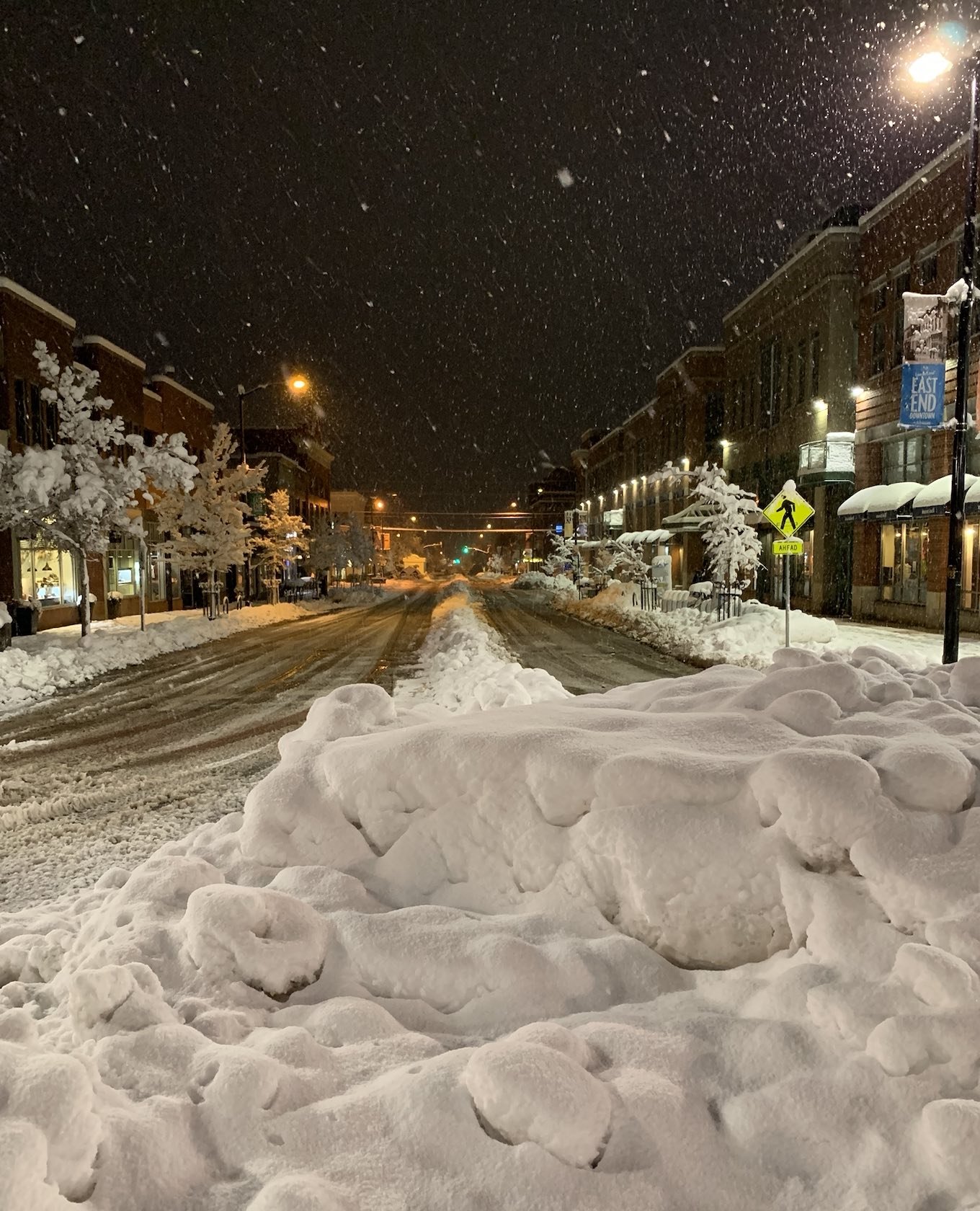
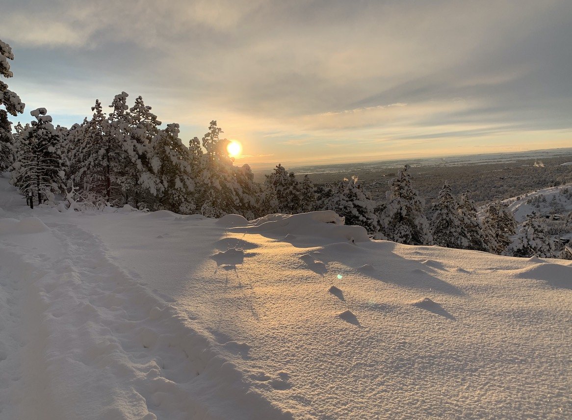
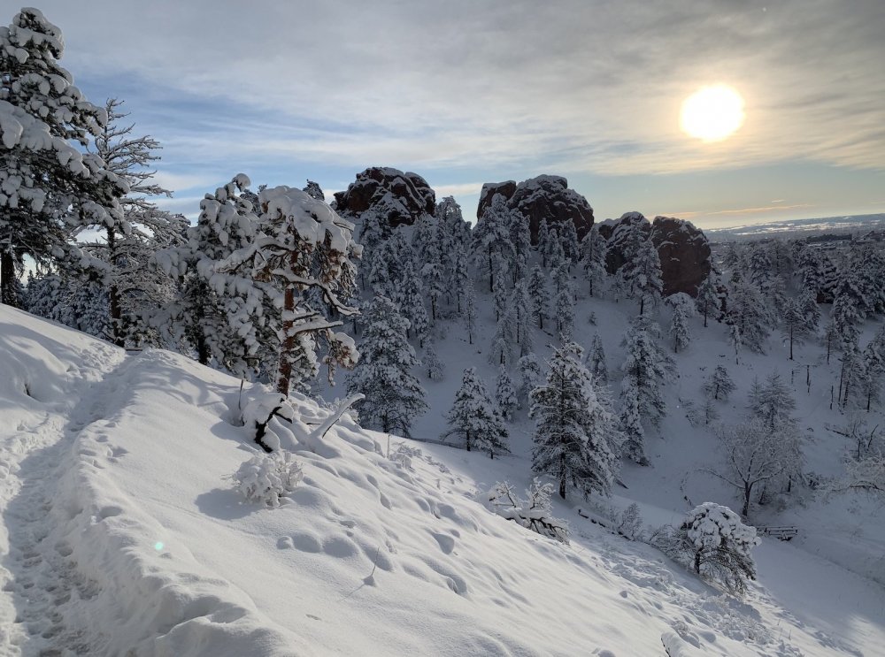
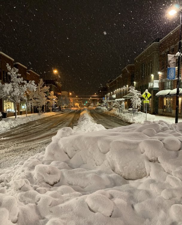
Heres a few pics i took on Anemone trail and Red Rocks and in downtown Boulder this weekend.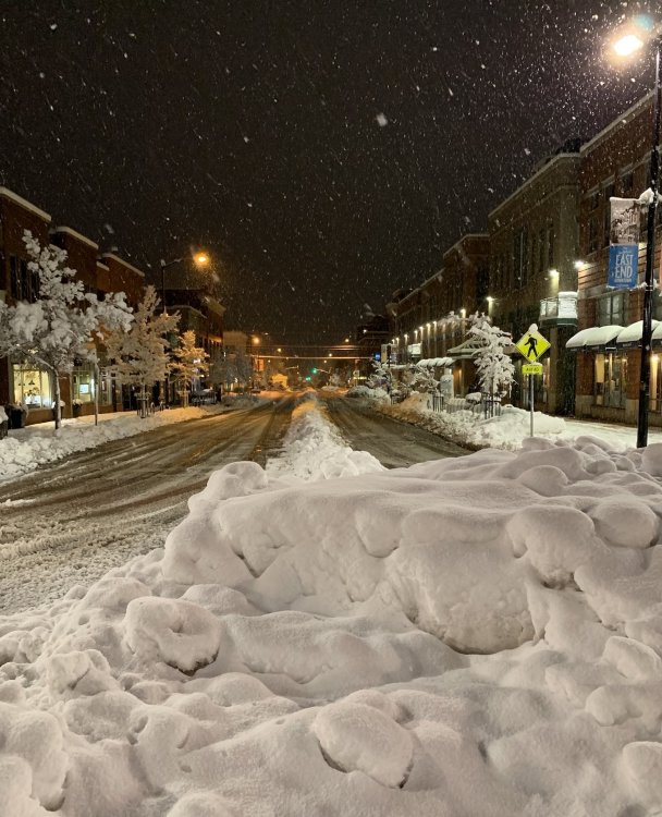

-
last one!
-
wow can't imagine that. I suddenly realized when i was hiking up that mountain at sunrise Monday morning that I was concerned about an avalanche. that was a first for me and it was a little unsettling. But then i got past that and started to worry about mountain lions as i was the only one out there at that time. I do have a question, when they got 98 inches, what was the GFS showing prior to that, 300 inches? ;-)
-
meant to say, if money, and vacation days were no object, I could have pretty easily got in on 3ft of snow with just some slight plan modifications.
-
i road tripped to Boulder this weekend. Justified it with a cheap flight with free hotel (points) so very inexpensive, "theoretically" less than driving to Beech mountain and staying in a hotel/condo/house there. Had some changes of plans, so it was a bit more expensive than planned, but, well thats a different story. Also, got stuck there and had to stay an extra day and come back on Tuesday instead of Monday because airport and bus/train transit was shut down Monday. But actually glad now i can say i got snowed in with a record snowstorm in Colorado. Got about 20 inches in Boulder. Ironically I think DIA that i initially flew into got 27 inches ;-). I hiked up into the Flatirons the last day and walked in snow up to my knees so that was cool. In town, even though about 20 inches fell, the ground measurement was probably 1.5 ft max in some places due to compaction and melting, as temps were borderline the first two days. I would say this is the most snow i've ever seen, save a couple of times up at Beech where the wind blowing so hard couldn't tell how much snow by looking at the ground. Good thing about this storm was there was just about zero wind, at least in Boulder, the whole time. It was picture postcard stuff and comfortable. In hindsight, especially if you are going all out to see the biggest snow, I should have gone into Denver like I did on Friday, ahead of the storm, just got one night, and then based on short term trends, had the ability to change plans and go to Cheyene, or wherever, but all in all I felt it was about the best I could do to wind up in Boulder. I wound up being in the same hotel as the Weather Channel crew, and Jim, Producer Steve, and Chris the cameraman were all very nice and i spoke to them several times over the course of 3 days. They let me film behind the scenes and asked if i wanted to follow them when they changed locations. it was very cool. Even talked to Charles Peek and found out he later went on into Cheyene. I made several cameo appearances during their broadcast hits playing "random dude that just "happened" to be walking down the street behind Jim on camera". Some observations: I posted in the mountain west forum a few times and I was really surprised by the small amount of activity there especially with a possible historic snowstorm coming in. It was a laid back forum like this one, but i didn't feel the love that I get in this forum even though i'm sort of a lurker / outsider, but i did at least get a few likes, so that was good. I would say there was about 10% of the analysis of an upcoming storm than i am used to here. To a person, everyone who got off one of the local buses would thank the driver as they disembarked, I thought that was cool. They are serious about masks out there. I wasn't trying to be a rebel, just forgot a few times and i would get sternly reminded especially in restaurants and in the post office where i mailed back extra boots and clothing cause i was tired of carting everything around going in between cities and airport. I'll try to post some pics later if anyone is interested and i can figure out how.
-
Front Range snowstorm nowcast/conditions 3/13-15
NGTim replied to mayjawintastawm's topic in Central/Western States
Thanks for that. I road tripped from Georgia to Boulder for this so I’d call 20 inches a success. Had a blast in your town -
Front Range snowstorm nowcast/conditions 3/13-15
NGTim replied to mayjawintastawm's topic in Central/Western States
Hello here from the southeast. Tim, and I flew in here from ga on Friday. In Boulder now . it started slow but it’s ripping now. Haves enjoyed the cool vibes here since fri. -
thats a good haul! i'm curious do you know how much SOCO gap got?
-
I’m at neels gap and it’s snowing really hard hard ground is white
-
i agree. Woody Gap is always money for me. i may wind up there myself this evening or tomorrow am, per my daughter. But i hate to go anywhere when there might be flakes at my own house. will be a lot less, but there's nothing like flakes imby.
-
low of 52 degrees yesterday morning in N. Ga and i'm at 1500 elevation. I suspect you guys in low 40s? anybody see 30s?. I bet whatever it was it felt downright cold