-
Posts
82,301 -
Joined
-
Last visited
Content Type
Profiles
Blogs
Forums
American Weather
Media Demo
Store
Gallery
Everything posted by powderfreak
-
Well it’s an increase in frequency of dewey summers. The graph shows it, ha. I’m not sure what else to tell you.
-
The graph shows it well… sure there were humid summers throughout the period, but only three summers since 2010 have been below the average long term dews. Would seem to show increased dew points lately.
-
Amazing for A/C… more lackluster for heat but enough to take chill out in late spring and early fall before you want real heat. The A/C has been amazing from our minisplits. Dead quiet, cold rapidly, energy efficient with low electric bills. Given how recent summers go with dews, it was worth the $10K for a couple heads here. We just close off a couple rooms and let those bake lol.
-
We are really wedged in down low. Torch at the summits but feels CAD down low and 10F cooler.
-
-
Did you really have AC window units running last night?
-
Just poured for two hours. 0.63” on the day now.
-
Jealous. 59F up here.
-
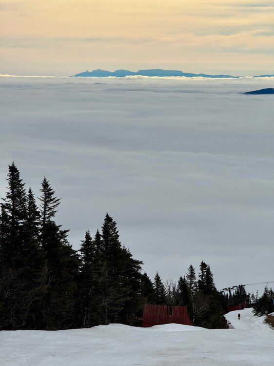
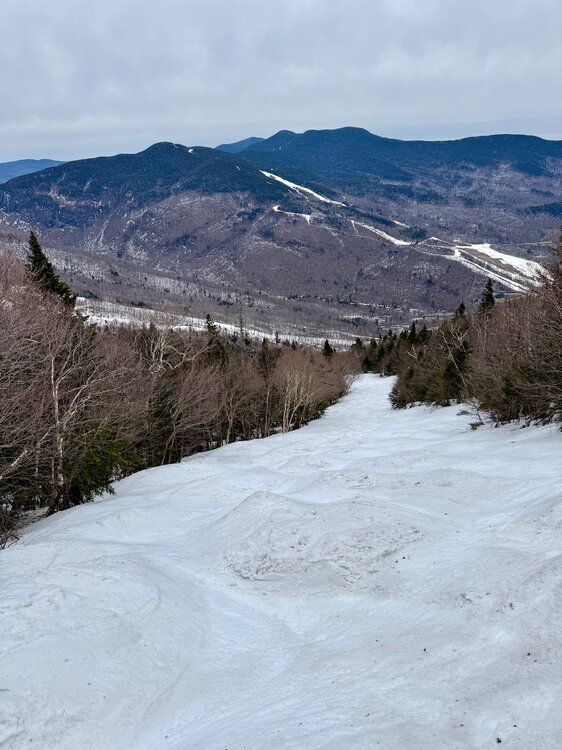
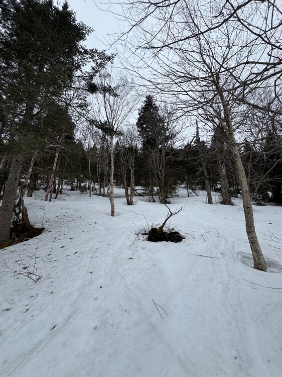
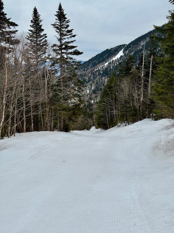
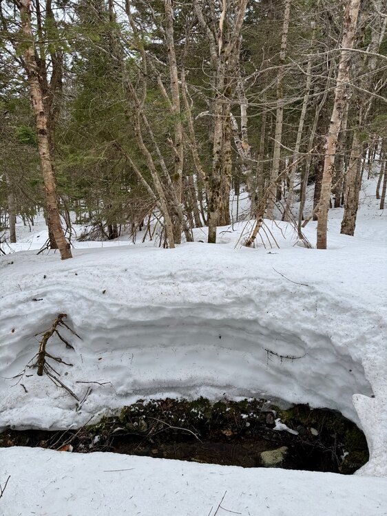
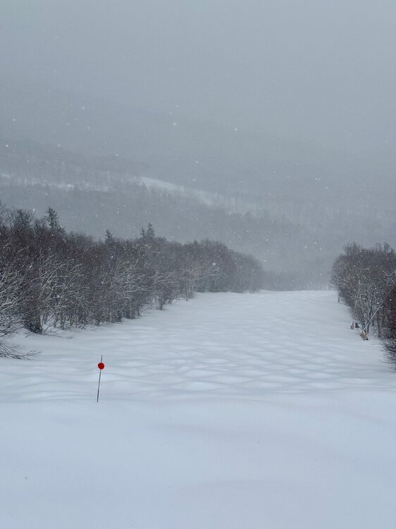
The natural snow trails are hanging in there. The mid/upper elevation band is still sitting 4+ feet of natural depth.
-
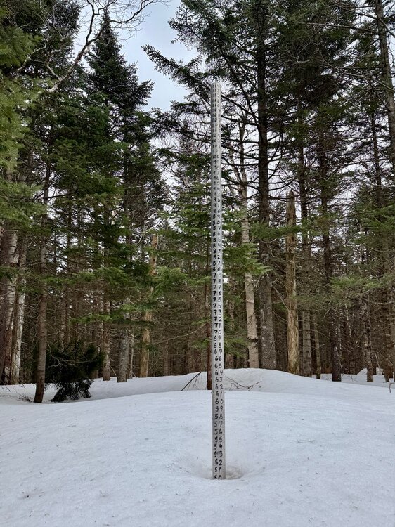
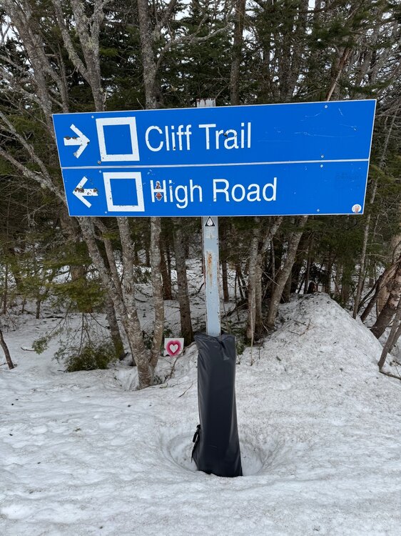
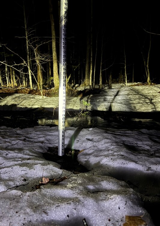
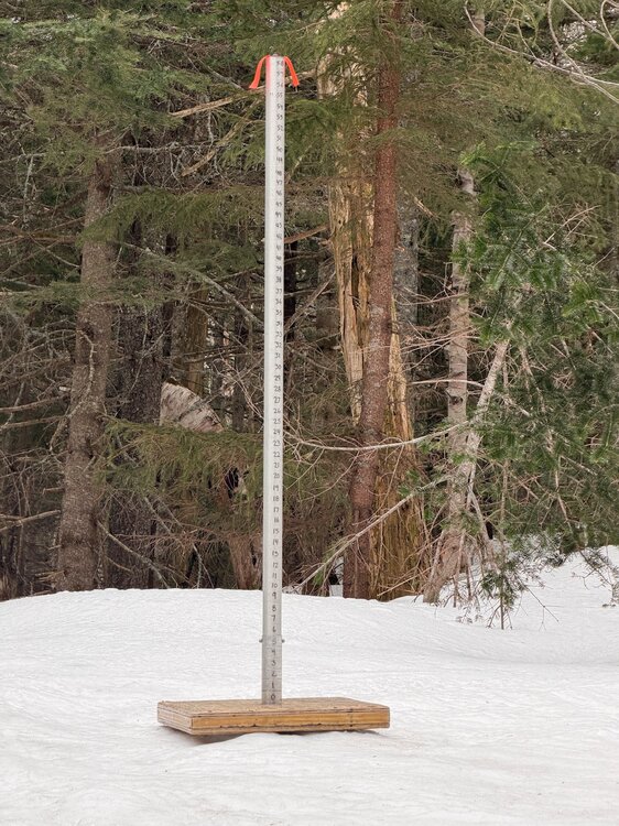
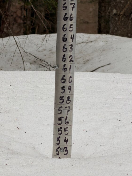
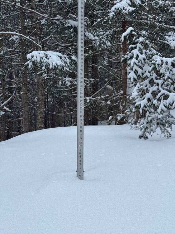
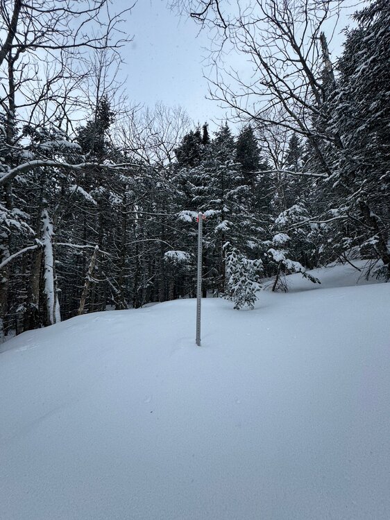
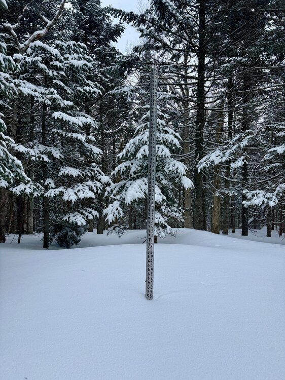
Snowpack at 3,000ft off High Road is holding at 51”. Holding at 60” up at the Co-Op stake at 3,700ft. It’s interesting to see what 303” of snowfall leaves as a snowpack this time of year, even with the lack of snowfall (relative to normal) the past couple months.
-
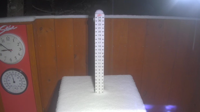
Guess I wasn’t paying attention, but the wet-bulbs were surprising low to me coming into this air mass, given it was so spring-like 40F up high this afternoon. Wet bulb down to 32F and quick 2” of snow at the picnic tables so far. Cold 37-39F rain down here/MVL.
-
Yeah, I mean anecdotal and not trying to bait some warming discussion… but I genuinely remember being a lifeguard in high school at some local municipal pools and we’d sit in the office with the one computer hooked up to the Internet and look at Steve LaPoint’s WRGB forecasts for Albany (one of the first Mets with online forecasts in the area)… he’d post those charts and if it went above 60F dews we’d know the pool would be busy. Feels like it used to live in that 55-65F range for vast potions of the summer.
-
Remember when we used to see those graphics in July and August? Now it’s comfy when the line gets near sticky and humid in July, ha.
-
21F for the low.
-
For the NNE thread… We’ve had steady snow cover at 1500ft since mid-November. Snow depth reached 45” max a couple times, and spent over 3 months above 24”. This morning it was down to 3” and I expect it will be gone by Monday. Still 53” at 3,000ft and 61” at 3,700ft.
-
We’ve had steady snow cover at 1500ft since mid-November. Snow depth reached 45” max a couple times, and spent over 3 months above 24”. This morning it was down to 3” and I expect it will be gone by Monday. Still 53” at 3,000ft and 61” at 3,700ft.
-
Maybe I'm being dense and he was being sarcastic... but I'd think you'd want to see a longer period of record to compare to. But if 1950 onward are random dates and then change it to a not random 1995-2025, maybe I'm just missing something. I always thought we liked long period of records on here.
-
Why would that be better than going from 1950 onward like Tip’s original post?
-
63/17 What a time to be alive.
-
Luckily it’s largely fake.
-
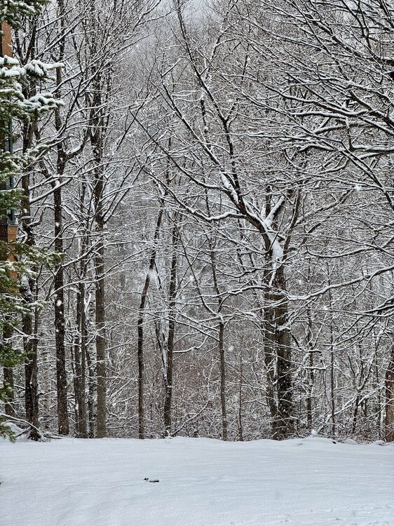
This last 36 hours was a nice winter interlude in the growing momentum of spring. Snowing and winter conditions, then as soon as the sun comes out the vibe changes to spring.
-
Fire weather is nice, dry weather. Would be nice to dry out. Anywhere below the snow line is just soggy. 28F.
-
Yeah up to 45F and it’s only left in shaded spots.
-
-


