Jump to content

powderfreak

Members
  • Posts

    81,270
  • Joined

  • Last visited

Everything posted by powderfreak

  1. It’s 34F and feels like t-shirt weather. -7.5 on the month for departure during climo minimum… above freezing now feels like a torch.
  2. Next owner… “Titan Sports Financial Group - Win or Lose, We Turn The Profit Double Play. Our athletes may strikeout, but our investors never do.”
  3. 11F this evening. These warm above zero evenings are a prelude to coming out of the annual minimum. The gradient has been further south for weeks on end... have to like the Pike region to CNE in this event mid-week. Narrow area of snows, but interesting to see where it ends up. -7.5 departure for the first half of February, the coldest time of year.
  4. Not visually at least during the warm season… but I don’t think we get them. It seems to be a phenomena that occurs in a strong low level flow with a big thermal difference in the lowest 5,000ft. 30F in the valley, 10F up top. Some destabilizing sunshine. They seem rare when it’s completely thick clouds. I think that’s what I think of when I see them… it’s a well-mixed atmosphere.
  5. I just realized that the first half of February has seen the following temperature departures locally… BTV -7.6 MVL -7.5 MPV -7.0 Only one day has been above average so far. This will change going forward, but that’s a well-below normal stretch during coldest climo minimums.
  6. They seem to start during differential heating or steep lapse rates during CAA. We seem to get them during times of broken clouds/partly sunny conditions after a snow, with a strong 850 mb flow amid steep low level lapse rates.
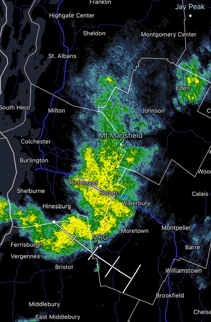
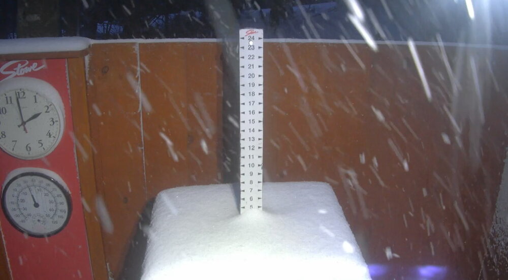
  7. Had one day this winter with multiple large ones at Stowe. Biggest I can ever remember. Wish I could post the video, but too big size. Here’s a screen grab… much easier to see the definition in the video but that’s like a 1,000ft tall vortex.
  8. 3F… we’ve had 27 days go below zero this winter, making a late run at it this morning. 12 days hit below zero this month so far.
  9. Saw -10F on the car with like rimed trees at home and then glorious and warm at 1500ft.
  10. Absolutely shacked today. As someone at the base of the Quad said… “A Stowe 4 [inches] fell last night” because that was the reported snowfall. It was the amount that was measured at the location chosen to do that. Sometimes aspects, exposure to wind, and snow movement lead to varying areas of deep across a given resort of 500+ acres and 2-3 miles of length.
  11. Ended up with 8.3” at home from this last event on 0.60” water.
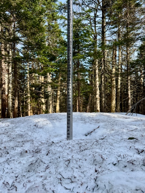
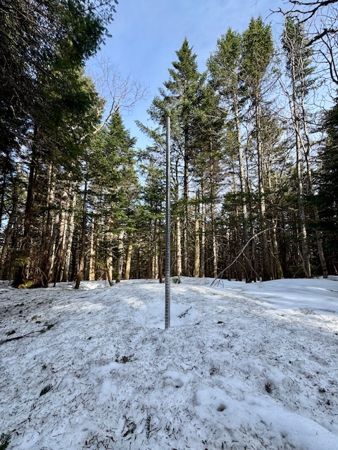
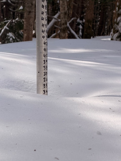
  12. Snow depth at 1500ft is up to 45” again for the second time this season. Keeps snowing.
  13. We’ve dropped off… it’s been hovering in the 10-15th range since 1954 the past week or so. We were still top-5 after the big storm, but wind packing and Arctic cold dropped depths a bit right when other years pumped up. Good snowfall this afternoon on the upslope flow. Been around 1”/hr past 2-3 hours.
  14. Got 5.25” overnight and it’s been hammering upslope snow lately. Mountain visibility is under 1/4sm in heavy snow. Flake size much bigger than last night’s 10:1 synoptic dump. Even down in the valley is solid 1/2sm moderate snow. Upslope flow is parked for now. KMVL 111954Z AUTO 35007KT 1/2SM SN VV009 M04/M07
  15. I wouldn't go outside. Latest Dept of Fish & Game geotracking map has gray wolf collar #45B on the move towards Salem, CT.
  16. Interesting BTV tidbit if Wednesday doesn’t go above freezing… then you start to get into a solid streak. In Burlington, the last day with a temperature breaking 32 degrees was January 22nd; sub-freezing temperature streaks surpassing 21 days are fairly unusual in the Burlington area, last happening January- February 2015 and only occurring 20 times going back across the last 141 winter seasons.
  17. Yeah, I like these events that go SW flow ahead of them and then NW flow behind them.... Usually works out decently for the mountains, especially if the low level flow is SSE to begin. I could see a widespread 3-6" from the Adirondacks across BTV and into VT... or maybe 2-5" instead for the lower elevations under 1,500ft and 4-7" above that? Agree with BTV that the GFS is overdoing it and likely the NAM too. More like 0.20 to locally 0.5" in the mtns for QPF instead of that big area of 0.33-0.75"?
  18. Yes, ha, that 3km NAM stuff is useless over the peaks and terrain. I read something once that it's confusing rime icing parameters for actual precipitation but I can't quite wrap my head around it. Because it doesn't *always* do it... there's definitely some variable, like the terrain hits the cloud deck and all the sudden it goes bananas for precip. The only way to really read what its saying is to look at adjacent areas to the mountains. When it gets that super sharp gradient of like 0.2" in Underhill or Stowe and like 1.5"+ over the peak in like 6-12 hours, lol, it's like ok NAM, stop it with the ridgelines. The HRRR seems much better with the terrain around these parts... just the right amount of enhancement... wish we could get whatever precipitation calculation that uses into the 3KM NAM.
  19. -12 in the valley here, at MVL.. radiators mount up locally. -18F at HIE. The vibe was brutal cold this evening. Wind blowing over the ridge, accelerating down the slope and through the east side, in this deep cold.
  20. Back when BTV radiated... they used to put up some impressive lows. -18F at BOS is the most impressive though of those.
  21. It’s currently around 280” for moving 20-year average…forget the exact number. For example, this season we are at 231” to date up there.
  22. That winter almost ended me. Think we were 55” or so for snowfall and the picnic tables only had 153”. Lowest on record.
×
×
  • Create New...