

CoastalWx
-
Posts
176,165 -
Joined
-
Last visited
Content Type
Profiles
Blogs
Forums
American Weather
Media Demo
Store
Gallery
Everything posted by CoastalWx
-
Ninja'd.
-
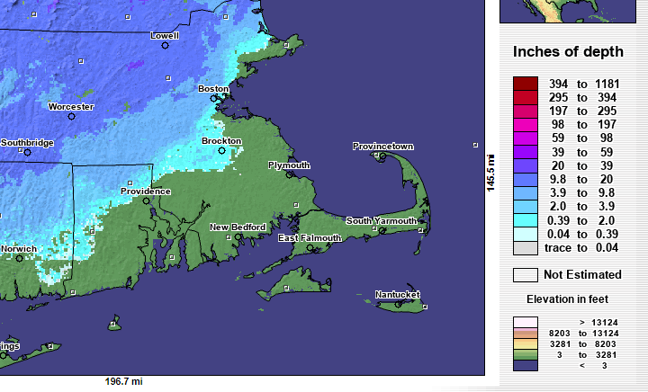
This was in 2003 so not sure how good the data was, but you get the idea. Definitely over 20" in Lowell. And a crusty 1" maybe at home.
-
Need to see if I can find some sort of snowpack map prior to early February 2003. I've talked to Will a lot about it, but it was a brutal cutoff driving back and forth in that area.
-
Worked out for HFD area. But it was a tough stretch for about 5 weeks or so for the coast lol. The snowpack rapidly built up N and W of that interchange. You went from about 1-2" if that of crust where I lived in Marshfield to about 2' of meaty pack near Lowell. It finally changed locally after the surprise 2/7/03 dump.
-
I feel like the 90/128 demilitarized zone is coming for part of this winter.
-
Octorcher or Roctober 2023 Discussion Thread
CoastalWx replied to Damage In Tolland's topic in New England
GFS said FU Dryslot. -
. One of these days will get good HP.
-
Lets get a 12/29/12 middle finger into metro BOS while it changes to snow at EWB.
-
Like Will said, just give me a good high north of Maine.
-
Yeah those were like E-SE winds lol. Just speaking overall. Instead of near 31-32 it's more like 33-34 unless it's a good antecedent airmass. Doesn't help the Gulf of Maine being one of the areas that has spiked in SSTs.
-
Let's hope not. It's expected though in December.
-
This is anecdotal, but I will say it does seem a little harder to get a snow event on NE winds overall, unless you have a very cold antecedent airmass. Snow on NE winds shouldn't be that big of a deal, but it's been slowly getting harder to do. I'm speaking for the coast of course.
-
Yeah that's one of them. I'm thinking of a few of the smaller borderlines ones too.
-
Yeah if you can prove CC was responsible for troughs into the Baja of CA...you'd be a billionaire lol.
-
I think these borderline events are where we see the effects more. We probably would have seen these borderline events be snowier in the 495 belt especially and possibly towards the coast. It's just speculation of course, but in some instances 1C would have made the difference, especially inland. But I would argue even in the days of yore, that overall hemispheric pattern would have sucked. You're not going to get a ton of snow with that look even if we were a bit cooler. Cutters still would cut.
-
Octorcher or Roctober 2023 Discussion Thread
CoastalWx replied to Damage In Tolland's topic in New England
I don't even recall. I stared into Will Smith's little black pen and erased it all from memory. -
Octorcher or Roctober 2023 Discussion Thread
CoastalWx replied to Damage In Tolland's topic in New England
I’m not sold yet on more than 2” in a larger area like euro. -
Octorcher or Roctober 2023 Discussion Thread
CoastalWx replied to Damage In Tolland's topic in New England
But hey guys don’t worry. We’ll get more rain chances the following weekend. -
Octorcher or Roctober 2023 Discussion Thread
CoastalWx replied to Damage In Tolland's topic in New England
It’s gonna suck anyways. Rain around and clouds. -
Octorcher or Roctober 2023 Discussion Thread
CoastalWx replied to Damage In Tolland's topic in New England
Poor guy. Installs when it’s too cool, uninstalls when it’s still warm and humid. Somehow in his mind that helps rush the seasons. -
Octorcher or Roctober 2023 Discussion Thread
CoastalWx replied to Damage In Tolland's topic in New England
Actually that’s the euro op, but I’ll toss. I think it’s more NNe -
Octorcher or Roctober 2023 Discussion Thread
CoastalWx replied to Damage In Tolland's topic in New England
Not in recent guidance -
Octorcher or Roctober 2023 Discussion Thread
CoastalWx replied to Damage In Tolland's topic in New England
Doesn’t look too bad -
Looks locked to go near Eastport Maine. Should be no big deal for many.
-
Octorcher or Roctober 2023 Discussion Thread
CoastalWx replied to Damage In Tolland's topic in New England
Ukie hitting the sauce?


