CoastalWx
-
Posts
176,160 -
Joined
-
Last visited
Content Type
Profiles
Blogs
Forums
American Weather
Media Demo
Store
Gallery
Everything posted by CoastalWx
-
Octorcher or Roctober 2023 Discussion Thread
CoastalWx replied to Damage In Tolland's topic in New England
Delivering fresh oysters to Portnoy? -
Octorcher or Roctober 2023 Discussion Thread
CoastalWx replied to Damage In Tolland's topic in New England
For most. Only areas are maybe into Berks and then perhaps cape cod from that storm. That’s my guess. In between some lighter rains. -
Octorcher or Roctober 2023 Discussion Thread
CoastalWx replied to Damage In Tolland's topic in New England
Sell -
Octorcher or Roctober 2023 Discussion Thread
CoastalWx replied to Damage In Tolland's topic in New England
Here we go nam hopefully -
Octorcher or Roctober 2023 Discussion Thread
CoastalWx replied to Damage In Tolland's topic in New England
Boring happens -
Octorcher or Roctober 2023 Discussion Thread
CoastalWx replied to Damage In Tolland's topic in New England
What about June? -
Octorcher or Roctober 2023 Discussion Thread
CoastalWx replied to Damage In Tolland's topic in New England
Sounds like some hot stuff in the bedroom I guess?? -
Octorcher or Roctober 2023 Discussion Thread
CoastalWx replied to Damage In Tolland's topic in New England
SSE winds for Diane is basically like a hair dryer though. Unless somehow they decoupled. But based on what PF posted yesterday about the high temps, she AC. Hopefully last time AC tonight. -
Octorcher or Roctober 2023 Discussion Thread
CoastalWx replied to Damage In Tolland's topic in New England
Why can’t we get that. -
Octorcher or Roctober 2023 Discussion Thread
CoastalWx replied to Damage In Tolland's topic in New England
Some know -
Octorcher or Roctober 2023 Discussion Thread
CoastalWx replied to Damage In Tolland's topic in New England
Now that is impressive! I can see some of those being downslope, but SLK stands out. Dam. -
Octorcher or Roctober 2023 Discussion Thread
CoastalWx replied to Damage In Tolland's topic in New England
We AC. Kev IPA. -
Octorcher or Roctober 2023 Discussion Thread
CoastalWx replied to Damage In Tolland's topic in New England
Yeah if you go look at ORH which has a much better sample size of October events, I believe Will said there was basically no correlation. The 60s had some October snows, and those were good winters overall. Near the coast, the sample size isn't the best. It's also silly to somehow take a random and well timed event and have that somehow predict what a season will do. -
Octorcher or Roctober 2023 Discussion Thread
CoastalWx replied to Damage In Tolland's topic in New England
Seabreeze has kept it 76-77 here. -
Octorcher or Roctober 2023 Discussion Thread
CoastalWx replied to Damage In Tolland's topic in New England
Man guidance is straight from a big dog winter look, for the following weekend. Srn stream energy, energy diving out of PAC NW, and a PV to our north. -
Octorcher or Roctober 2023 Discussion Thread
CoastalWx replied to Damage In Tolland's topic in New England
You have to factor in the normal bias-corrected Tblizz multiplier. -
Octorcher or Roctober 2023 Discussion Thread
CoastalWx replied to Damage In Tolland's topic in New England
It's time. Even today I'm like ok we are good now. -
Octorcher or Roctober 2023 Discussion Thread
CoastalWx replied to Damage In Tolland's topic in New England
TAN and AQW 87 lol. Although TAN seems a little warm at first glance. -
Octorcher or Roctober 2023 Discussion Thread
CoastalWx replied to Damage In Tolland's topic in New England
Congrats on .75"+ of dry. -
Weird it cut out, yep right after. LOL.
-
Eff Hubbardston
-
At least I didn't get to see that multiple times a week.
-
1" my fault.
-
Ninja'd.
-
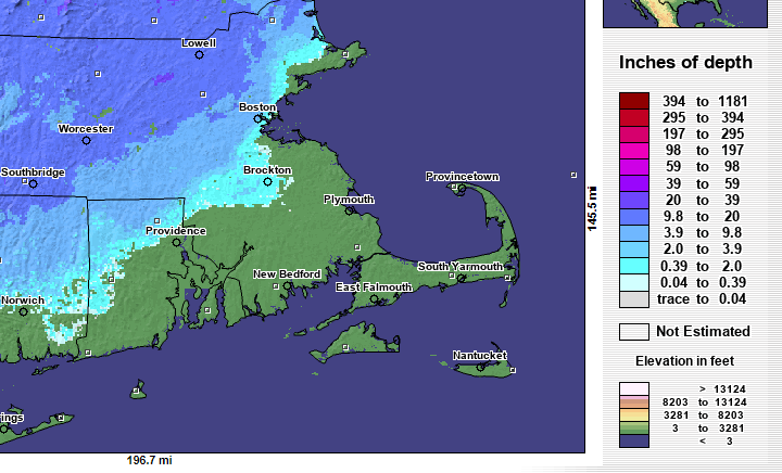
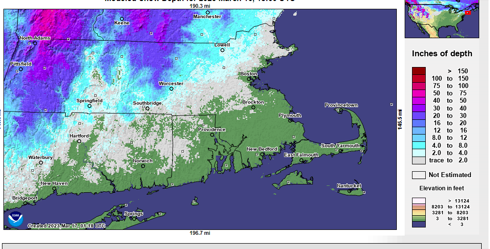
This was in 2003 so not sure how good the data was, but you get the idea. Definitely over 20" in Lowell. And a crusty 1" maybe at home.