

CoastalWx
-
Posts
177,425 -
Joined
-
Last visited
Content Type
Profiles
Blogs
Forums
American Weather
Media Demo
Store
Gallery
Everything posted by CoastalWx
-
-
For Halloween gale
-
LOL they were pics of pics. I know...but I was excited to find them.
-
-
Bump.
-
Recap: Tornado in Massachusetts, May 9th, 2013
CoastalWx commented on Quincy's blog entry in Quincy's Blog
There also was a weak diffuse boundary in the area. That combined with low level CAPE probably added to this brief spin up. Of note, the cell also briefly turned to the right and migrated more easterly once it began to develop rotation. -
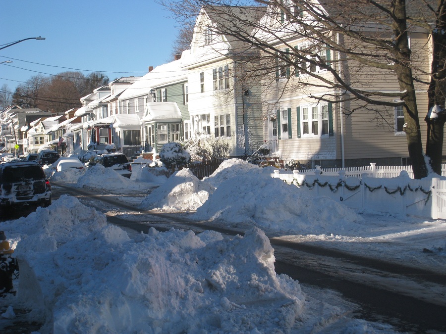
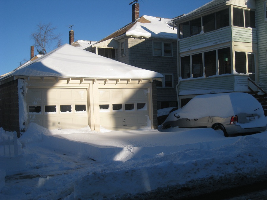
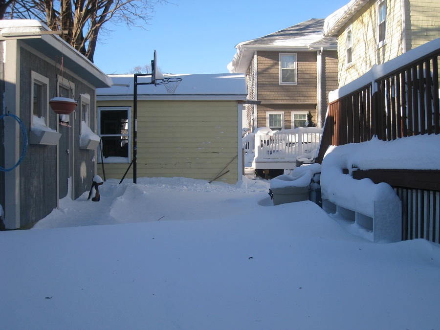
We got about 18-20" in Somerville where I was. A little less than I hoped, but not bad.
-
If I knew we would break up 3 months later, I would have stayed home for that. Of course when I went down, it was scheduled to whiff us.
-
I apologize for the crappy quality. I'll scan them when I get a chance, but wanted to quickly throw them up. I came home down that after being away in NJ for that storm and snapped a few picks. It was close to 2' OTG. Might have been more if I measured every 6 hrs or so.
-
Found some old PDII pics. That's my old car on the right. That lump. It's a pic of a pic, sorry about the quality.
-
It's October. You should expect a shaft.
-
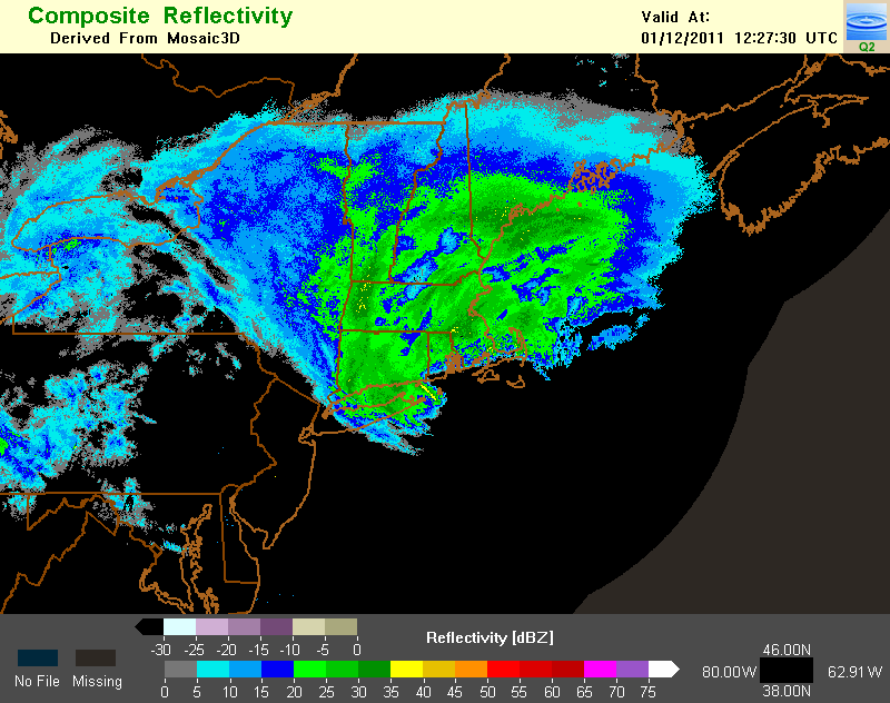
I stumbled upon this link for archived radar imagery. It's a little cumbersome to navigate, but it has some nice imagery. Only goes back to 2008 though. http://nmq.ou.edu/
-
I think we talked about it on the board, but I remember thinking that GC was going to get buried. I just said to myself "those motherf*ckers are going to get smoked." That day you could see the banding setting up in PA and it was developing northeast towards western mass. I didn't want to make them too happy, but I was like..."they are gonna get whacked again." LOL.
-
Oh nice. I used to save some news paper article from storms when I was a kid. I actually had something from 12/26/10 last year. I'll have to find the other stuff at home. When you get a chance, post the damage video. That was awesome footage.
-
Hey Ryan, do you still have any good links to the Hartford papers or even TV footage of the damage? I figured you must have saved some.
-
LOL, he must jump around on his bed like a little school girl when you mention "the hills." That coverage was great. You did a nice job with the storm. I sort of get disappointed from time to time missing out on that, but I was able to live vicariously threw you guys during the storm.
-
Although I definitely had a weird feeling for a few seconds. Sicko.
-
Once he said "The Cold Miser" I figured it was him.
-
LOL, Garth..you sick fook.
-
Yeah agreed. I went through Christmas Day constantly sneaking a peak at the models and this board. My wife hated it, but I knew it had the potential to be a beast so to me, it was justified..lol.
-
I know snow wise wasn't that memorable out your way, but the storm itself was such a beast. To have inland spots like ORH and ORE gust higher than BOS is pretty noteworthy.
-
Bump for an awesome storm locally, although understand if 90% of the people viewed it as NBD.
-
Agreed.
-
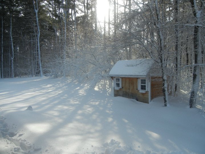
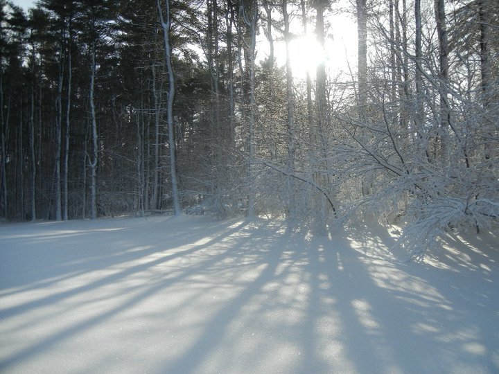
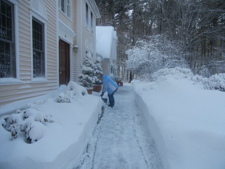
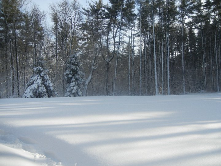
I have a bunch, but just posting a few shots I had this winter down in Marshfield.
-
Bump, because I can't get anything resembling a snowflake...lol.