CoastalWx
-
Posts
177,460 -
Joined
-
Last visited
Content Type
Profiles
Blogs
Forums
American Weather
Media Demo
Store
Gallery
Everything posted by CoastalWx
-
Will, at least the snowpack had some staying power through March up by your way, but it was just a disaster how it melted through March.
-
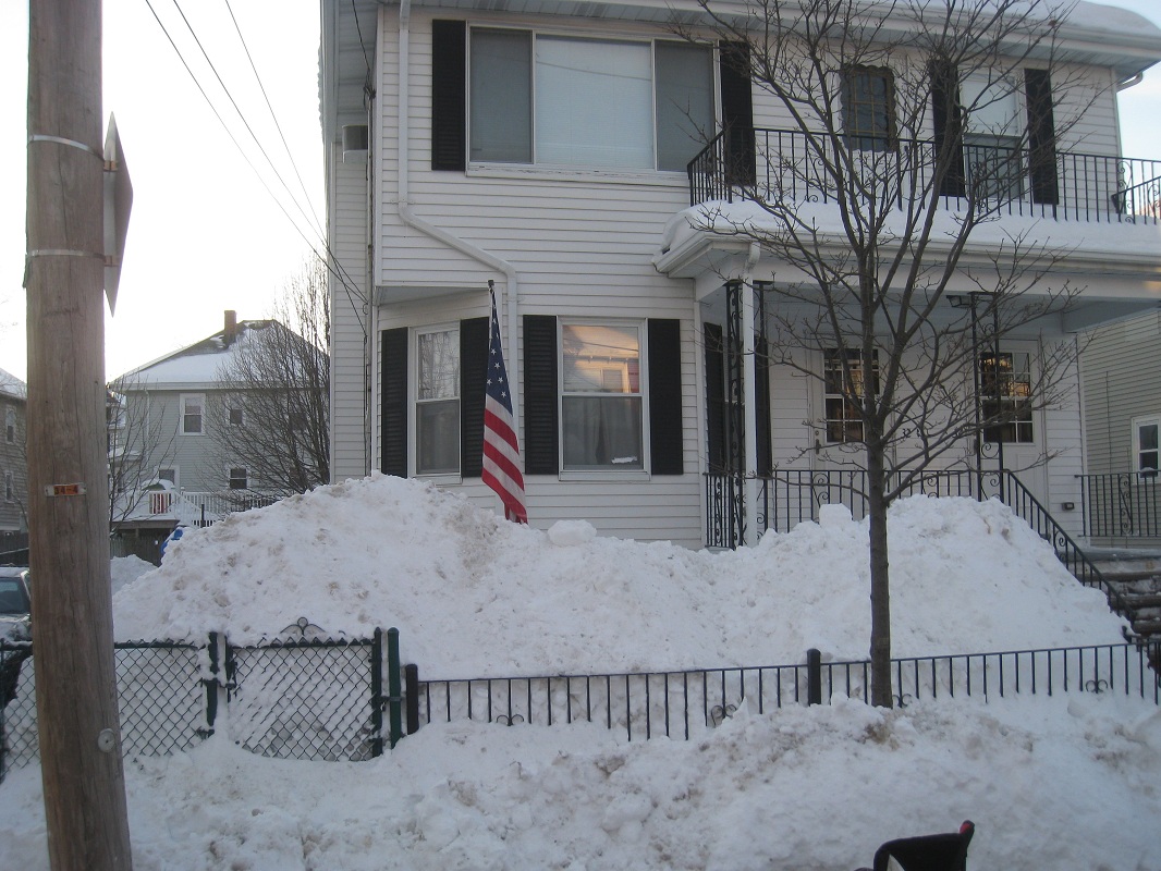
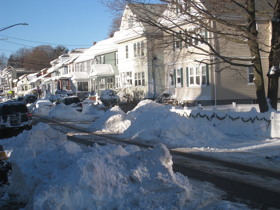
Eventually, those piles had to be thrown onto the front yards, when January ended.
-
They do an awesome job cleaning out, almost too good. Boston uses salt after every time they come down the street, so the piles aren't as big as they could be. It annoys me a little, but at least you can navigate the narrow streets.
-
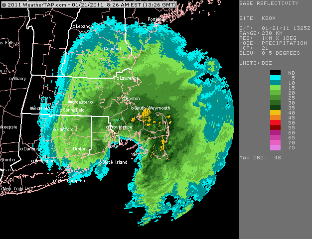
Hey Steve...that November 8th storm was pretty cool. That actually brought the warmer air in and DS to ne mass. WST was actually more conducive to snow then LWM. I remember we were saying this might actually be a Tolland to ne CT and nw RI deal.
-
Believe it or not, I think that only occurred briefly for about 45 minutes when the CF just moved to my west. It got to 32.5 here with S+, so everything got caked. I do think that because I was so close to the CF for a while...and it did become almost marginal aloft..like around 950mb..the snow may have been a little wetter then it normally would have been with a temp of around 27-28F. Luckily I stayed just on the good side of the CF.
-
Yeah you always seemed to be in that sweet spot, despite QPF. Mid levels rule.
-
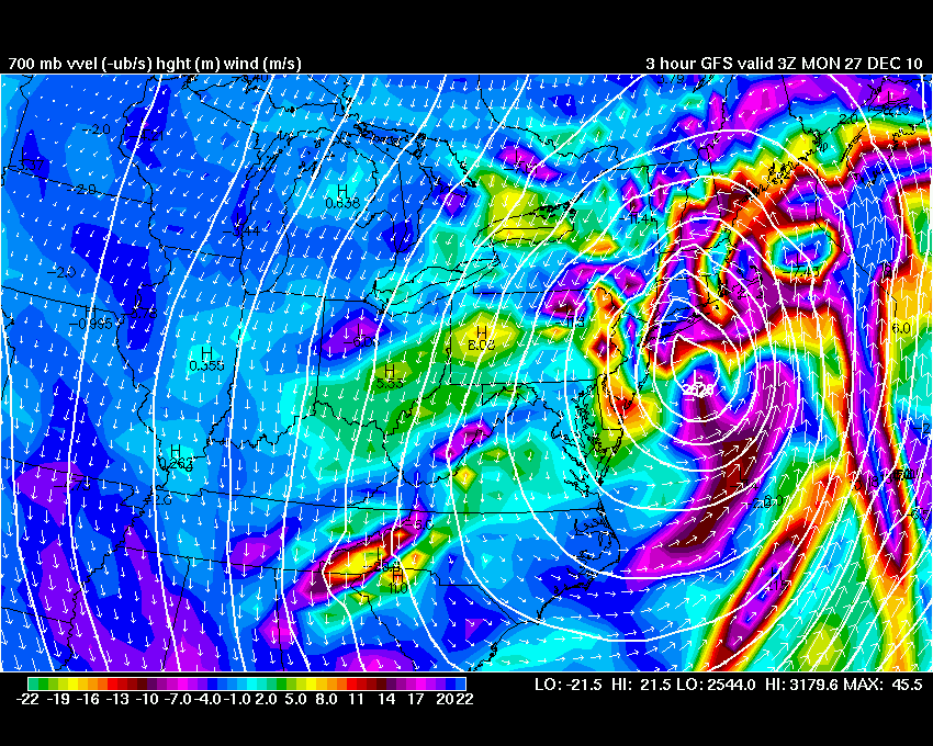
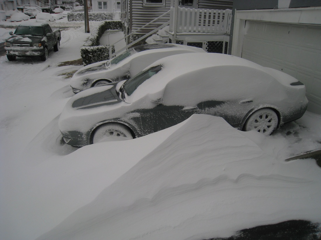
Couple of pics from 12/26 Nice drift.
-
That was an awesome storm. LOL, Foxboro had a virtual condo collapser.
-
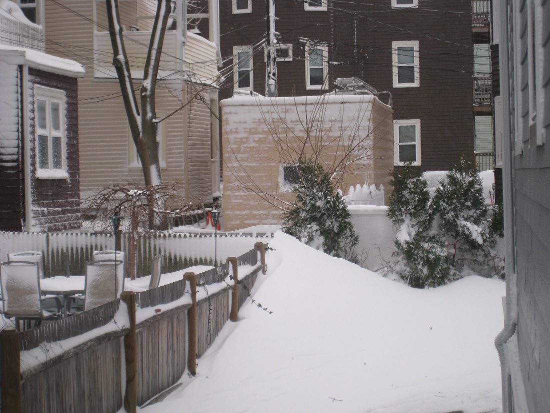
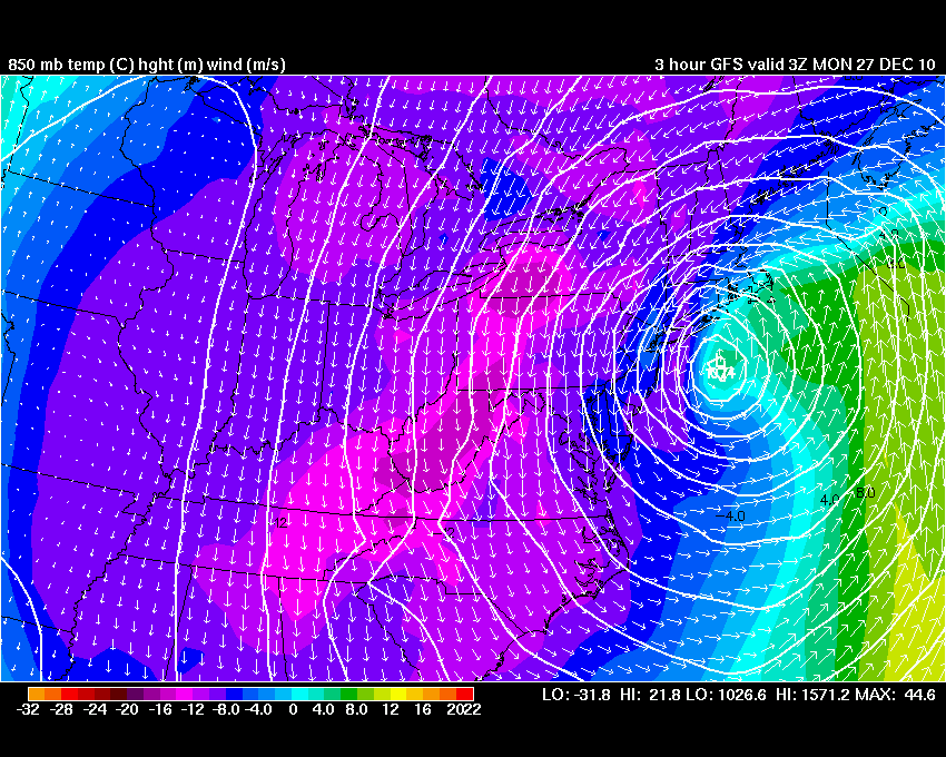
Another view of the intense lift down there. Strong low level frontogenesis too.
-
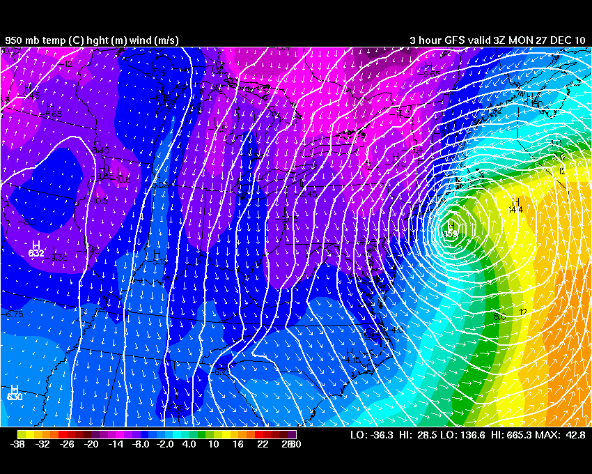
Again, I know it wasn't the greatest for all...but a few nice images I had from 12/26. Nice DS poking into ern mass, but look at the intense lift in se mass.

-
Yeah I thought about digging this thread out again,and getting the weenies fired up. You know it's bad when you post a water vapor animation at 2am, after being asleep for 3 hours.
-
Will is right though. Those are the types of systems that drop a quick 6-8" of snow, then followed by wind whipped cold. I love those too.
-
Don't forget about this little guy.
-
Convective monster.
-
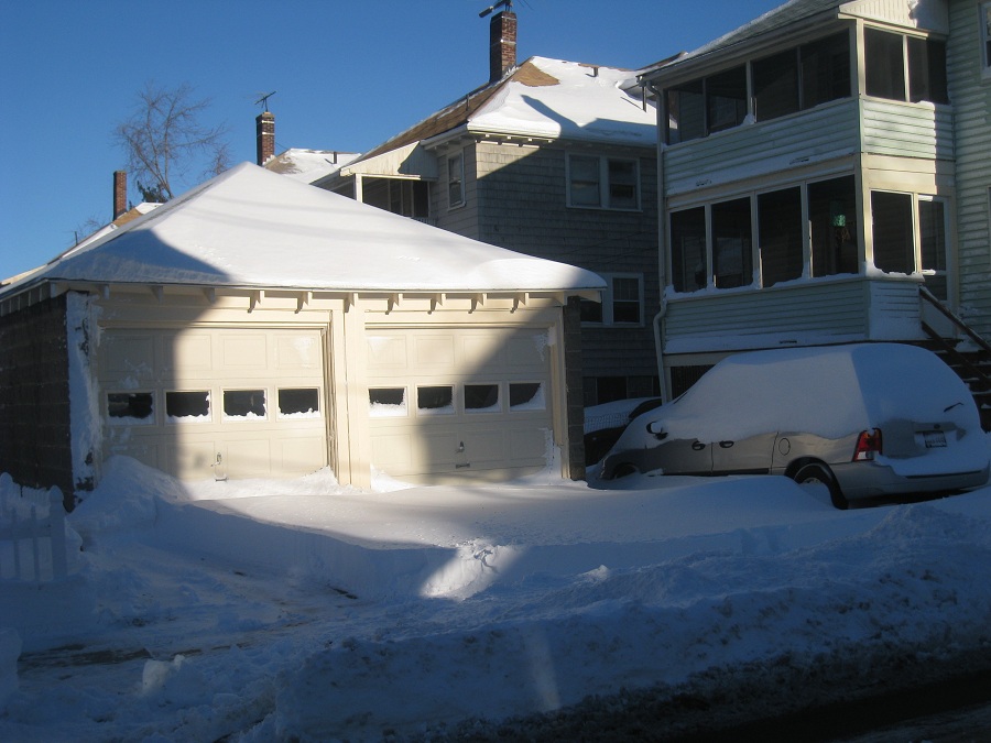
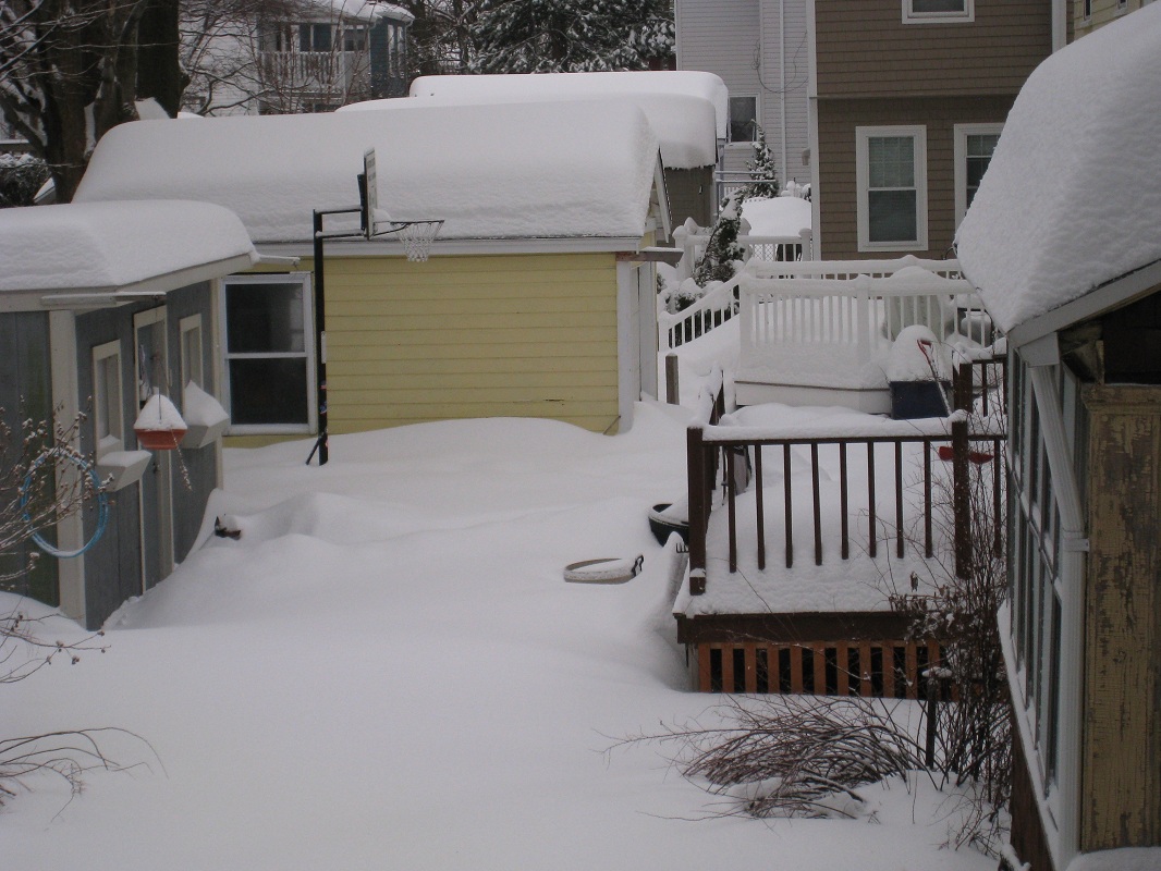
Here is 2/26 for comparison.
-
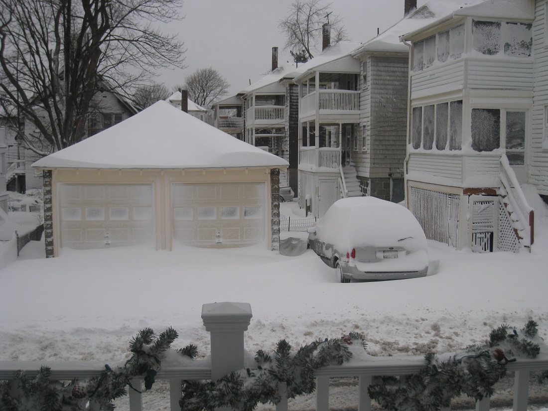
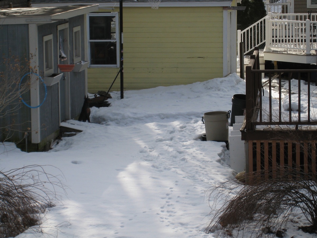
This was actually my highlight, right after the second round of snow on 2/2. That trashbarrel was my benchmark. There might have been some snow that blew off the deck, but the yard is virtually untouched.
-
Dam ORH and the ice that bulletproofed the snowpack.
-
I just right click on the image and "save image as". It saves it as an animation..I don't have to do anything.
-
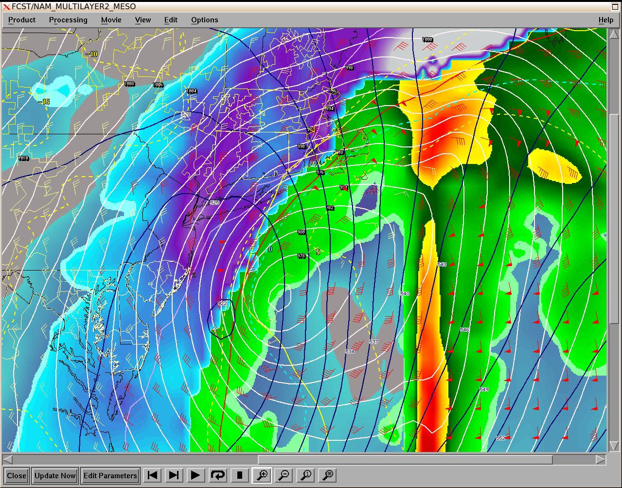
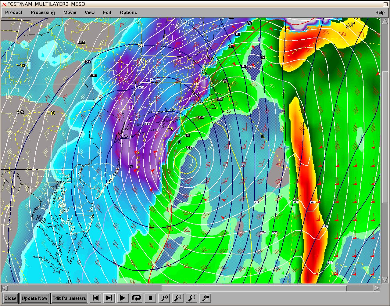
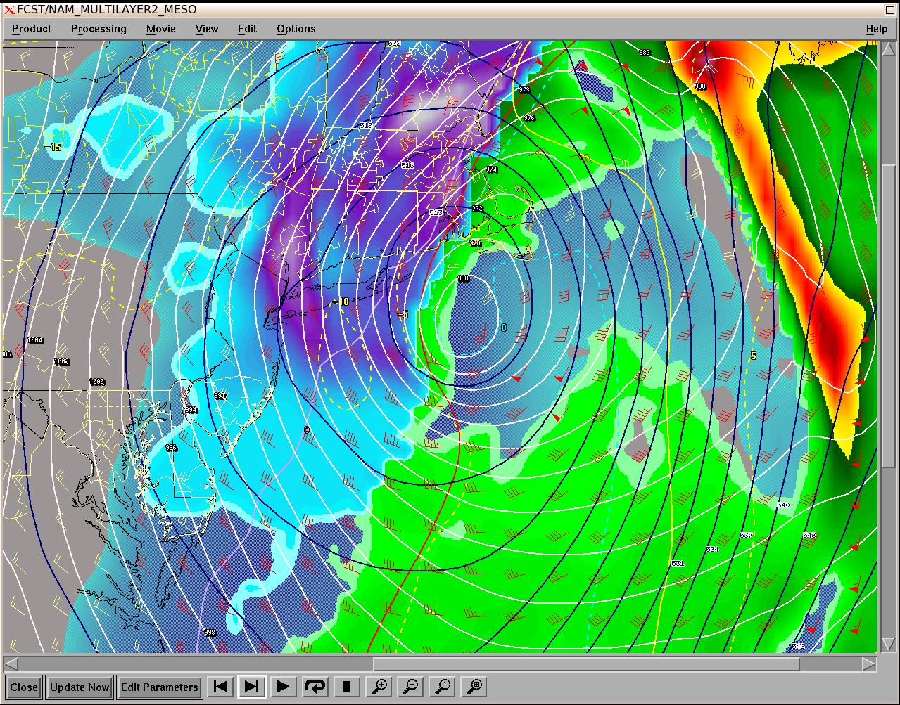
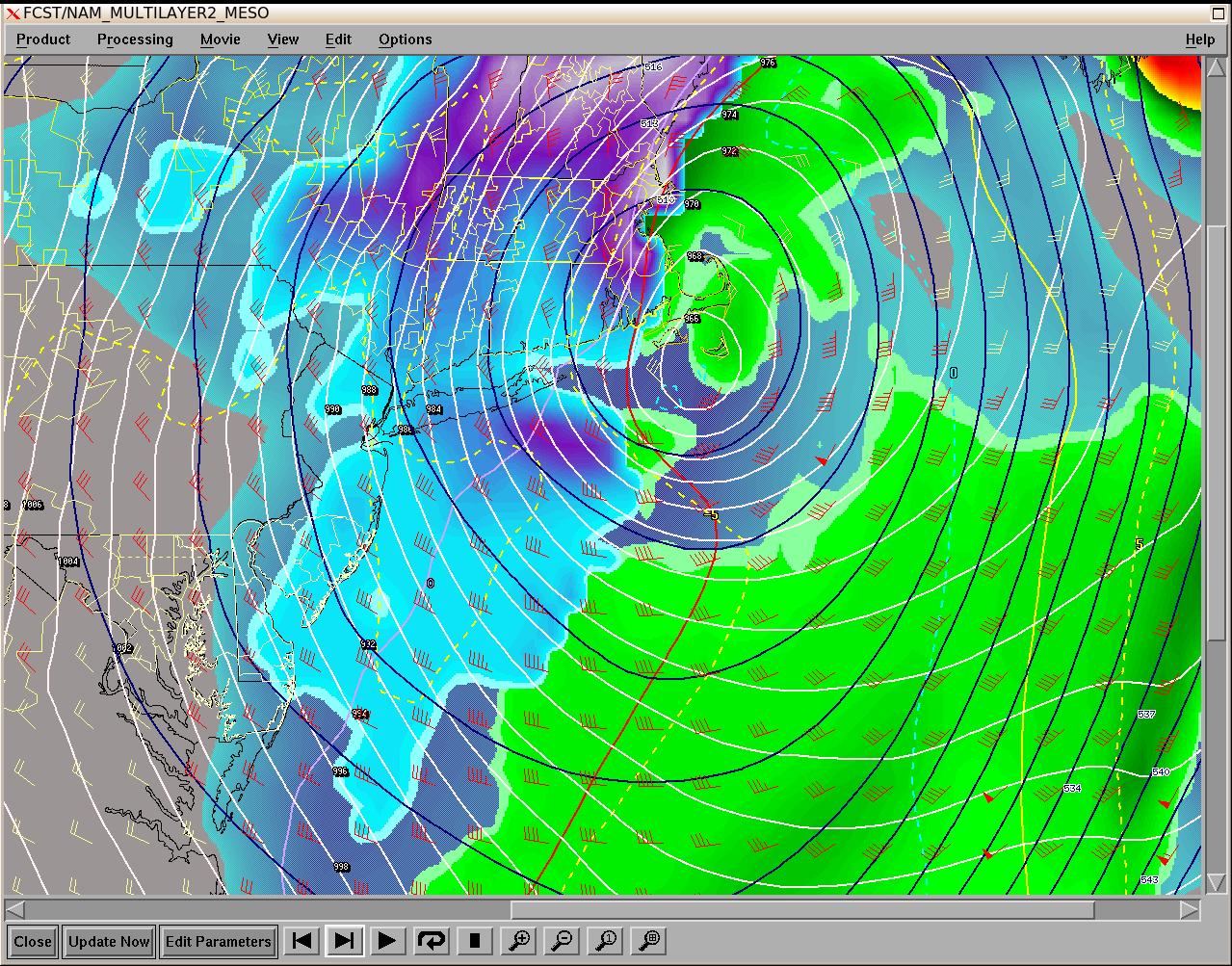
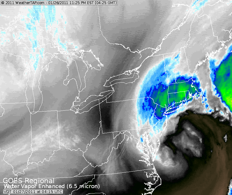
I thought this grab was really cool. It's the coastal front diving southeast on 1/12. This is the image that makes Ray cry and myself just delighted. Check out how the southwestern end was moving to the east much quicker than the area up by Newburyport. The low was pulling to the ene, so it makes sense.
-
That got borderline creepy/scary.
-
Oh yeah, the one where he almost got arrested for trespassing on the grounds of Barnstable Superior Court...trying to measure snow.
-
LOL, I think Messenger probably got blue-balled the worst, considering about 15 miles nw of him got hit hard. I'm humble because I had almost no business getting the snow I got, considering the storm track on some of these. No bragging here, because the next one could easily turn into a nude game of twister for Ray, while I'm listening to raindrops bouncing off my windows.
-
We gotta get you a good one for this winter. You were a good sport during this winter. Obviously you're happy to get good storms and you did get nailed by the 12/20 storm, but I'm sure the posts of Kevin's snowbanks while it was raining were a little disappointing.
-
Yeah we were bumming in the beginning of the month. I think the big MSP blizzard had some wondering if that was going to be the storm track. We got screwed by the one inside runner when the NAO block briefly moved into an unfavorable position. That Cape blitz came along and flipped the script on us.
-
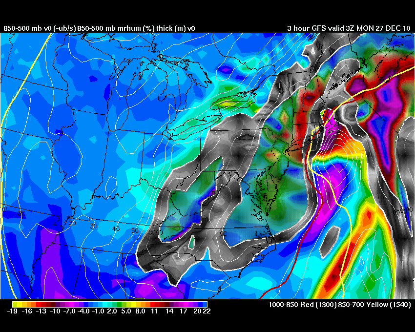
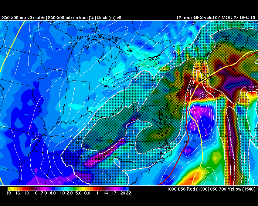
Here's the mid level middle finger for parts of central ma into CT.