michsnowfreak
-
Posts
17,998 -
Joined
-
Last visited
Content Type
Profiles
Blogs
Forums
American Weather
Media Demo
Store
Gallery
Everything posted by michsnowfreak
-

Winter 2025-26 Medium/Long Range Discussion
michsnowfreak replied to michsnowfreak's topic in Lakes/Ohio Valley
Theres a large pile at the mall here. That will be here all winter. But the rest, stay tuned lol. -
2025-2026 ENSO
michsnowfreak replied to 40/70 Benchmark's topic in Weather Forecasting and Discussion
After the holiday mild period, will be interesting to see if Jan-Feb takes on a classic nina like roller coaster pattern. With plenty of cold in Canada and plenty of warmth to the south, that may just be in the offing as we head deeper into winter. -
I didnt say he isn't, just pointing that out. GHD1 was still a big storm here...it just failed to reach expectations in SE MI. Actually boggles my mind that this bust is still talked about with everything thats happened in the 15 years since. Its not like we expected 3 feet and got 0, we expected 12-18" and got 8-11" GHDII (16.7" DTW) and Jan 22 2005 (12.2") were huge storms at Detroit with plenty of arctic air around...to say nothing of the insanity of Jan 6, 2014. Following nearly 11" of snow temps dropped to -14° in hours.
-
Winter 2025-26 Medium/Long Range Discussion
michsnowfreak replied to michsnowfreak's topic in Lakes/Ohio Valley
White Christmas looking unlikely. Bummer, but we've had snowcover the entire Christmas season to now, so thats been nice. After the holiday mild period, will be interesting to see if Jan-Feb takes on a classic nina like roller coaster pattern. With plenty of cold in Canada and plenty of warmth to the south, that may just be in the offing as we head deeper into winter. -
He doesn't consider 6-9" a big storm lol
-
2025-2026 ENSO
michsnowfreak replied to 40/70 Benchmark's topic in Weather Forecasting and Discussion
The month will nearly certainly finish colder than avg, though the extent of the upcoming thaw (and how much of the near record warmth in the southern plains makes it north) will dictate just how much. -
2025-2026 ENSO
michsnowfreak replied to 40/70 Benchmark's topic in Weather Forecasting and Discussion
First half of December was very impressive in its persistence of cold. The depth of cold was more impressive in the Great Lakes than the northeast, but even then, the widespread magnitude of well below normal temperatures was impressive over a huge area. The entire first half of December is almost ironic given the numerous posts in this very thread about volcanoes, cold being brief and not widespread, etc. First half of December rankings: Flint: 3rd coldest in 105 years Ann Arbor: 4th coldest in 145 years*** Detroit: 5th coldest in 152 years Grand Rapids: 5th coldest in 133 years Green Bay: 6th coldest in 140 years Toledo: 7th coldest in 153 years Cleveland: 8th coldest in 155 years Pittsburgh: 8th coldest in 151 years Baltimore: 10th coldest in 154 years Lansing: 12th coldest in 163 years Chicago: 13th coldest in 154 years Milwaukee: 13th coldest in 155 years Washington DC: 19th coldest in 154 years New York City: 25th coldest in 157 years For Detroit, going back to 1906 (as far as I have records), 2025 is officially only the 2nd December to have 1”+ snowcover every day for the first half of December. The only other time was 1910. To be fair, we should include 1974, as a massive snowstorm hit on Dec 1st but the snow depth at 7am was just a T. Even then, only 1910, 1974, and 2025 were nonstop blanketed in snow the entire first half of December. This shows just how early it REALLY is, but we just have to hope that the entire load of cold wasnt blown before the Winter Solstice. *** I included Ann Arbor as even though it isnt a first order station, it is one of the few stations you will find whos location has never moved (Univ of Mich campus). -
First half of December was very impressive in its persistence of cold. Southern Michigan seemed the most impressive record-wise in terms of all-time placement, but widespread temp departures of -10F to -13F encompassed the sub. Flint: 3rd coldest in 105 years Ann Arbor: 4th coldest in 145 years Detroit: 5th coldest in 152 years Grand Rapids: 5th coldest in 133 years Green Bay: 6th coldest in 140 years Toledo: 7th coldest in 153 years Cleveland: 8th coldest in 155 years Pittsburgh: 8th coldest in 151 years Lansing: 12th coldest in 163 years Chicago: 13th coldest in 154 years Milwaukee: 13th coldest in 155 years For Detroit, going back to 1906 (as far as I have records), 2025 is officially only the 2nd December to have 1”+ snowcover every day for the first half of December. The only other time was 1910. To be fair, we should include 1974, as a massive snowstorm hit on Dec 1st but the snow depth at 7am was just a T. Even then, only 1910, 1974, and 2025 were nonstop blanketed in snow the entire first half of December.
-
2025-2026 ENSO
michsnowfreak replied to 40/70 Benchmark's topic in Weather Forecasting and Discussion
December can be the coldest month in la nina, but doesn't mean the other 2 months "torch". Also, this December has been more than "cool" so far. -
Winter 2025-26 Medium/Long Range Discussion
michsnowfreak replied to michsnowfreak's topic in Lakes/Ohio Valley
I found 3 instances at Detroit where more than half the seasons snowfall fell by December 15th. Thru Dec 15...season total 2005-06: 21.0"...36.3" 1890-91: 17.2"...31.4" 1932-33: 13.1"...25.9" For comparison, season average is 42.7" with avg to Dec 15th being just 5.5". 2025-26 is at 12.6" to date. -
Winter 2025-26 Medium/Long Range Discussion
michsnowfreak replied to michsnowfreak's topic in Lakes/Ohio Valley
That is true -
2025-2026 ENSO
michsnowfreak replied to 40/70 Benchmark's topic in Weather Forecasting and Discussion
Based on what? -
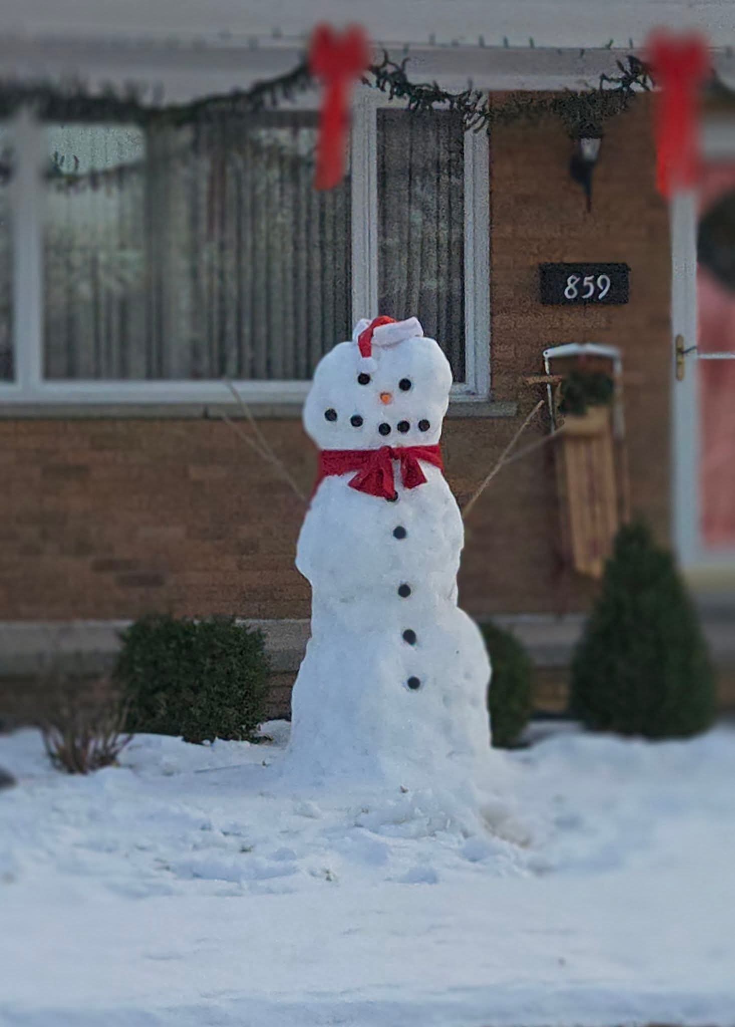
Saw this cool guy today. Im sure he isn't looking forward to Thursday either.
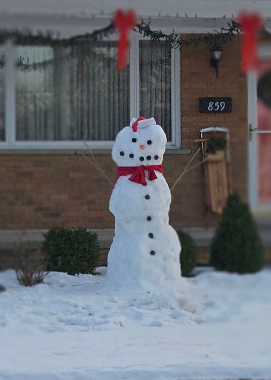
-
2025-2026 ENSO
michsnowfreak replied to 40/70 Benchmark's topic in Weather Forecasting and Discussion
I have a weather enthusiast friend who's objective but always on the pessimistic side, so im surprised hes hellbent on models being too warm in the extended. -
Bitterly cold last night for an outdoor Christmas event, but thought this was a neat shot
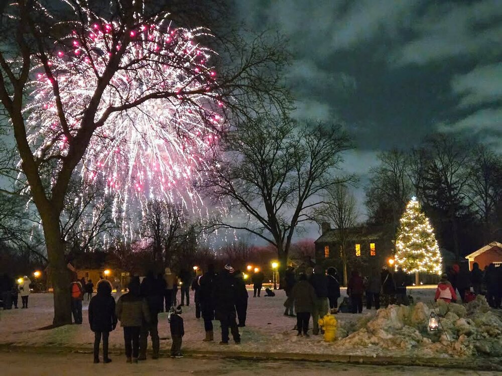
-
Winter 2025-26 Medium/Long Range Discussion
michsnowfreak replied to michsnowfreak's topic in Lakes/Ohio Valley
Many times in la nina December is the wintriest month. But it doesn't necessarily mean the others are bad. Im sure it was tongue in cheek tho, everyone knows the cfs monthlies, which change 4x a day, are useless. It does seem like some sort of gradient may want to develop, also a nina characteristic. -
2025-2026 ENSO
michsnowfreak replied to 40/70 Benchmark's topic in Weather Forecasting and Discussion
We've had snow on the ground here since November 29th. But right now its frigid and dry with the arctic air funneling in. With the east coast finally getting some snow, the thread explosion is the last thing I expected to see -
Winter 2025-26 Medium/Long Range Discussion
michsnowfreak replied to michsnowfreak's topic in Lakes/Ohio Valley
Yup. Winter done with before the winter solstice -
True. They are lucky. And they are snowier than many places further north. In fact id assume they are snowier than the banana belt of the UP even. Its a little microclimate.
-
2025-2026 ENSO
michsnowfreak replied to 40/70 Benchmark's topic in Weather Forecasting and Discussion
True, but its really no different than the other crowd during periods of cold. We will start to see random posts about warmth elsewhere on the planet. -
Agree 100% on the Wednesday clipper being a classic example the difference the hills make. Although until that system DTW & White Lake were neck and neck.
-
Similar here. 3" of frozen crust. At least it's still white.
-
While I always share frustration in snowmelt, Im curious, why do you only post when its to complain? I dont think I saw one post from you during Chicago's snow blitz not to mention one of the coldest starts to December on record.
-
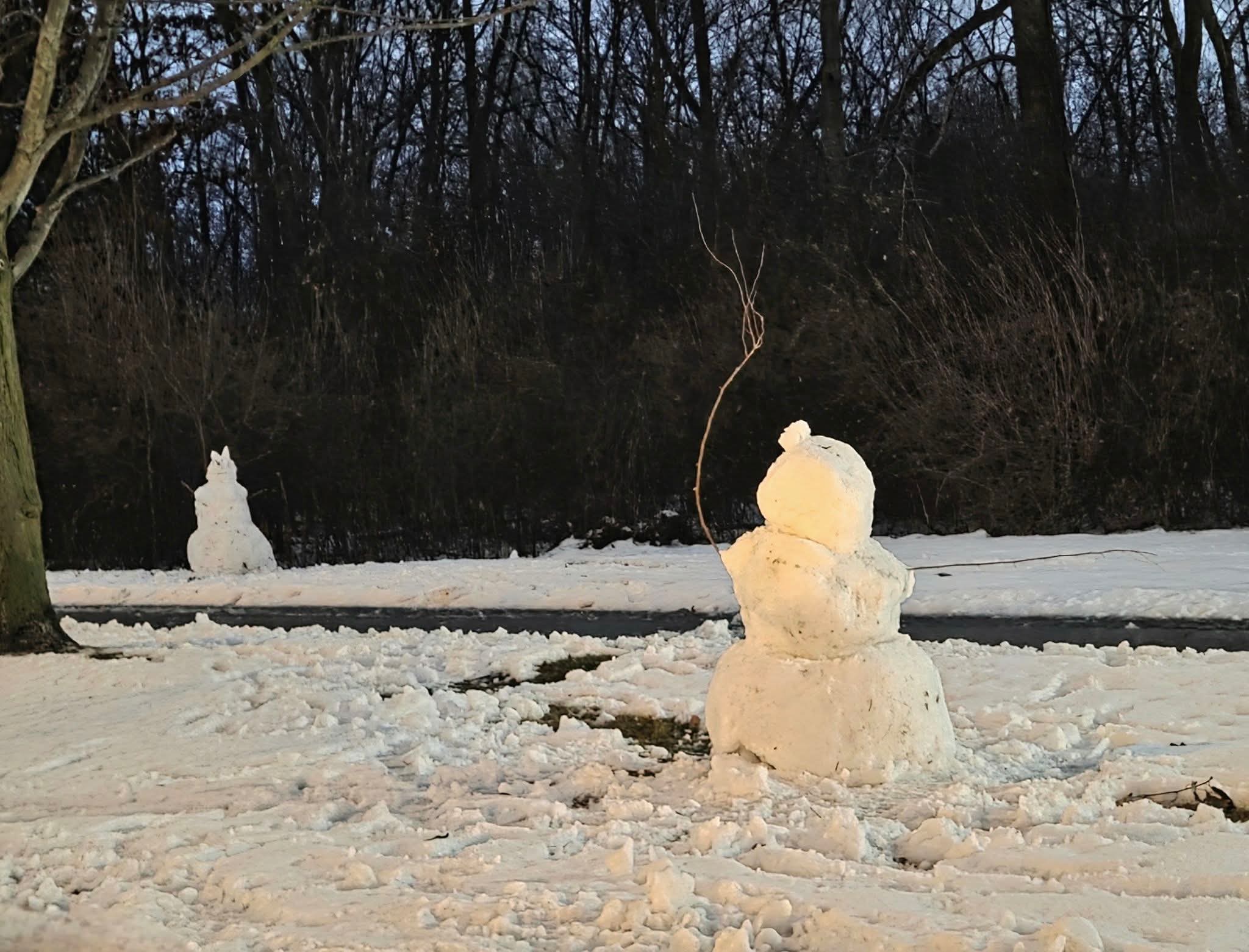
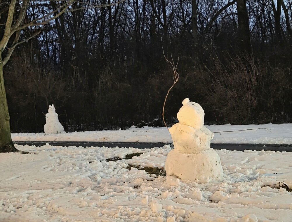
These dudes were chilling by the side of a road last night. Frozen solid after a slushy day.
-
We peaked at 5-6" depth pre dawn yesterday and have 3-4" left. Theres a few grass patches in the usual places (trees by Salt splashed roadsides) but the snow is frozen solid.