michsnowfreak
-
Posts
17,980 -
Joined
-
Last visited
Content Type
Profiles
Blogs
Forums
American Weather
Media Demo
Store
Gallery
Everything posted by michsnowfreak
-

Pre-Christmas (Dec 21-23rd) Winter Storm
michsnowfreak replied to Chicago Storm's topic in Lakes/Ohio Valley
Usually strong winds cut ratios. Those are some fun runs though. -
Pre-Christmas (Dec 21-23rd) Winter Storm
michsnowfreak replied to Chicago Storm's topic in Lakes/Ohio Valley
I loved that storm. Jackpotted here to boot. 11.5" huge drifts. Blizzard conditions. Again... I'm sure the public considered that a blizzard over February 11th. Just my opinion, blizzard is an overused word. Give me 17" of snow with 25 mph winds on February 1, 2015 over 65 mph wind gusts and blowing snow on February 11, 2003. -
Pre-Christmas (Dec 21-23rd) Winter Storm
michsnowfreak replied to Chicago Storm's topic in Lakes/Ohio Valley
Actually there was. I remember very distinctly because this went hand-in-hand with what I'm always harping on. The general public misinterprets the word blizzard. It was February 11th 2003 and the national weather service issued a blizzard warning along the Arctic front. We had 2" of snow on the ground and we got another 1.2" with the front in absolute blizzard conditions. The warning was verified but it was one of those times that the word blizzard is not to be associated with feet of snow. They get blizzard warnings in the plains with no snow falling sometimes. -
Pre-Christmas (Dec 21-23rd) Winter Storm
michsnowfreak replied to Chicago Storm's topic in Lakes/Ohio Valley
In my opinion those are two overused issues brought up. Dry slots happen in most storms but it's not like any areas prone to them more than another. As for blizzard? I think the last one was February 2003 but blizzard is blizzard is more about wind and visibility. I'm totally fine getting a big storm without blizzard criteria. But if it happens, bring it -
Winter 2022/23 Medium/Long Range Discussion
michsnowfreak replied to Chicago Storm's topic in Lakes/Ohio Valley
Your palms will have snow on them in April -
December always seems to be gray no matter what the pattern. Certainly wouldnt call it a fall month lol, despite a string of milder than avg Decembers.
-
-
Winter 2022/23 Medium/Long Range Discussion
michsnowfreak replied to Chicago Storm's topic in Lakes/Ohio Valley
Last year, we lucked into back to back snowfalls Nov 27-29 (4.3" + 2.0") but as I recall they were isolated to just southern Michigan. Dec 2020 was also very flukey to SE MI. We basically had average snowfall while everyone else had a dumpster fire. I want to be buried all winter, but if the snow gods must I'll sacrifice another 200-300% of average snowfall February for some better times in the mid December to mid January timeframe. -
Winter 2022/23 Medium/Long Range Discussion
michsnowfreak replied to Chicago Storm's topic in Lakes/Ohio Valley
While the circus of models continue their indecisiveness....it does appear that mid month amd beyond looks more wintry. Hopefully translates to a white Christmas for most of us. -
November 29 gfs upgrade
-
Winter 2022/23 Short/Medium Range Discussion
michsnowfreak replied to Chicago Storm's topic in Lakes/Ohio Valley
-
Winter 2022/23 Short/Medium Range Discussion
michsnowfreak replied to Chicago Storm's topic in Lakes/Ohio Valley
Did the GFS undergo its late November "upgrade" as planned? -
A definite theme lately.
-
Woah slow down there
-
There's 28 days left in the month.
-
Winter 2022/23 Medium/Long Range Discussion
michsnowfreak replied to Chicago Storm's topic in Lakes/Ohio Valley
I'm as guilty as anyone else in complaining about the models every year, but I can honestly say I have never seen more run to run variability than we've been seeing lately. Not just in the op runs (that's not so unusual), but even the ensemble means. -
There's a few others. Dmc comes to mind.
-
Agree. 2010, 2013, 2016, 2017 were good Decembers. 2012 & 2020 were ok.
-
I've been measuring snow since 1995 and liquid precip since 2000. Regardless of what happens in December (unless we get unforeseen massive amounts of rain and snow), 2022 will be my driest year of record. The last 3 winters have stayed remarkably close to climo for total snow, each of the 3 finishing ever so slightly above average. Our last real snowy Winter would be 2017-18. Our last real low snow winter was 2011-12. We had a real good snowstorm in February 2021 (11") and despite the GHD bust last year we still had 2 6+ storms in Feb). Last 12+ storm Feb 2015.
-
Deform bands actually often give us better snow than the storm itself in many snowstorms. Today's rainstorm is a great sign for a stormier pattern setting up for Winter. We literally could not buy decent rains at any point during the warm season.
-
Honestly, there really weren't any downpours at least here. There was one decent one in like August. But it was brief. And no, February 17th was not the anticipated big dog. You're thinking of February 2nd. That 2 day, 2 wave totaled 0.82" precip, 9.2" snow.
-
Feb 17th was the wettest system of the year (1.29" pcp, 6.6" snow). Rain to hvy sleet to hvy snow. How unusual is that to not have any good summer downpours.
-
Yeah. 1.7 on the 19th and 0.1 just after midnight on the 20th. I'm ready for a bowling ball, those are my favorite.
-
Winter 2022/23 Short/Medium Range Discussion
michsnowfreak replied to Chicago Storm's topic in Lakes/Ohio Valley
Euro weeklies looking pretty cold for December. -
Winter 2022/23 Lake Effect Snow Thread
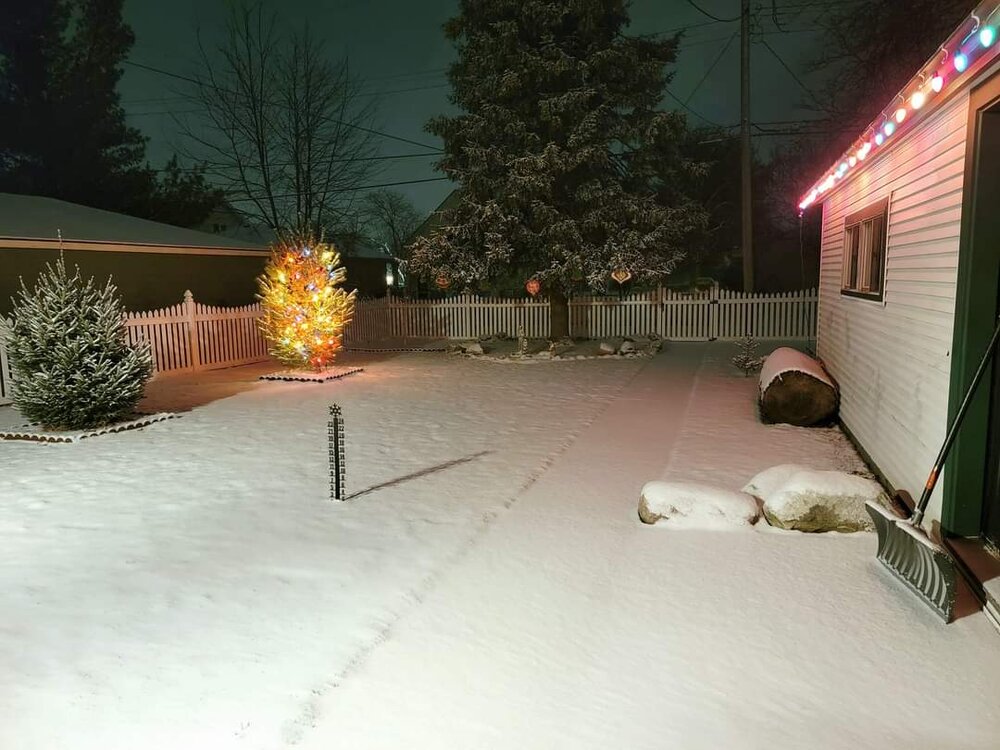
michsnowfreak replied to Chicago Storm's topic in Lakes/Ohio Valley
Would have been just incredible to see this south Buffalo snow in person. Lucky that 1 of our own lives in the hamburg jackpot zone, we don't have to rely on crappy media stories. Meanwhile here, after days of constant flurries and light snow showers here as the flow annoyingly kept the heaviest squalls to my north, last night's Arctic front brought heavy snow and blowing snow, dropping a quick 1.8". Up to 2.9" on the season. Temperatures dropped to 15° this morning and the powder was crunching as if it was mid-Winter rather than mid-November.