

mahk_webstah
-
Posts
11,845 -
Joined
-
Last visited
Content Type
Profiles
Blogs
Forums
American Weather
Media Demo
Store
Gallery
Everything posted by mahk_webstah
-

July 16, 2023 Flooding & Tornado Potential
mahk_webstah replied to WxWatcher007's topic in New England
Be grateful -
July 16, 2023 Flooding & Tornado Potential
mahk_webstah replied to WxWatcher007's topic in New England
To warm for tweed -
July has arrived ... the Meteorologically defined mid summer month
mahk_webstah replied to Typhoon Tip's topic in New England
Are you new here? -
July has arrived ... the Meteorologically defined mid summer month
mahk_webstah replied to Typhoon Tip's topic in New England
Dewly sounds better pronounced dew-lie -
Dumping here and the train is setting up over us this time
-
I think your paws are going to get plenty of water. Meanwhile, the sun has come out and we continue to get better than forecast reality. Very good for the garden going to water but then the sun and the wind dry things out a bit.
-
This is a good thing. With the chance of showers and thunderstorms and heavy downpours every day for a week, I think we really want to try to stay on the low end. So far I feel very lucky in that I’m getting enough rain to keep everything wet, but no flooding so far. As always, my concern is for the tomatoes.
-
Yet another day, that seems to me like an over performer in these last few weeks. We’ve ended up with more sun and warmth than the forecast would have predicted, and that is continuing. Tomorrow will suck, but maybe we get some sun on Sunday. As long as it’s not cold and damp the tomatoes will do just fine with the temperature not getting below 60 at night as long as the sun comes out a bit
-
My cousin there right now is snowboarding and says there’s 15 feet as of last week at the top of the mountain and 11 at the bottom
-
Hopefully we get periods of sun over the next few days. I realize that will just cause heavier storms later but I think the tomatoes would like the sun. At least it’s not cold and wet.
-
I actually thought that though the pattern looks and is at times horrible, the ground truth is it 4 of the last six days have had significant amounts of sunshine and temperatures somewhere between the low 70s to the low 80s. Actually pretty good for the garden and the trees I have to say. It’s just distressing to look at a 10 day forecast and see showers every day and eyes in the 60s. That doesn’t seem to be verifying most of the time.
-
No change.
-
God I hope so. This is getting old.
-
Driveway caved
-
perfectly screws over Ray and Anthony while Kevin sculpts piles and Dendrite breaks 100
-
My zone has 100% chance of snow Saturday night. Very confident so far out. But no matter...I'll be on my way to Vegas.
-
the norther the better we melt! (please)
-
I think more is coming for up here, and probably 3 events. As someone said yesterday, they are lined up, and this kind of setup is ripe for this time of year. I bet one gets a good part of SNE.
-
You are newly married. I'm certain you can think of something that is romantic, that speaks to new growth, sunshine, etc. Come on Ant!
-
Patches opening up under the pines and near stone walls and boulders. But the pack is still mostly 6-18" in the fields and 18-24 in the woods. Everyday it softens and at night it refreezes but not as a glaze, instead as a sort of granular, freeze-dried surface that is awesome to walk on. I love walking on top of 1-2' of snow. I want it to melt out, but in the meantime....
-
Pretty good setup Saturday Probs getting into interior SNE
-
This is Saturday. Hmmmm. and then Sunday look what’s behind it
-
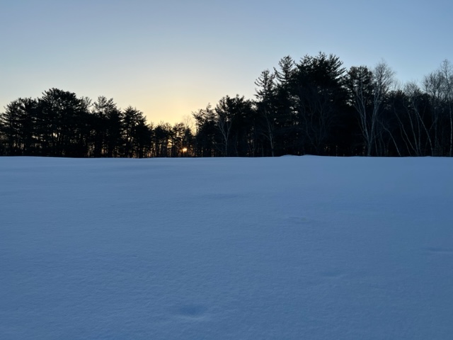
Kind of an awesome morning. Cold enough last night so that the 6 to 18 formed a hard crust that we could walk on instead of constantly sinking into it and hurting my knee lol. Won’t be much melting for the next 36 hours, so want to enjoy the white snow fields and hope that it just melts out and there’s no more on top.
-
For when and for where if you don’t mind


